The best walks and hikes around Vingersjøen
5.0
(3)
25
hikers
12
hikes
Hiking around Vingersjøen offers diverse landscapes characterized by the lake's unique hydrological features, including a rare bifurcation phenomenon where water can flow into two different river systems. The region features a significant delta area with diverse plant life, rich sand pine forests, and old-growth pine forests. Historical elements such as ancient burial mounds and Kongsvinger Fortress add cultural depth to the natural environment. The area provides varied terrain suitable for different hiking experiences.
Best hiking trails around Vingersjøen
- The most…
Last updated: June 27, 2026
5.0
(1)
7
hikers
6.06km
01:40
100m
100m
Easy hike. Great for any fitness level. Easily-accessible paths. Suitable for all skill levels.
6
hikers
4.86km
01:22
100m
100m
Easy hike. Great for any fitness level. Easily-accessible paths. Suitable for all skill levels.

Sign up for free
3
hikers
5.95km
01:51
220m
220m
Easy hike. Great for any fitness level. Easily-accessible paths. Suitable for all skill levels.
5
hikers
7.54km
02:19
250m
250m
Moderate hike. Good fitness required. Easily-accessible paths. Suitable for all skill levels.
2
hikers
9.28km
02:27
90m
90m
Moderate hike. Good fitness required. Easily-accessible paths. Suitable for all skill levels.
Get access to more routes and recommendations from other explorers.
Sign up for free
Already have an account?
Our route recommendations are based on thousands of hikes, rides, and runs completed by other people on komoot.
Start today with a free account
Your next adventure awaits.
Login or Signup
Tips from the Community

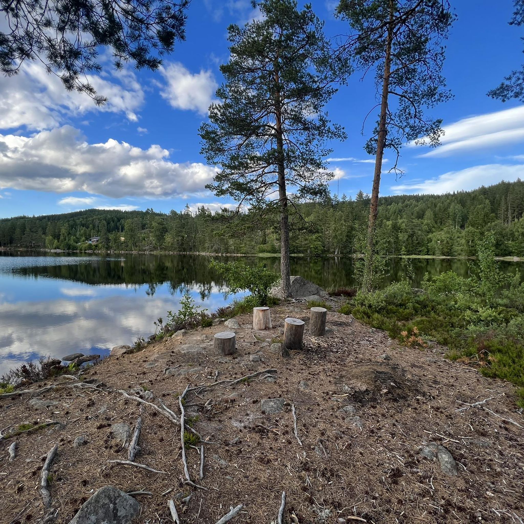
Bogerfløyta is a peaceful place where water and nature come together, with calm shores and an open landscape that invites you to pause and take in the surroundings. The route there often follows pleasant trails and quiet roads, while you enjoy fresh air, green scenery, and beautiful views along the way.
0
0

Dating back to 1697–1699, Vinger Church was built for both the garrison and the local parish.
0
0
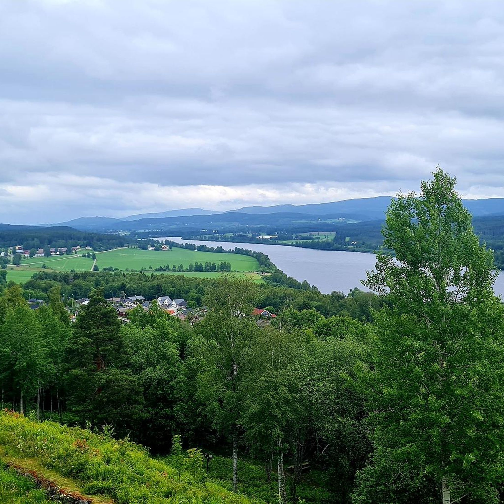
Perched high on a steep hill, this old fortress has an amazing view of Kongsvinger and the Glomma below.
0
0

Kongsvinger is a town situated strategically on the Glomma river, dominated by the impressive Kongsvinger Fortress perched on the hill above. You'll find services and amenities here, making it a practical stop for your rides through this region.
0
0

The observation tower offers a great panoramic view of the forests in the Norway/Sweden border area
5
0
Built 1697-1699 as a garrison and parish church
2
0

You can visit large parts of the fortress for free. Only the museum has an entrance fee. Worth a visit for the fortress and the view.
0
0
The formation of stalactites can be seen in the former bullet magazine due to the humidity and the rock used
4
4
Frequently Asked Questions
What kind of terrain can I expect when hiking around Vingersjøen?
The terrain around Vingersjøen is quite varied. You'll find a significant delta area with diverse plant life, rich sand pine forests, and old-growth pine forests. The trails often follow the lake's shores, offering a mix of forest paths and open views, with some routes featuring moderate elevation changes.
Are there any easy hiking trails suitable for beginners or families in Vingersjøen?
Yes, Vingersjøen offers several easy trails. For example, the Kongsvinger Fortress loop from Kongsvinger is an easy 6.1 km route that takes about 1 hour 40 minutes to complete, offering historical views without significant challenge. Overall, there are 5 easy routes available in the area.
What natural features make Vingersjøen unique for hikers?
Vingersjøen is known for its unique hydrological phenomenon called bifurcation, where its water can flow into two different river systems depending on conditions. The northern end features a significant delta area rich in diverse plant life, including several red-listed species. You can also explore rich sand pine forests and old-growth pine forests.
Are there any historical landmarks or points of interest to see while hiking near Vingersjøen?
Absolutely. The area is rich in history. You can observe old large farms with historical roots. At the southern end of Vingersjøen, near Overud and Kabberud, you might find Bronze Age burial mounds on rock outcrops. Kongsvinger Fortress, a prominent historical landmark, also offers commanding views over Vingersjøen and the surrounding area, and can be explored via routes like the Kongsvinger Fortress loop from Kongsvinger.
Are there any circular hiking routes around Vingersjøen?
Yes, many of the trails around Vingersjøen are designed as loops, allowing you to start and end at the same point. Examples include the Hiking loop from Sjøenden and the Vinger Church – Kongsvinger loop from Gjemselund, both offering varied experiences.
What is the best time of year to go hiking in Vingersjøen?
The Kongsvinger region, including Vingersjøen, is an 'outdoor Eldorado' with excellent conditions for hiking. While specific seasonal details aren't provided, generally, spring through autumn offers the most pleasant weather for exploring the diverse flora and historical sites. Winter hiking may be possible, but conditions would require appropriate gear.
What do other hikers say about the trails in Vingersjøen?
The hiking trails in Vingersjøen are highly regarded by the komoot community, with an average rating of 5.0 stars from 4 reviews. Hikers often praise the varied terrain, the unique lake features, and the blend of natural beauty with historical landmarks like Kongsvinger Fortress.
How many hiking routes are available in the Vingersjøen area?
There are 11 hiking routes available around Vingersjøen, offering a range of experiences. These include 5 easy routes and 6 moderate routes, ensuring options for various fitness levels.
Are there any trails that offer good viewpoints of Vingersjøen or the surrounding landscape?
Many trails around Vingersjøen provide scenic views, especially those that follow the lake's shores or ascend to higher ground. Kongsvinger Fortress, accessible via routes like the Kongsvinger Fortress loop from Kongsvinger, offers commanding panoramic views over the lake and the wider region.
What kind of plant life can I expect to see in the Vingersjøen area?
Vingersjøen is notable for its rich botanical diversity, particularly in its northern delta area. You can find 199 recorded species of vascular plants, including 8 red-listed species such as pale violet and river awlwort. The shores also host rare plants like dwarf smooth-whorl grass and fragile smooth-whorl grass, alongside rich sand pine and old-growth pine forests.
Are there any moderate hiking trails for those looking for a bit more challenge?
Yes, Vingersjøen offers 6 moderate hiking trails. The Hiking loop from Sjøenden is a popular moderate 7.5 km path that explores varied terrain, providing a good balance of challenge and scenic beauty.
Most popular routes around Vingersjøen

Get inspired with the komoot mobile app


Explore more
Browse the best Hikes in other regions.
