The best road cycling routes around Dalavatnet
4.0
(2)
153
riders
3
rides
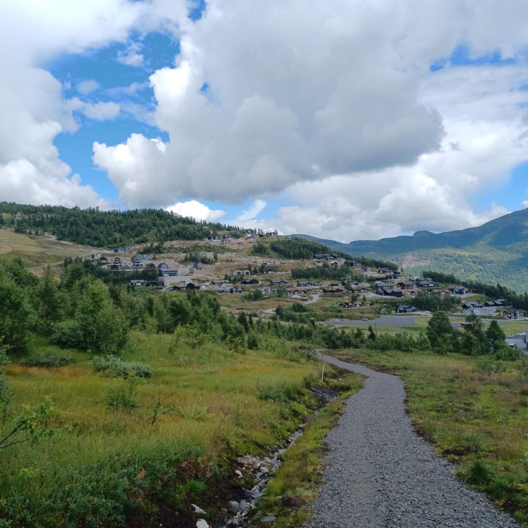
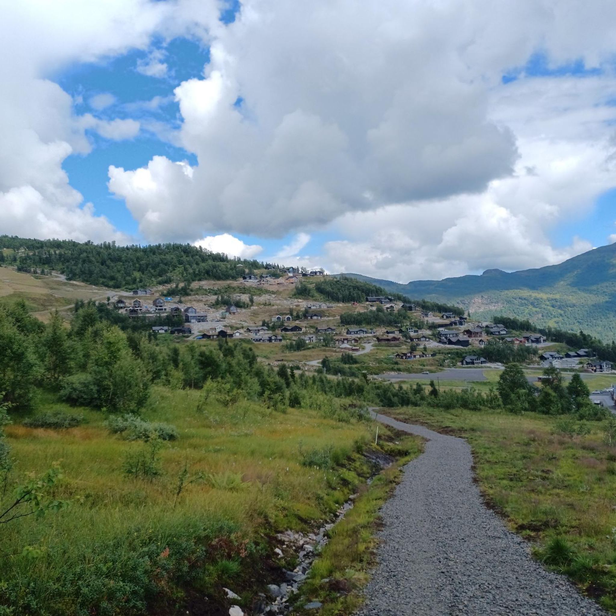
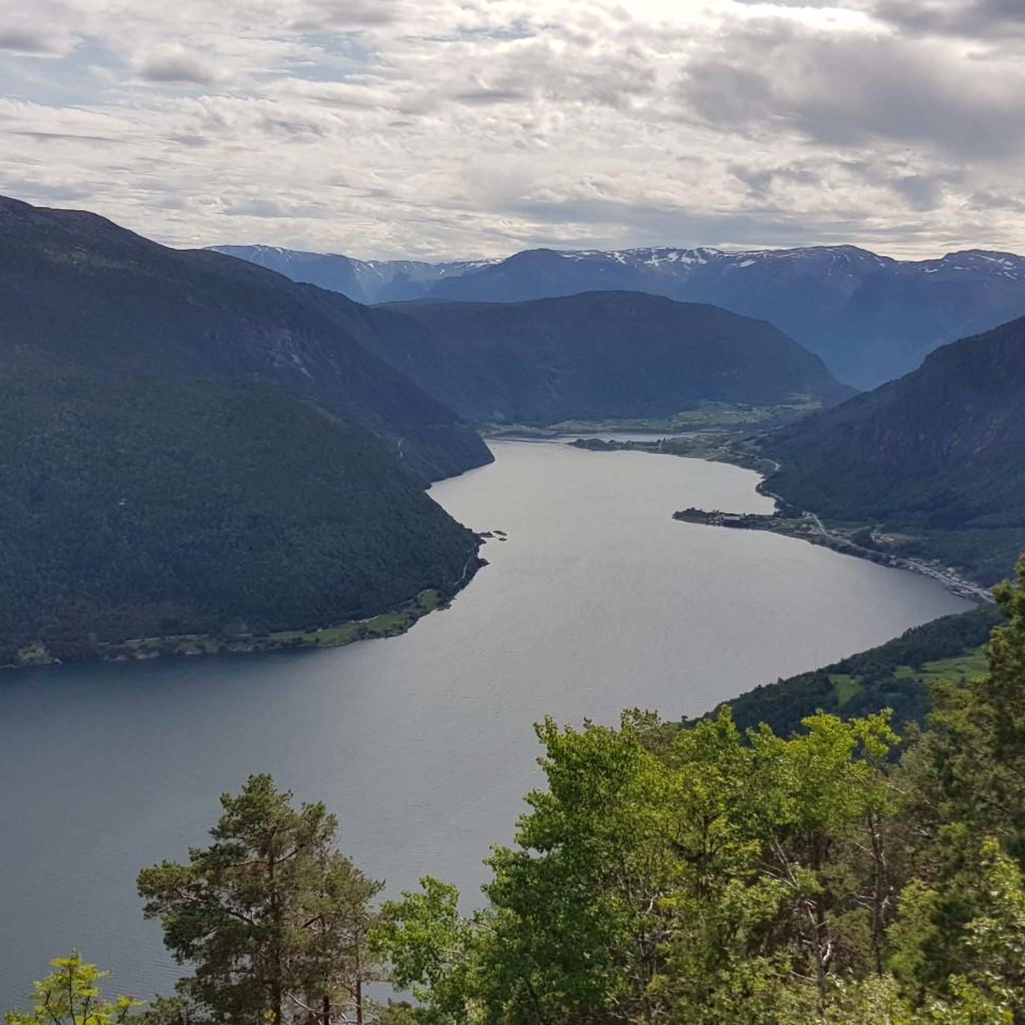
Road cycling around Dalavatnet offers routes through a dramatic mountain panorama, with the lake situated at 395 meters above sea level in the Sogndalsdalen valley. The region features roads like Riksveg 5 and Gamle Dalavegen, providing access to routes that combine asphalt and simple gravel sections. The terrain includes both mostly flat stretches along the lake and more challenging ascents into the surrounding mountains. This area is characterized by its natural features, including the lake itself and the framing mountains.
Best road cycling routes around Dalavatnet
- The most popular road cycling route is Dalavatnet loop from Sogndal, a 19.9 miles (32.1 km) trail that takes 1 hour 33 minutes to complete. This moderate route offers views of the lake and surrounding rural landscape.
- Another top favourite among local road cyclists is Urnes Ferry Terminal – Feigumfossen loop from Sogndal, a difficult 64.9 miles (104.4 km) path. This route features significant elevation gain and expansive valley views.
- Local road cyclists also love the Murahaug – Holene loop from Sogndal, a 16.1 miles (25.9 km) trail leading through varied terrain, often completed in about 2 hours 51 minutes.
- Road cycling around Dalavatnet is defined by lake-side roads, mountain backdrops, and rural sections with local farms. The network offers options for moderate and difficult ability levels.
- The routes in Dalavatnet are highly rated by the komoot community with an average score of 4.0 stars from over 2 reviews. More than 140 road cyclists have used komoot to explore Dalavatnet's varied terrain.
Last updated: July 10, 2026
6
riders
32.5km
01:37
410m
410m
Moderate road ride. Good fitness required. Mostly well-paved surfaces and easy to ride.
4.0
(1)
102
riders
104km
05:09
1,580m
1,580m
Hard road ride. Very good fitness required. Mostly well-paved surfaces and easy to ride.

Sign up for free
6
riders
25.8km
02:50
810m
810m
Moderate road ride. Good fitness required. Mostly well-paved surfaces and easy to ride.
4.0
(1)
34
riders
57.9km
03:02
940m
940m
Hard road ride. Very good fitness required. Mostly well-paved surfaces and easy to ride.
5
riders
98.0km
05:12
1,780m
1,780m
Hard road ride. Very good fitness required. Mostly well-paved surfaces and easy to ride.
Our route recommendations are based on thousands of hikes, rides, and runs completed by other people on komoot.
Start today with a free account
Your next adventure awaits.
Login or Signup
Popular around Dalavatnet
Tips from the Community

The ferry has limited departure times, which also vary seasonally; it's best to check in advance: https://www.lustrabaatane.no/ornes-solvorn https://www.fergeruter.info/timetable/solvorn-ornes
0
0

Great bakery with very good coffee from the portafilter machine
0
0

A fantastic stop on the Lusterfjord circuit. Room for just nine cars, but always plenty of room for cyclists and pedestrians.
0
0
to the Feigefossen waterfall, I highly recommend
0
0

The ferry departs every hour and the crossing takes about 15 minutes
5
1
There must be time for a break here. Cinnamon rolls and other pastries, as well as bread from the old stone oven
0
0


From here you have a great view of the fjord.
3
0
Frequently Asked Questions
How many road cycling routes are available around Dalavatnet?
There are 5 road cycling routes detailed in this guide for the Dalavatnet area, offering a range of experiences for different skill levels.
What kind of terrain can I expect on road cycling routes around Dalavatnet?
The terrain around Dalavatnet is varied. You'll find routes with mostly flat stretches along the lake, often on asphalt and simple gravel roads, ideal for leisurely rides. Other routes venture into the surrounding mountains, featuring significant elevation gains and challenging ascents.
Are there any family-friendly road cycling routes around Dalavatnet?
Yes, the region offers routes suitable for families. The 'Bike ride to Anestølen' mentioned in the region research, which follows along Dalavatnet from the Sogndal Ski Center, is described as mostly flat and on easy terrain (asphalt and simple gravel roads), making it a good option for a relaxed family outing.
What is the best time of year for road cycling in Dalavatnet?
While specific seasonal details aren't provided, the region's dramatic mountain panorama with snow-capped peaks suggests that late spring through early autumn would offer the most favorable conditions for road cycling, avoiding winter snow and ice.
Are there any challenging road cycling routes for experienced cyclists?
Absolutely. For experienced cyclists seeking a challenge, routes like the Urnes Ferry Terminal – Feigumfossen loop from Sogndal, spanning over 104 km with significant elevation gain, or the Dalavatnet loop from Gaupne, nearly 98 km with substantial climbing, offer demanding rides.
Can I find circular road cycling routes around Dalavatnet?
Yes, several routes are designed as loops. For example, the Dalavatnet loop from Sogndal is a popular moderate route that circles the lake, offering continuous scenic views.
What are some notable landmarks or viewpoints along the road cycling routes?
The primary landmark is Dalavatnet itself, with its stunning reflections of the surrounding mountain panorama. Routes often feature rural sections where you might cycle among cows and goats, offering charming local scenery. While specific viewpoints for cyclists aren't detailed, the general landscape provides continuous picturesque vistas.
What is the average difficulty of road cycling routes in Dalavatnet?
The routes in this guide range from moderate to difficult. There are 2 moderate routes and 3 difficult routes, catering to cyclists with varying fitness levels and experience.
Are there any amenities like cafes or accommodation along the road cycling routes?
The region research mentions that Dalavatnet is located in the municipality of Sogndal, which is a larger center. While specific cafes or accommodations directly on the routes are not detailed, Sogndal and nearby areas would offer such amenities for cyclists.
What do other road cyclists enjoy the most about road cycling in Dalavatnet?
The area is highly rated by the komoot community, with an average score of 4.0 stars from over 2 reviews. Cyclists often praise the combination of lake-side roads, dramatic mountain backdrops, and charming rural sections with local farms, providing a visually rewarding and active experience.
Are there any shorter road cycling routes for a quick ride?
Yes, for a shorter ride, the Murahaug – Holene loop from Sogndal is a moderate route covering approximately 25.8 km, typically completed in under 3 hours, offering varied terrain.
What kind of natural features will I see while cycling around Dalavatnet?
You will be surrounded by a dramatic mountain panorama, often with snow-capped peaks reflecting in Dalavatnet's waters. The lake itself is a significant feature, and the routes traverse the scenic Sogndalsdalen valley, framed by majestic mountains.

Get inspired with the komoot mobile app


Explore more
Browse the best Road cycling routes in other regions.
