The best MTB trails around Frøylandsvannet
8
riders
2
rides
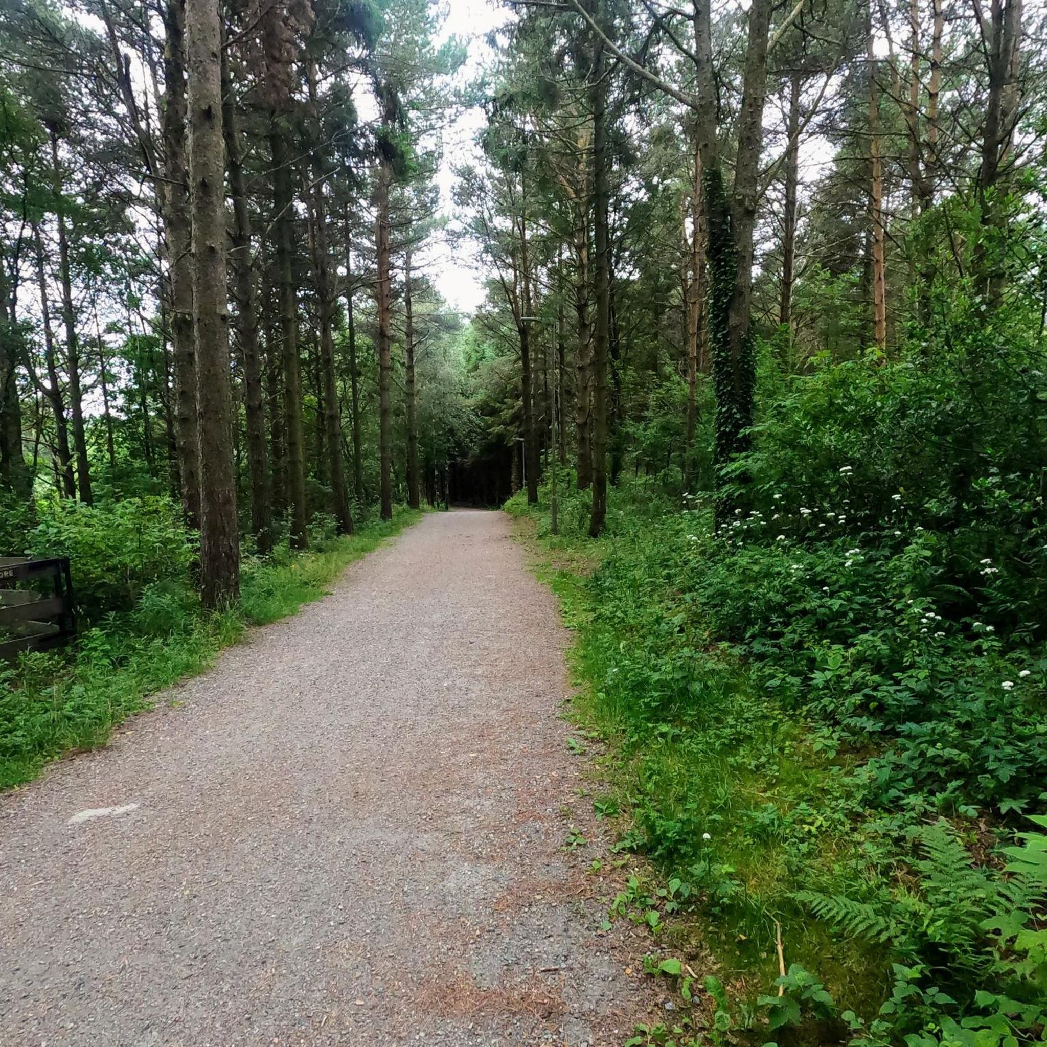
Mountain biking around Frøylandsvannet offers diverse landscapes, transitioning from open grazing land to dense spruce forests. The region features a blend of terrain, including flat, well-maintained gravel paths around the lake and more challenging technical sections. This area provides an extensive network of trails suitable for various skill levels, set within the distinctive agricultural landscape of Jæren. The trails traverse a dynamic backdrop, including the unique Midgardsormen wooden bridge and the Njåskogen forest.
Best mountain bike trails around Frøylandsvannet
- The…
Last updated: June 27, 2026
5
riders
46.6km
03:02
600m
600m
Moderate mountain bike ride. Good fitness required. Suitable for all skill levels.
1
riders
44.6km
03:07
530m
530m
Hard mountain bike ride. Good fitness required. Advanced riding skills necessary. Some portions of the route may require you to push your bike.

Sign up for free
2
riders
22.0km
01:13
160m
160m
Easy mountain bike ride. Great for any fitness level. Suitable for all skill levels.
Our route recommendations are based on thousands of hikes, rides, and runs completed by other people on komoot.
Start today with a free account
Your next adventure awaits.
Login or Signup
Tips from the Community

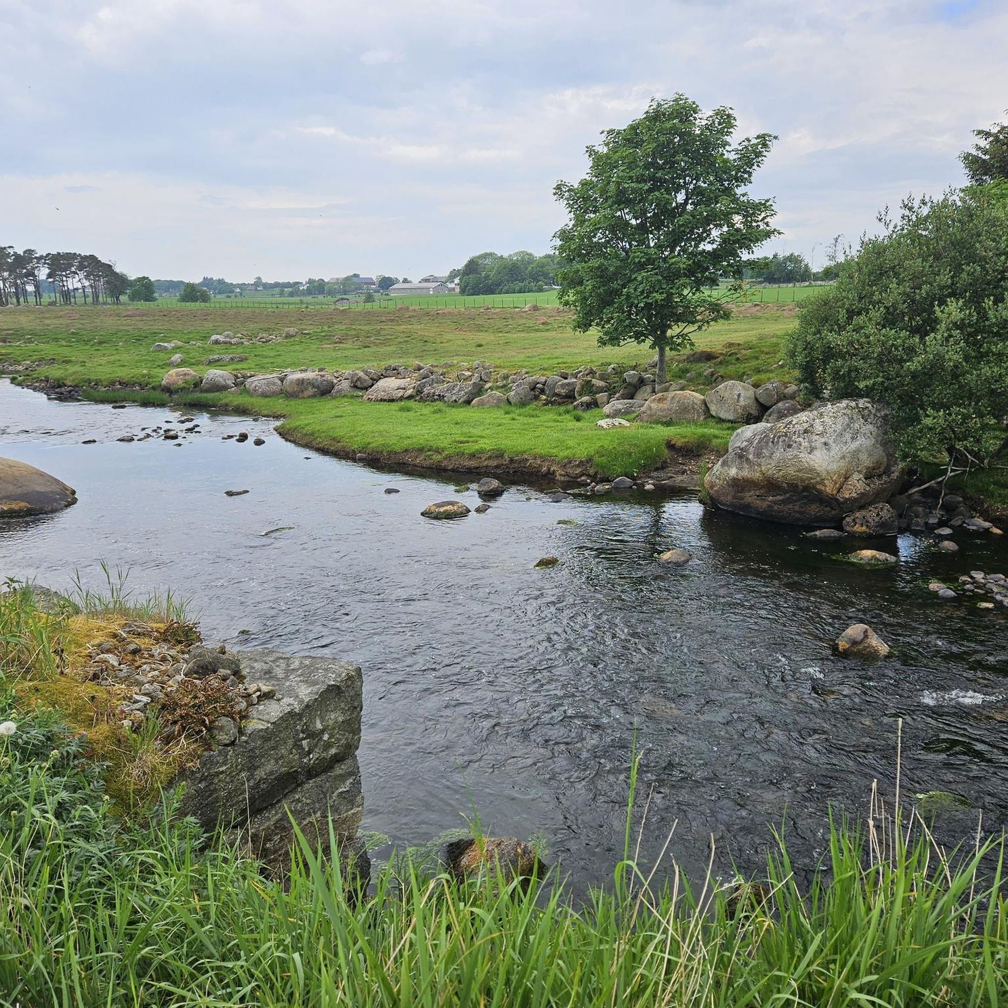
From the bridges spanning the Figgjo River, you often have a beautiful view of the interesting river landscape. Carpets of water lilies, green reeds and many other aquatic plants provide plenty of variety.
0
0

Stokkelandsvatnet is a lake located in Ganddal, Sandnes. The loop the water shore is about 4 kilometers long on a flat, well-maintained gravel path, making it perfect for walking, running, or cycling. The area is known for its rich birdlife, often visible from the trail. It connects seamlessly to the end of Sandvedparken, allowing you to extend your route from the city center.
0
0
Planetstien turns your hike through Sandvedparken into a journey through the solar system. Stretching along the Storåna river, this 1:1 billion scale model starts with the Sun near Sandnes center and ends with Pluto towards Ganddal. It is a flat, easy gravel path suitable for cycling and walking. As you travel the green corridor, you pass sculptures representing each planet at their relative distances.
0
0

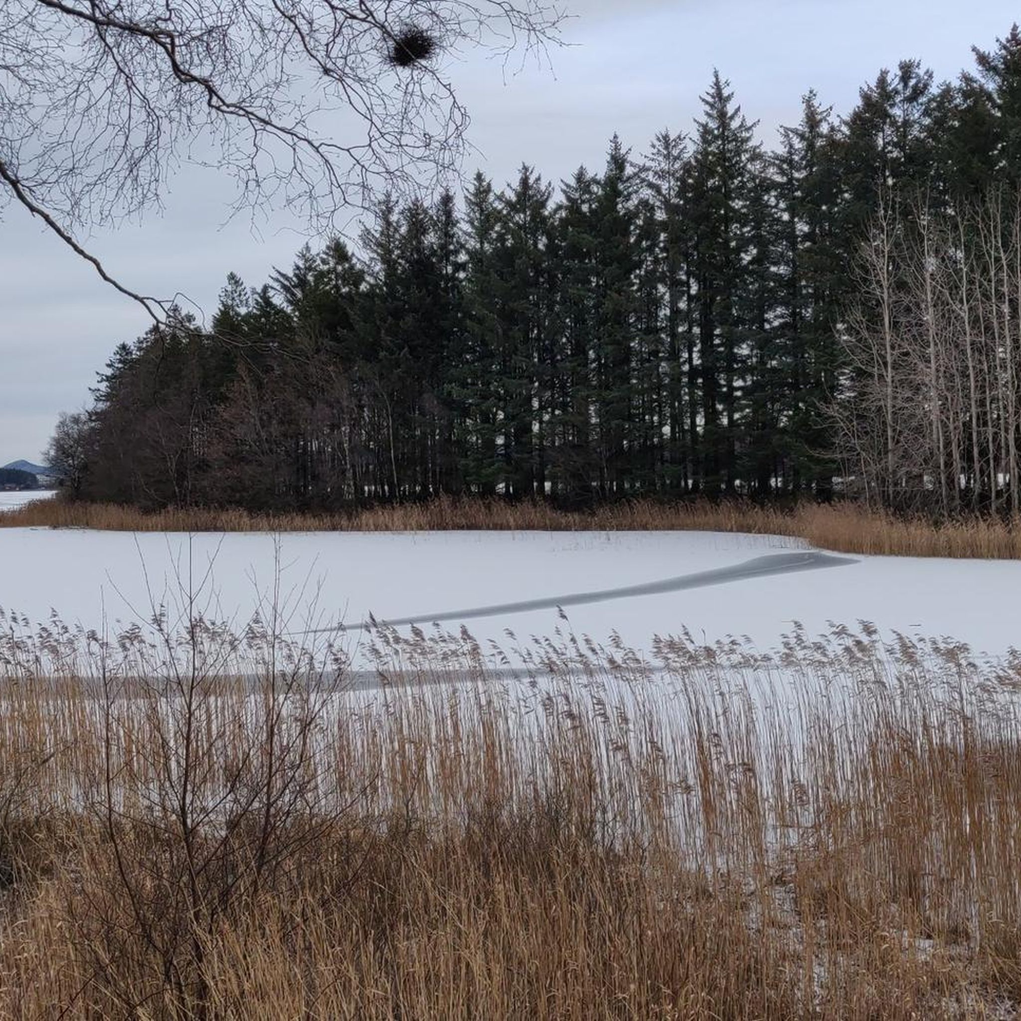
Here, you can take a break on a bench. Wander between the trees to admire the lake up close.
0
0

A perfect picnic spot by the lake where you can enjoy peaceful tranquility and natural beauty. The view is dominated by the calm, shimmering lake surface and framed by mature trees or gentle shoreline vegetation, creating a sheltered environment ideal for relaxation.
0
0
Ålgård is the largest town and administrative centre of Gjesdal municipality. Historically known for its wool and textile industry driven by the Figgjo River, it has evolved into a modern center that was once awarded Norway's prestigious National Prize for Architecture. Today, Ålgård is perhaps best known as the home of Kongeparken, the largest amusement park in Western Norway.
0
0
Here you will find a bench overlooking the river, ideal for a rest stop. At the edge of the terrace, you can see the fast-flowing waters of the Figgjo River, while all around, the trees are painted in the typical colors of the season; the paved path is comfortable for walking.
0
0

Frequently Asked Questions
What types of terrain can I expect on mountain bike trails around Frøylandsvannet?
The trails around Frøylandsvannet offer a diverse landscape, transitioning from the open grazing land characteristic of Jæren to dense spruce forests. You'll find a blend of terrain, including flat, well-maintained gravel paths, particularly around the lake's edge, and more challenging technical sections within the forests. The broader Jæren region is known for its expansive, flat agricultural landscape, providing a unique backdrop for your rides.
Are there mountain bike routes suitable for beginners or families with children?
Yes, there are options for all skill levels. The loop around Frøylandsvannet's edge is approximately 4 kilometers long, flat, and well-maintained, making it ideal for leisurely rides and families. For a slightly longer, easy route, consider the Tormodsteinen loop from Stangaland, which is 13.7 miles (22.1 km) with minimal elevation gain and suitable for any fitness level and skill.
What natural features or landmarks can I see while mountain biking around Frøylandsvannet?
The area offers several notable features. You can ride across the distinctive Midgardsormen Wooden Bridge, which winds across the lake. The trails also traverse the pleasant Njåskogen forest and pass by the Sandtangen recreational area, which is a wooded spot with picnic areas. Keep an eye out for the rich birdlife around the lake as well.
Are there any moderate mountain bike trails for riders with some experience?
Yes, for riders with good fitness and some advanced skills, the Nordavatnet – Stemmen loop from Sandnes sentrum is a moderate 27.9 miles (44.9 km) path. This trail involves varied terrain and requires a good level of fitness to complete.
What is the best time of year to go mountain biking in Frøylandsvannet?
The region is generally accessible for mountain biking throughout much of the year. However, spring, summer, and early autumn offer the most pleasant conditions with milder weather and longer daylight hours. During winter, trails might be affected by colder temperatures or precipitation, so checking local weather conditions is advisable.
Are dogs allowed on the mountain bike trails around Frøylandsvannet?
While the region is generally outdoor-friendly, specific regulations for dogs on mountain bike trails can vary. It's always best to keep dogs on a leash, especially in areas with livestock or protected wildlife, and to clean up after them. There are no explicit restrictions mentioned for dogs on the trails themselves, but always be mindful of other users and local signage.
Are there any challenging mountain bike routes for experienced riders?
Experienced riders looking for a significant challenge can tackle the Stokkalandsvatnet – Tronsberg loop from Skeiane. This difficult 28.5 miles (45.8 km) trail leads through diverse landscapes and presents significant challenges, potentially requiring pushing your bike on certain sections due to its technical nature.
How long do mountain bike trails typically take to complete in this area?
Trail durations vary significantly based on distance, difficulty, and your riding pace. Easy routes like the Tormodsteinen loop can take around 1 hour 13 minutes. Moderate trails, such as the Nordavatnet – Stemmen loop, might take up to 2 hours 50 minutes, while difficult routes like the Stokkalandsvatnet – Tronsberg loop can take around 3 hours 14 minutes or more.
Where can I find parking for mountain biking near Frøylandsvannet?
Parking is generally available at common starting points for trails or near recreational areas around the lake. For instance, if you're starting a loop from Stangaland or Sandnes sentrum, you'll typically find designated parking facilities. The Sandtangen recreational area near Bryne also offers parking options.
Are there any cafes or places to eat near the mountain bike trails?
The towns and communities surrounding Frøylandsvannet, such as Bryne and Kvernaland, offer various amenities including cafes and eateries where you can refuel after your ride. The Sandtangen recreational area also provides picnic spots if you prefer to bring your own food.
What makes the Jæren region unique for mountain biking?
The Jæren region, where Frøylandsvannet is located, is celebrated for its distinctive open, flat, and well-maintained agricultural landscape. This cultural landscape, shaped by centuries of farming, provides a serene yet expansive environment with high skies and wide horizons, offering a unique contrast to more mountainous biking regions. The extensive trail networks seamlessly integrate with this picturesque setting.
Most popular routes around Frøylandsvannet

Get inspired with the komoot mobile app


Explore more
Browse the best MTB trails in other regions.
