The best road cycling routes around Gjerdingen
4.3
(3)
39
riders
5
rides
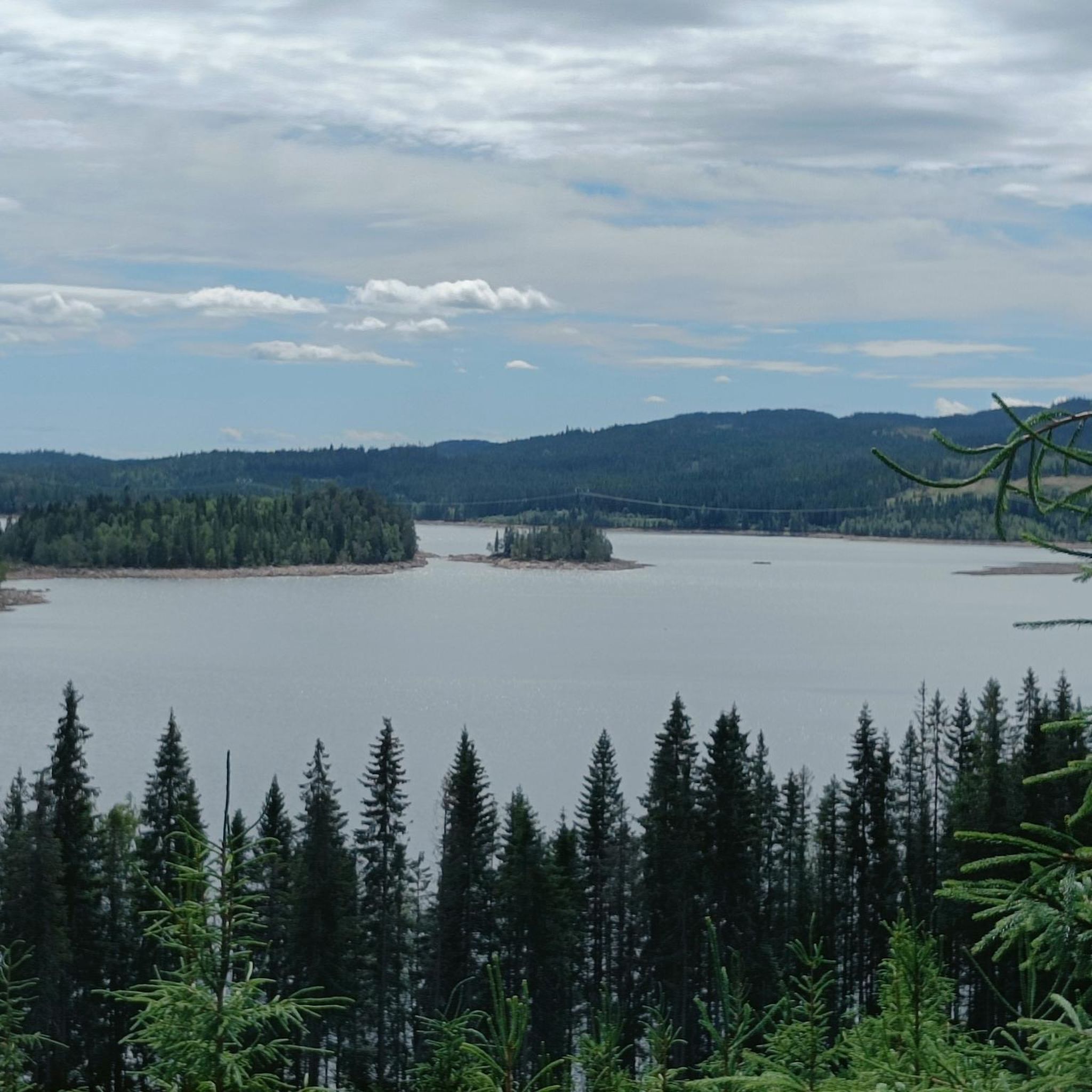
Road cycling around Gjerdingen, located in Oppland, Norway, features routes that navigate around prominent lakes such as Stortjernet and Kalvsjøtjernet. The terrain includes varied elevation gains, indicating a landscape of rolling hills and valleys suitable for road cyclists. This region offers a mix of moderate and challenging routes, providing diverse experiences for those exploring by bike.
Best road cycling routes around Gjerdingen
- The most popular road cycling route is Lunnerkollen – Velofoss loop from Nordstrand, a 24.2 miles (39.0 km) trail that takes 1 hour 59 minutes to complete. This route features an elevation gain of 2,118 feet (646 meters).
- Another top favourite among local road cyclists is Milsteinberget – Kjørvensæteråsen loop from Grua, a difficult 43.1 miles (69.3 km) path. This route presents a substantial climbing challenge with 3,716 feet (1,133 meters) of elevation gain.
- Local road cyclists also love the Kjørvensæteråsen – Milsteinberget loop from Harestua, a 25.0 miles (40.2 km) trail leading through varied terrain, often completed in about 2 hours 8 minutes.
- Road cycling around Gjerdingen is defined by its lakes, rolling hills, and varied elevation profiles. The network offers options for different ability levels, including moderate and difficult routes.
- The routes in Gjerdingen are highly rated by the komoot community with an average score of 5.0 stars from 1 review. More than 20 road cyclists have used komoot to explore Gjerdingen's varied terrain.
Last updated: July 10, 2026
5.0
(1)
3
riders
39.0km
01:59
650m
650m
Moderate road ride. Good fitness required. Some segments of this route may be unpaved and difficult to ride.
2
riders
69.3km
03:39
1,130m
1,130m
Hard road ride. Very good fitness required. Some segments of this route may be unpaved and difficult to ride.

Sign up for free
10
riders
83.9km
03:55
920m
920m
Hard road ride. Very good fitness required. Some segments of this route may be unpaved and difficult to ride.
7
riders
40.2km
02:08
640m
640m
Moderate road ride. Good fitness required. Some segments of this route may be unpaved and difficult to ride.
3
riders
75.9km
03:49
1,090m
1,090m
Hard road ride. Very good fitness required. Some segments of this route may be unpaved and difficult to ride.
Our route recommendations are based on thousands of hikes, rides, and runs completed by other people on komoot.
Start today with a free account
Your next adventure awaits.
Login or Signup
Tips from the Community

The two churches Although they stand side by side, they were built for different purposes and have different sizes: St. Nicholas Church (to the right in the picture) is the largest of the two. It is a three-aisled basilica built around 1150, with seating for around 250 people. It was originally built as a county church (main church) for Hadeland, and was dedicated to St. Nicholas — the patron saint of seafarers, travelers, and merchants. The church's towering spire has historically also served as an important landmark and defensive tower. St. Mary's Church (to the left in the picture) is the smallest. This is a smaller, single-aisled long church built around 1160, with seating for around 150 people. It was probably originally built as a local parish church or monastery church, and is dedicated to the Virgin Mary.
0
0

Fun gravel section downhill, but keep aware of traffic if need be :)
0
0


Frequently Asked Questions
What kind of terrain can I expect on road cycling routes around Gjerdingen?
The road cycling routes around Gjerdingen, situated in Oppland, Norway, feature a landscape of rolling hills and valleys. You'll encounter varied elevation gains, indicating a dynamic terrain suitable for road cyclists looking for both moderate and challenging experiences.
How many road cycling routes are available in the Gjerdingen area?
There are 5 distinct road cycling routes available around Gjerdingen, offering a range of distances and difficulty levels for cyclists to explore.
Are there routes suitable for beginners or those looking for an easier ride?
While there are no routes specifically graded as 'easy', there are three moderate routes available. For example, the Stortjernet – Kalvsjøtjernet loop from Ragnhildrud is a moderate 38.8 km ride with over 640 meters of elevation gain, offering a good challenge without being overly strenuous.
What are some of the more challenging road cycling routes around Gjerdingen?
For experienced cyclists seeking a challenge, two routes are graded as difficult. The Kalvsjøtjernet – Stortjernet loop from Grua is a substantial 68.2 km path with over 1080 meters of climbing, while the Sverigetjernet – Kjevlingen loop from Harestua covers 74.0 km with over 1020 meters of elevation gain.
Do the road cycling routes around Gjerdingen feature loop trails?
Yes, all the road cycling routes around Gjerdingen are designed as loop trails, allowing you to start and finish at the same point. Examples include the Kalvsjøtjernet – Stortjernet loop from Harestua and the Elgsjøen – Grønntjernet loop from Harestua.
What is the longest road cycling route in the Gjerdingen area?
The longest road cycling route available is the Kalvsjøtjernet – Stortjernet loop from Harestua, which spans 81.8 km and involves over 870 meters of elevation gain.
What is the shortest road cycling route around Gjerdingen?
The shortest road cycling route is the Stortjernet – Kalvsjøtjernet loop from Ragnhildrud, covering a distance of 38.8 km with approximately 640 meters of elevation gain.
What are the typical elevation gains on these routes?
The routes around Gjerdingen feature significant elevation gains, ranging from approximately 590 meters on the shorter routes to over 1080 meters on the more challenging ones, providing a good workout for cyclists.
What do other road cyclists think about the routes in Gjerdingen?
The road cycling routes in Gjerdingen are highly regarded by the komoot community, holding an average rating of 5.0 stars. Cyclists often appreciate the varied terrain and the scenic loops around the area's lakes.
Are there any specific natural features or landmarks along the routes?
The road cycling experience around Gjerdingen is characterized by its proximity to prominent lakes such as Stortjernet, Kalvsjøtjernet, Elgsjøen, Sverigetjernet, and Grønntjernet. Many routes, like the Stortjernet – Kalvsjøtjernet loop from Ragnhildrud, directly navigate around these bodies of water.
How many people have explored these routes using komoot?
Over 20 road cyclists have already used komoot to explore the varied terrain and routes available around Gjerdingen, indicating a growing interest in the area for cycling.
Most popular routes around Gjerdingen

Get inspired with the komoot mobile app


Explore more
Browse the best Road cycling routes in other regions.
