The best running trails around Grövelsjön
56
runners
9
runs
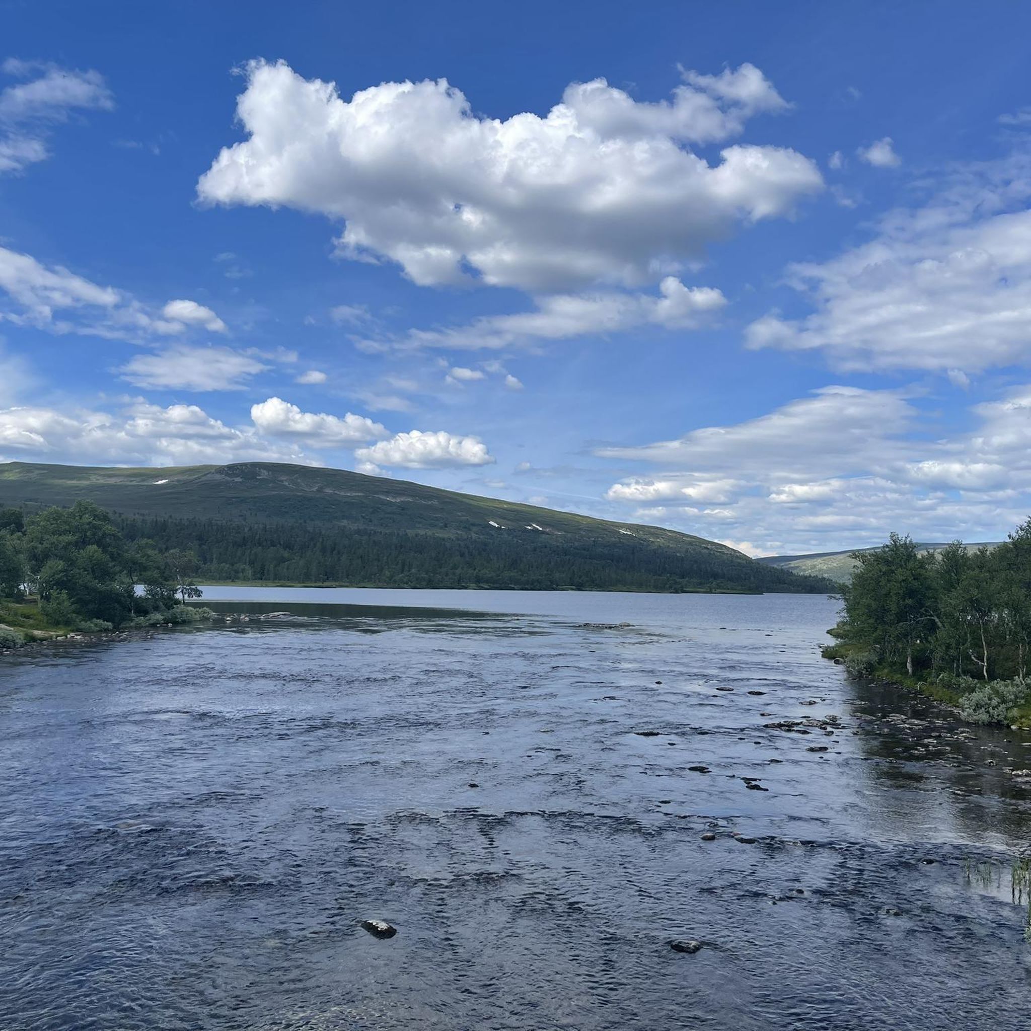
Jogging around Grövelsjön offers access to a mountain landscape in northern Dalarna, Sweden, characterized by its relatively high elevation and open terrain. The region features a diverse network of trails, ranging from paths through mountain forests to routes across bare mountain expanses. Geological formations from the inland ice sheet, including ridges and small lakes, contribute to the varied scenery. This environment provides immediate panoramic views, enhancing the running experience.
Best jogging routes around Grövelsjön
- The most popular jogging route is…
Last updated: June 27, 2026
18
runners
Hard run. Very good fitness required. Mostly paved surfaces. Suitable for all skill levels.
7
runners
Hard run. Good fitness required. Sure-footedness, sturdy shoes and alpine experience required.

Sign up for free
6
runners
Hard run. Good fitness required. Sure-footedness, sturdy shoes and alpine experience required.
4
runners
Hard run. Very good fitness required. Sure-footedness, sturdy shoes and alpine experience required.
6
runners
Hard run. Good fitness required. Sure-footedness, sturdy shoes and alpine experience required.
Get access to more routes and recommendations from other explorers.
Sign up for free
Already have an account?
Our route recommendations are based on thousands of hikes, rides, and runs completed by other people on komoot.
Start today with a free account
Your next adventure awaits.
Login or Signup
Popular around Grövelsjön
Tips from the Community

Beautiful 360 view over the northern part of Dalarna, Storvetteshågna with it's 1204 meters is the highest point in the south of Sweden.
0
0

Beginning and end point of the Grönna Bandet
2
0

Mini waterfall with bathing area in the beautiful mountains.
3
0

the cabin is small, barely room for two if they're not too big. Fire pit, dry toilet - the usual. And a nice bench close by.
0
0

Here the Southern Kungsleden has halftime. A large modern mountain station with food and equipment sales. Very good bus connections even to Stockholm in summer.
19
1

Good starting point for trekking tours
3
0

From here we started our 2-day hiking tour in the national park. On site you can find out more about the tour and buy/rent groceries or camping items. After the tour you can take a shower and relax.
5
1
Well signposted starting point for day and multi-day tours
4
0
Frequently Asked Questions
What kind of running trails can I expect in Grövelsjön?
Grövelsjön offers a diverse network of trails, predominantly characterized by mountain landscapes and open terrain, often above the tree line. While many routes are challenging, there are also paths through mountain forests. Out of the 11 routes listed in this guide, 10 are rated as difficult, with one moderate option like the Running loop from Lövåsgården.
Are there any easy or beginner-friendly running routes in Grövelsjön?
While many trails in Grövelsjön are rated as difficult due to the mountainous terrain, the region research mentions easier paths suitable for a more relaxed run. For instance, the approximately 6 km round trip to Silverfallet and Olåns Vindskydd is described as an easy hike offering beautiful views. This area is known for its varied terrain, so you can find options that suit different fitness levels, though most documented routes here are more demanding.
Can I find circular running routes in Grövelsjön?
Yes, Grövelsjön features several excellent loop trails. A popular and challenging option is the Grövelsjön Mountain Station – Storvätteshågna Summit loop, which is 17.6 km long and offers expansive mountain views. Another notable loop is the Grövelsjön Mountain Station – Jakobshöjden (1,103 m) loop, a 6 km path providing high-altitude vistas.
What are some scenic points or natural attractions to look out for on the running trails?
The Grövelsjön region is rich in natural beauty. You can expect immediate panoramic views due to the high elevation. Specific attractions include the stunning Silverfallet waterfall, mentioned as part of an easy hike. The landscape also features unique geological formations from the inland ice sheet, particularly evident in areas like the Rogen nature reserve to the northeast, with its long ridges and interconnected small lakes. The Grövelsjön Mountain Station – Grövelsjön Suspension Bridge loop offers varied mountain terrain and views of the lake.
Is Grövelsjön suitable for trail running with dogs?
Sweden's 'Allemansrätten' (freedom to roam) generally allows public access to nature. While dogs are welcome on trails, it's essential to keep them on a leash, especially in nature reserves and during certain times of the year to protect wildlife. Always check local regulations for specific areas or nature reserves you plan to visit. The varied terrain, from mountain forests to open expanses, provides a great environment for you and your canine companion, provided you adhere to responsible pet ownership guidelines.
What is the best time of year for jogging in Grövelsjön?
The best time for jogging in Grövelsjön is typically during the warmer months, from late spring to early autumn, when trails are clear of snow and the weather is milder. This allows access to the full network of mountain trails. During winter, the area transforms into a cross-country skiing paradise, but some trails might be suitable for winter running with appropriate gear, though conditions can be challenging.
Are there any facilities or services available near the running routes?
Yes, the STF Grövelsjön Mountain Station (Fjällstation) serves as an excellent base for outdoor enthusiasts. It provides amenities such as accommodation, a shop for equipment and food, and readily available hiking maps. It's a common starting point for many tours in the Swedish-Norwegian border area, including several running routes.
How can I get to the trailheads, and is parking available?
Many running routes in Grövelsjön start from the STF Grövelsjön Mountain Station, which is generally accessible by car and often has parking facilities. For specific routes, it's advisable to check the individual route details on komoot for precise starting points and parking information. Public transport options to Grövelsjön might be limited, so planning your journey in advance is recommended. For general travel information to the region, you can consult Visit Dalarna's Grövelsjön page.
What makes Grövelsjön a unique destination for trail running?
Grövelsjön stands out due to its immediate access to a magnificent mountain world, often above the tree line, offering panoramic views from the start of your run. Its unique geological formations, remnants of the inland ice sheet, add a distinct character to the landscape. The region is also recognized as an official Vasaloppet Centre for running, highlighting its suitability and infrastructure for the sport, and boasts an extensive network of trails for all levels.
Are there any long-distance running opportunities in Grövelsjön?
Yes, Grövelsjön is part of a larger trail network, including sections of the Southern Kungsleden, a renowned long-distance trail. This connects to the classic Vasaloppsleden further south, providing ample opportunities for extended runs and multi-day adventures for those looking for more demanding challenges beyond the local loops.
What should I wear for jogging in Grövelsjön, especially during autumn?
Given Grövelsjön's mountain environment, weather can change rapidly. Layering is key. For autumn, pack moisture-wicking base layers, an insulating mid-layer (fleece or light down), and a windproof and waterproof outer shell. Good trail running shoes with grip are essential. Always carry extra warm clothing, a hat, gloves, and navigation tools, even for shorter runs, as conditions can be unpredictable above the tree line.

Get inspired with the komoot mobile app


Explore more
Browse the best Running Trails & Routes in other regions.
