The best cycling routes around Norasundet
4.8
(5)
32
riders
6
rides
Touring cycling routes around Norasundet are situated within the Kramfors municipality, part of Sweden's High Coast region, a UNESCO World Heritage site known for its distinctive land uplift. The area features a varied terrain of forests, coastal stretches, and scenic country roads. Norasundet itself is a tranquil lake, and the surrounding landscape is characterized by 53% forest cover, offering diverse backdrops for cycling.
Best touring cycling routes around Norasundet
- The most popular touring cycling route is Nora Church loop from…
Last updated: June 27, 2026
5.0
(2)
11
riders
33.9km
02:08
400m
400m
Moderate bike ride. Good fitness required. Mostly paved surfaces. Suitable for all skill levels.
4.5
(2)
10
riders
42.6km
02:46
520m
520m
Hard bike ride. Very good fitness required. Mostly paved surfaces. Suitable for all skill levels.

Sign up for free
3
riders
15.7km
01:05
220m
220m
Moderate bike ride. Good fitness required. Mostly paved surfaces. Suitable for all skill levels.
5.0
(1)
3
riders
69.1km
04:23
810m
810m
Hard bike ride. Very good fitness required. Mostly paved surfaces. Suitable for all skill levels.
1
riders
57.6km
03:40
680m
680m
Hard bike ride. Very good fitness required. Mostly paved surfaces. Suitable for all skill levels.
Our route recommendations are based on thousands of hikes, rides, and runs completed by other people on komoot.
Start today with a free account
Your next adventure awaits.
Login or Signup
Popular around Norasundet
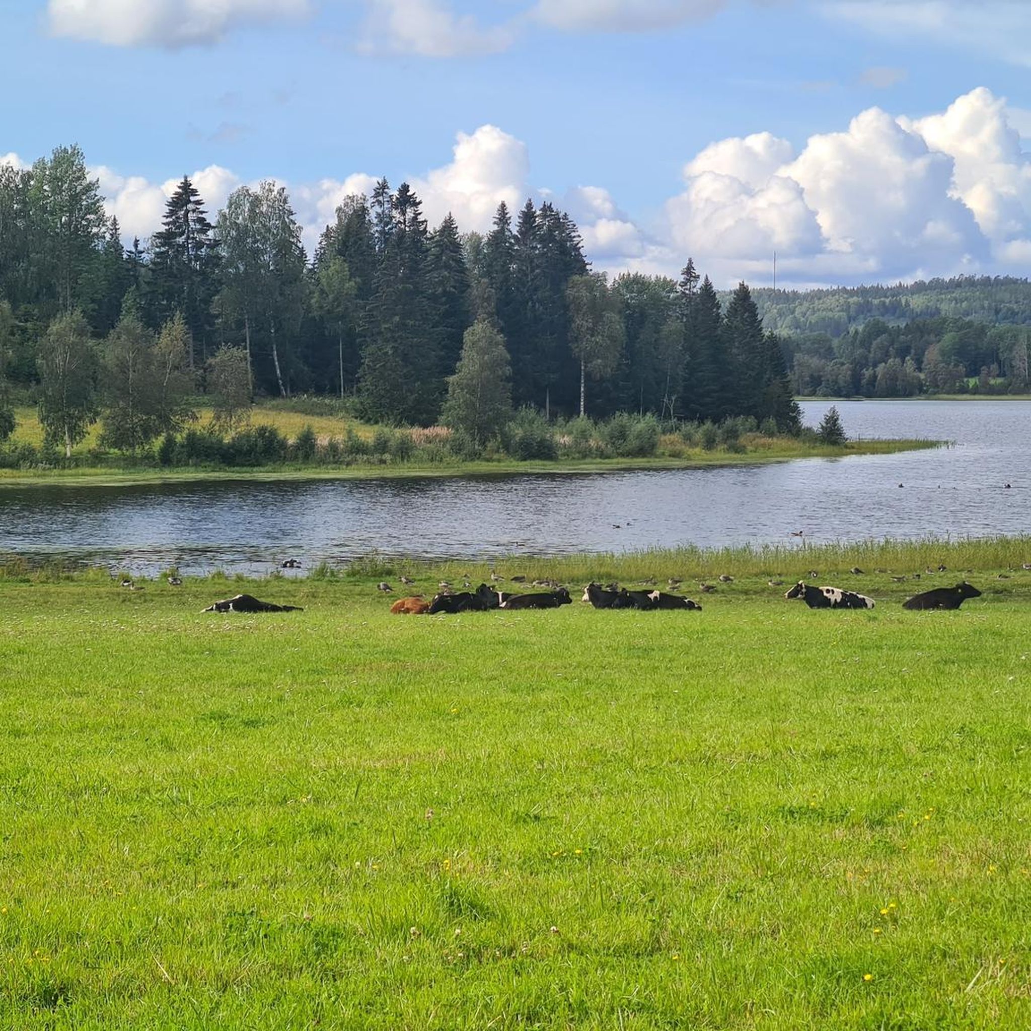
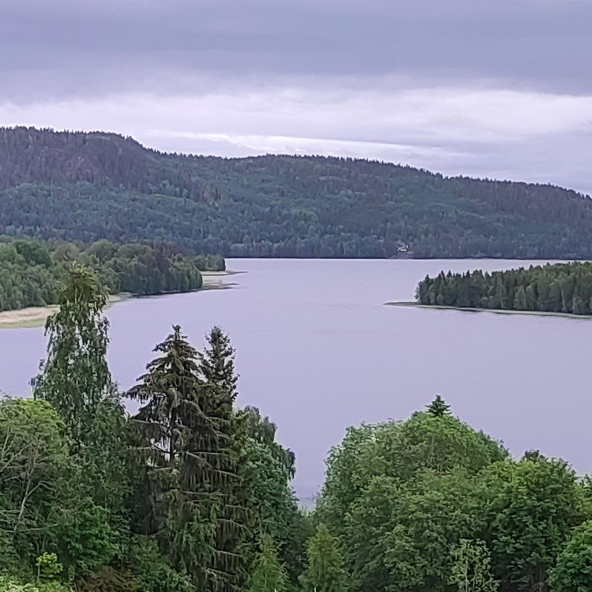
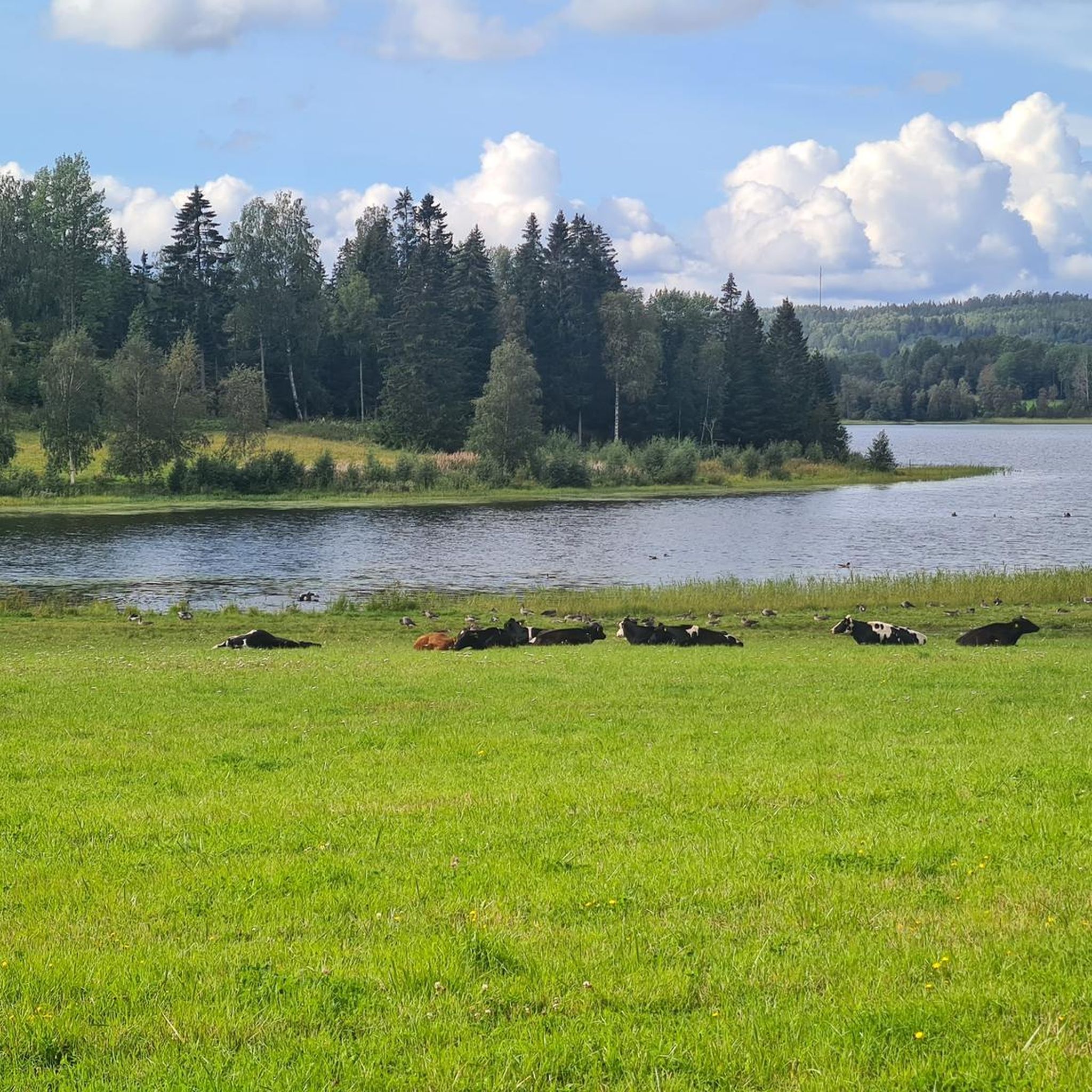
Tips from the Community

nice spot at the lake for a picnic break. there is even a supermarket nearby.
1
0
The Nora Church that you see here is already the third church on the same site. The current church was built in 1880 and has a neo-Romanesque style both inside and out.
0
0

Rest area on a quiet road with benches, tables, toilet, water tap and grassy area. I had a nice night here with the tent.
0
0
Quiet rest area with toilet (!) and picnic benches/tables as well as drinking water and plenty of space for tents on grassy area
0
0

A good rest-area on the side of the road with some covered picknick benches. We spent the night camping in the field next to it.
0
1

Parking lot - From here you can easily climb to Valkallen.
1
0

Rest area with picnic tables, information center and toilets.
1
0

The jetty is a bit crooked and there are a lot of mosquitoes. No shelter but there is a fire pit
2
0
Frequently Asked Questions
What kind of terrain can I expect on touring cycling routes around Norasundet?
The Norasundet area, part of the High Coast region, offers a varied terrain shaped by ongoing land uplift. You'll find scenic country roads winding through dense forests, alongside coastal stretches, and over undulating landscapes. Approximately 53% of the surrounding area is forest, providing a diverse backdrop for your rides.
Are there touring cycling routes suitable for beginners or those looking for an easier ride?
Yes, there are moderate routes available. For example, the Nora Church loop from Nora-Skogs församling is a moderate 21.0-mile (33.9 km) route, and the Nordingrå Rest Area loop from Nordingrå is a shorter, moderate 9.7-mile (15.6 km) trail that leads through forested areas.
What are the more challenging touring cycling routes in the Norasundet area?
For experienced touring cyclists seeking a challenge, routes like the Nora Church loop from Bråtan offer a difficult 26.5-mile (42.6 km) path with significant elevation gain. Another demanding option is the Nordingrå Rest Area – Nora Church loop from Salsåker, which spans 69.1 km with substantial climbs.
Are there any long-distance touring cycling routes that pass through or near Norasundet?
Yes, the region is part of a larger cycling network. The High Coast Cycle Route 15 Loop is a notable option, covering approximately 57.6 km and connecting areas like Ullånger to Nora, the parish where Norasundet is located. This route offers a comprehensive experience of the High Coast landscape.
What do other touring cyclists say about the routes around Norasundet?
The touring cycling routes around Norasundet are highly rated by the komoot community, with an average score of 4.8 stars from more than 4 reviews. Cyclists often praise the unique High Coast landscape, the dense forests, and the scenic country roads that define the area.
Can I find circular touring cycling routes in Norasundet?
Yes, many of the touring cycling routes in the area are designed as loops. Examples include the Nora Church loop from Nora-Skogs församling, the Nora Church loop from Bråtan, and the Nordingrå Rest Area loop from Nordingrå, all offering convenient circular journeys.
What natural features or landmarks can I expect to see while cycling around Norasundet?
While cycling, you'll experience the dramatic High Coast landscape, characterized by its unique geological formations. The routes often pass through extensive forests, offering tranquil views, and occasionally provide glimpses of coastal stretches. Norasundet itself is a serene lake, and the surrounding Kramfors municipality is known for its natural beauty.
Is Norasundet suitable for family-friendly touring cycling?
The region offers routes of varying difficulty. While some routes are challenging, the moderate options, such as the Nordingrå Rest Area loop from Nordingrå, could be suitable for families with some cycling experience, especially if they are comfortable with varied terrain and some elevation changes. Always check the route details for distance and elevation to ensure it matches your family's ability.
Are there any specific viewpoints or scenic spots along the touring cycling routes?
The entire High Coast region is renowned for its breathtaking views due to the land uplift. While specific named viewpoints aren't detailed for every route, the country roads winding through forests and along coastal areas inherently offer numerous scenic spots to enjoy the unique natural beauty of the area.
What is the best time of year for touring cycling in Norasundet?
The warmer months, typically late spring through early autumn, are generally the most pleasant for touring cycling in the High Coast region. During this time, the weather is more stable, and the natural landscape is in full bloom, offering the best conditions to enjoy the scenic country roads and forests.
Are there opportunities for other outdoor activities near the cycling routes?
Absolutely. Beyond cycling, the Kramfors municipality, where Norasundet is located, offers extensive hiking trails through forests and mountains. Fishing is popular in the many lakes and seas, including Norasundet itself. There are also numerous spots for swimming, such as Storsand's sea bath, perfect for a refreshing break.
How many touring cycling routes are available in the Norasundet area?
There are 6 touring cycling routes detailed for the Norasundet area, offering a range of distances and difficulties to explore the unique High Coast landscape.

Get inspired with the komoot mobile app


Explore more
Browse the best Cycling routes in other regions.
