The best cycling routes around Kirchlengern
4.5
(487)
2,350
riders
117
rides
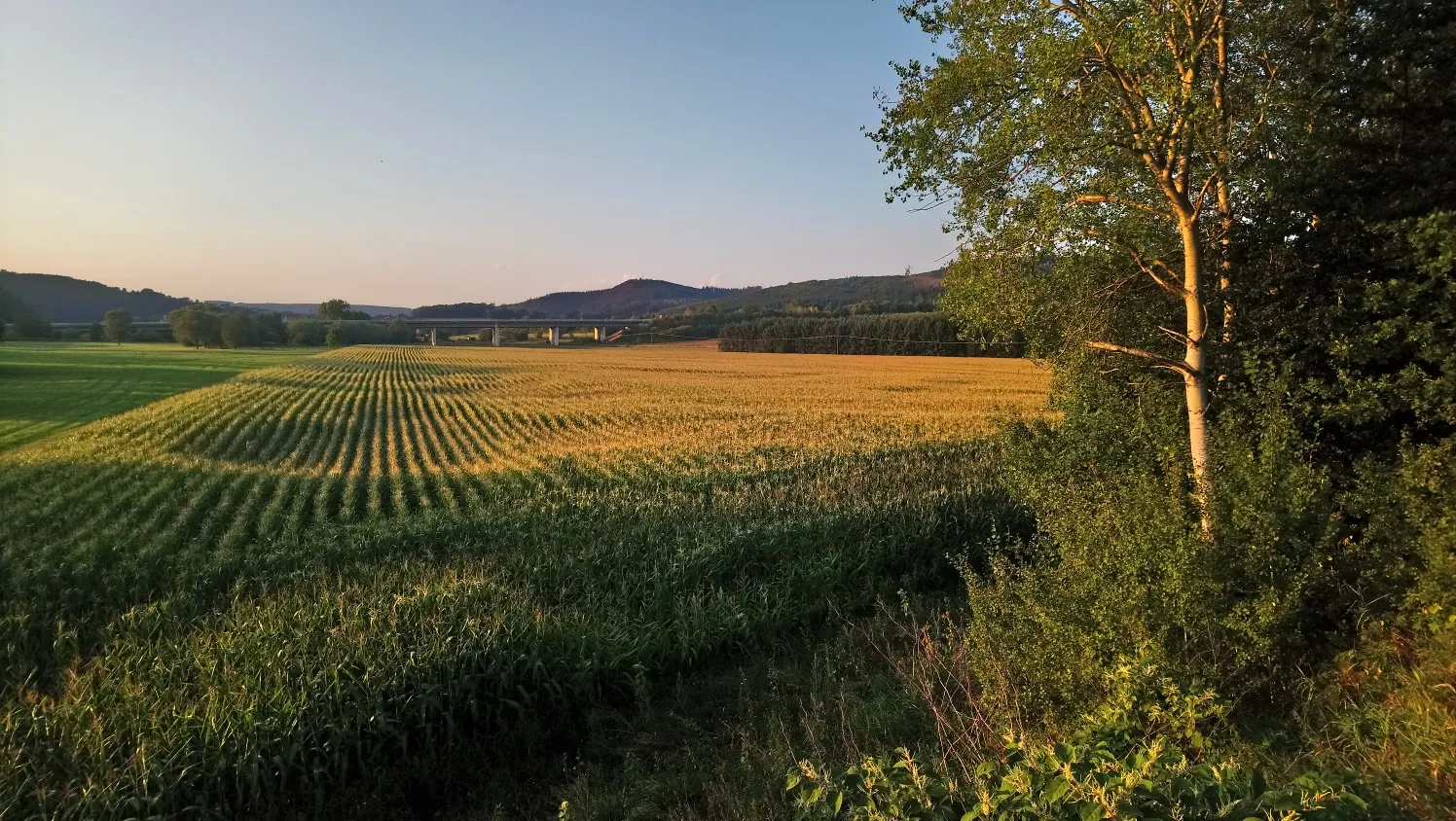
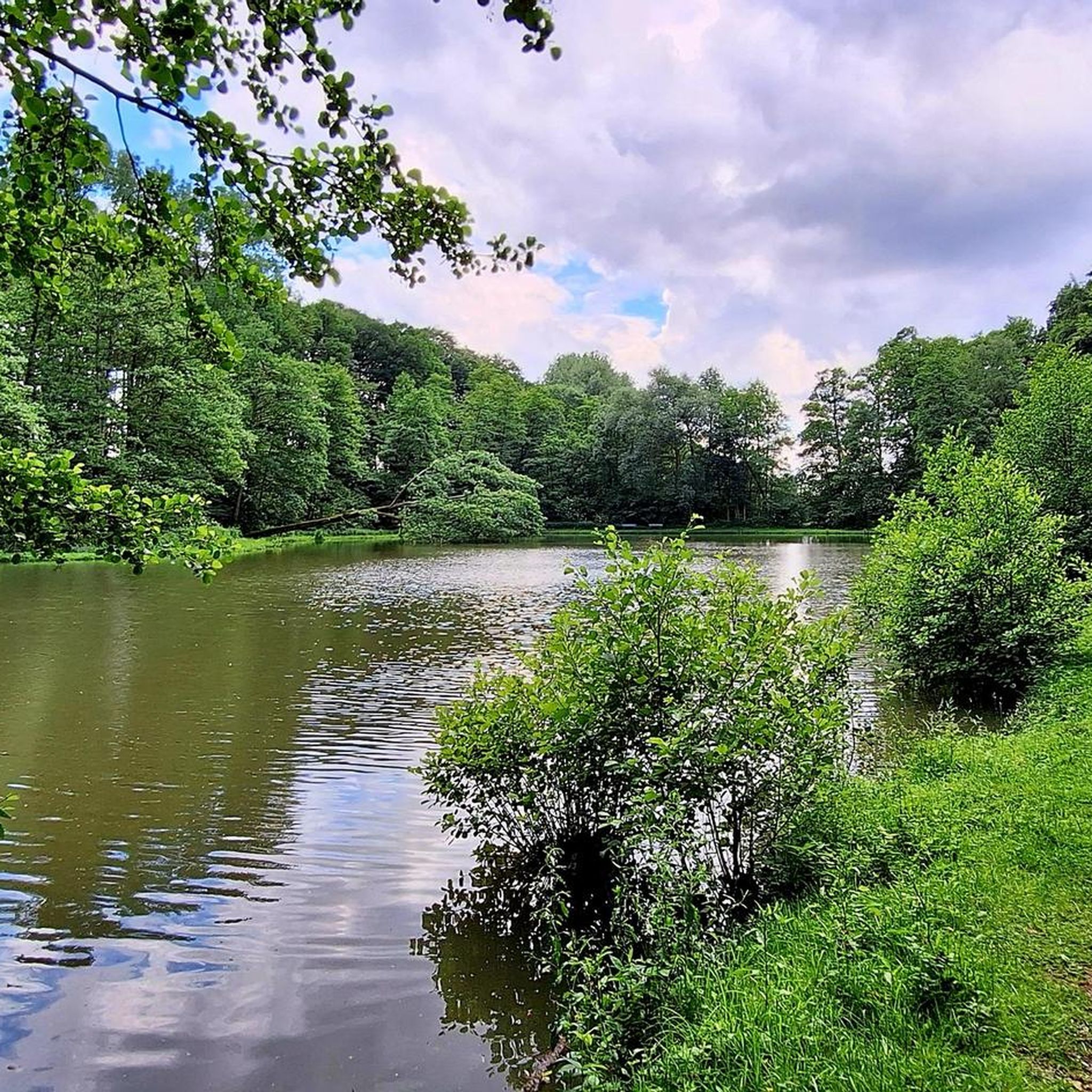
Touring cycling routes around Kirchlengern traverse a varied landscape situated between the wooded hills of the Wiehengebirge and the green fields of the Ravensberger Mulde. The region features gentle hills, idyllic valleys, and the romantic Else valley with its river. Cyclists can explore well-maintained paths through forests and past lakes, offering diverse terrain for different preferences.
Best touring cycling routes around Kirchlengern
- The most popular touring cycling route is Oak Avenue on the Elsedamm – Elseaue Riverside Path loop from…
Last updated: October 7, 2026
4.6
(24)
101
riders
Hard bike ride. Very good fitness required. Mostly paved surfaces. Suitable for all skill levels.
4.9
(14)
42
riders
26.9km
01:41
210m
210m
Moderate bike ride. Good fitness required. Mostly paved surfaces. Suitable for all skill levels.

4.7
(26)
138
riders
30.7km
01:53
170m
170m
Moderate bike ride. Good fitness required. Mostly paved surfaces. Suitable for all skill levels.
4.7
(12)
62
riders
30.9km
01:52
150m
150m
Easy bike ride. Great for any fitness level. Mostly paved surfaces. Suitable for all skill levels.
4.7
(9)
140
riders
Easy bike ride. Great for any fitness level. Mostly paved surfaces. Suitable for all skill levels.
Get access to more routes and recommendations from other explorers.
Already have an account?
Our route recommendations are based on thousands of hikes, rides, and runs completed by other people on komoot.
Start today with a free account
Your next adventure awaits.
Other adventures around Kirchlengern

Tips from the Community

A very beautiful avenue with old trees, the castle is also worth seeing.
0
0

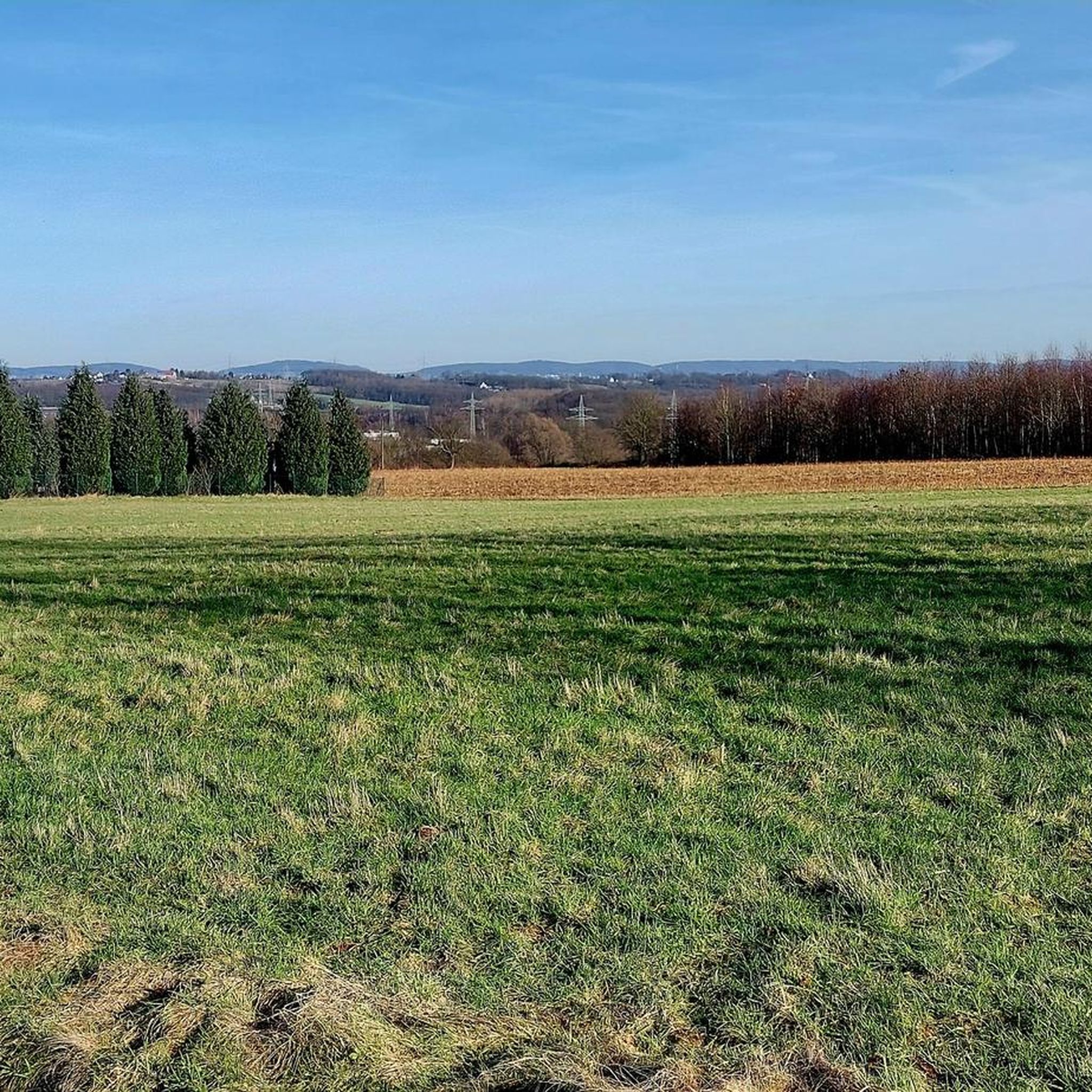
The wide view all around is wonderful here.🍀😊👍 When you ride downhill here, you can enjoy it completely relaxed. 🚴♂️🚴🚴♀️
0
0

Unfortunately, unfortunately the building was destroyed by a fire. Currently, "die Knolle" no longer exists in Bünde. As of 7/26
1
0

A sunset on the Else Cycle Path is a beautiful sight. You have a wonderful view of the setting sun.
0
0
Located on the Spatzenberg (also called Löhner Berg), below the memorial cross, directly on the cycling and hiking path, is a marl pit, also known as the Grumkuhle (Grum Pit) to the long-established Falscheiders. The marl (Grum) mined here until the mid-20th century served as reinforcement material for agricultural paths, farms, and squares. In the late 1950s and early 1960s, this was a festival site. Today, it is a rest area for cyclists and hikers familiar with the area. You can take a relatively comfortable break on the large, semicircular stone blocks or on a bench nearby. An information board provides interesting facts about the Spatzenberg, its history, and its natural environment. The Spatzenberg, which was predominantly used for agriculture until the mid-20th century, is now half-forested again and a popular local recreation area.
2
0
You can enjoy cycling around Spatzenberg on well-maintained, car-free paths. However, there's no view from the top because the summit area is densely forested.
2
0

The title of the highlight is wrong!🙈 This is obviously about the cycle path to the left of the Werre River in the Löhne area (between the Schützenbrücke weir/Ristorante "Brückenhaus" to the west and the Kronprinzenbrücke/Lübbecker Straße to the east; opposite, on the right bank of the Werre, is the new Werreauen Park below the Werretalhalle). As is well known, the Sielpark is not in Löhne, but in Bad Oeynhausen, east of the Sielwehrbrücke. Separate highlights already exist, to which the images and information can be assigned separately. Please correct! Thank you.😊
1
0
Frequently Asked Questions
How many touring cycling routes are available in Kirchlengern?
There are over 100 touring cycling routes around Kirchlengern, offering a wide range of options for different skill levels. You'll find everything from easy, relaxed rides to more challenging tours with significant elevation gains.
What kind of terrain can I expect on touring cycling routes in Kirchlengern?
The routes around Kirchlengern feature a diverse landscape, from the wooded hills of the Wiehengebirge to the green fields of the Ravensberger Mulde. You'll encounter gentle hills, idyllic valleys, and paths along rivers like the Else and Werre. The terrain includes a mix of paved roads with little traffic, independent cycle paths, and sometimes gravel or grass paths.
Are there any easy touring cycling routes suitable for beginners or families?
Yes, Kirchlengern offers many easy routes. For a relaxed ride, consider the Oak Avenue on the Elsedamm – Elseaue Riverside Path loop from Kirchlengern, which is an easy 32.8 km (20.4 miles) loop. Another great option is the Else Riverside Path, Bünde – Elseaue Riverside Path loop from Kirchlengern, a shorter 9.6 km (6 miles) easy route perfect for a quick outing.
What are some notable landmarks or attractions I can see along the cycling routes?
Many routes pass by interesting historical and natural sights. You can explore historic mills like the Königsmühle or Bierenmühle along the Else. The region also features impressive castles such as Benkhausen Castle and Ulenburg Castle. For a unique historical experience, the Wallücke Railway Route retraces the path of a former railway, and the Monument Route highlights landmarks like old station buildings and estates.
Are there any circular touring cycling routes in Kirchlengern?
Absolutely. Many routes are designed as loops, allowing you to start and end in the same location. A popular moderate circular route is the Else loop near Kirchlengern – Protestant Church Hagedorn loop from Kirchlengern, covering 26.9 km (16.7 miles) and exploring the Else river area.
What is the best time of year for touring cycling in Kirchlengern?
The best seasons for cycling in Kirchlengern are spring and summer. During these months, the natural surroundings are in full bloom, offering pleasant conditions and often shady forest sections for cooling. The weather is generally mild and conducive to outdoor activities.
Are there any routes that follow rivers or offer riverside scenery?
Yes, the Else and Werre rivers are central to many cycling experiences here. The Else Cycle Path runs directly through the municipality, offering relaxed tours along the river. You can also find routes like the Löhne Community Forest – Werre River near Löhne loop from Kirchlengern, which takes you along the Werre River, often with views of canoeists and picnickers.
What do other touring cyclists say about the routes in Kirchlengern?
The touring cycling routes in Kirchlengern are highly regarded by the komoot community, with an average score of 4.5 stars from over 400 reviews. Cyclists often praise the varied terrain, the well-maintained paths, and the beautiful natural scenery, especially along the river valleys and through the wooded hills.
Are there challenging routes for experienced touring cyclists?
Yes, for those seeking a challenge, the region offers routes with significant elevation gains, particularly towards the Wiehengebirge mountains. The ascent to the Reesberg summit, for instance, provides a good workout. The Oak Avenue on the Elsedamm – Elseaue Riverside Path loop from Kirchlengern is a difficult 89.5 km (55.6 miles) route that offers an extensive and demanding ride.
Where can I find places to rest or eat along the routes?
While specific cafes and pubs are not listed for every route, the region around Kirchlengern is well-developed. You'll find opportunities for refreshment in the towns and villages along the main cycling paths, especially in Kirchlengern itself and nearby communities. Many routes pass through areas with local amenities.
Is there public transport access to the cycling routes in Kirchlengern?
Kirchlengern is located in North Rhine-Westphalia and is generally accessible by public transport. You can reach the town by train, and local bus services connect various parts of the municipality, potentially allowing access to different starting points for your cycling tours. It's advisable to check local transport schedules for specific routes and bike carriage policies.
Most popular routes around Kirchlengern
Most popular attractions around Kirchlengern

Get inspired with the komoot mobile app


Explore more
Browse the best Cycling routes in other regions.
