The best walks and hikes around Kirchlauter
4.6
(4942)
18,519
hikers
47
hikes
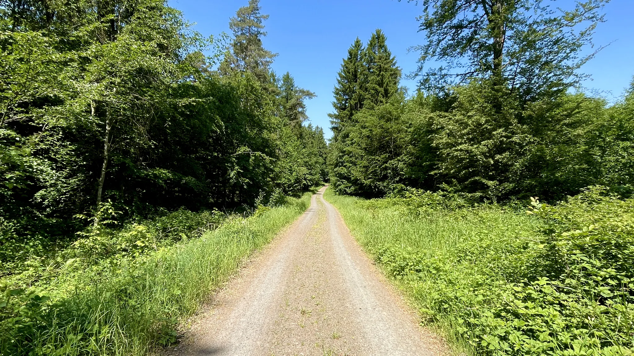
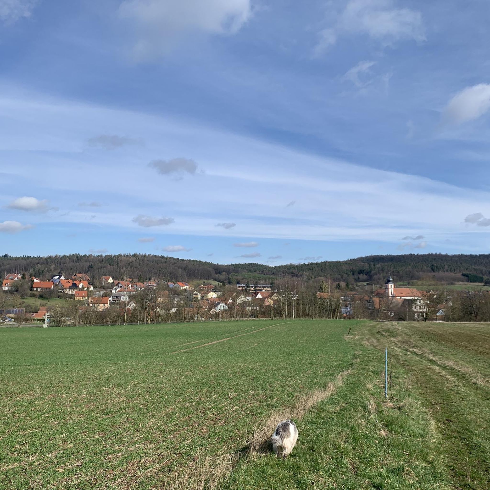
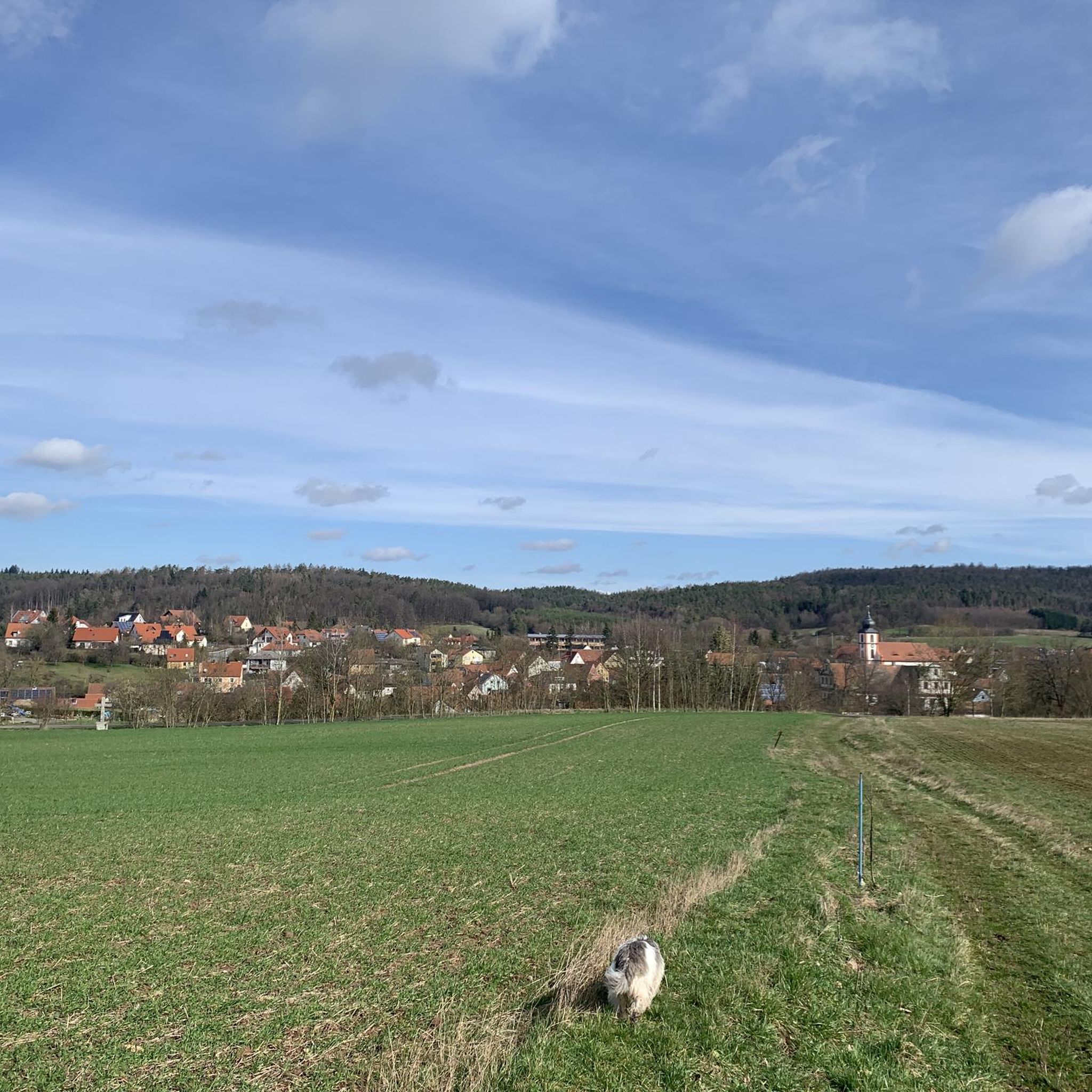
Hiking around Kirchlauter offers diverse landscapes within the Haßberge mountains, characterized by rolling hills and gentle slopes that descend towards the Main Valley. The region features numerous flowering meadows, traditional orchards, and dense forests, providing varied terrain for outdoor activities. Hikers will encounter an ecologically rich environment with juniper heaths, meandering streams, and rocky formations, creating a dynamic backdrop for exploration. The area's elevation changes are moderate, making it accessible for various fitness levels.
Best hiking trails around Kirchlauter
- The most popular hiking route is Village Well in Neubrunn – View of Kirchlauter loop from Kirchlauter, a 5.1 miles (8.3 km) trail that takes 2 hours 16 minutes to complete. This route offers views of Kirchlauter through the surrounding rolling hills.
- Another top favourite among local hikers is Breitbrunn Way of the Cross – View of Breitbrunn loop from Kirchlauter, a moderate 9.2 miles (14.8 km) path. This trail provides expansive views of Breitbrunn, often following historical paths.
- Local hikers also love the Village Pond, Pettstadt – Andres Manor loop from Neubrunn, a 4.4 miles (7.1 km) trail leading through village areas and past a pond, often completed in about 1 hour 57 minutes.
- Hiking around Kirchlauter is defined by rolling hills, flowering meadows, and dense woodlands. The network offers options for different ability levels, from easy paths to more challenging routes.
- The routes in Kirchlauter are highly rated by the komoot community with an average score of 4.7 stars from over 70 reviews. More than 300 hikers have used komoot to explore Kirchlauter's varied terrain.
Last updated: June 27, 2026
4.8
(13)
32
hikers
8.09km
02:13
130m
130m
Moderate hike. Good fitness required. Easily-accessible paths. Suitable for all skill levels.
5.0
(5)
18
hikers
7.11km
01:57
120m
110m
Easy hike. Great for any fitness level. Easily-accessible paths. Suitable for all skill levels.

Sign up for free
4.4
(10)
22
hikers
15.8km
04:26
320m
320m
Moderate hike. Good fitness required. Easily-accessible paths. Suitable for all skill levels.
4.8
(13)
37
hikers
8.27km
02:16
130m
130m
Moderate hike. Good fitness required. Easily-accessible paths. Suitable for all skill levels.
4.8
(5)
15
hikers
Moderate hike. Good fitness required. Easily-accessible paths. Suitable for all skill levels.
Get access to more routes and recommendations from other explorers.
Sign up for free
Already have an account?
Our route recommendations are based on thousands of hikes, rides, and runs completed by other people on komoot.
Start today with a free account
Your next adventure awaits.
Login or Signup

Other adventures around Kirchlauter

Tips from the Community

In the Haßberge, the area around Neubrunn is a popular hiking region. This hut serves hikers on the Genusserlebnisweg (Enjoyment Experience Trail) of the municipality of Kirchlauter or the Kreuzwanderweg Breitbrunn as a resting place. It offers shelter in bad weather and is an ideal spot to enjoy the hilly landscape of the Haßberge.
2
0
The open-air altar with a wooden cross is located above Breitbrunn on one of the most beautiful vantage points in the region, directly at the transition to the Rennweg. The altar is located on a hill northwest of the village. It is embedded in a group of trees, which is often perceived as a natural church roof. The altar itself is simply made of stone and is surmounted by a large, striking wooden cross. It serves as a place of rest and reflection for hikers and cyclists. The place is regularly used for open-air services, such as on Ascension Day.
3
0

It looks very dated and needs a bit of a facelift. The lake is smaller than it appears in photos.
1
0

From 2025 there will also be a forest box with refreshments
0
0

Deceptively real-looking wild cats, along the path
1
0

Kirchlauter Castle, also known as the Guttenberg Water Castle, is the center of the village of Kirchlauter (administrative community of Ebelsbach) in the Haßberge district of Lower Franconia. The angular Baroque complex is in good condition and is inhabited. Source: https://de.wikipedia.org/wiki/Schloss_Kirchlauter
8
0
The Roman Catholic, listed parish church of the Assumption of Mary is located in Kirchlauter, a municipality in the Haßberge district (Lower Franconia, Bavaria). The Baroque church was consecrated in 1759. The parish belongs to the parish community of Maintal – Heilige Länder (Kirchlauter) in the Haßberge deanery of the Diocese of Würzburg. Source: https://de.wikipedia.org/wiki/Mari%C3%A4_Himmelfahrt_(Kirchlauter)
9
0

Super cool for climbing around and taking a break on the rock at the top.
2
0
Frequently Asked Questions
How many hiking trails are available around Kirchlauter?
There are nearly 50 hiking trails around Kirchlauter, offering a variety of experiences. You'll find approximately 27 easy routes and 21 moderate trails, catering to different fitness levels.
What kind of landscapes can I expect to see while hiking in Kirchlauter?
The region around Kirchlauter is characterized by the gentle slopes of the Haßberge mountains, descending towards the Main Valley. You'll encounter picturesque flowering meadows, traditional orchards, dense forests, and ecologically rich environments with juniper heaths and meandering streams. Many trails offer views of the Franconian wine country.
Are there any family-friendly hiking options in Kirchlauter?
Yes, Kirchlauter offers specific hiking routes designed for families with children. These trails provide opportunities for young adventurers to playfully discover nature, such as the Naturgenuss-Erlebnis-Lehrpfad at Altlautersee, which includes playful elements. An easy option is the Village Pond, Pettstadt – Andres Manor loop from Neubrunn, which is 7.1 km long.
Can I hike with my dog in Kirchlauter?
Kirchlauter is generally dog-friendly, with many trails suitable for hiking with your canine companion. While specific leash requirements can vary, it's always recommended to keep your dog on a leash, especially in nature protection areas or when encountering wildlife and other hikers. There are no specific restrictions mentioned for dogs on the trails themselves.
What are some notable natural features or attractions to look out for on the trails?
Hikers can explore diverse natural features like the idyllic Altlautersee, which has a nature and enjoyment educational path focused on traditional orchards. You might also encounter rocky formations and juniper heaths. For specific points of interest, consider visiting the Hollow Rock or the Veitenstein Rock Formation.
Are there any long-distance hiking trails that pass through Kirchlauter?
Yes, the well-marked Main-Danube Trail, a long-distance hiking trail spanning over 200 kilometers, passes through the region. It offers expansive views of the Franconian wine country and connects to historic towns like Bamberg, providing opportunities for extended hikes.
When is the best time of year to go hiking in Kirchlauter?
The best seasons for hiking in Kirchlauter are spring, when the meadows are in full bloom, and autumn, when the foliage transforms into warm red and golden tones. These periods offer pleasant temperatures and beautiful scenery for outdoor exploration.
Are there circular hiking routes available in Kirchlauter?
Yes, many routes in Kirchlauter are designed as circular walks, allowing you to start and end at the same point. An example is the View of Kirchlauter – Nature Enjoyment Trail loop from Kirchlauter, which is about 9.8 km long and takes you through varied landscapes.
What do other hikers enjoy most about hiking in Kirchlauter?
The area is highly rated by the komoot community, with an average score of 4.7 stars from over 70 reviews. Hikers often praise the diverse landscapes, including rolling hills, flowering meadows, and dense woodlands, as well as the well-maintained paths suitable for various ability levels.
How can I get to the hiking trailheads in Kirchlauter, and is parking available?
While specific public transport routes to individual trailheads can vary, Kirchlauter is generally accessible. Parking is typically available near popular starting points for hikes. For detailed information on public transport and parking options, it's advisable to check local resources or the specific tour details on komoot.
Are there any historical sites or castles near the hiking trails?
Beyond the natural paths, hikers can visit nearby historic towns like Bamberg, Schloss Eyrichshof, and Königsberg Castle. While not directly on every trail, these cultural sites can enrich your outdoor adventure. For a specific highlight, the Raueneck Castle Ruins are also in the vicinity.
Are there any challenging hikes for experienced hikers?
While Kirchlauter primarily offers easy to moderate trails, some routes, like the Weißfichtensee Recreation Area – Hollow Rock loop from Kirchlauter, are longer and feature more elevation gain, providing a good workout. The region's terrain, characterized by rolling hills, offers varied inclines without reaching alpine difficulty.
Most popular routes around Kirchlauter
Most popular attractions around Kirchlauter

Get inspired with the komoot mobile app


Explore more
Browse the best Hikes in other regions.
