Easy hikes and walks around Lange Rhön
4.6
(30234)
106,926
hikers
47
hikes
Hiking around Lange Rhön, a UNESCO Biosphere Reserve, offers a diverse landscape shaped by ancient volcanic activity. The region features treeless heights providing panoramic vistas, alongside significant moorlands like the Schwarzes Moor. Hikers can explore a mix of open distances, green mountain meadows, and basalt rock formations. These easy hiking trails provide accessible routes through varied ecosystems.
Best easy hiking trails around Lange Rhön
- The most popular easy hiking route is Heidelstein summit – View of Schornhecke loop from Kesselrain…
Last updated: July 5, 2026
4.8
(20)
76
hikers
4.15km
01:11
100m
100m
Easy hike. Great for any fitness level. Easily-accessible paths. Suitable for all skill levels.
4.5
(16)
36
hikers
7.25km
01:58
100m
100m
Easy hike. Great for any fitness level. Easily-accessible paths. Suitable for all skill levels.

Sign up for free
4.1
(7)
49
hikers
Easy hike. Great for any fitness level. Easily-accessible paths. Suitable for all skill levels.
4.7
(12)
62
hikers
Easy hike. Great for any fitness level. Easily-accessible paths. Suitable for all skill levels.
4.7
(14)
27
hikers
Easy hike. Great for any fitness level. Easily-accessible paths. Suitable for all skill levels.
Get access to more routes and recommendations from other explorers.
Sign up for free
Already have an account?
Our route recommendations are based on thousands of hikes, rides, and runs completed by other people on komoot.
Start today with a free account
Your next adventure awaits.
Login or Signup




Other adventures around Lange Rhön


Tips from the Community

Very nice view after the climb
0
0

From here you can see the Ulster Valley all the way down to Wüstensachsen.
0
0

These aren't pets. Be careful with young calves.
0
0

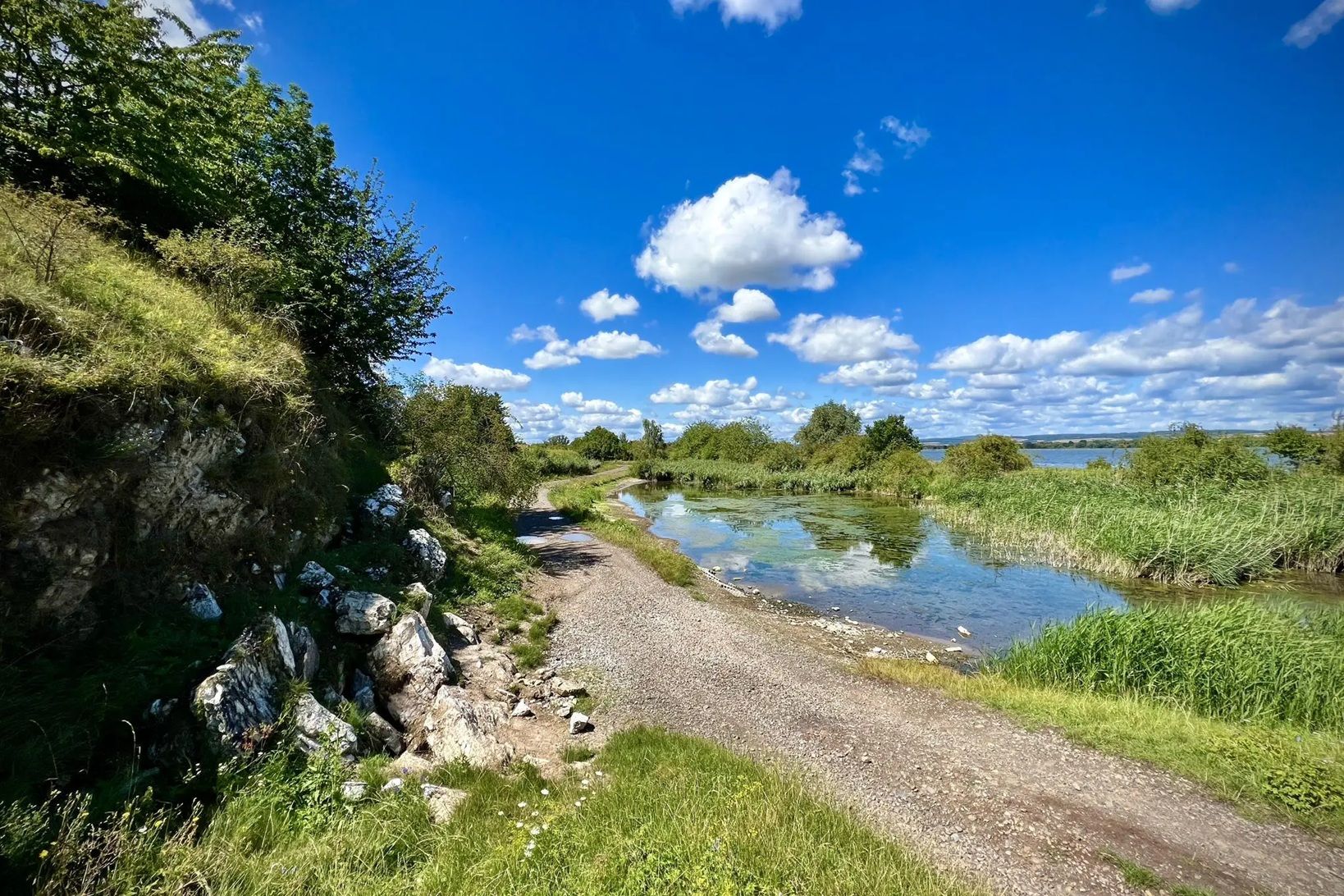
On both sides of the Basaltsee there is a 🅿️ near the lake (free), a path leads around the lake and a kiosk at the 🅿️ is being built.
0
0
Path 5 and 7 lead along here, you should not leave the paths
1
0

beautiful view at Heidelstein
0
0

Frequently Asked Questions
How many easy hiking trails are available in Lange Rhön?
Lange Rhön offers a wide selection of easy hiking trails. There are over 18 routes specifically categorized as easy, providing accessible options for various ability levels. In total, the region features nearly 50 hiking routes, with the majority being easy or moderate.
What kind of landscape can I expect on easy hikes in Lange Rhön?
Easy hikes in Lange Rhön traverse a diverse landscape shaped by ancient volcanic activity. You'll encounter treeless heights offering wide panoramic vistas, lush green mountain meadows, and unique moorlands like the Schwarzes Moor Nature Trail. The region is known for its 'land of open distances' and varied ecosystems, including basalt rock formations.
Are there any waterfalls on easy hiking trails in Lange Rhön?
Yes, you can discover waterfalls on easy trails in Lange Rhön. For example, the Eisgraben Waterfall – Lange Rhön Nature Reserve loop is an easy 2.2-mile (3.5 km) hike that leads you directly to the beautiful Eisgraben Waterfall.
Can I find trails with panoramic views in Lange Rhön?
Absolutely. Lange Rhön is famous for its expansive views from treeless heights. The Heidelstein summit – View of Schornhecke loop is an easy trail that offers extensive panoramic views from the Heidelstein summit. Other popular spots for vistas include the Noah's Sail viewing platform and the Hohe Geba.
Are there unique natural features to explore on easy walks?
Yes, Lange Rhön is rich in unique natural features. The Schwarzes Moor Nature Trail offers an easy boardwalk experience through one of Germany's best-preserved raised bogs, where you can observe rare plants and the Great Moor Eye. You can also explore basalt formations and a lake on the Stone House – Basalt Lake at the Stone House loop.
What do other hikers enjoy most about easy hiking in Lange Rhön?
The komoot community highly rates hiking in Lange Rhön, with an average score of 4.7 stars from over 4,500 reviews. Hikers frequently praise the region's diverse and well-maintained trails, the stunning panoramic views from the treeless heights, and the unique natural features like the moorlands and basalt formations. Many appreciate the accessibility of the easy routes.
Are there family-friendly easy hikes in Lange Rhön?
Lange Rhön offers several family-friendly options for easy hiking. Beyond the trails themselves, attractions like the Noah's Sail viewing platform with its dry slide, the interactive Rhönwald adventure world, and the Hohe Geba with its cultural garden and adventure playground make for engaging excursions that can be combined with easy walks.
Can I bring my dog on easy hiking trails in Lange Rhön?
Generally, dogs are welcome on most hiking trails in Lange Rhön. It's always recommended to keep your dog on a leash, especially in nature reserves, near wildlife, or in agricultural areas. Be mindful of local regulations and ensure your dog is well-behaved around other hikers and animals.
Are there easy circular walks available in Lange Rhön?
Yes, many easy trails in Lange Rhön are designed as circular routes, allowing you to start and end at the same point. Examples include the popular Ulster Spring – Golden Spring loop, which explores two natural springs, and the Rothsee parking lot – Fisherman's Hut at Rothsee loop, offering a pleasant walk around a lake.
What is the best time of year for easy hikes in Lange Rhön?
Lange Rhön is beautiful year-round, but spring, summer, and early autumn are particularly ideal for easy hikes. During these seasons, the weather is generally mild, and the landscapes are vibrant with green meadows or autumn colors. The region's open distances mean trails can be exposed, so checking the weather forecast is always a good idea.
Are there opportunities for stargazing after an easy hike?
Yes, Lange Rhön is designated an International Star Park due to its exceptionally clear night skies and minimal light pollution. After an easy daytime hike, you can enjoy incredible stargazing opportunities. Special viewing sites are available on the Hohe Geba and at the Erlebniswelt Rhönwald, making it a unique experience.
What historical or cultural sites can I see on easy hikes?
While primarily known for its nature, Lange Rhön also offers glimpses into history. You might encounter remnants of the former inner-German border, including old watchtowers, particularly near the Schwarzes Moor. The famous Kloster Kreuzberg (Kreuzberg Monastery) is also a significant cultural landmark in the broader Rhön region, often accessible via various hiking paths.
Most popular routes around Lange Rhön
Most popular attractions around Lange Rhön

Get inspired with the komoot mobile app


Explore more
Browse the best Hikes in other regions.
