Easy hikes and walks in the Carpathian Mountains
4.6
(39397)
550,963
hikers
7,490
hikes
Easy hiking trails in the Carpathian Mountains traverse a diverse landscape characterized by dense forests, serene alpine meadows, and deep valleys. This expansive mountain range offers varied terrain suitable for accessible walks, with numerous hills and natural features. The region provides a rich biodiversity and a network of paths for outdoor experiences.
Best easy hiking trails in the Carpathian Mountains
- The most popular easy hiking route is Nature trail Folusz (loop): Magurski National Park, a 4.0 miles (6.4 km) trail that takes 1 hour 55 minutes to complete. This loop offers an accessible way to explore the Magurski National Park.
- Another top favourite among local hikers is Nature trail "Torfowisko Wysokie Tarnawa Niżna": Bieszczadzki Park Narodowy, an easy 1.5 miles (2.4 km) path. This short nature trail provides an opportunity to experience the Bieszczadzki Park Narodowy with minimal elevation gain.
- Local hikers also love the Pętla Wapienne - Ferdel (przez szlak zielony i czarny): Magurski Park Narodowy, a 3.8 miles (6.1 km) trail leading through Magurski National Park, often completed in about 1 hour 56 minutes.
- Hiking in the Carpathian Mountains is defined by dense forests, alpine meadows, and deep valleys. The extensive network of trails offers options for various ability levels, including many easy hiking trails.
- The routes in Carpathian Mountains are highly rated by the komoot community with an average score of 4.6 stars from over 30,000 reviews. More than 450,000 hikers have used komoot to explore Carpathian Mountains's varied terrain.
Last updated: October 10, 2026
4.6
(39)
298
hikers
6.42km
01:55
190m
190m
Easy hike. Great for any fitness level. Easily-accessible paths. Suitable for all skill levels.
4.8
(10)
249
hikers
Easy hike. Great for any fitness level. Easily-accessible paths. Suitable for all skill levels.

4.9
(14)
192
hikers
6.14km
01:57
240m
240m
Easy hike. Great for any fitness level. Easily-accessible paths. Suitable for all skill levels.
66
hikers
2.91km
00:51
80m
80m
Easy hike. Great for any fitness level. Easily-accessible paths. Suitable for all skill levels.
5.0
(4)
45
hikers
3.53km
01:09
160m
160m
Easy hike. Great for any fitness level. Easily-accessible paths. Suitable for all skill levels.
4.8
(9)
35
hikers
5.97km
01:51
200m
200m
Easy hike. Great for any fitness level. Easily-accessible paths. Suitable for all skill levels.
4.7
(3)
37
hikers
4.66km
01:35
240m
240m
Easy hike. Great for any fitness level. Easily-accessible paths. Suitable for all skill levels.
4.7
(3)
29
hikers
Easy hike. Great for any fitness level. Easily-accessible paths. Suitable for all skill levels.
4.8
(4)
23
hikers
Easy hike. Great for any fitness level. Easily-accessible paths. Suitable for all skill levels.
5.0
(2)
24
hikers
3.35km
00:57
70m
80m
Easy hike. Great for any fitness level. Easily-accessible paths. Suitable for all skill levels.
Get access to more routes and recommendations from other explorers.
Already have an account?
Our route recommendations are based on thousands of hikes, rides, and runs completed by other people on komoot.
Start today with a free account
Your next adventure awaits.
Popular around Carpathian Mountains
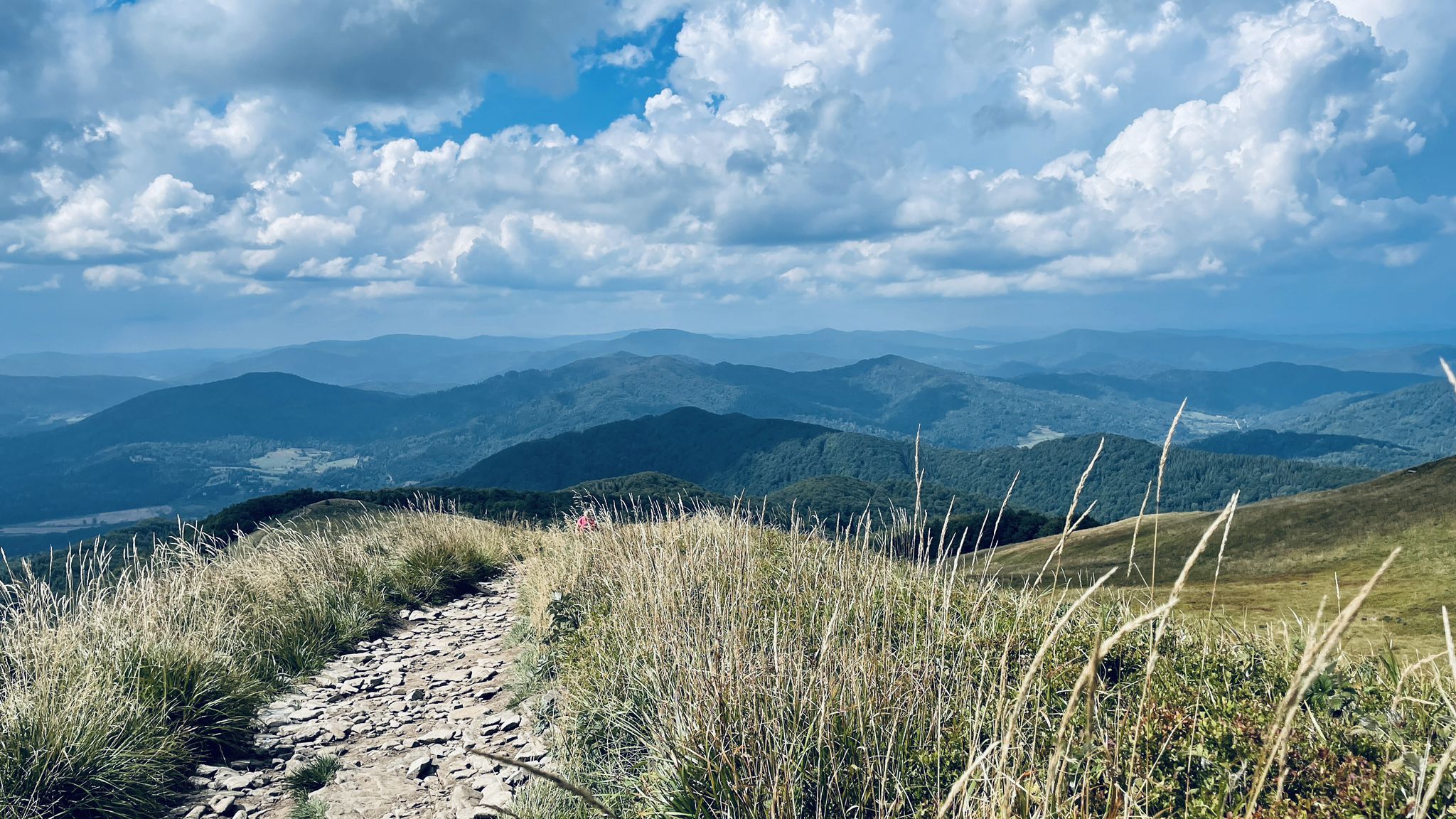
Main Beskids Trail — the longest Polish Mountain Trail
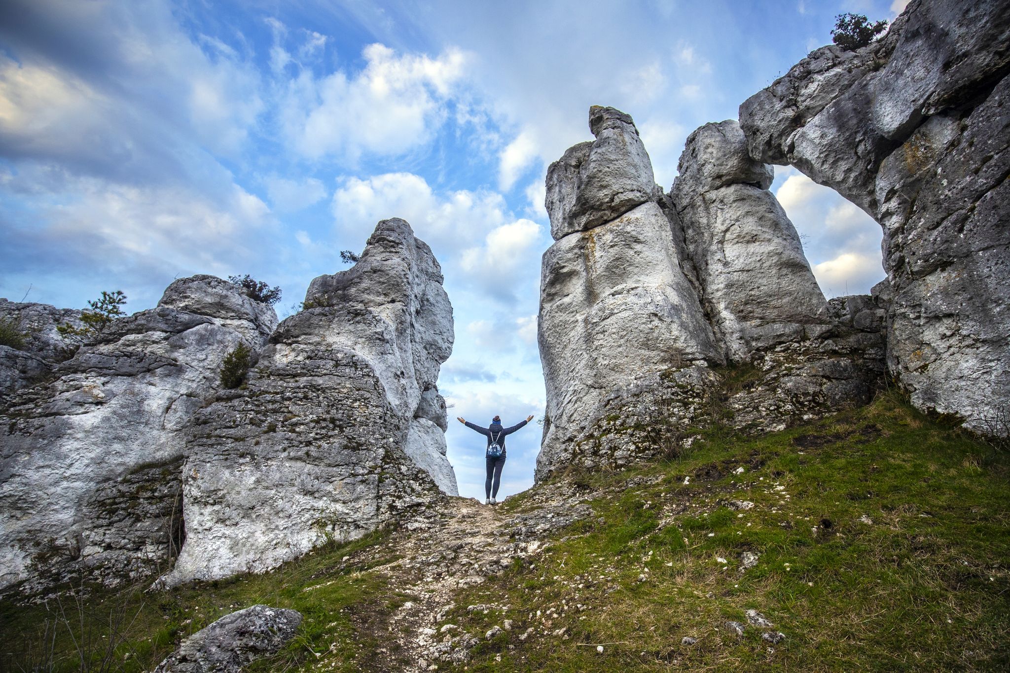
Outdoor Poland 4 – Upper Silesia long-distance hikes
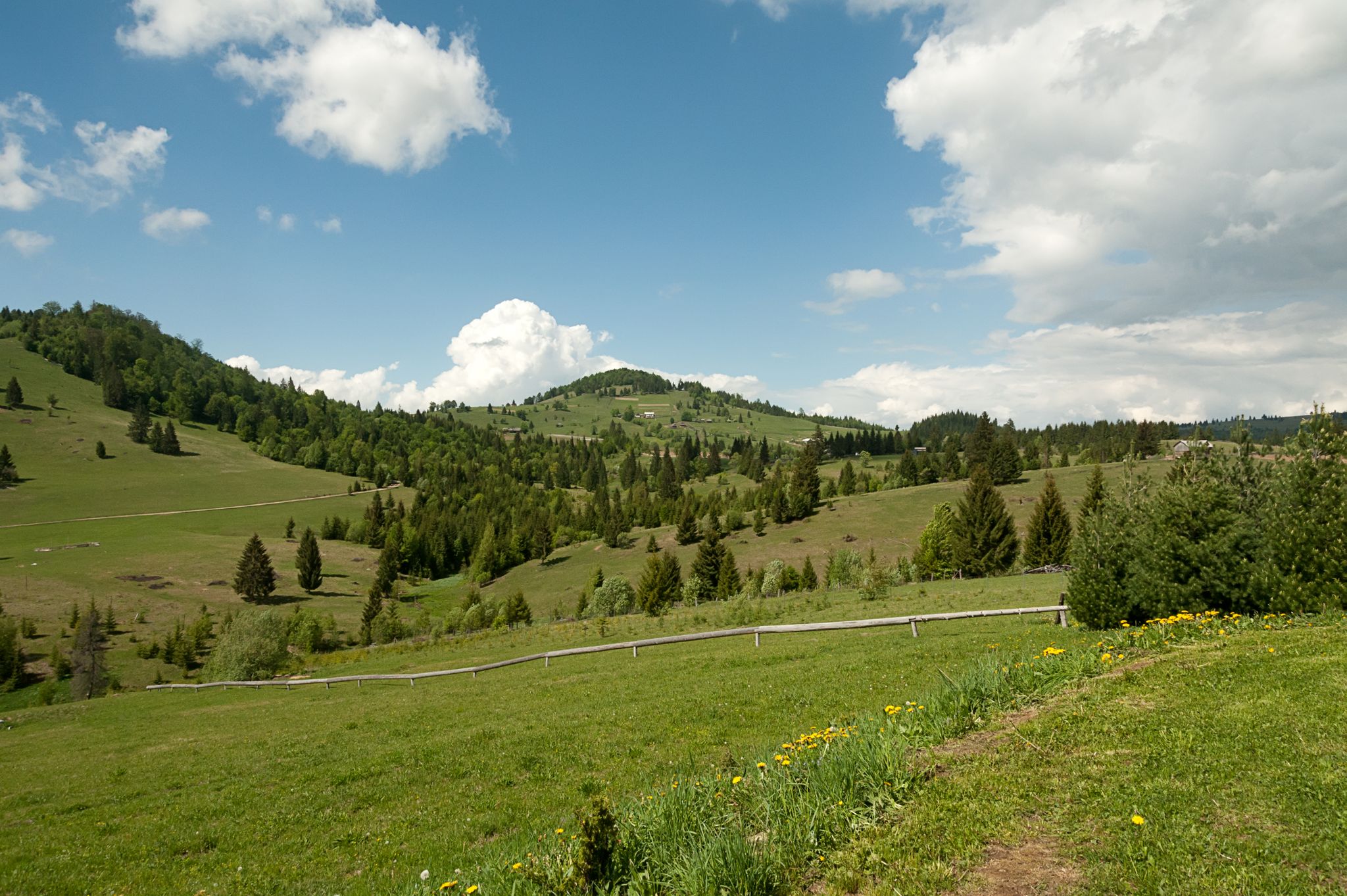
Via Transilvanica (second section) – Highlands
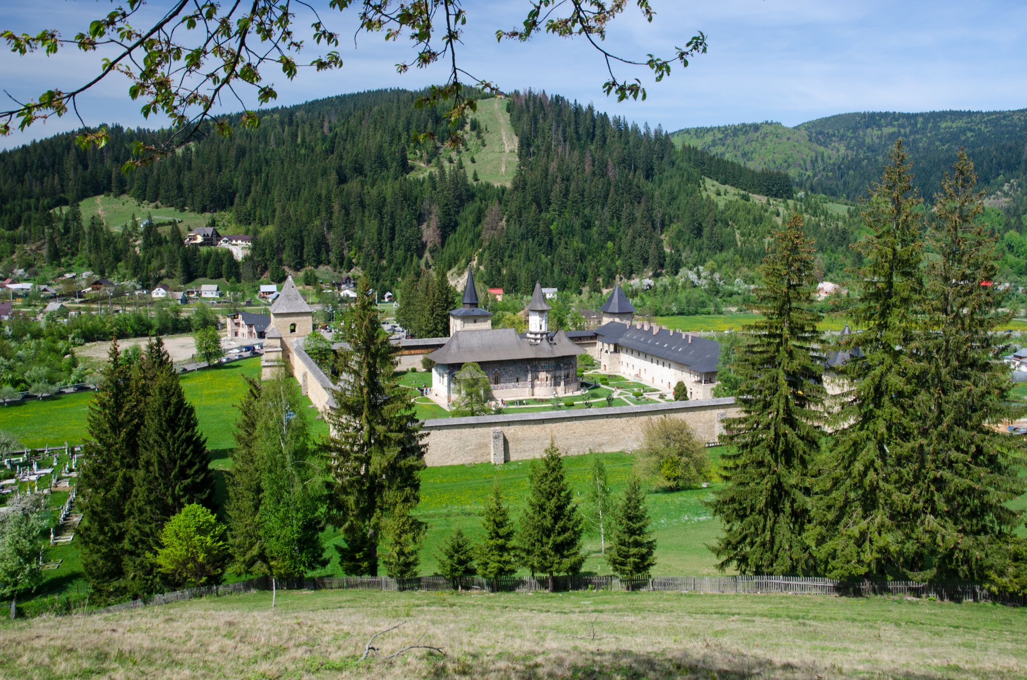
Via Transilvanica (first section) – Bucovina
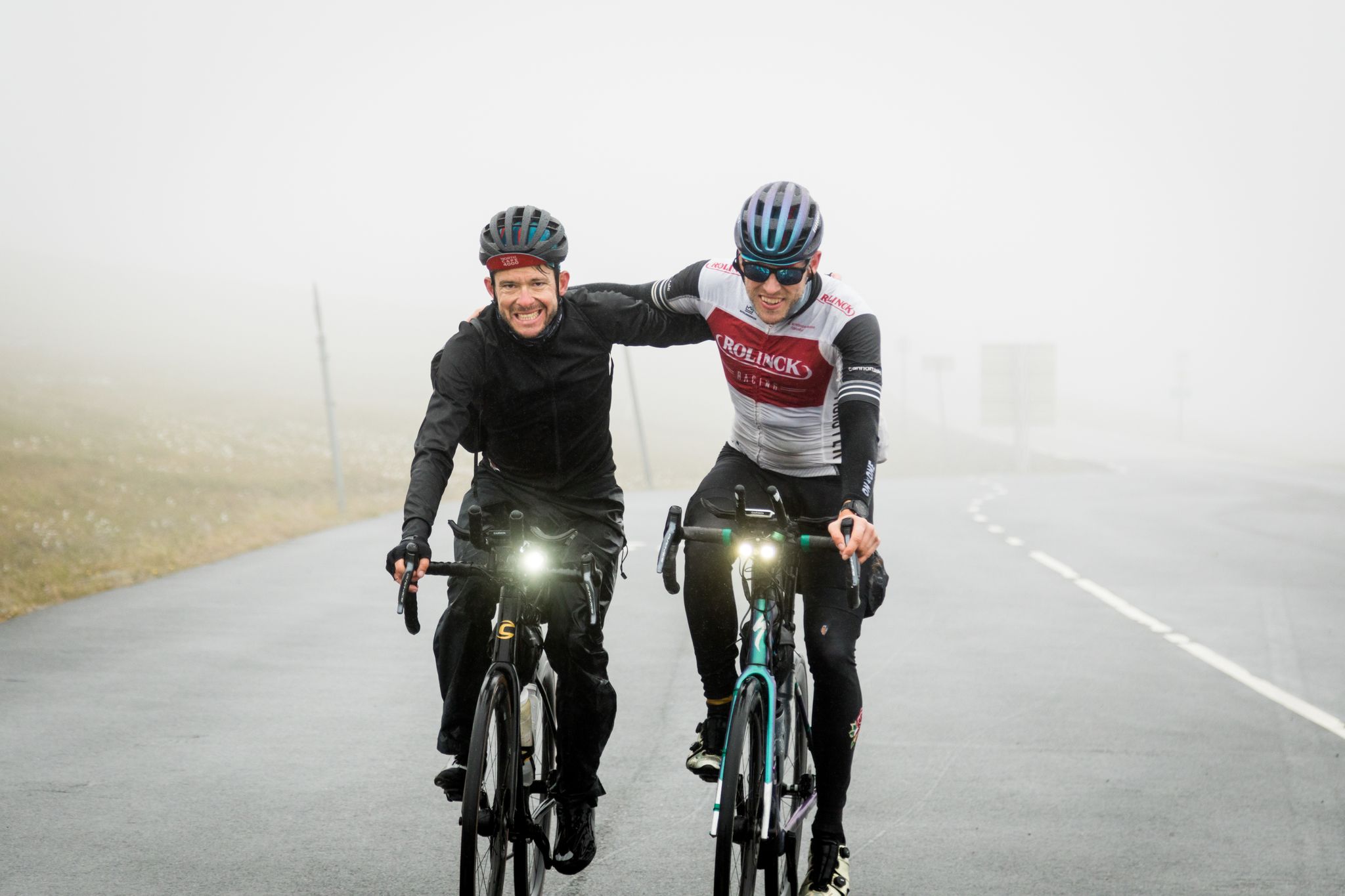
NorthCape4000 – 12 days from Lake Garda to the North Cape
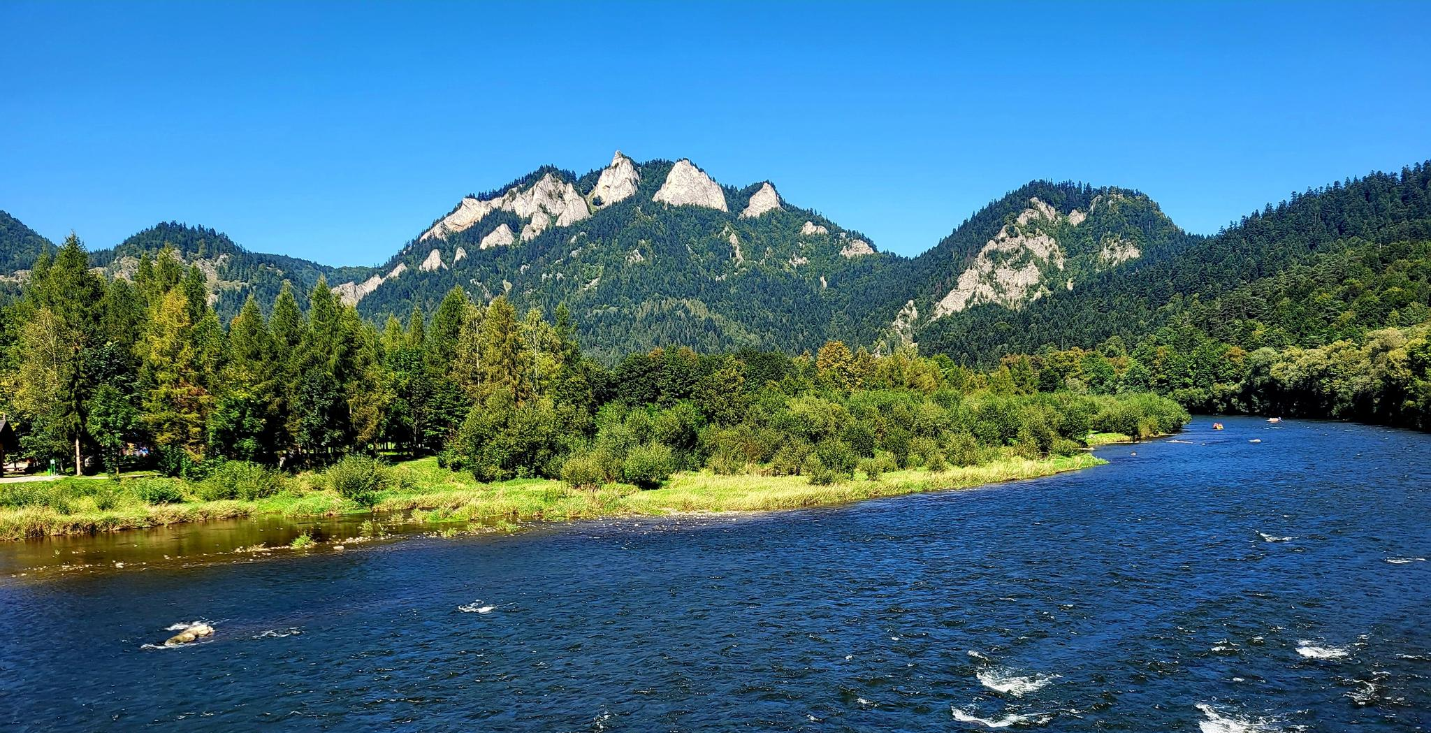
From Zakopane to Nowy Sącz along the river - Velo Dunajec
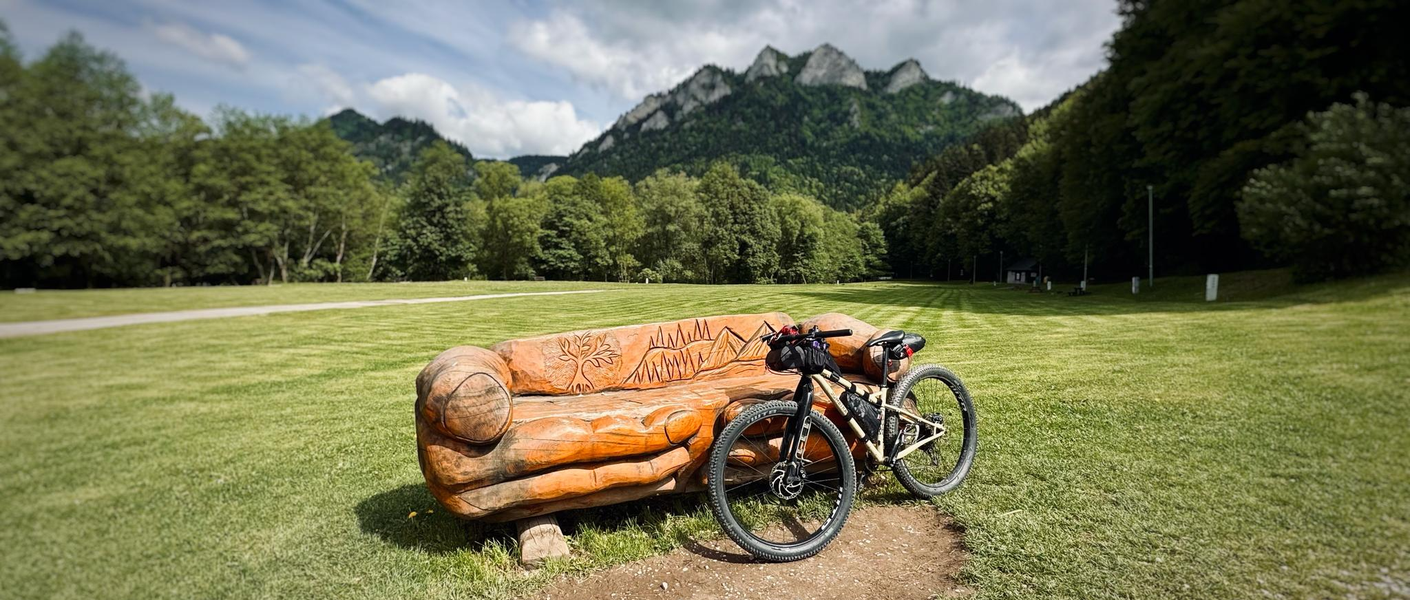
Between the Vistula & the High Tatras – bikepacking through Małopolska
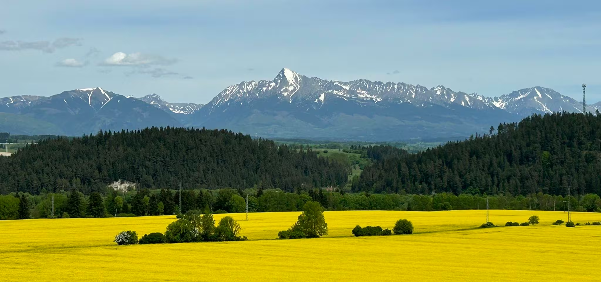
Discover the majesty of the mountains - Tour Around the Tatra Mountains (SWT)
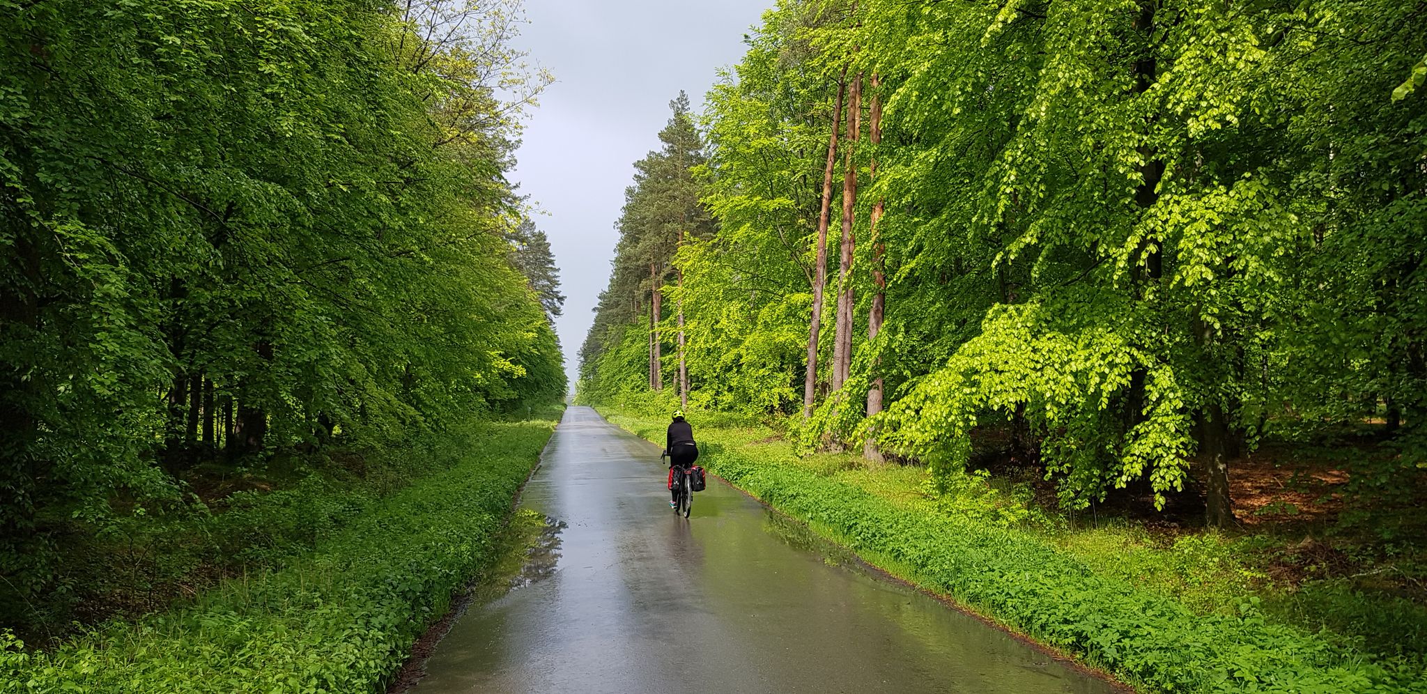
To the east, Eden – La Green Velo Szlak (part one)
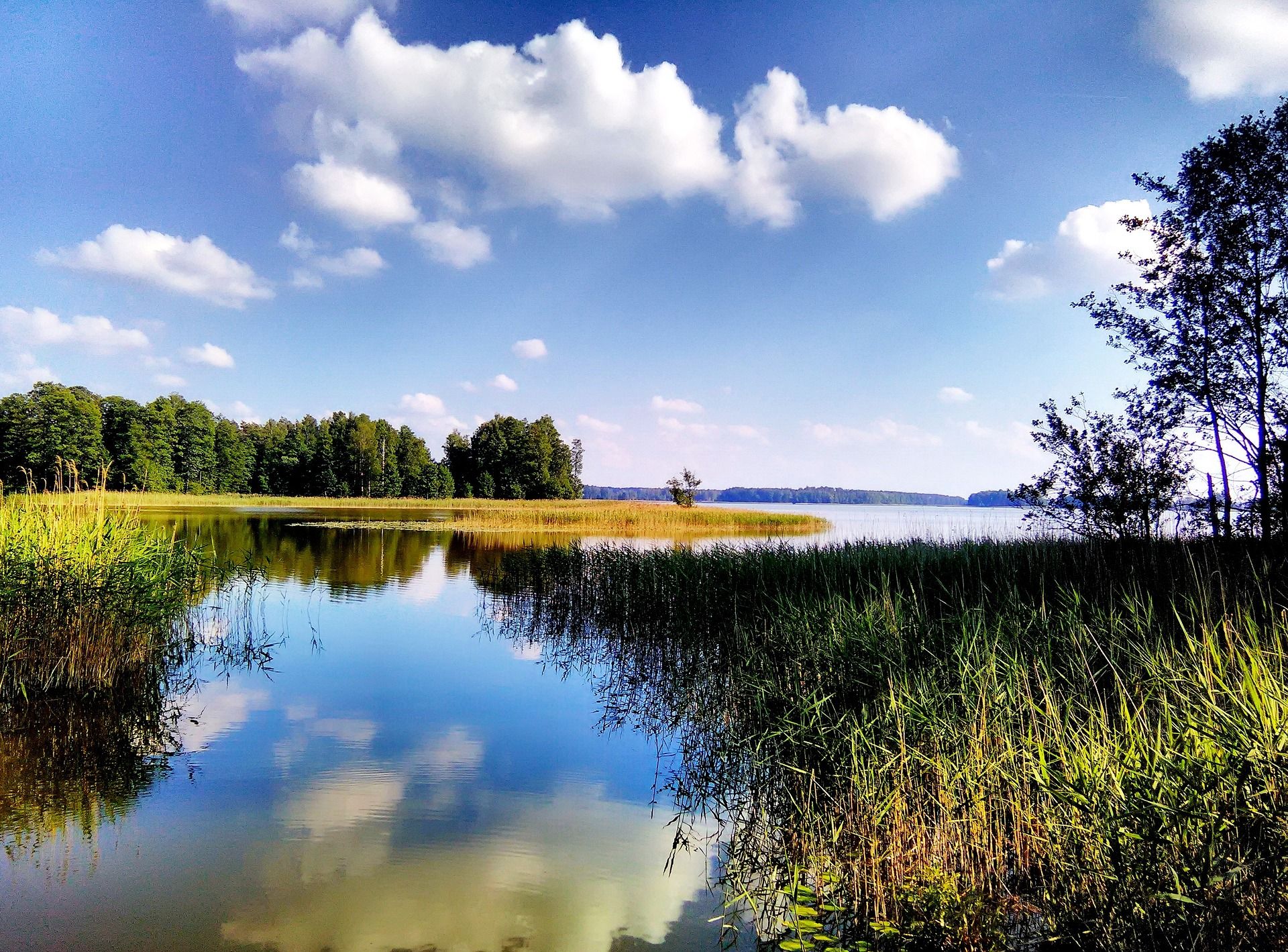
Where Poland's wild soul lives – explore five regions by bike
Other adventures in the Carpathian Mountains


Tips from the Community

More information and photos: https://pttk.pl/accommodations/bacowka-pod-honem/ https://mapa-turystyczna.pl/node/bacowka-pttk-pod-honem#49.21434/22.31358/14 https://pl.wikipedia.org/wiki/Bac%C3%B3wka_PTTK_%E2%80%9EPod_Honem%E2%80%9D https://panoramakoscielisko.pl/bacowka-pod-honem-w-cisnej-planujesz-bieszczady-wszystko-co-musisz-wiedziec https://www.schroniskaturystyczne.pl/bacowka-pttk-pod-honem/
2
0
More information and photos: https://goryaktywnie.pl/gora-grzywacka https://beskidniski.org.pl/grzywacka-gora/ https://osadapodbrzoza.pl/grzywacka-gora-szlaki-wieza-i-panorama-beskidu-niskiego https://pl.wikipedia.org/wiki/Grzywacka_G%C3%B3ra
2
0
More information and photos: https://pl.wikipedia.org/wiki/%C5%BBydowskie https://www.lemko.pl/artyku%C5%82y/cmentarz-%C5%82emkowski-w-%C5%BCydowskim/ https://www.lemko.pl/miejsca/%C5%BCydowskie/ https://mapa-turystyczna.pl/node/zydowskie-cmentarz-lemkowski#49.47520/21.47424/14
2
0

A climatic trail, but I hit a time of year when the waterfall was only trickling to the left. Otherwise ok.
0
0

There are nice views from here.
0
0

From the Wapienne side, there's a fairly long ascent, while from the other side, from Niżne, there's a much shorter but steeper ascent. Currently, in winter, there's knee-deep snow in places, so hiking poles are recommended. Despite the good markings, a GPS or a map on your phone is recommended.
0
0

A shelter is just a shelter, but what makes it unique are the views from above of Kąty and the entire beautiful surrounding area. And the Wisłoka River flowing through the valley below... truly magnificent!
1
0

Please watch out for animals because they can jump out onto the road and into dangerous terrain in the forests, because you can, for example: get stuck in the mud, fall into (dirty) water, or impale yourself on something sharp. Of course, this only happens on the most extreme routes. Thank you for your attention and best regards, and have fun 👋
0
0
Frequently Asked Questions
How many easy hiking trails are available in the Carpathian Mountains?
There are over 1,900 easy hiking trails in the Carpathian Mountains, offering a wide range of options for accessible walks through diverse landscapes.
What is the best time of year for easy hikes in the Carpathian Mountains?
The best time for hiking in the Carpathians is typically during the summer months, from June to September, when the weather is sunniest and trails are most accessible. Spring and autumn also offer pleasant conditions, though higher elevations may have more unpredictable weather.
What do other hikers enjoy most about easy trails in the Carpathian Mountains?
The easy trails in the Carpathian Mountains are highly rated by the komoot community, with an average score of 4.6 stars from over 30,000 reviews. Hikers often praise the region's wild beauty, diverse terrain, and the extensive network of well-marked paths suitable for all skill levels.
Are there easy circular hiking routes in the Carpathian Mountains?
Yes, many easy trails in the Carpathian Mountains are circular. For example, the Nature trail Folusz (loop): Magurski National Park is a popular 4-mile loop, and the Pętla Wapienne - Ferdel (przez szlak zielony i czarny): Magurski Park Narodowy is another well-liked 3.8-mile loop.
Can I find easy trails with viewpoints in the Carpathian Mountains?
Absolutely. The Carpathian Mountains offer numerous easy trails with rewarding viewpoints. For instance, the Viewpoint Pichurów: San Valley Landscape Park provides scenic vistas over the San Valley. Many trails also lead to panoramic spots overlooking dense forests and alpine meadows.
Are the easy hiking trails in the Carpathian Mountains suitable for families?
Yes, the Carpathian Mountains have many family-friendly easy trails. These routes often feature minimal elevation gain and shorter distances, making them ideal for all ages. National parks like Magurski National Park and Bieszczadzki Park Narodowy offer accessible nature trails perfect for families.
Are dogs allowed on easy hiking trails in the Carpathian Mountains?
Many trails in the Carpathian Mountains are dog-friendly, but regulations can vary by national park or protected area. It's always best to check specific park rules beforehand. Generally, dogs should be kept on a leash to protect local wildlife and ensure a pleasant experience for all hikers.
Are there easy trails that pass by waterfalls or lakes?
Yes, the Carpathian Mountains are dotted with crystal-clear mountain lakes and cascading waterfalls. While specific easy trails may vary, you can find beautiful water features like Morskie Oko (Sea Eye) and Wodogrzmoty Mickiewicza Waterfalls, which are often accessible via trails of varying difficulty. Many national parks, such as Retezat, are known for their glacial lakes.
What kind of terrain can I expect on easy hikes in the Carpathian Mountains?
Easy hikes in the Carpathian Mountains typically traverse diverse terrain, including dense forests, serene alpine meadows, and gentle valleys. You can expect well-maintained paths, often with a mix of dirt tracks and gravel, and generally mild elevation changes, making them comfortable for beginners.
Are there any unique natural landmarks to see on easy hikes?
The Carpathians are rich in unique natural landmarks. While some are in more challenging areas, you can find intriguing features like the distinctive 'Babele' (Old Ladies) and 'Sphinx' rock formations in the Bucegi Mountains, or explore dramatic geological formations like the Zarnesti Gorge, which may have accessible sections or viewpoints nearby.
Is parking available near easy hiking trails in the Carpathian Mountains?
Parking is generally available near popular trailheads and national park entrances in the Carpathian Mountains. Many areas, especially those with designated nature trails, provide parking facilities, though some may require a small fee. It's advisable to check specific trail information for details on parking availability.
Can I reach easy hiking trails in the Carpathian Mountains using public transport?
Access to some easy hiking trails in the Carpathian Mountains is possible via public transport, particularly in more developed areas or near towns. Buses often serve national park entrances or popular villages. However, for more remote trailheads, a car might be necessary. Researching specific routes and their accessibility is recommended.
Are there options for short, easy hikes?
Yes, the Carpathian Mountains offer many options for short, easy hikes. For example, the Nature trail "Torfowisko Wysokie Tarnawa Niżna": Bieszczadzki Park Narodowy is a very accessible 1.5-mile path, perfect for a quick and enjoyable walk.
Are there any mountain huts or places to eat near easy trails?
Yes, the Carpathian Mountains have a good network of mountain huts (cabanas) that provide accommodation and often serve hot food, making them convenient stops during or after a hike. In villages near popular trailheads, you can also find local cafes and restaurants offering traditional cuisine.
Most popular routes in the Carpathian Mountains
Most popular attractions in the Carpathian Mountains

Get inspired with the komoot mobile app


Explore more
Browse the best Hikes in other regions.
