Easy hikes and walks in the Cordillera de Talamanca
4.6
(1312)
11,448
hikers
114
hikes
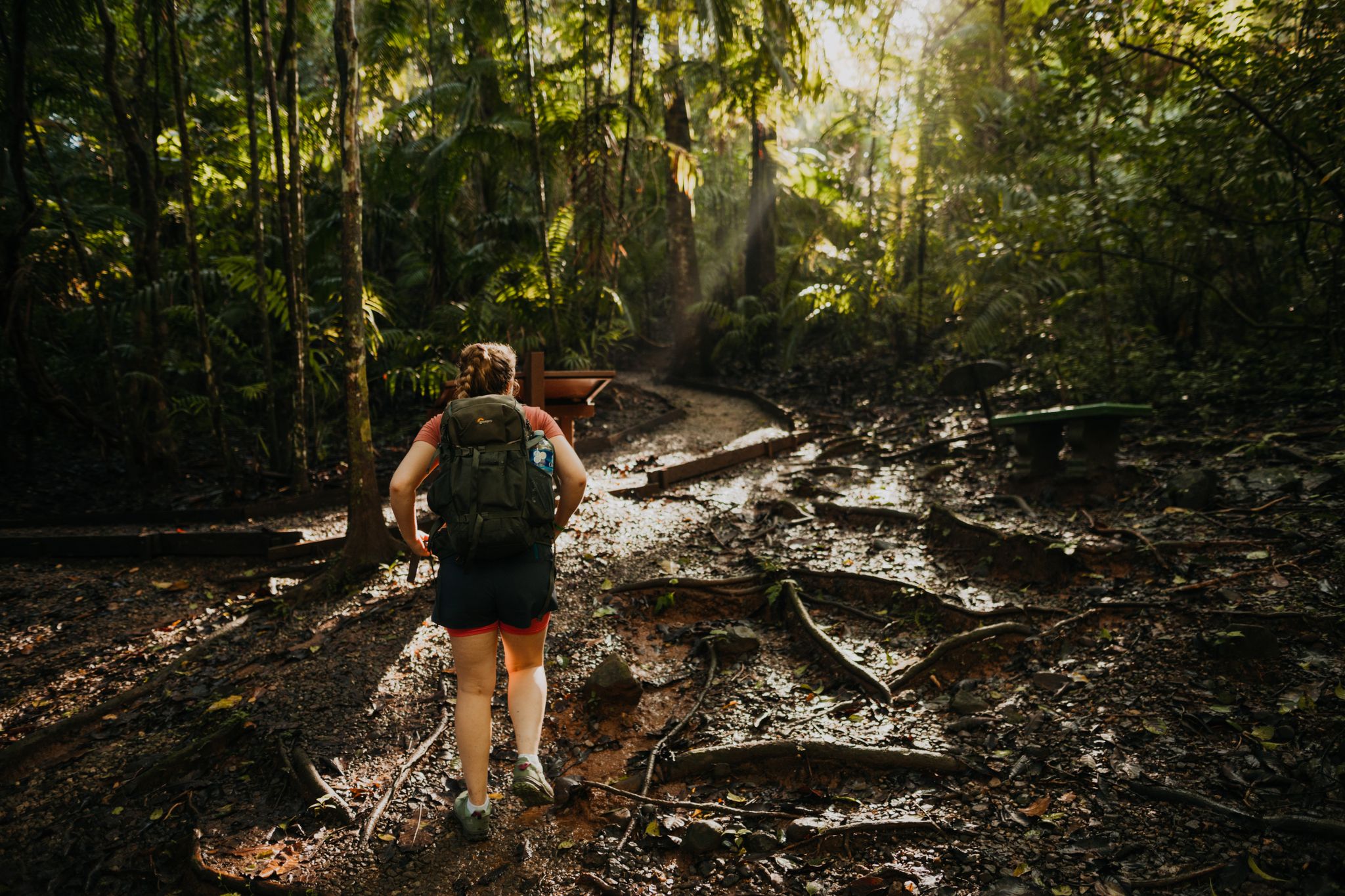
Easy hiking trails in the Cordillera de Talamanca traverse a region characterized by diverse ecosystems, from lush tropical lowland rainforests to montane and cloud forests. The landscape features significant elevation changes, creating microclimates that support exceptional biodiversity. Hikers can explore areas with dramatic waterfalls, tranquil rivers, and evidence of ancient glacial formations. This mountain range offers a variety of paths through its varied terrain.
Best easy hiking trails in the Cordillera de Talamanca
- The most popular easy hiking route is…
Last updated: July 14, 2026
4.7
(55)
1,149
hikers
6.40km
01:51
160m
160m
Easy hike. Great for any fitness level. Easily-accessible paths. Suitable for all skill levels.
5.0
(6)
138
hikers
4.50km
01:31
230m
230m
Easy hike. Great for any fitness level. Easily-accessible paths. Suitable for all skill levels.

Sign up for free
4.5
(2)
109
hikers
4.64km
01:25
150m
150m
Easy hike. Great for any fitness level. Easily-accessible paths. Suitable for all skill levels.
5.0
(2)
92
hikers
Easy hike. Great for any fitness level. Easily-accessible paths. Suitable for all skill levels.
4.7
(3)
85
hikers
Easy hike. Great for any fitness level. Easily-accessible paths. Suitable for all skill levels.
4.8
(11)
76
hikers
5.35km
01:55
290m
300m
Easy hike. Great for any fitness level. Easily-accessible paths. Suitable for all skill levels.
5.0
(2)
53
hikers
6.95km
01:45
10m
10m
Easy hike. Great for any fitness level. Easily-accessible paths. Suitable for all skill levels.
5.0
(1)
33
hikers
2.91km
00:45
10m
10m
Easy hike. Great for any fitness level. Easily-accessible paths. Suitable for all skill levels.
4.8
(4)
29
hikers
Easy hike. Great for any fitness level. Easily-accessible paths. Suitable for all skill levels.
5.0
(3)
23
hikers
4.05km
01:24
230m
230m
Easy hike. Great for any fitness level. Easily-accessible paths. Suitable for all skill levels.
Get access to more routes and recommendations from other explorers.
Sign up for free
Already have an account?
Our route recommendations are based on thousands of hikes, rides, and runs completed by other people on komoot.
Start today with a free account
Your next adventure awaits.
Login or Signup
Popular around Cordillera de Talamanca
Other adventures in the Cordillera de Talamanca

Tips from the Community


Marino Ballena National Park near Uvita protects a spectacular coastal landscape. The park is famous for its whale-shaped sandbar, visible at low tide. Mangroves, reefs, and beaches provide habitat for sea turtles. Humpback whales migrate past the park between July and October, and again from December to April. The park is ideal for snorkeling, hiking, and enjoying relaxing sunsets every day.
0
0
Marino Ballena National Park near Uvita protects a spectacular coastal landscape. The park is famous for its whale-shaped sandbar, visible at low tide. Mangroves, reefs, and beaches provide habitat for sea turtles. Humpback whales migrate past the park between July and October, and again from December to April. The park is ideal for snorkeling, hiking, and enjoying relaxing sunsets every day.
0
0
Marino Ballena National Park near Uvita protects a spectacular coastal landscape. The park is famous for its whale-shaped sandbar, visible at low tide. Mangroves, reefs, and beaches provide habitat for sea turtles. Humpback whales migrate past the park between July and October, and again from December to April. The park is ideal for snorkeling, hiking, and enjoying relaxing sunsets every day.
0
0

Ideal for a straightforward hike! Flat, easy to access, and smooth.
0
0

Nice hike to catarata Nauyaca and go for a delicious splash in the cool water!
0
0
Frequently Asked Questions
How many easy hiking trails are available in the Cordillera de Talamanca?
The Cordillera de Talamanca offers a wide selection of easy hiking trails, with over 40 routes specifically categorized as easy. In total, the region features more than 115 hiking tours for various skill levels.
What kind of terrain can I expect on easy hikes in the Cordillera de Talamanca?
Easy hikes in the Cordillera de Talamanca traverse incredibly diverse terrain. You can expect paths through lush tropical lowland rainforests, montane forests, and dense cloud forests. Some trails might feature gentle elevation changes, while others are relatively flat, often following tranquil rivers or leading to dramatic waterfalls. The region's unique microclimates create varied landscapes even on shorter routes.
Are there any easy circular hiking routes in the Cordillera de Talamanca?
Yes, there are several easy circular routes. For example, the View of the Río Barú – Upper Nauyaca Waterfall loop from Líbano is a popular 4.0-mile (6.4 km) option. Another great choice is the Nauyaca Waterfalls loop from Ceiba, which is 2.8 miles (4.5 km) and provides access to the impressive waterfalls.
What natural features or landmarks can I see on easy hikes in the Cordillera de Talamanca?
Many easy hikes lead to stunning natural features. You can explore areas with magnificent waterfalls like the Nauyaca Waterfalls or the San Gerardo de Dota Waterfall. Trails often follow tranquil rivers such as the Savegre, and some routes offer viewpoints of the diverse forest ecosystems. The region is also known for its rich biodiversity, so keep an eye out for unique flora and fauna.
Are there family-friendly easy hikes in the Cordillera de Talamanca?
Yes, the Cordillera de Talamanca offers many family-friendly easy hikes. Routes like the Stone Pillar at Punta Uvita loop from Bahía, which is 4.2 km (2.6 miles) with minimal elevation, are suitable for families. The diverse ecosystems and natural attractions like waterfalls provide engaging experiences for all ages.
What is the best time of year for easy hiking in the Cordillera de Talamanca?
The Cordillera de Talamanca experiences varied microclimates due to significant elevation changes. Generally, the dry season (December to April) offers more predictable weather for hiking, with less rain and clearer skies, which can be ideal for enjoying viewpoints. However, the wet season brings lush greenery and fuller waterfalls, offering a different kind of beauty. Always check local weather forecasts before heading out.
What do other hikers enjoy most about the easy trails in the Cordillera de Talamanca?
The easy trails in the Cordillera de Talamanca are highly rated by the komoot community, with an average score of 4.6 stars from over 800 reviews. Hikers often praise the region's exceptional biodiversity, the stunning waterfalls, and the opportunity to experience diverse ecosystems from cloud forests to tropical lowlands. The well-maintained paths and scenic beauty are frequently highlighted.
Are there any easy hikes that offer great viewpoints in the Cordillera de Talamanca?
Yes, several easy hikes provide excellent viewpoints. For instance, the View of Jacó from the Arches – Miro's Ruins Viewpoint loop from Jacó offers scenic vistas. Another option is the Retro-Style Buses of Boquete – Viewpoint loop from Bajo Boquete, which includes a viewpoint. These routes allow you to appreciate the dramatic landscapes of the region.
Can I find easy hikes that lead to rivers or bodies of water?
Absolutely. The Cordillera de Talamanca is known for its tranquil rivers and dramatic waterfalls. The Savegre River – Waterfall on the Río Savegre loop from San Gerardo is a prime example, leading through river valleys and past waterfalls. Many other easy trails follow river courses, offering picturesque settings and opportunities to enjoy the water features.
What is the typical duration for an easy hike in this region?
The duration for easy hikes in the Cordillera de Talamanca can vary. Many popular easy routes, such as the View of the Río Barú – Upper Nauyaca Waterfall loop from Líbano (4.0 miles), typically take around 1 hour 50 minutes to complete. Shorter options like the Playa Guapil loop from Salitral (2.8 km) can be done in under an hour, making them perfect for a quick outing.
Are there any easy hikes within national parks or protected areas in the Cordillera de Talamanca?
Yes, a significant portion of the Cordillera de Talamanca is protected within national parks and reserves, offering well-maintained trail networks. For example, the Fallen Trees Trail – Oropéndula Trail loop from Parque Nacional Tapantí is an easy option within a protected area, allowing you to experience the region's rich biodiversity in a managed setting.
Most popular routes in the Cordillera de Talamanca
Most popular attractions in the Cordillera de Talamanca

Get inspired with the komoot mobile app


Explore more
Browse the best Hikes in other regions.
