Easy hikes and walks in Bezirk Urfahr-Umgebung
4.5
(4901)
30,659
hikers
1,416
hikes
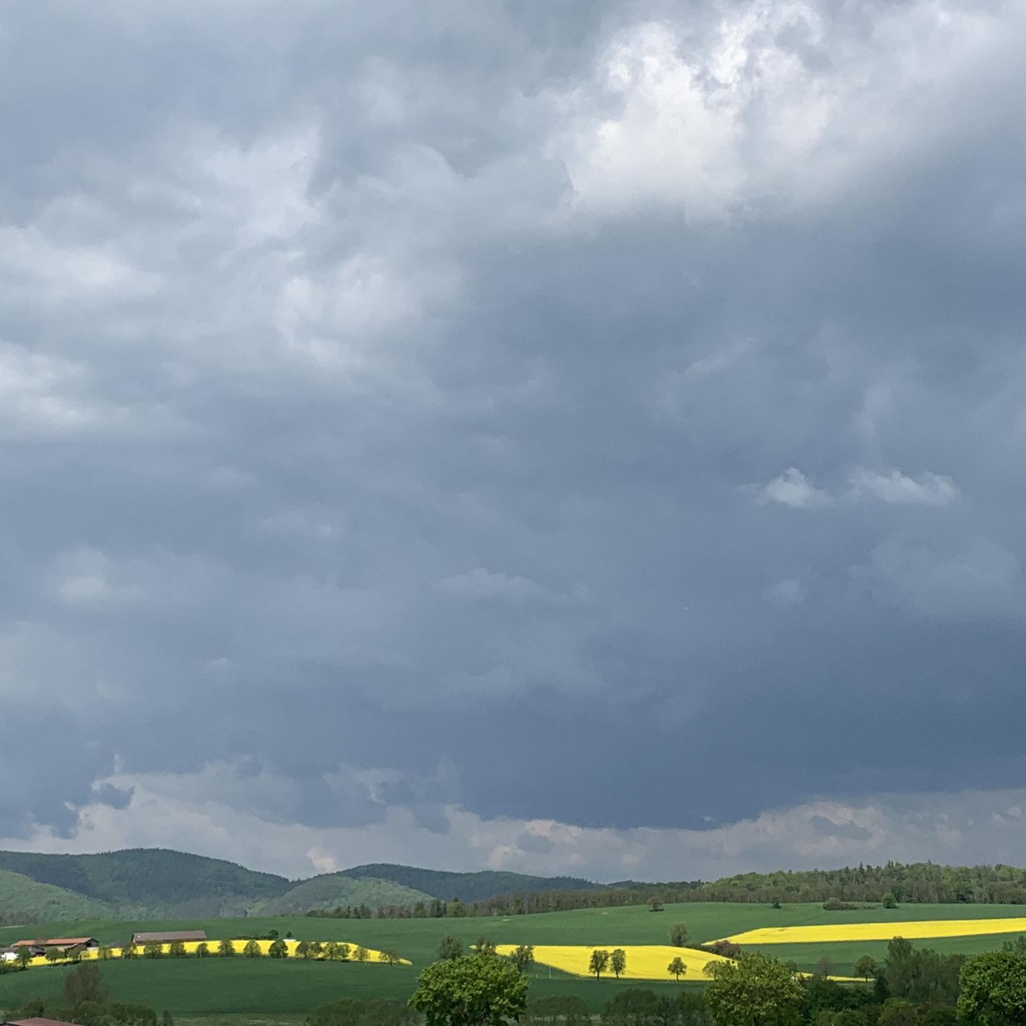
Easy hiking trails in Bezirk Urfahr-Umgebung traverse a varied landscape at the foot of the Mühlviertel, extending along the Danube River. The region features idyllic forests, gentle hills, and clear streams. Notable natural features include granite formations like Kerzenstein and the unique Tanner Moor, Austria's highest raised forest bog. This diverse terrain offers numerous opportunities for outdoor exploration.
Best easy hiking trails in Bezirk Urfahr-Umgebung
- The most popular easy hiking route is Yellow pond – Pesenbachsteig Trail loop from Ruine…
Last updated: June 30, 2026
4.8
(96)
666
hikers
5.93km
01:42
130m
140m
Easy hike. Great for any fitness level. Easily-accessible paths. Suitable for all skill levels.
4.8
(73)
329
hikers
5.17km
01:33
170m
170m
Easy hike. Great for any fitness level. Easily-accessible paths. Suitable for all skill levels.

Sign up for free
4.8
(48)
157
hikers
3.83km
01:10
130m
130m
Easy hike. Great for any fitness level. Easily-accessible paths. Suitable for all skill levels.
4.4
(49)
256
hikers
Easy hike. Great for any fitness level. Easily-accessible paths. Suitable for all skill levels.
4.7
(38)
144
hikers
6.39km
01:49
150m
150m
Easy hike. Great for any fitness level. Easily-accessible paths. Suitable for all skill levels.
4.7
(28)
102
hikers
Easy hike. Great for any fitness level. Easily-accessible paths. Suitable for all skill levels.
4.8
(6)
35
hikers
5.29km
01:37
190m
190m
Easy hike. Great for any fitness level. Easily-accessible paths. Suitable for all skill levels.
4.5
(6)
78
hikers
Easy hike. Great for any fitness level. Easily-accessible paths. Suitable for all skill levels.
4.3
(13)
64
hikers
3.97km
01:15
160m
160m
Easy hike. Great for any fitness level. Easily-accessible paths. Suitable for all skill levels.
5.0
(5)
104
hikers
Easy hike. Great for any fitness level. Easily-accessible paths. Suitable for all skill levels.
Get access to more routes and recommendations from other explorers.
Sign up for free
Already have an account?
Our route recommendations are based on thousands of hikes, rides, and runs completed by other people on komoot.
Start today with a free account
Your next adventure awaits.
Login or Signup
Popular around Bezirk Urfahr-Umgebung

Easy hikes around Feldkirchen an der Donau

Easy hikes around Steyregg

Easy hikes in Steyregger Wald

Easy hikes around Reichenau im Mühlkreis

Easy hikes around Sonnberg im Mühlkreis

Easy hikes in Sternwald

Easy hikes around Vorderweißenbach

Easy hikes around Gramastetten
Easy hikes in Breitlüsser Wald

Easy hikes around Hellmonsödt
Other adventures in Bezirk Urfahr-Umgebung


Tips from the Community

If you do the loop trail, you will pass right by it.
0
0
Great trail, only the railings could do with a repair.
0
0
Great stories about the old Bezebub
0
0
Beautiful what nature can create
0
0

Important information: Due to its poor data management, Komoot contains numerous inaccuracies that are unfortunately not updated by the site operators, Komoot. For accurate data and current trail closures, please visit our dedicated website: www.uppertrails.at The routing function on Komoot also provides numerous inaccuracies and trail closures. As the trail operators, we strongly recommend deleting this app if you wish to mountain bike legally. There are several reputable products and portals available that you can use for your tour planning (Brouter, Trailforks, etc.). Best regards, your Trail Team
1
0

Schmiedlhütte on the adventure trail in the moorland forest.
1
0
Joachimsquelle Kneipp facility – Schmiedhütte roundabout.
0
0
Frequently Asked Questions
How many easy hiking trails are available in Bezirk Urfahr-Umgebung?
Bezirk Urfahr-Umgebung offers a wide selection of easy hiking trails, with over 660 routes specifically categorized as easy. In total, there are more than 1,450 hiking tours across various difficulty levels in the region.
Are there easy circular hiking routes in Bezirk Urfahr-Umgebung?
Yes, many easy trails in Bezirk Urfahr-Umgebung are designed as circular routes, allowing you to start and end at the same point. A popular option is the Yellow pond – Pesenbachsteig Trail loop from Ruine Oberwallsee, which is 6 km long and explores the scenic Pesenbach Valley.
What kind of natural features can I expect to see on easy hikes in Bezirk Urfahr-Umgebung?
Easy hikes in Bezirk Urfahr-Umgebung showcase a diverse landscape, from the rolling hills of the Mühlviertel to the serene Danube riverbanks. You'll encounter idyllic forests, clear streams, and unique geological formations like the granite column Kerzenstein. The Pesenbachtal natural reserve is particularly notable for its protected natural monuments.
Are there family-friendly easy hikes in Bezirk Urfahr-Umgebung?
Absolutely. The region features several trails suitable for families. For instance, the Parish Church of Hellmonsödt – Wasserwald Leisure Park loop from Hellmonsödt is an easy 5.5 km route that passes by the Wasserwald Recreation Park, offering engaging activities for children. The Erlebnisweg Moorwald in Bad Leonfelden is also known as a family-friendly forest nature trail.
Can I bring my dog on easy hiking trails in Bezirk Urfahr-Umgebung?
Many easy hiking trails in Bezirk Urfahr-Umgebung are dog-friendly, allowing you to enjoy the natural beauty with your canine companion. It's always recommended to keep dogs on a leash, especially in nature reserves or areas with wildlife, and to check local regulations for specific trails.
Are there easy hikes with good viewpoints in Bezirk Urfahr-Umgebung?
Yes, several easy hikes offer fantastic panoramic views. The 1000-Meter Spot – Sternstein Observation Tower loop from Sternstein is an easy 5.2 km path leading to the Sternstein Observation Tower, providing breathtaking vistas into the Bohemian Forest and, on clear days, even the northern Limestone Alps. The Roadlberg Nature Reserve also offers magnificent panoramic views from its observation tower.
Where can I find parking for easy hiking trails in Bezirk Urfahr-Umgebung?
Parking is generally available near the trailheads of many popular easy hikes in Bezirk Urfahr-Umgebung. For specific routes, look for designated parking areas in nearby villages or at popular starting points. For example, trails around Sternstein or Hellmonsödt typically have accessible parking options.
Are there easy hikes accessible by public transport in Bezirk Urfahr-Umgebung?
While many trails are best reached by car, some areas in Bezirk Urfahr-Umgebung offer public transport connections to trailheads. It's advisable to check local bus schedules and routes to plan your journey, especially for trails closer to larger towns like Linz or Bad Leonfelden.
What do other hikers enjoy the most about hiking in Bezirk Urfahr-Umgebung?
The easy hiking trails in Bezirk Urfahr-Umgebung are highly rated by the komoot community, with an average score of 4.6 stars from over 4,400 reviews. Hikers frequently praise the region's varied terrain, the tranquility of its dense woodlands, and the well-maintained paths that make for enjoyable and accessible outdoor experiences.
Are there any lakes or swimming opportunities near easy hiking trails?
Yes, Bezirk Urfahr-Umgebung features several lakes that can be incorporated into or found near easy hiking routes. The Pleschinger Lake and the Feldkirchner Lakes are popular recreational spots, offering opportunities for swimming and relaxation after your hike.
Can I find places to eat or rest along easy hiking routes?
Many areas in Bezirk Urfahr-Umgebung have inns, restaurants, or huts conveniently located near hiking trails. For example, the Joachimsquelle Kneipp Facility – Schmiedhütte loop from Bad Leonfelden passes by places where you can stop for refreshments. Highlights like Pelmbergstüberl or Roadlhof Inn are popular spots for hikers.
Are there any historical landmarks or cultural sites along easy hikes?
Yes, the region blends natural beauty with historical interest. While not directly on an easy route listed in the guide data, the Burgruine Waxenberg, a castle ruin with a prominent observation tower, offers historical context and panoramic views. The 7-Kapellen-Roas in Feldkirchen is another themed trail that passes by several chapels.
Most popular routes in Bezirk Urfahr-Umgebung
Most popular attractions in Bezirk Urfahr-Umgebung

Get inspired with the komoot mobile app


Didn’t find what you were looking for?
Check out more Hikes throughout Bezirk Urfahr-Umgebung below and find the perfect route in your destination.
Explore more
Browse the best Hikes in other regions.
