Easy hikes and walks in Burgenlandkreis
4.6
(13339)
46,049
hikers
2,235
hikes
Easy hiking trails in Burgenlandkreis traverse a diverse landscape in Saxony-Anhalt, Germany. The region is characterized by its river valleys, including the Saale and Unstrut, which feature floodplain landscapes. Vineyards are a prominent natural feature, with many routes passing through wine-growing areas. Geological formations, such as sandstone and shell limestone, also define the terrain, offering varied hiking experiences.
Best easy hiking trails in Burgenlandkreis
- The most popular easy hiking route is View of the Unstrut Valley – Neuenburg Castle (Freyburg)…
Last updated: August 24, 2026
4.7
(148)
390
hikers
Easy hike. Great for any fitness level. Easily-accessible paths. Suitable for all skill levels.
4.6
(211)
832
hikers
5.52km
01:36
140m
130m
Easy hike. Great for any fitness level. Easily-accessible paths. Suitable for all skill levels.

Sign up for free
4.6
(99)
378
hikers
Easy hike. Great for any fitness level. Easily-accessible paths. Suitable for all skill levels.
4.6
(71)
207
hikers
4.13km
01:12
110m
110m
Easy hike. Great for any fitness level. Easily-accessible paths. Suitable for all skill levels.
4.6
(104)
400
hikers
Easy hike. Great for any fitness level. Easily-accessible paths. Suitable for all skill levels.
4.6
(205)
795
hikers
5.58km
01:36
140m
140m
Easy hike. Great for any fitness level. Easily-accessible paths. Suitable for all skill levels.
4.7
(46)
206
hikers
Easy hike. Great for any fitness level. Easily-accessible paths. Suitable for all skill levels.
4.6
(57)
183
hikers
Easy hike. Great for any fitness level. Easily-accessible paths. Suitable for all skill levels.
4.8
(23)
76
hikers
Easy hike. Great for any fitness level. Easily-accessible paths. Suitable for all skill levels.
4.8
(39)
166
hikers
Easy hike. Great for any fitness level. Easily-accessible paths. Suitable for all skill levels.
Get access to more routes and recommendations from other explorers.
Sign up for free
Already have an account?
Our route recommendations are based on thousands of hikes, rides, and runs completed by other people on komoot.
Start today with a free account
Your next adventure awaits.
Login or Signup
Popular around Burgenlandkreis

Easy hikes around Naumburg (Saale)
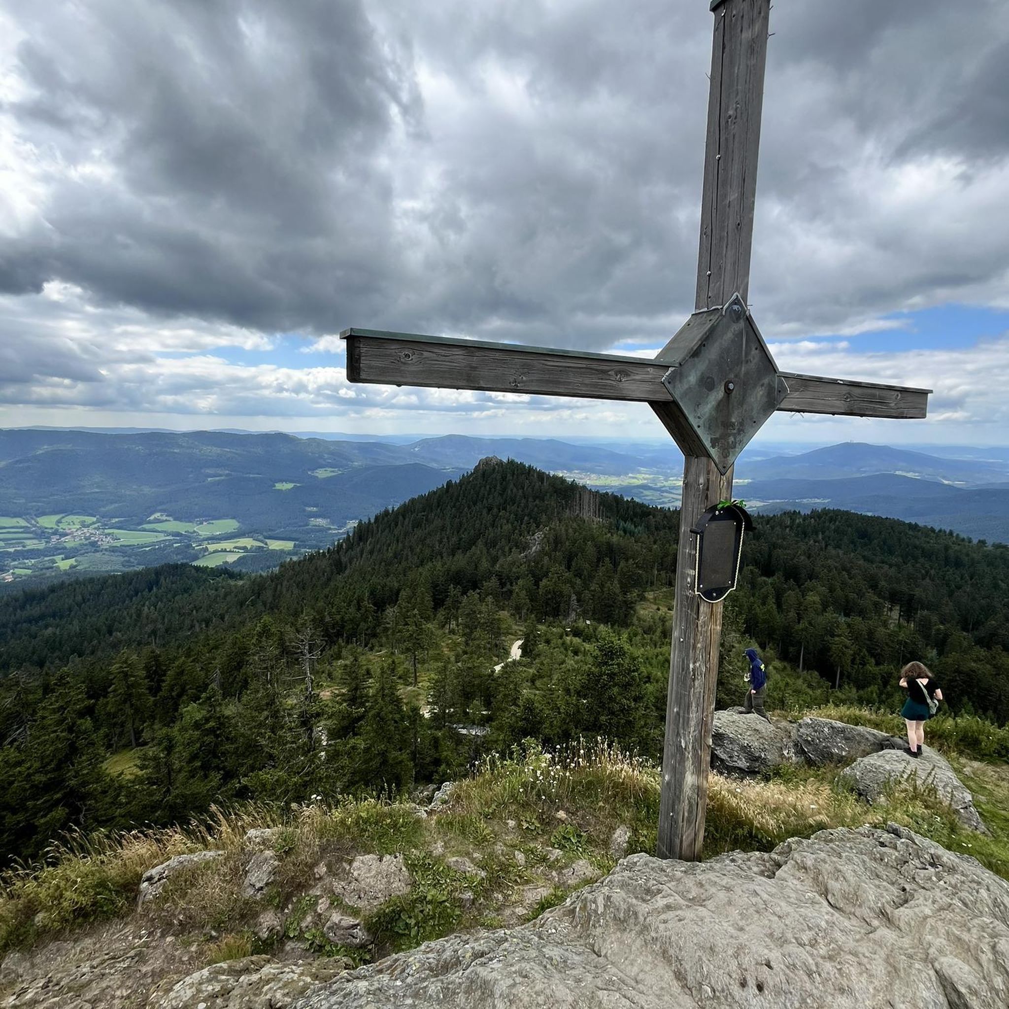
Easy hikes around Tote Täler
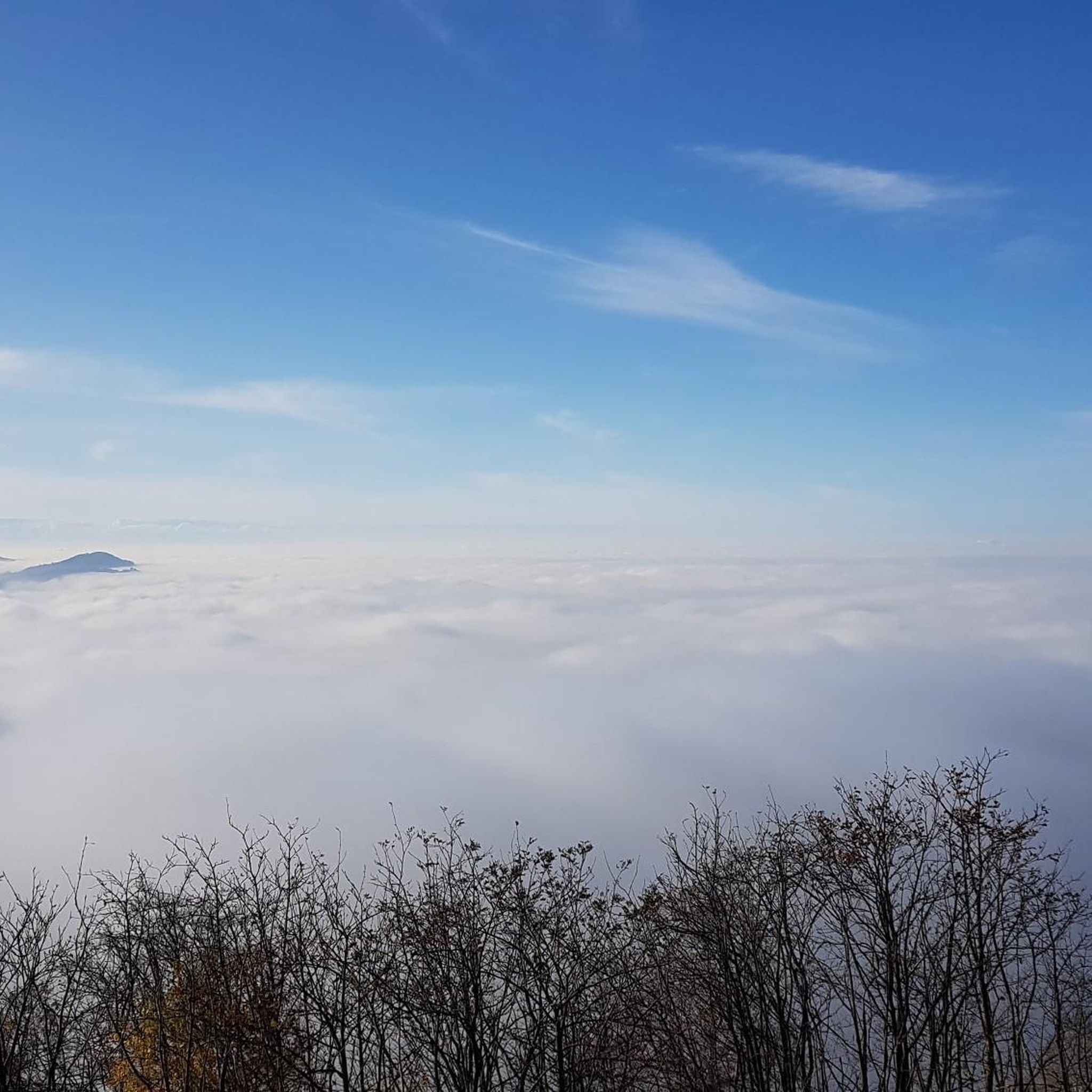
Easy hikes around Freyburg
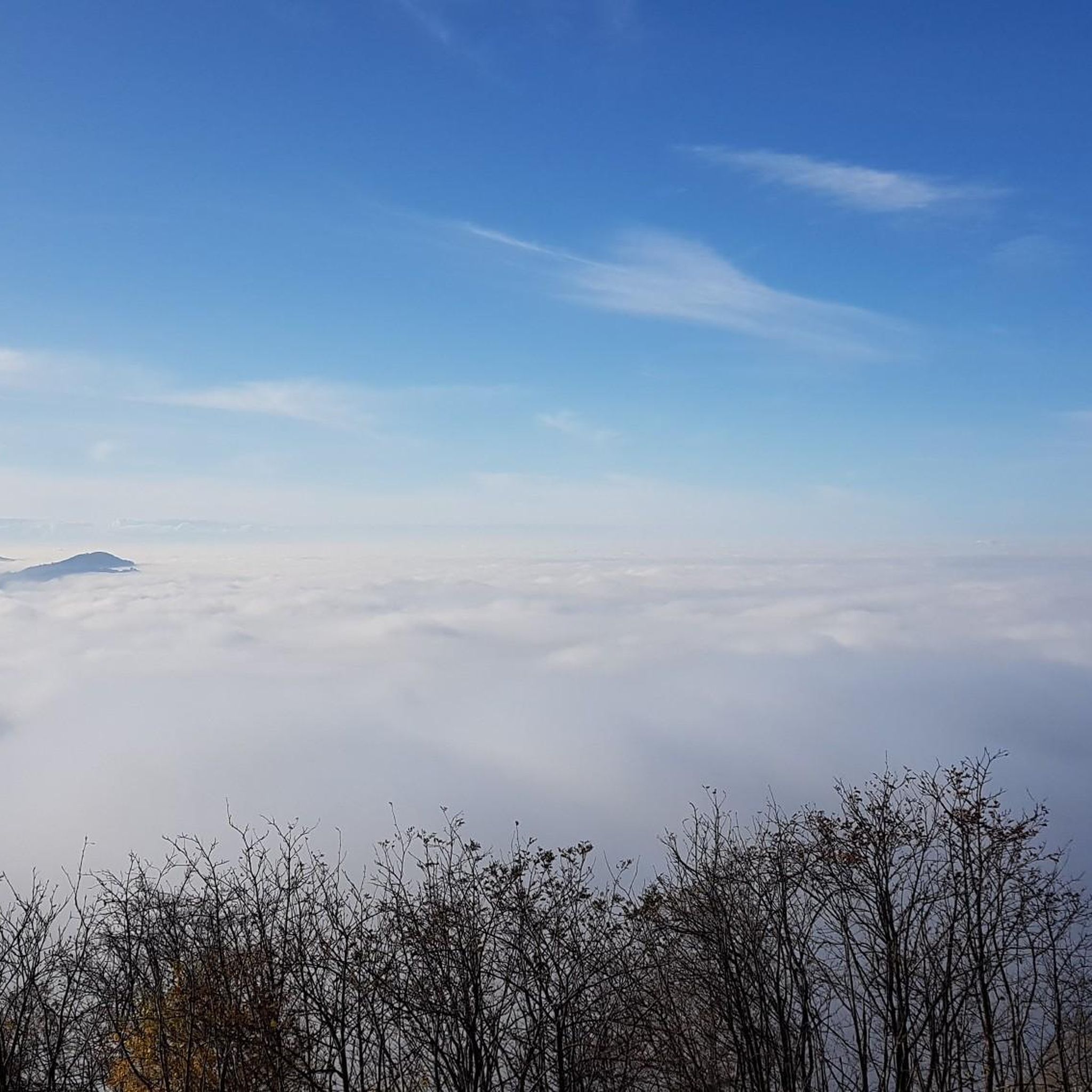
Easy hikes around Freyburg (Unstrut)

Easy hikes around Nebra (Unstrut)
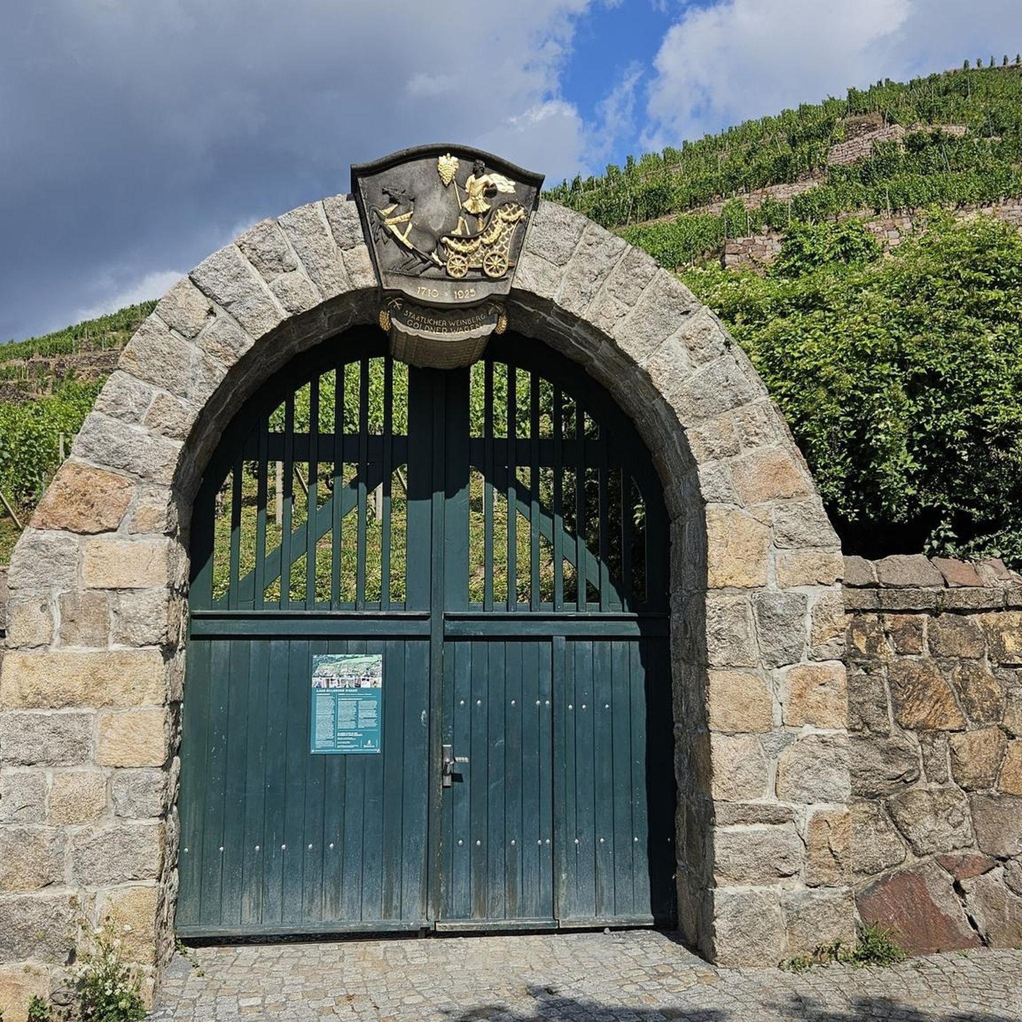
Easy hikes in Saale-Ilm-Platten Bei Bad Kösen

Easy hikes around Kaiserpfalz
Easy hikes in Memleben-Buchaer Forst
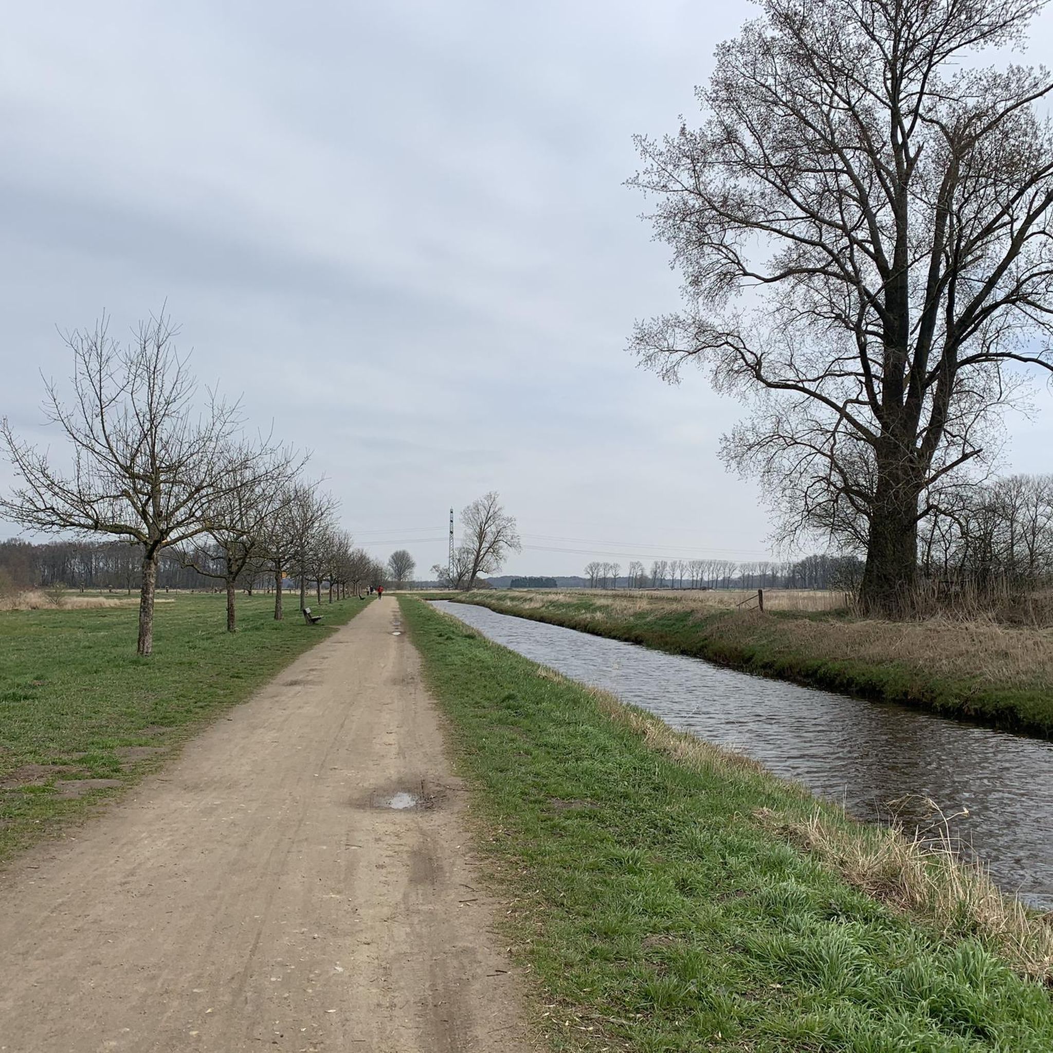
Easy hikes around Hohenmölsen

Easy hikes around Lanitz-Hassel-Tal
Other adventures in Burgenlandkreis


Tips from the Community

Beautiful hiking trail up to the Mittelberg. Follow the sun marking.
1
0


Wonderful cycle path along the vineyards near Freyburg.
0
0
At this point of the river, the current is very low and it is worth taking a dip in the summer.
0
0
my hometown is always beautiful to see
0
0
If you're lucky, you can take a guided tour at the very top of the graduation tower.
0
0

Artificial watercourse created by the monks for irrigating agriculture and fish ponds
1
0
Frequently Asked Questions
What kind of landscapes can I expect on easy hiking trails in Burgenlandkreis?
Easy hiking trails in Burgenlandkreis primarily feature scenic river valleys, particularly along the Saale and Unstrut rivers, with idyllic floodplain landscapes. You'll also find routes traversing picturesque vineyards and areas showcasing unique geological formations like sandstone and shell limestone from the Triassic period.
Are there easy hiking trails that pass by historical sites or castles?
Yes, many easy trails in Burgenlandkreis integrate historical and cultural insights. For example, the region features routes near significant castles. You can explore the area around Saaleck Castle and Rudelsburg, or enjoy views of Neuenburg Castle from trails in Freyburg.
Can I find easy hiking trails with good viewpoints in Burgenlandkreis?
Absolutely. Burgenlandkreis offers several easy trails leading to rewarding viewpoints. The View of the Unstrut Valley – Neuenburg Castle loop provides excellent panoramas. Another option is the Mittelberg Lookout Tower – Arche Nebra loop, which offers expansive views.
Are there family-friendly easy hiking options in Burgenlandkreis?
Many easy trails in Burgenlandkreis are suitable for families, offering gentle terrain and manageable distances. Routes like the Konik wild horses at Mondsee loop are particularly engaging, allowing families to observe wildlife in a natural setting.
Are dogs allowed on the easy hiking trails in Burgenlandkreis?
Generally, dogs are welcome on easy hiking trails in Burgenlandkreis. However, it's always recommended to keep them on a leash, especially in nature reserves like the Tote Täler, or near wildlife. Always be mindful of local regulations and other hikers.
Are there circular easy hiking routes available?
Yes, Burgenlandkreis has numerous circular easy hiking routes. Popular examples include the View of the Unstrut Valley – Neuenburg Castle loop and the Arche Nebra hiking trail loop, both designed for a convenient return to your starting point.
What is the best time of year to enjoy easy hikes in Burgenlandkreis?
The spring and autumn months are particularly pleasant for easy hiking in Burgenlandkreis. Spring brings blooming orchids to areas like the Orchid meadows in Tote Täler Nature Reserve, while autumn offers vibrant foliage and the region's wine harvest season, with many trails passing through vineyards.
What do other hikers say about the easy trails in Burgenlandkreis?
The easy hiking trails in Burgenlandkreis are highly regarded by the komoot community, with an average rating of 4.6 stars from over 11,800 reviews. Hikers often praise the diverse landscapes, well-maintained paths, and the combination of natural beauty with historical sights.
Are there easy trails that go through vineyards?
Yes, the Burgenlandkreis region is known for its wine-growing areas, and many easy hiking routes traverse vineyards. The View of the Burgmühle – Schweigenberge Vineyards loop is a great example, offering pleasant views and the chance to experience the local wine culture.
Are there any easy trails near lakes or other water bodies?
Yes, you can find easy trails near water bodies. The View of Mondsee loop offers pleasant walks around the lake. You can also visit highlights like the Mondsee lido Hohenmölsen or the Kurpark Pond and Gradierwerk in Bad Kösen.
What makes the easy hiking trails in Burgenlandkreis suitable for all skill levels?
The easy hiking trails in Burgenlandkreis are characterized by relatively flat terrain, minimal elevation changes, and well-marked paths. They are typically shorter in distance, making them accessible for beginners, families, and those seeking a relaxed outdoor experience without strenuous climbs.
Are there places to eat or drink near the easy hiking trails?
Given the region's wine culture and historical towns, you'll often find opportunities for refreshments near the trails. Many routes pass through or near villages and towns where you can find local taverns (Straußwirtschaften) or cafes, especially in areas known for vineyards like Freyburg.
Most popular routes in Burgenlandkreis
Most popular attractions in Burgenlandkreis

Get inspired with the komoot mobile app


Didn’t find what you were looking for?
Check out more Hikes throughout Burgenlandkreis below and find the perfect route in your destination.
Explore more
Browse the best Hikes in other regions.
