Easy hikes and walks around Breitenbrunn/Erzgebirge
4.6
(26579)
91,072
hikers
375
hikes
Easy hiking trails around Breitenbrunn/Erzgebirge lead through a picturesque landscape within the scenic Erzgebirge mountains. The region features deep green forests, idyllic river valleys, and elevated areas that offer expansive views. The Erzgebirge mountains are generally gentle and non-alpine, providing accessible routes for various fitness levels. This area is characterized by its natural beauty, making it suitable for easy hikes and family-friendly outings.
Best easy hiking trails around Breitenbrunn/Erzgebirge
- The most popular easy hiking route is Adventure Park 860 Rabenberg…
Last updated: October 17, 2026
4.6
(26)
104
hikers
6.75km
01:53
130m
130m
Easy hike. Great for any fitness level. Easily-accessible paths. Suitable for all skill levels.
4.7
(35)
97
hikers
5.23km
01:31
140m
140m
Easy hike. Great for any fitness level. Easily-accessible paths. Suitable for all skill levels.

4.4
(27)
103
hikers
Easy hike. Great for any fitness level. Easily-accessible paths. Suitable for all skill levels.
4.7
(20)
71
hikers
5.04km
01:27
120m
120m
Easy hike. Great for any fitness level. Easily-accessible paths. Suitable for all skill levels.
4.9
(8)
50
hikers
Easy hike. Great for any fitness level. Easily-accessible paths. Suitable for all skill levels.
Get access to more routes and recommendations from other explorers.
Already have an account?
Our route recommendations are based on thousands of hikes, rides, and runs completed by other people on komoot.
Start today with a free account
Your next adventure awaits.
Popular around Breitenbrunn/Erzgebirge

History meets nature – Erzgebirge-Vogtland Ridge Trail
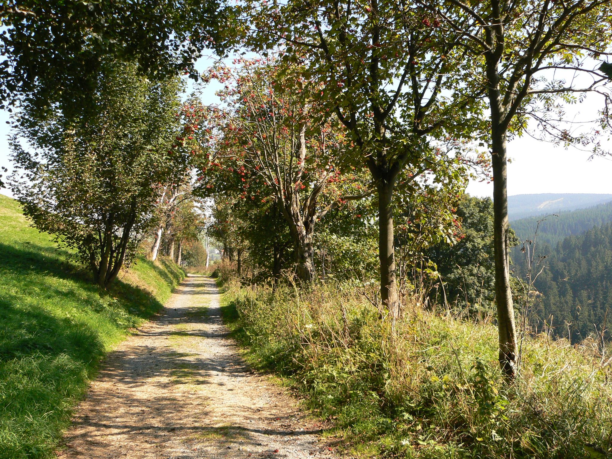
The Anton-Günther-Trail — a long weekend in the Ore Mountains
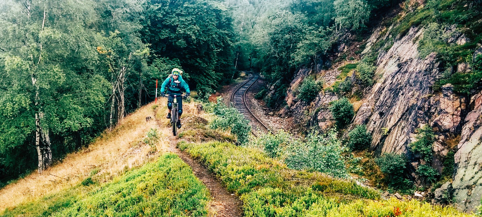
Kammweg Erzgebirge – Border adventure along the Ridgeway

The Stoneman Trail in the Ore Mountains
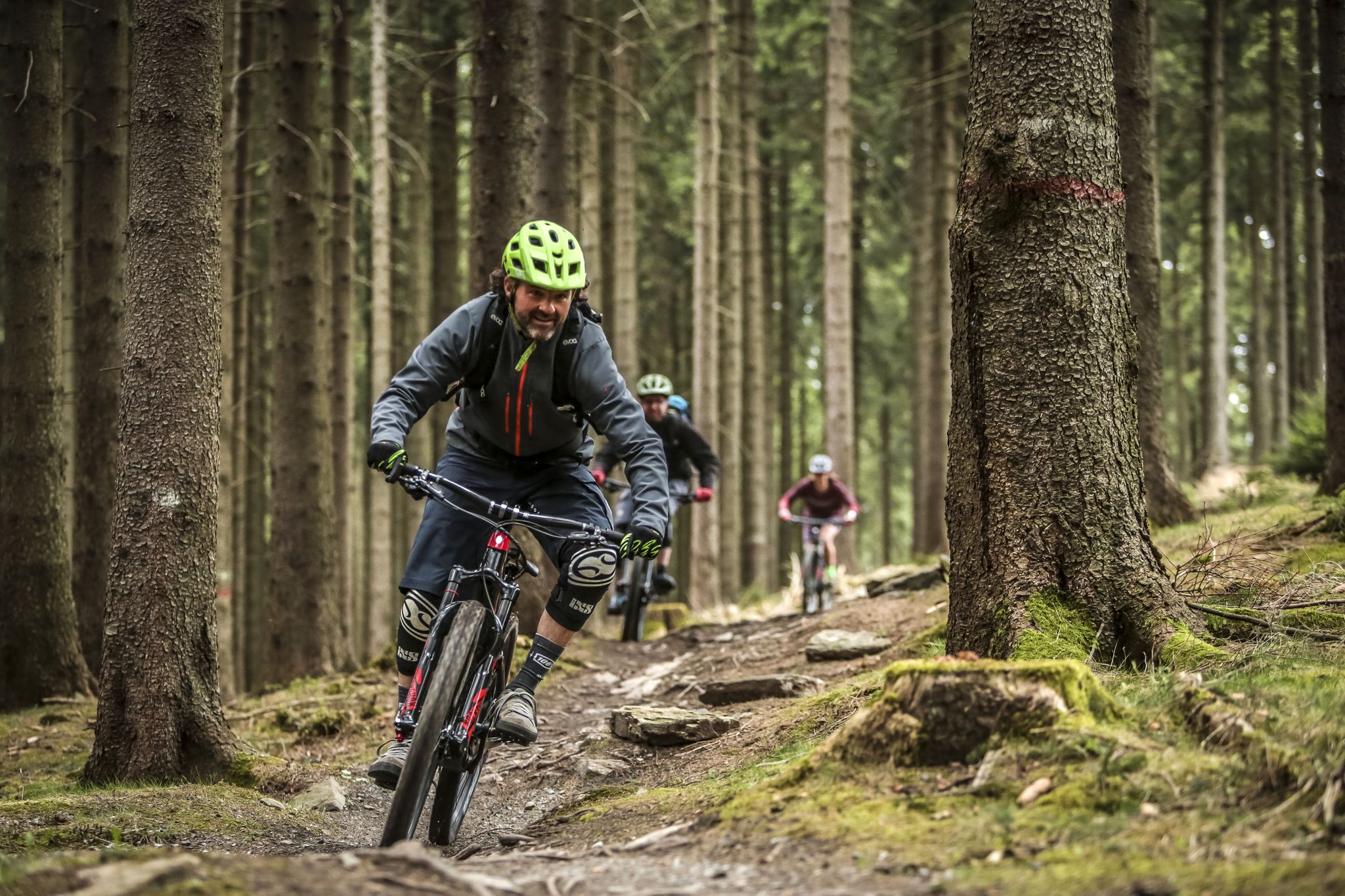
MTB adventures in Saxony
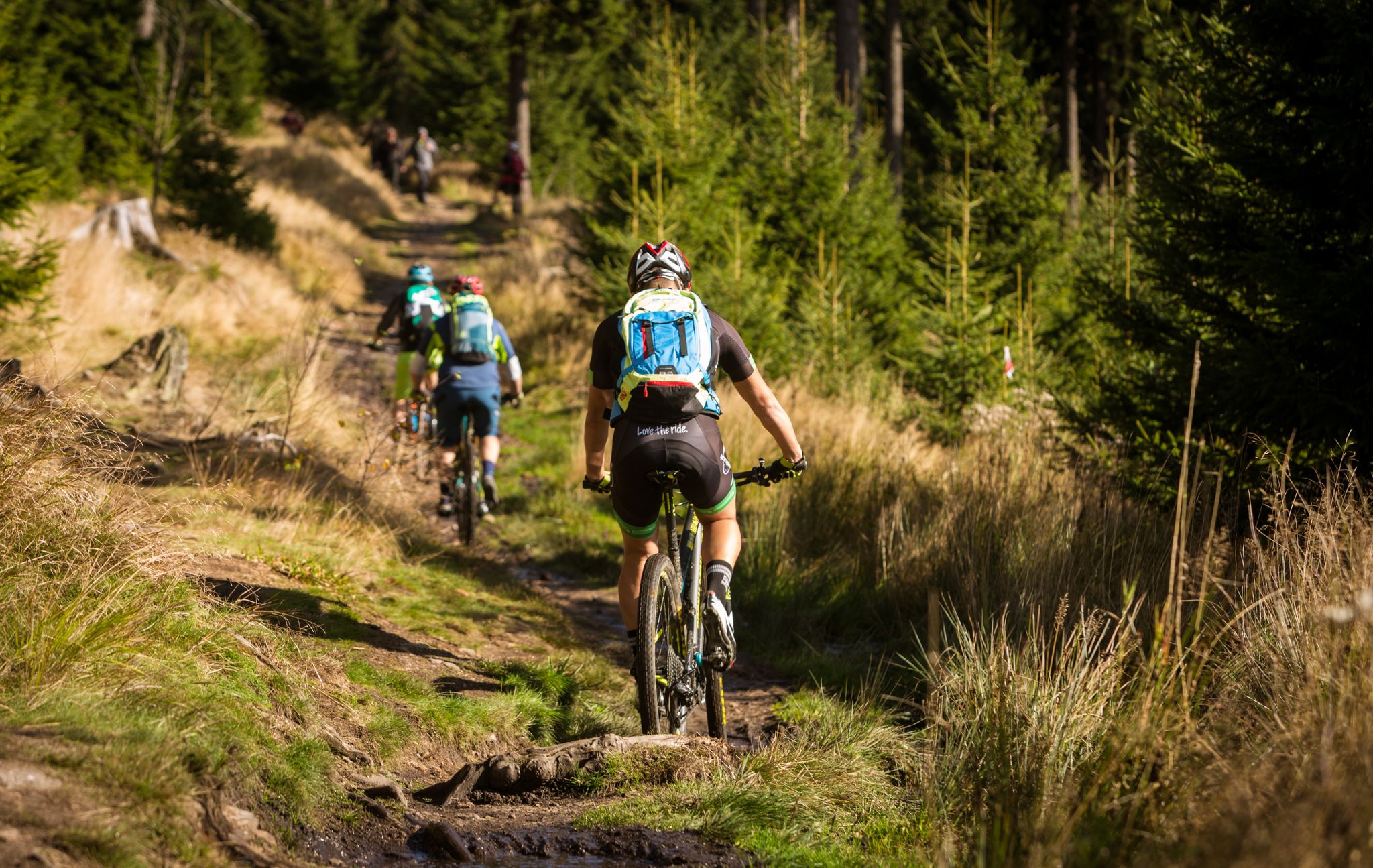
Stoneman Miriquidi MTB Gesamtstrecke (2 Tage -Silber)
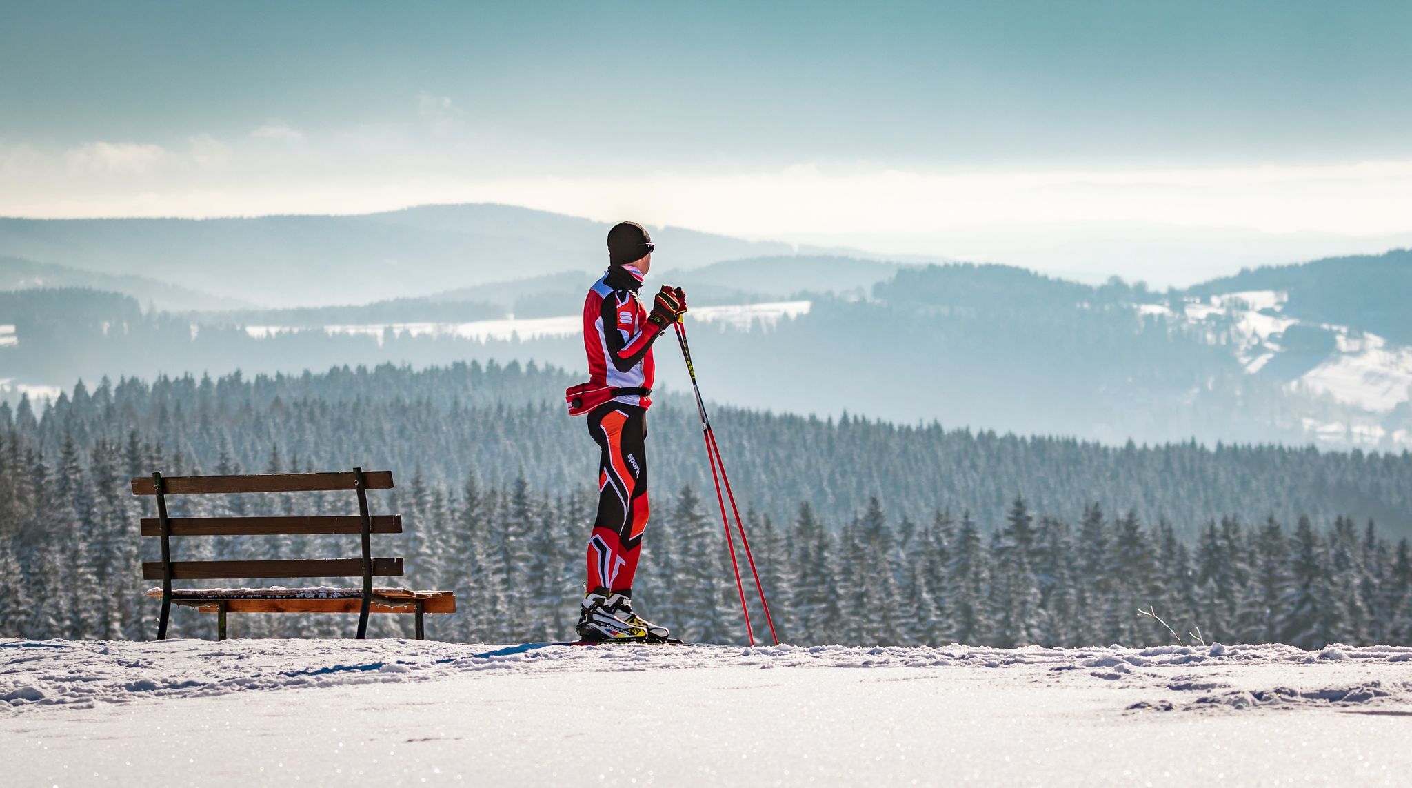
Let it flow! Cross-country skiing in the Ore Mountains

Bike parks in the heart of Germany

Wandertouren - Eisenbahn & Wanderstock

Wandertouren - Gipfelglück
Other adventures around Breitenbrunn/Erzgebirge


Tips from the Community

The climbing area consists of the Teufelsstein and the Teufelsstein massif. The Teufelsstein massif consists of six sectors: A Sector: Upper Teufelsstein massif B Sector: Teufelsmauer C Sector: Kleine Teufelswand D Sector: Pferdefuß E Sector: Teufelchen F Sector: Steinbachturm The "Naturlehrpfad Steinbachtal", which provides information about geological conditions and rare plants and animals, and the Kammweg Erzgebirge–Vogtland trail pass by the Teufelssteinen.
0
0
Numerous hiking trails surround the Rabenberg, inviting you to explore the beautiful Ore Mountains mining region. The newly certified Kammweg (ridge trail) and the traditional Anton-Günther-Weg (Anton Günther Trail) pass almost directly by the house. Shorter circular hiking trails also offer opportunities to discover the Ore Mountains more closely, always offering spectacular views.
0
0
During the time of grazing, the watering trough served to water the villagers' livestock driven into the forest. Today, the spot is primarily used as a shady resting place for hikers and forestry workers. In summer, countless caddisfly larvae inhabit the spring water of the trough. In winter, a circular cross-country ski trail starting at the Rabenberg sports park is named after the trough. The watering trough at Rabenberg is already mentioned in the timber and forestry regulations of Elector August of Saxony from 1560. From the wayside cross at the gallows wing, not far from the watering trough, the Tränktrögelweg (Watering Trough Trail) leads down to the houses of Neue Sorge and Rabenberger Straße in Breitenbrunn, continuing as an extension of the Oberdörfer Flügel trail coming from Johanngeorgenstadt.
1
0
The "Rundteil" shelter (893 m above sea level) is located directly at the Rabenberg trailhead, in the Neudorf forest district. Information boards with details of the trail sections and difficulty levels complement the clean and well-maintained rest area. Excellent and comprehensive signage for the trails and hiking paths.
0
0

What a beautiful landscape!
0
0

The whole-mile column is now located in the town center on a traffic island at the entrance to the Erlabrunn Clinics. Its original location was probably near the train station building opposite the Nonnenfelsen rock. The Electorate of Saxony postal mile column is part of a historic postal and road network dating back to the 18th century. This column was erected as part of the Electorate of Saxony's postal regulations of 1721 to indicate distances on postal and trade routes. The columns were intended to indicate quarter-mile, half-mile, or whole-mile distances on the routes. One Electorate of Saxony mile corresponded to 9.062 km. The columns indicated distances and walking times, often accurate to one-eighth of an hour.
0
0
The mountain is located in Schwarzenberg/Erzgebirge and is 643 meters high. The Hirschstein is located near the Bermsgrün district and the village of Erla. Due to the dense forest, there is no direct access to the summit.
0
0
Beautifully situated right next to the Teufelssteine, a great resting place.
0
0
Frequently Asked Questions
How many easy hiking trails are available in Breitenbrunn/Erzgebirge?
There are over 120 easy hiking trails around Breitenbrunn/Erzgebirge, offering a wide variety of options for relaxed walks through the scenic landscape.
What kind of terrain can I expect on easy hikes around Breitenbrunn/Erzgebirge?
The easy hikes in Breitenbrunn/Erzgebirge generally feature gentle, non-alpine terrain. You'll find yourself walking through deep green forests, idyllic river valleys, and some elevated areas that provide expansive views. The paths are accessible for various fitness levels.
Are there easy hikes with good viewpoints in Breitenbrunn/Erzgebirge?
Yes, several easy trails offer impressive vistas. For example, the Himmelswiese – Rondell Shelter loop from Rabenberg provides pleasant views. The region is known for elevated areas offering glimpses of the Fichtelberg mountain and panoramic scenes from spots like Pasterle Rock.
What natural attractions can I see along easy hiking trails in Breitenbrunn/Erzgebirge?
The region is rich in natural beauty. You might encounter natural monuments, serene river valleys, and dense woodlands. For a notable natural feature, consider visiting the Blauenthal Waterfall, which can be incorporated into some hiking routes.
Are there family-friendly easy hikes in Breitenbrunn/Erzgebirge?
Absolutely. The gentle and non-alpine nature of the Erzgebirge mountains makes many trails ideal for families. Routes like the Adventure Park 860 Rabenberg – Rondell Shelter loop from Rabenberg are suitable for a pleasant family outing.
Can I find circular easy hiking routes in Breitenbrunn/Erzgebirge?
Yes, circular routes are popular and readily available. The Hirschenstein – Schlangenweg Trail Junction loop from Hoher Hahn is a great example of an easy circular path that takes you through tranquil woodlands.
What do other hikers enjoy most about the easy trails in Breitenbrunn/Erzgebirge?
The easy trails in Breitenbrunn/Erzgebirge are highly rated by the komoot community, with an average score of 4.6 stars from over 2,600 reviews. Hikers often praise the tranquil experience through woodlands, the well-marked paths, and the accessible nature of the routes, making them enjoyable for various fitness levels.
Are there any historical or cultural points of interest along easy hikes?
Yes, the region has a rich mining history. While hiking, you might come across sites like the Halbmeiler, which offers cultural and historical insights through information boards. Some routes may also lead near visitor mines or museums, such as the St. Christoph visitor mine or the Hexenhäusel museum mentioned along the Panoramaweg.
What is the best time of year for easy hiking in Breitenbrunn/Erzgebirge?
The Erzgebirge region is beautiful year-round. Spring and summer offer lush greenery and pleasant temperatures, while autumn provides stunning foliage. Even in winter, many easy trails are accessible for snowshoeing or winter walks, offering a serene, snow-covered landscape.
Are there options for refreshments or accommodation near the easy hiking trails?
Yes, the well-developed network of trails in the Erzgebirge is often complemented by charming inns and taverns where you can find refreshments. The region also offers various accommodation options for hikers.
Is public transport available to reach trailheads for easy hikes?
While specific public transport connections to every trailhead can vary, Breitenbrunn/Erzgebirge is generally accessible. It's advisable to check local bus schedules for connections to villages or starting points of specific routes. Many trails are also easily reached by car, with parking often available.
Can I bring my dog on the easy hiking trails in Breitenbrunn/Erzgebirge?
Most easy hiking trails in Breitenbrunn/Erzgebirge are dog-friendly, allowing you to enjoy the natural beauty with your canine companion. Always keep your dog on a leash, especially in nature reserves or near wildlife, and ensure you clean up after them.
Are there any long-distance trails that pass through Breitenbrunn/Erzgebirge suitable for sections of easy hiking?
Yes, the renowned Kammweg Erzgebirge – Vogtland, a certified quality trail, passes almost directly through Breitenbrunn. While the full trail is long, you can easily enjoy shorter, easier sections of it, experiencing unspoiled nature and beautiful scenery. More information can be found on the Erzgebirge Tourism website.
Most popular routes around Breitenbrunn/Erzgebirge
Most popular attractions around Breitenbrunn/Erzgebirge

Get inspired with the komoot mobile app


Explore more
Browse the best Hikes in other regions.
