Easy hikes and walks around Burkardroth
4.6
(830)
3,133
hikers
168
hikes
Easy hiking trails around Burkardroth are set within the Bavarian Rhön Nature Park, an area characterized by rolling hills, dense forests, and clear streams. The landscape features a mix of flowering meadows and varied woodlands, providing diverse scenery for outdoor activities. Elevations are generally moderate, with some routes offering views from higher points like the Himmeldunkberg.
Best easy hiking trails around Burkardroth
- The most popular easy hiking route is Eisernes Kreuz parking area – View from Feuerberg loop from Schwarze…
Last updated: July 5, 2026
4.8
(46)
176
hikers
Easy hike. Great for any fitness level. Easily-accessible paths. Suitable for all skill levels.
4.5
(19)
115
hikers
Easy hike. Great for any fitness level. Easily-accessible paths. Suitable for all skill levels.

Sign up for free
4.7
(18)
79
hikers
Easy hike. Great for any fitness level. Easily-accessible paths. Suitable for all skill levels.
4.7
(15)
56
hikers
Easy hike. Great for any fitness level. Easily-accessible paths. Suitable for all skill levels.
4.6
(7)
21
hikers
6.40km
01:49
140m
140m
Easy hike. Great for any fitness level. Easily-accessible paths. Suitable for all skill levels.
Get access to more routes and recommendations from other explorers.
Sign up for free
Already have an account?
Our route recommendations are based on thousands of hikes, rides, and runs completed by other people on komoot.
Start today with a free account
Your next adventure awaits.
Login or Signup
Popular around Burkardroth

Stages of the HOCHRHÖNER Premium Hiking Trail

Extra tours South - Excellent premium hiking trails of the Rhön

Discover Rhön - Half-day tours through the biosphere reserve

Hike Germany’s Rhön Mountains on the Hochrhöner Trail

Hiking in the Rhön Mountains where nature and history combine
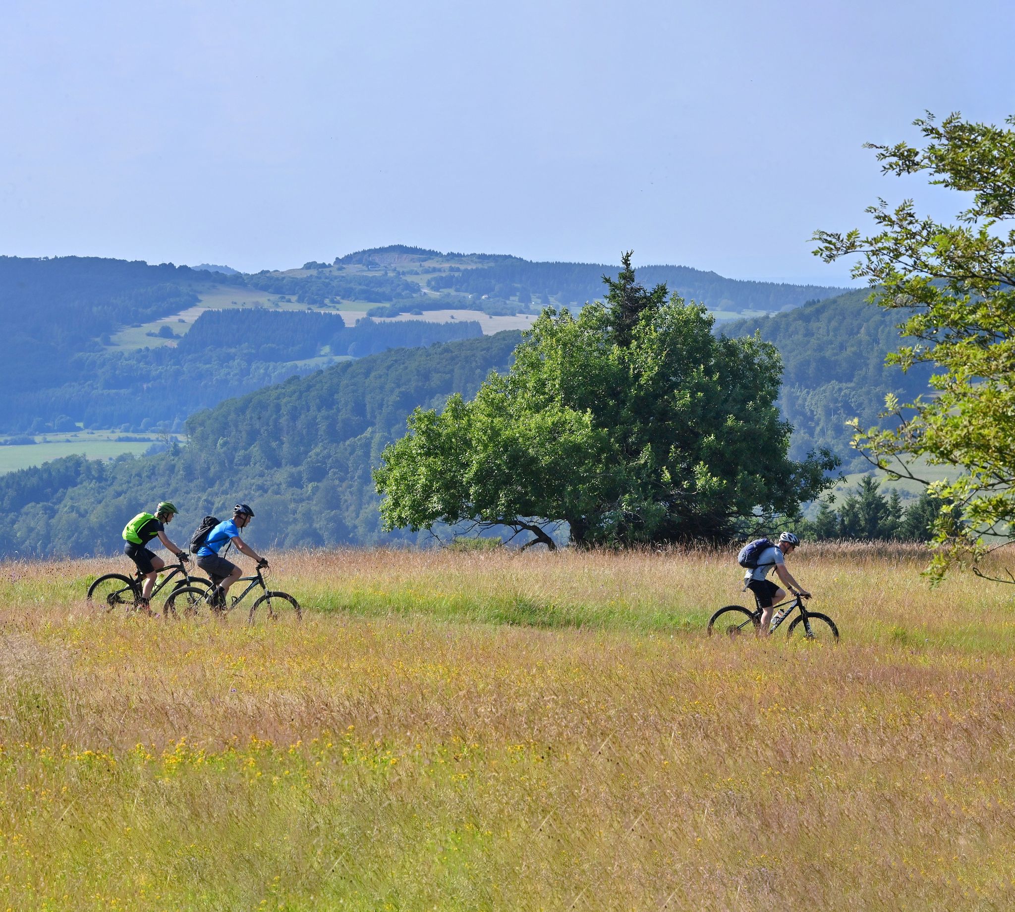
Mountain bike routes in the Rhön
Other adventures around Burkardroth


Tips from the Community

Starting point for beautiful hikes in the Black Mountains and Fire Mountain
1
0

Wayside cross - crucifix on pedestal with inscription, sandstone, marked "1887"
0
0
Opposite the Premich fire department is this beautiful rest area with a fountain and sweetgum. The botanical genus name of the sweetgum is derived from the Latin word liquidus, meaning liquid, and the Arabic word عنبر / ʿanbar, meaning amber. The name Liquidambar thus means liquid amber, with amber being fossilized tree resin. The Arabic name anbar evolved into Middle Latin ambar, Middle French ambre, and English amber, meaning amber. In light of climate change and the associated summer droughts, attempts have been made for several years to establish the sweetgum as a drought-tolerant urban tree. (Wikipedia)
0
0

A nice place to linger 😇
1
0

Beautiful Wader parking lot
4
0

I really hope the hut will be rebuilt 😫 https://osthessen-news.de/n11773753/kissinger-huette-steht-in-flammen-buergermeisterin-reubelt-mir-blutet-das-herz.html
1
0
At that time, parking here was free.
4
0
Nice playground
1
0
Frequently Asked Questions
How many easy hiking trails are available around Burkardroth?
Burkardroth offers a wide selection of easy hiking trails, with over 100 routes specifically categorized as easy. In total, there are more than 170 hiking routes in the area, catering to various preferences and fitness levels.
What kind of landscapes can I expect on easy hikes in Burkardroth?
Easy hikes around Burkardroth traverse the picturesque Bavarian Rhön Nature Park, characterized by rolling hills, dense mixed forests, and clear streams. You'll encounter flowering meadows, varied woodlands, and moderate elevations, providing diverse and scenic views.
Are there any easy circular hiking routes in Burkardroth?
Yes, many easy trails in Burkardroth are circular, allowing you to start and end at the same point. An example is the Eisernes Kreuz parking area – Carved Rhön Trail Marker loop from Schwarze Berge, which is 6 km long and offers gentle gradients through the Schwarze Berge area.
What are some notable landmarks or attractions I can see on easy hikes?
You can discover several interesting features. For instance, the Kaskadental gorge offers a unique natural experience. The Kreuzbergsattel is another point of interest, and the Aschach Gorge provides a scenic route. The region also features historical sites like Aschach Castle, accessible via paths through woodlands and villages.
Are there family-friendly easy hikes in Burkardroth?
Absolutely. Burkardroth is well-suited for families, with many easy trails designed for all ages. The region's diverse natural settings, including flowering meadows and clear streams, make for engaging walks. The Nature Discovery Trail "Wilde Rhön" is specifically designed to be child-friendly, allowing younger hikers to learn about local flora and fauna.
Can I bring my dog on the easy hiking trails?
Most easy hiking trails in Burkardroth are dog-friendly, allowing you to enjoy the natural beauty with your canine companion. It's always recommended to keep dogs on a leash, especially in nature reserves or areas with wildlife, and to respect local regulations.
What is the best time of year for easy hiking in Burkardroth?
The best seasons for easy hiking in Burkardroth are spring and autumn. In spring, nature is in full bloom, offering vibrant colors, while autumn transforms the landscape with colorful foliage. Both seasons provide pleasant temperatures for exploring the trails.
Are there any easy hikes that offer panoramic views?
Yes, several easy hikes provide excellent viewpoints. The Himmeldunkberg, at almost 888 meters, offers impressive panoramic views, and while some routes to its summit are more challenging, there are easier sections or trails that provide glimpses of the expansive landscape. The Wooden Eagle Sculpture – View from Feuerberg loop from Schwarze Berge also provides views over the landscape from the Feuerberg area.
What do other hikers say about the easy trails in Burkardroth?
The easy trails in Burkardroth are highly rated by the komoot community, with an average score of 4.7 stars from over 700 reviews. Hikers often praise the well-maintained paths, the peaceful atmosphere of the mixed forests, and the diverse scenery of the Rhön Nature Park.
Are there options for food and drink along or near easy hiking routes?
Yes, the region offers opportunities for refreshments. The Kreuzberg Monastery, a highlight along some hiking trails, is known for its brewery where you can enjoy traditional Franconian specialties. Additionally, small villages along various routes may offer local eateries or cafes.
Where can I park for easy hikes in Burkardroth?
Many trailheads for easy hikes in Burkardroth, such as the starting point for the Eisernes Kreuz parking area – View from Feuerberg loop from Schwarze Berge, offer designated parking areas. It's advisable to check the specific route details for parking information at the trailhead.
What is the typical terrain like on easy hikes in Burkardroth?
The terrain on easy hikes in Burkardroth generally consists of well-maintained paths through rolling hills and dense forests. While there are moderate elevations, the gradients are typically gentle, making them accessible for most fitness levels. You can expect a mix of forest paths, open meadows, and sometimes gravel tracks.
Most popular routes around Burkardroth
Most popular attractions around Burkardroth

Get inspired with the komoot mobile app


Explore more
Browse the best Hikes in other regions.
