Easy hikes and walks around Breitenbach am Herzberg
4.6
(2011)
7,142
hikers
60
hikes
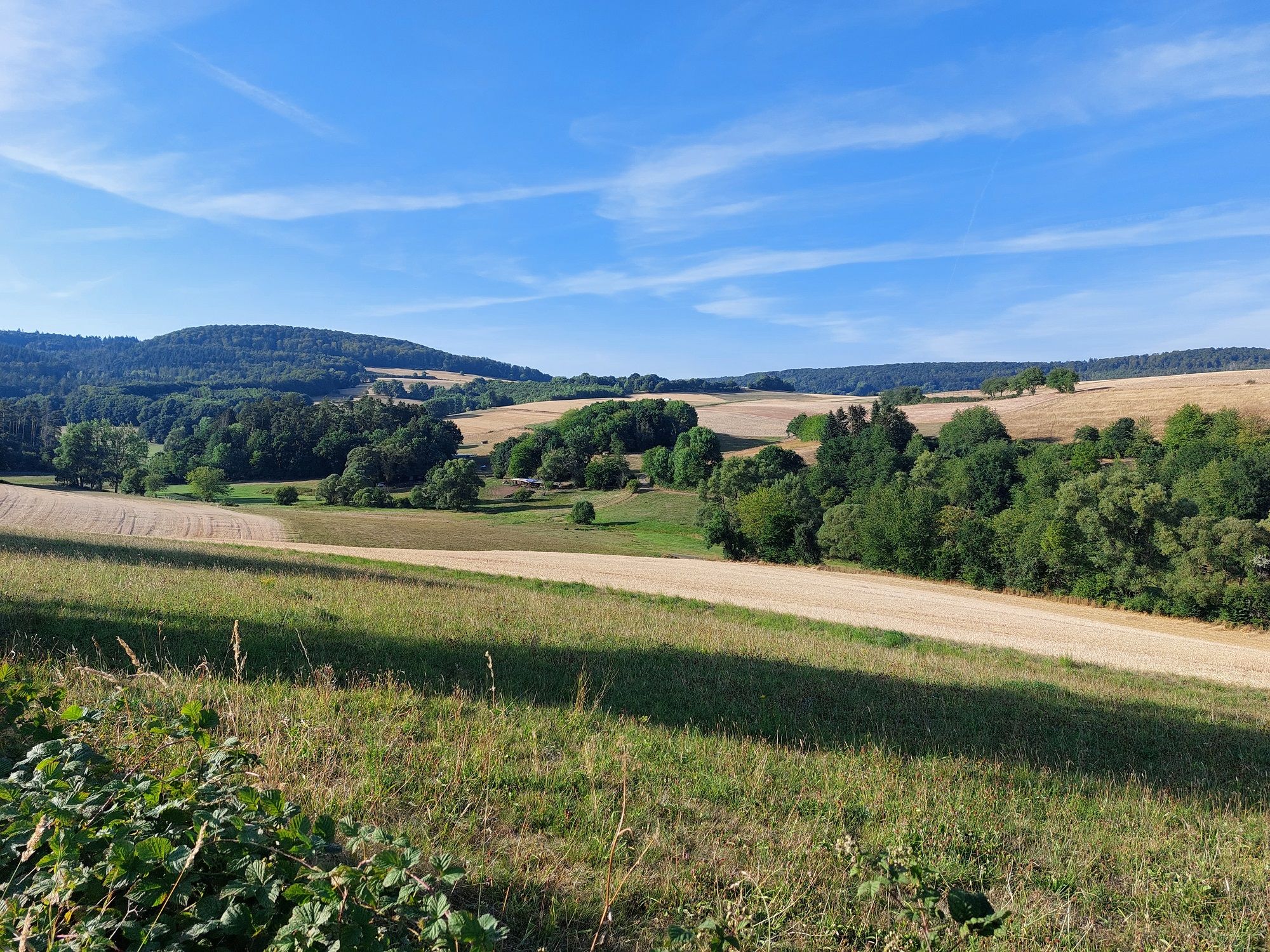
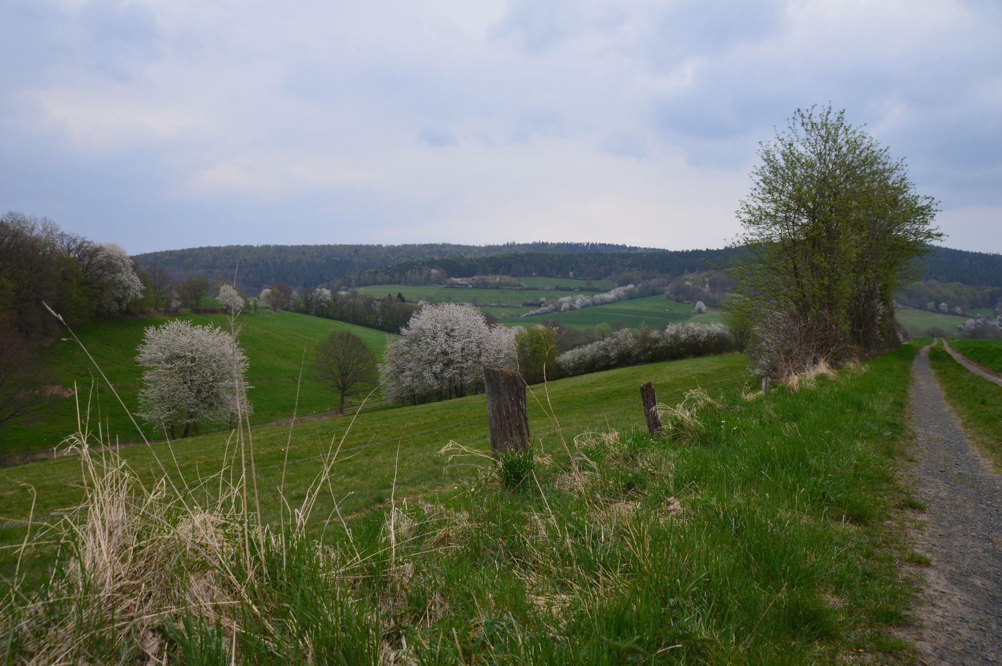
Easy hiking trails around Breitenbach am Herzberg traverse a landscape characterized by rolling hills, dense forests, and scenic valleys within the southern Knüllgebirge mountain range. The area features elevations ranging from 234 meters in the Jossa valley to 529 meters on the slopes of the Rimberg. Valleys carved by brooks like the Labach and Breitenbach offer varied terrain, from gentle paths to moderate ascents. The region also includes notable geological features such as the Melaphyre Vein.
Best easy hiking trails around Breitenbach am Herzberg
- The most popular easy hiking route is Herzberg Castle – View of Herzberg Castle loop from Burg Herzberg, a 3.3 miles (5.3 km) trail that takes 1 hour 33 minutes to complete. This route offers views of the historic Herzberg Castle.
- Another top favourite among local hikers is View of Herzberg Castle – Herzberg Castle loop from Burg Herzberg, an easy 4.1 miles (6.6 km) path. This trail provides expansive vistas of the surrounding area and passes by the castle.
- Local hikers also love the Herzberg Castle – Chapel at Herzberg Castle loop from Burg Herzberg, a 4.0 miles (6.5 km) trail leading through forested areas and past historical points, often completed in about 1 hour 53 minutes.
- Hiking around Breitenbach am Herzberg is defined by rolling hills, dense woodlands, and scenic valleys. The network offers options for various ability levels, with 35 easy hiking trails available.
- The routes in Breitenbach am Herzberg are highly rated by the komoot community with an average score of 4.7 stars from over 370 reviews. More than 1,200 hikers have used komoot to explore Breitenbach am Herzberg's varied terrain.
Last updated: June 30, 2026
4.0
(9)
24
hikers
4.91km
01:26
140m
140m
Easy hike. Great for any fitness level. Easily-accessible paths. Suitable for all skill levels.
4.5
(17)
45
hikers
6.55km
01:49
120m
120m
Easy hike. Great for any fitness level. Easily-accessible paths. Suitable for all skill levels.

Sign up for free
10
hikers
6.86km
01:59
170m
170m
Easy hike. Great for any fitness level. Easily-accessible paths. Suitable for all skill levels.
4.7
(3)
15
hikers
3.89km
01:09
110m
110m
Easy hike. Great for any fitness level. Easily-accessible paths. Suitable for all skill levels.
4.5
(10)
10
hikers
Easy hike. Great for any fitness level. Easily-accessible paths. Suitable for all skill levels.
Get access to more routes and recommendations from other explorers.
Sign up for free
Already have an account?
Our route recommendations are based on thousands of hikes, rides, and runs completed by other people on komoot.
Start today with a free account
Your next adventure awaits.
Login or Signup
Popular around Breitenbach am Herzberg
Other adventures around Breitenbach am Herzberg

Tips from the Community

Benches around the Pilgerkreuz invite you to rest and inner contemplation.
0
0
Parking for guests of the Burgschänke. Campers can also find a pitch here for a fee.
0
0
Small bench for a short rest before heading up to the castle.
0
0

The Herzberg Castle in Breitenbach in the Hersfeld-Rotenburg district was built by Marshall von Romrod in 1280/90 on the Herzisberg (Hirschberg) at an elevation of 506 meters as the largest hilltop castle in Hesse. In 1477, the castle was expanded by Hans von Dörnberg and became a fief of Landgrave Henry III. The castle was occupied by the French until 1763. The castle remains in the possession of the Barons von Dörnberg to this day.
1
0
The pilgrim's cross standing in front of Herzberg Castle is the sun cross of Oberjossa, which originally crowned the gable of the demolished church. It was consecrated on April 21, 2024.
0
0

Unfortunately, the owner has banned entry. Still nice to look at
0
0

The highest point on the Lutherweg1521 - here pilgrims can lay down a stone.
1
0

Arrived at the highest point of the Luther Trail
0
0
Frequently Asked Questions
How many easy hiking trails are available around Breitenbach am Herzberg?
There are over 35 easy hiking trails around Breitenbach am Herzberg, offering a variety of landscapes from rolling hills to dense forests and scenic valleys. The region provides numerous options for enjoyable outdoor experiences.
What makes the easy hiking trails around Breitenbach am Herzberg unique?
The easy trails in Breitenbach am Herzberg are unique for their picturesque blend of rolling hills, dense forested areas, and scenic valleys within the southern Knüllgebirge mountain range. You'll find paths along brooks like the Labach and Breitenbach, and even unique geological features such as the Melaphyre Vein. Many routes also incorporate historical sites and offer panoramic viewpoints.
Are there easy circular hiking routes in Breitenbach am Herzberg?
Yes, many of the easy trails are circular routes, perfect for a convenient day out. For example, the Herzberg Castle – View of Herzberg Castle loop from Burg Herzberg is a popular easy circular trail that offers views of the historic castle.
What historical sites can I see on easy hikes around Breitenbach am Herzberg?
Many easy hikes in the area pass by significant historical sites. The impressive 16th-century Herzberg Castle is a prominent feature on several routes, including the Herzberg Castle – Chapel at Herzberg Castle loop from Burg Herzberg. You might also encounter sites like Pfifferling Castle or St. George's Church, adding a cultural dimension to your walk.
Are there any short, easy walks suitable for beginners or quick outings?
Absolutely. For a shorter, easy walk, consider the Hof GuhnStadt – Herzberg Castle loop from Burg Herzberg. This trail is just under 4 km and can be completed in about an hour, making it ideal for a quick and accessible outdoor experience.
What is the best time of year for easy hikes in Breitenbach am Herzberg?
Spring and autumn are particularly beautiful seasons for easy hiking in Breitenbach am Herzberg. In spring, wildflowers bloom along the trails, while autumn transforms the forests with vibrant colors, creating a stunning backdrop for your walks.
Can I find easy trails with scenic viewpoints in the region?
Yes, the area is known for its panoramic vistas. Many easy trails lead to breathtaking viewpoints, such as those offering views of Herzberg Castle or the surrounding countryside from Mount Herzberg. You can also visit the Heussner Tower on the Mengshäuser Kuppe or the Ibraer Kuppe Shelter and Viewpoint for expansive views.
What do other hikers enjoy most about hiking in Breitenbach am Herzberg?
The area is highly rated by the komoot community, with an average score of 4.7 stars from over 370 reviews. Hikers often praise the well-maintained paths, the diverse natural beauty of the rolling hills and forests, and the historical points of interest like Herzberg Castle that enrich the hiking experience.
Are there any easy trails that are less crowded?
While popular routes like those around Herzberg Castle can see more visitors, the extensive network of 35 easy trails means you can often find quieter paths. Exploring routes slightly further from the main attractions, such as the Museum on the Luther Trail Oberjossa – Hollers Ruh loop from Breitenbach am Herzberg, might offer a more serene experience.
Are there any easy trails that pass by interesting natural features?
Yes, the region boasts unique natural features. Some trails traverse valleys carved by brooks like the Labach and Breitenbach, offering varied terrain. The area is also known for its geological formations, including the Melaphyre Vein, which can be explored on dedicated hiking loops.
What kind of terrain can I expect on easy hikes around Breitenbach am Herzberg?
Easy hikes around Breitenbach am Herzberg typically feature a mix of gentle paths through rolling hills, forested areas, and scenic valleys. While generally accessible, some routes may include moderate ascents, offering a pleasant variety without being overly strenuous.
Are there any easy trails that offer views of the surrounding mountain ranges?
Yes, several easy trails provide expansive views of the surrounding mountain ranges. The 'Höhenweg' (High Trail), for instance, offers distant views that can stretch as far as the nearby Palatinate on clear days, allowing you to appreciate the broader landscape of the Knüllgebirge.
Most popular routes around Breitenbach am Herzberg
Most popular attractions around Breitenbach am Herzberg

Get inspired with the komoot mobile app


Explore more
Browse the best Hikes in other regions.
