Easy hikes and walks around Reichshof
4.6
(2600)
8,730
hikers
357
hikes
Easy hiking trails around Reichshof traverse a landscape characterized by rolling hills, dense forests, and picturesque villages within the Bergisches Land. The region features significant natural elements such as the Wiehltalsperre, a drinking water reservoir, and unique juniper heaths. This varied terrain offers numerous opportunities for outdoor activities, with manageable elevation gains suitable for various fitness levels.
Best easy hiking trails around Reichshof
- The most popular easy hiking route is Wacholderweg Eckenhagen Trail, a 3.5 miles (5.6 km) trail…
Last updated: October 6, 2026
4.7
(314)
939
hikers
5.60km
01:36
140m
140m
Easy hike. Great for any fitness level. Easily-accessible paths. Suitable for all skill levels.
4.7
(60)
184
hikers
Easy hike. Great for any fitness level. Easily-accessible paths. Suitable for all skill levels.

4.6
(57)
179
hikers
6.14km
01:41
100m
90m
Easy hike. Great for any fitness level. Easily-accessible paths. Suitable for all skill levels.
4.5
(72)
240
hikers
Easy hike. Great for any fitness level. Easily-accessible paths. Suitable for all skill levels.
4.7
(42)
195
hikers
Easy hike. Great for any fitness level. Easily-accessible paths. Suitable for all skill levels.
Get access to more routes and recommendations from other explorers.
Already have an account?
Our route recommendations are based on thousands of hikes, rides, and runs completed by other people on komoot.
Start today with a free account
Your next adventure awaits.
Popular around Reichshof
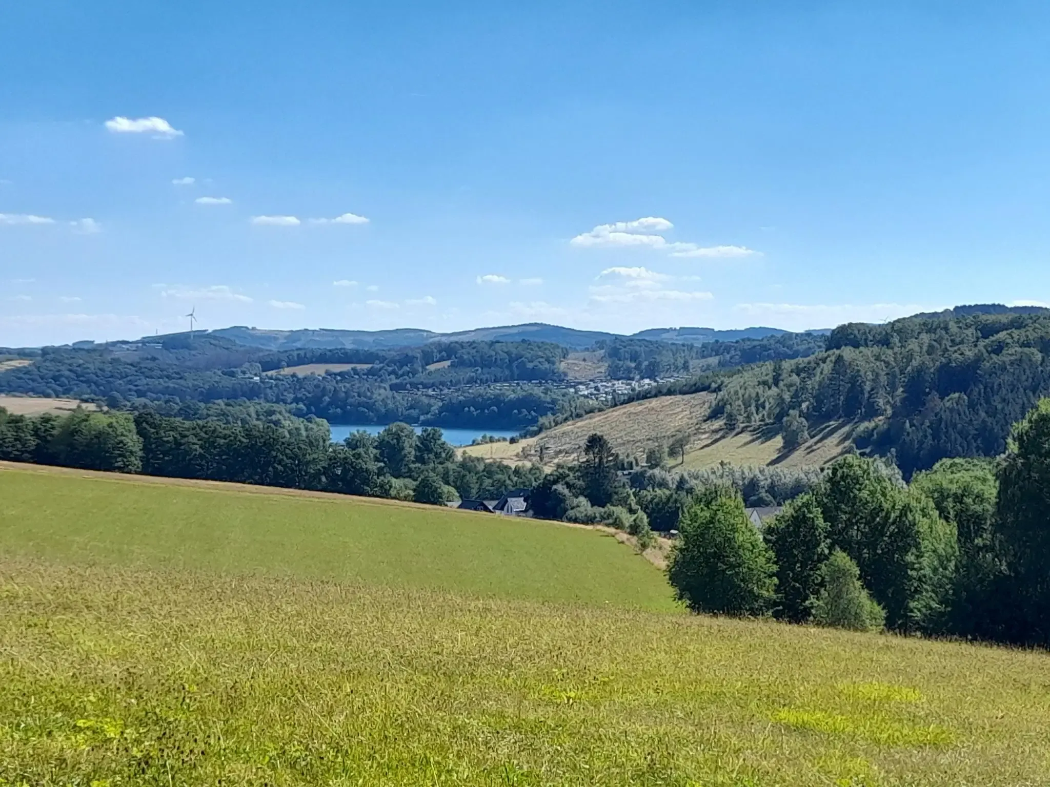
The big D: forest paths and water views in southern Sauerland
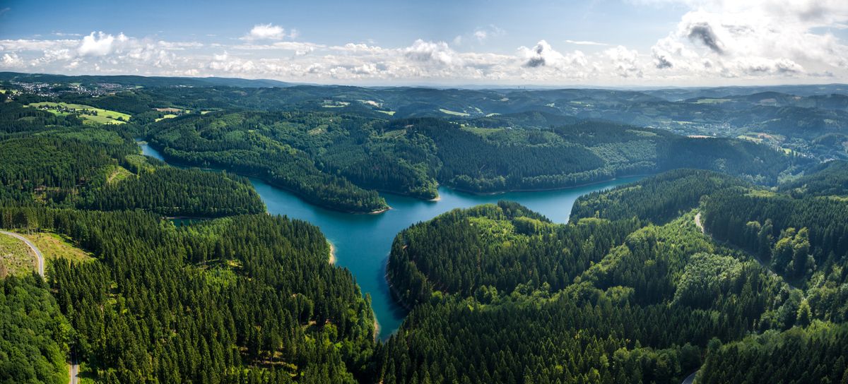
A long-distance hike with spectacular views – Bergischer Panoramasteig
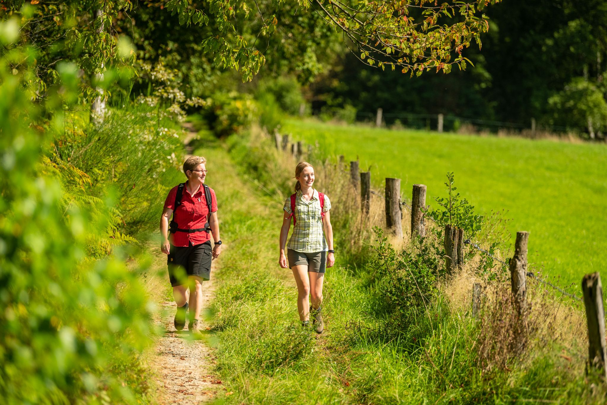
Bergische Rambles – themed and adventure trails in the Bergisches Land region

Hike and indulge in regional delights in Bergisches Land

River dams in Germany’s Bergisches Land
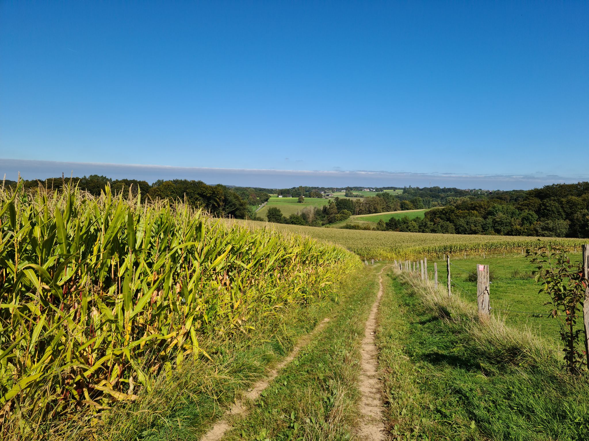
Rambles and hikes in Bergisches Land
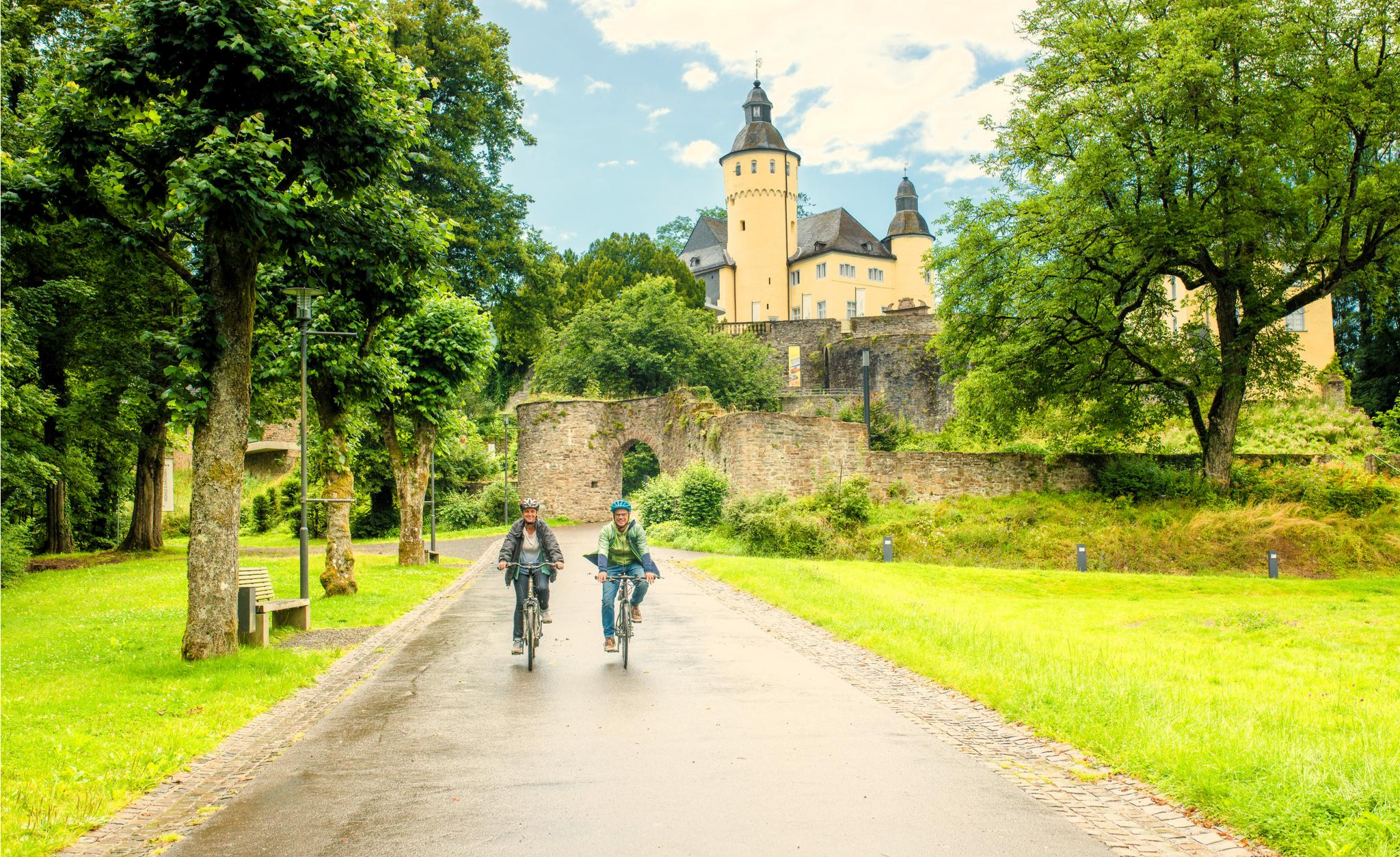
To palaces and castles - rides in the Rheinland cycling region
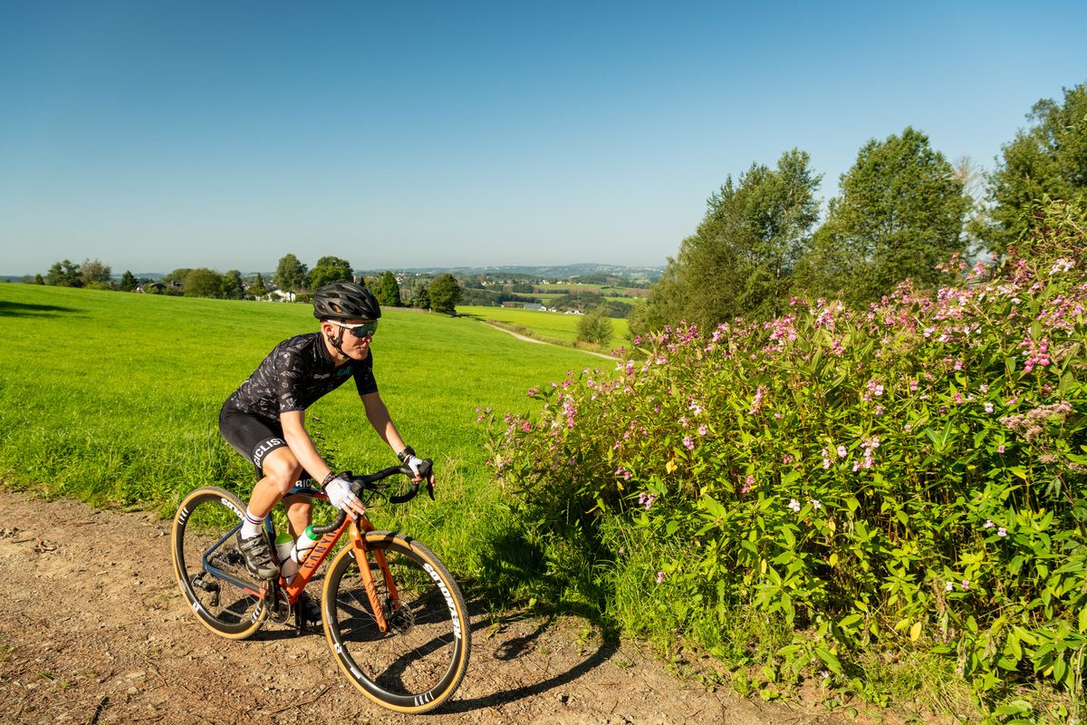
Forests, meadows and valleys — Gravel bike Tours in Bergisches Land
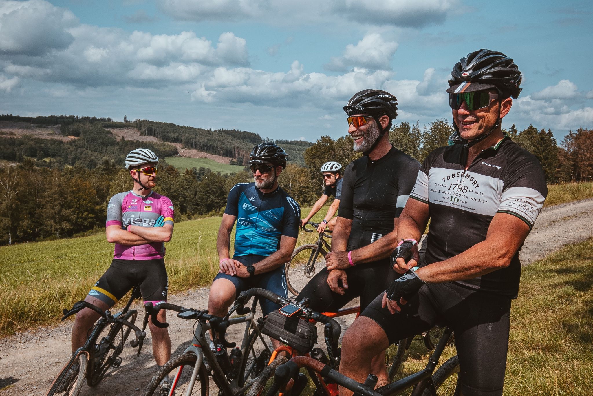
SCHWALBE Fahrradpark Reichshof - Touren im Bergischen Land
Other adventures around Reichshof


Tips from the Community

The hike up to the log cabin is worthwhile in every season and in all weather. On a clear day, the breathtaking view extends as far as the Siebengebirge hills, and the rustic panoramic cabin is a perfect place to stop for a break, offering a combination of a beer garden with stunning views, delicious snacks, and a fantastic breakfast.
0
0


Very nice idea with the booklet
1
0

The log cabin is worth a visit at any time of year. It is almost always part of my evening rides on the e-bike. With a detour via the town of Hecke to Belmicke, you can go on wonderful hikes or bike tours with many great views of the Oberbergisches Land and the directly adjacent Sauerland. Here you come across the Bergneustädter Panorama Höhenweg, which leads on this side of the Othetal via Hüngringhausen and Baldenberg to Bergneusadt. On the other side of the Othetal, it goes back over a ridge to Belmicke and the log cabin. Perfect for hikes or cycling. A stop at the Panoramahütte is a great way to end the day or stop off. Unfortunately, the hut is only open on Sundays. (https://panoramahuette-am-blockhaus.de/ )
1
0

On the outskirts of Freckhausen there is a small hiking parking lot.
1
0
Next to the shelter is a very nice picnic area.
1
0
Great view, especially beautiful now in autumn with the play of colors.
1
0

As the name of the trail suggests, the Panoramasteig offers fantastic views time and again. From there you can look out over a wide meadow across the Bergisches Land, a lovely place to pause for a moment and enjoy the view.
0
0
Frequently Asked Questions
How many easy hiking trails are available in Reichshof?
Reichshof offers a wide selection of easy hiking trails, with over 240 routes specifically categorized as easy. These trails traverse diverse landscapes, including dense forests, rolling hills, and picturesque villages.
What do other hikers say about the easy trails in Reichshof?
The easy hiking trails in Reichshof are highly regarded by the komoot community, boasting an average rating of 4.6 stars from over 2,000 reviews. Hikers frequently praise the well-maintained paths, the scenic views, and the varied natural features of the region.
What kind of landscape can I expect on easy hikes in Reichshof?
Easy hikes in Reichshof lead through a charming landscape of rolling hills, extensive forests, and unique natural features. You'll encounter areas like the juniper heaths near Eckenhagen and the scenic surroundings of the Wiehltalsperre reservoir, offering a mix of open views and sheltered woodland paths.
Are there any circular easy hiking routes in Reichshof?
Yes, many easy hiking trails in Reichshof are designed as circular routes, allowing you to start and end at the same point. A popular example is the View of the Wiehltalsperre loop from Löffelsterz, which offers beautiful perspectives of the reservoir.
Are the easy hiking trails in Reichshof suitable for families?
Absolutely. Reichshof is an excellent destination for family-friendly hikes. The easy trails typically have manageable elevation gains and well-maintained paths, making them suitable for children. The region also features attractions like the Panarbora Nature Adventure Park, which can be combined with a hike for a full day of family fun.
Can I bring my dog on the easy hiking trails in Reichshof?
Most easy hiking trails in Reichshof are dog-friendly, allowing you to enjoy the beautiful scenery with your canine companion. It's always recommended to keep your dog on a leash, especially in nature reserves or areas with wildlife, and to respect local regulations.
Are there easy hikes with good viewpoints in Reichshof?
Yes, Reichshof offers several easy hikes with rewarding viewpoints. For instance, the View from Schorsch's Hut provides extensive vistas, sometimes reaching as far as the Siebengebirge hills on clear days. The Wacholderweg Eckenhagen Trail also features panoramic views over the unique juniper heaths.
What natural features or landmarks can I see on easy hikes in Reichshof?
Along easy hikes in Reichshof, you can discover significant natural features like the Wiehltalsperre reservoir and unique juniper heaths. You might also encounter highlights such as the Genkel Reservoir or the Brucher Reservoir, which are part of the region's diverse water landscape.
Are there any historical sites or cultural attractions near the easy hiking trails?
Yes, Reichshof offers cultural points of interest. Crottorf Castle is a notable historical landmark. Additionally, you can visit the Wendener Hütte Ironworks and Museum, which provides insight into the region's industrial heritage.
What is the typical duration for an easy hike in Reichshof?
Most easy hikes in Reichshof can be completed within 1.5 to 2 hours. For example, the Wacholderweg Eckenhagen Trail takes about 1 hour 35 minutes, while the View from Schorsch's Hut loop typically takes around 1 hour 55 minutes.
Is parking available near the easy hiking trails in Reichshof?
Yes, parking is generally available at trailheads and popular starting points for easy hikes throughout Reichshof. Many villages and attractions, such as those near the Wiehltalsperre or Eckenhagen, offer designated parking areas for hikers.
When is the best time of year to go on an easy hike in Reichshof?
The best time for easy hikes in Reichshof is typically from spring through autumn. During these seasons, the weather is mild, and the natural landscape, from blooming juniper heaths to lush forests, is at its most vibrant. However, many trails are also accessible and enjoyable in winter, especially on clear, crisp days.
Are there options for refreshments or places to rest along the easy trails?
Yes, some easy trails in Reichshof lead to or pass by places where you can find refreshments or take a break. Rustic spots like Schorsch's Panoramic Hut offer opportunities to rest and enjoy the views. Additionally, many villages in the region have cafes or pubs.
Most popular routes around Reichshof
Most popular attractions around Reichshof

Get inspired with the komoot mobile app


Explore more
Browse the best Hikes in other regions.
