Easy hikes and walks around Glottertal
4.5
(24130)
100,584
hikers
109
hikes
Easy hiking trails around Glottertal offer diverse landscapes, from flowering meadows and orchards to dense pine forests. The region is situated at the transition from the central to the southern Black Forest, characterized by rolling green hills and varied topography. Elevations range from 280 meters above sea level to the Kandel summit at 1,241 meters, providing a range of terrain for hikers. The Glotter River traverses the valley, adding to the scenic beauty, alongside vineyards and the foothills of the…
Last updated: August 18, 2026
4.5
(72)
248
hikers
5.79km
01:46
200m
200m
Easy hike. Great for any fitness level. Easily-accessible paths. Suitable for all skill levels.
4.7
(60)
309
hikers
Easy hike. Great for any fitness level. Easily-accessible paths. Suitable for all skill levels.

Sign up for free
5.0
(17)
47
hikers
4.72km
01:31
200m
200m
Easy hike. Great for any fitness level. Easily-accessible paths. Suitable for all skill levels.
4.6
(68)
343
hikers
Easy hike. Great for any fitness level. Easily-accessible paths. Suitable for all skill levels.
4.8
(19)
66
hikers
Easy hike. Great for any fitness level. Easily-accessible paths. Suitable for all skill levels.
Get access to more routes and recommendations from other explorers.
Sign up for free
Already have an account?
Our route recommendations are based on thousands of hikes, rides, and runs completed by other people on komoot.
Start today with a free account
Your next adventure awaits.
Login or Signup
Other adventures around Glottertal

Tips from the Community


The Black Forest Clinic is a German television series produced by ZDF between 1984 and 1988, and first broadcast between 1985 and 1989. https://www.landkreis-waldshut.de/kommunikation-und-kultur/kultur/kreismuseen/heimatmuseum-huesli
1
0
The Black Forest Clinic is a German television series by ZDF, which was produced between 1984 and 1988 and first broadcast from 1985 to 1989.
0
0


Always a great walk during the Christmas season🎄
1
0

Unfortunately, you can no longer sit in the wine barrel because the rest area has been littered. Nevertheless, it's a very nice place to rest and enjoy the view and the vineyards.
0
0

Everything's as it used to be. A quick bike ride between two surgeries before Nurse Hildegard gets on my nerves again.
0
0

Fantastic view of the Kandel! And then towards Leimeneck!
0
0
Frequently Asked Questions
How many easy hiking trails are available in Glottertal?
Glottertal offers a wide selection of easy hiking trails, with over 50 routes specifically categorized as easy. In total, there are more than 100 marked hiking trails in the region, catering to various fitness levels.
Are there easy circular hiking routes in Glottertal?
Yes, Glottertal features many easy circular routes. For example, the View of Glottertal – View over the Glottertal loop from Unterglottertal is a popular 5.8 km circular trail offering scenic views of the valley. Another option is the Angel Trees on the Angel Path – View of Glottertal loop from Unterglottertal, a 5.2 km path with gentle gradients.
What kind of terrain can I expect on easy hikes in Glottertal?
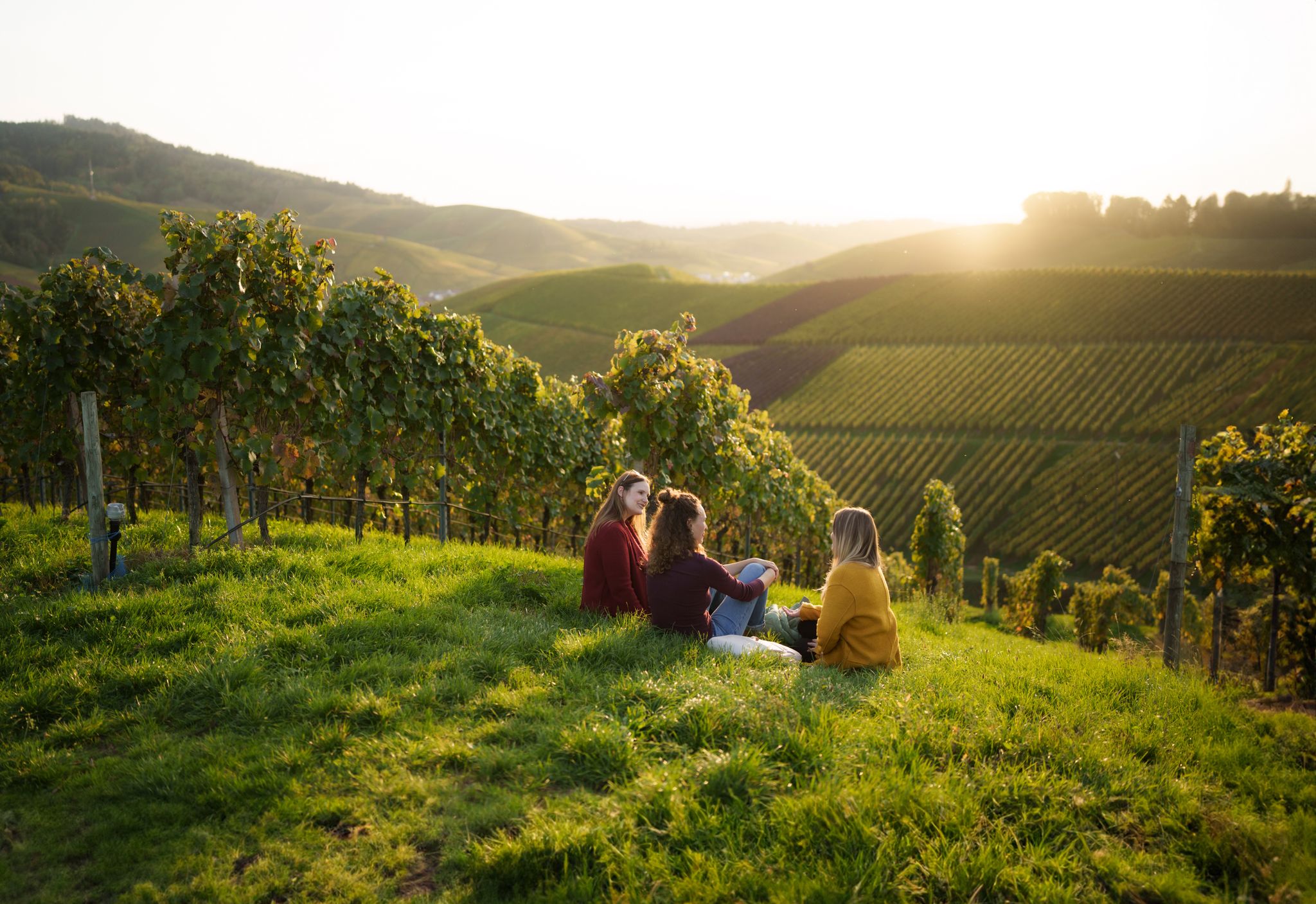
Easy hikes in Glottertal traverse a diverse landscape. You'll find paths through flowering meadows, lush orchards, and vineyards, as well as sections through dark pine forests. The region is characterized by rolling green hills and varied topography, with elevations ranging from 280 meters above sea level in the valley to the foothills of the Kandel massif.
Are the easy hiking trails in Glottertal suitable for families with children?
Many easy trails in Glottertal are well-suited for families. The gentle gradients and varied scenery, including meadows and forests, provide an enjoyable experience for all ages. Routes like the View of Glottertal – Angel Trees on the Angel Path loop from Glottertal offer manageable distances and interesting sights for younger hikers.
Can I bring my dog on easy hikes in Glottertal?
Generally, dogs are welcome on the hiking trails in Glottertal. The natural landscapes, including forests and open areas, provide a great environment for walks with your canine companion. Always remember to keep your dog on a leash where required and clean up after them.
What are some scenic viewpoints or landmarks I can see on easy hikes?
Glottertal offers several scenic viewpoints and landmarks. While some major viewpoints like the Roßkopf observation tower might require more challenging routes, many easy trails provide glimpses of the valley, vineyards, and the Black Forest. The Carlsbau, famous as the filming location for 'The Black Forest Clinic,' is a recognizable landmark along some routes, such as the Glottertal – View of the Schwarzwaldklinik loop from Glottertal.
Are there any waterfalls accessible on easy trails in Glottertal?
While Glottertal is known for its beautiful landscapes, most prominent waterfalls like the Zweribach Waterfalls or Hirschbach Waterfall are typically found on more challenging routes or require a short drive from the main valley. Easy trails primarily focus on the valley's rolling hills, forests, and vineyards.
What is the typical duration for an easy hike in Glottertal?
Easy hikes in Glottertal typically range from 1.5 to 2 hours. For instance, the View of Glottertal village – View of Glottertal loop from Unterglottertal is a 4.8 km route that can be completed in approximately 1 hour 30 minutes, offering a pleasant and manageable outing.
When is the best time of year to go on easy hikes in Glottertal?
Glottertal's mild and sunny climate, influenced by its proximity to the Rhine plain, makes it suitable for hiking throughout much of the year. Spring brings flowering meadows and orchards, summer offers lush greenery, and autumn showcases vibrant foliage in the vineyards and forests. Even in winter, easy trails can be enjoyable, though conditions may vary.
What do other hikers enjoy the most about hiking in Glottertal?
The easy hiking trails in Glottertal are highly rated by the komoot community, with an average score of 4.5 stars from nearly 5,000 reviews. Hikers often praise the diverse and picturesque landscapes, the well-maintained paths, and the opportunity to experience the region's unique blend of vineyards, forests, and charming villages.
Are there places to stop for refreshments or a meal along easy hiking routes?
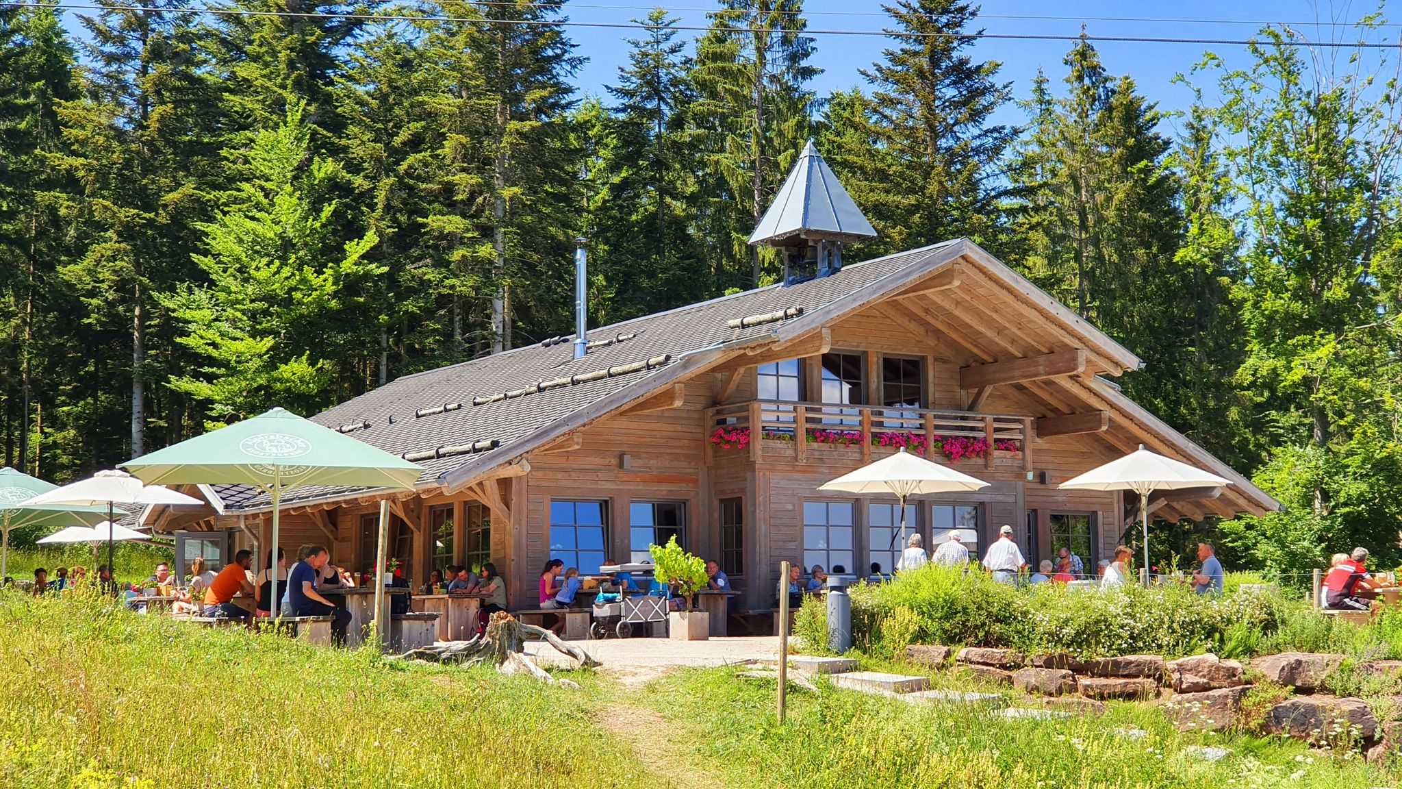
Yes, Glottertal is known for its hospitality. Many easy hiking routes pass through or near villages where you can find traditional Black Forest guesthouses, cafes, and restaurants. Some trails also lead through vineyards, offering opportunities to stop at local wineries for a tasting or a meal.
Is public transport available to access easy hiking trails in Glottertal?
Glottertal is generally well-connected within the Black Forest region. Public transport options, including buses, can help you reach various starting points for hikes. It's advisable to check local bus schedules to plan your access to specific trailheads.
Where can I find parking for easy hikes in Glottertal?
Parking is typically available at or near the starting points of many popular hiking trails in Glottertal. Look for designated parking areas in the villages or at trailheads. Some routes may have smaller, informal parking spots, especially in more rural areas.
Most popular routes around Glottertal
Most popular attractions around Glottertal

Get inspired with the komoot mobile app


Explore more
Browse the best Hikes in other regions.
