Easy hikes and walks around Hochburg-Ach
4.4
(144)
691
hikers
48
hikes
Easy hiking trails around Hochburg-Ach are characterized by a diverse landscape, situated along the Salzach River and bordered by the expansive Weilhartsforst forest. The region features picturesque riverside paths, impressive moraine walls, and dense woodlands. This natural setting provides varied terrain for outdoor activities, with many routes offering views of the river and surrounding areas.
Best easy hiking trails around Hochburg-Ach
- The most popular easy hiking route is View of Kreuzfelsen – View of Burghausen Castle loop from Burghausen,…
Last updated: October 17, 2026
5.0
(4)
13
hikers
5.66km
01:34
100m
100m
Easy hike. Great for any fitness level. Easily-accessible paths. Suitable for all skill levels.
4.7
(6)
43
hikers
5.57km
01:28
50m
50m
Easy hike. Great for any fitness level. Easily-accessible paths. Suitable for all skill levels.

5.0
(2)
22
hikers
Easy hike. Great for any fitness level. Easily-accessible paths. Suitable for all skill levels.
5.0
(1)
18
hikers
4.21km
01:08
50m
50m
Easy hike. Great for any fitness level. Easily-accessible paths. Suitable for all skill levels.
4.2
(5)
6
hikers
Easy hike. Great for any fitness level. Easily-accessible paths. Suitable for all skill levels.
Get access to more routes and recommendations from other explorers.
Already have an account?
Our route recommendations are based on thousands of hikes, rides, and runs completed by other people on komoot.
Start today with a free account
Your next adventure awaits.
Popular around Hochburg-Ach
Other adventures around Hochburg-Ach

Tips from the Community

There is also the start of the Mühlenweg
2
0
Unfortunately, the chapel was closed
1
0

The current structure, a steel and concrete bridge, was inaugurated in 1963 – three years after the "New Bridge" further upstream. Locals still refer to it as the "Old Bridge," as it was first mentioned in 1272 and had several predecessors, which were completely or partially destroyed at least 12 times by floods and 6 times by ice jams. In 1809, Austrian troops rendered the bridge unusable to hinder Napoleon I Bonaparte's advance to Vienna. During a minor flood in 1959, a work platform that broke loose from the "New Bridge" severely damaged the "Old Bridge," before the major flood of the same year destroyed the temporary bridge that had been erected at short notice; for a time, there was no permanent crossing of the Salzach River near Burghausen, only a ferry service. This flood – with a maximum water level of 8.14 meters, one of Burghausen's worst – was the catalyst for the construction of the flood protection wall.
2
0

A bridge over the Salzach at this location was first mentioned in 1272. Even after that, salt from Hallein continued to be transported here by boat, but was only permitted to be landed and paid customs duties in Burghausen. The salt toll made the town and the Wittelsbach dynasty, who ruled here, wealthy in the late Middle Ages. The Old Bridge connected Burghausen with Hochburg-Ach, which belonged to the town, on the opposite bank. Only after the Innviertel region—all areas east of the Salzach and Inn rivers—was ceded to Austria in 1779 following the War of the Bavarian Succession did Hochburg-Ach develop its independence. Following devastating floods in 1959, the Old Bridge was rebuilt and opened to traffic on August 23, 1963. It was extensively renovated in 2000 and 2025.
7
0
The Naturfreunde forest inn in Hochburg-Ach is located at an elevation of 450 meters above sea level, about seventy meters above the Salzach River, directly opposite the Bavarian border town of Burghausen. From the terrace, guests have a magnificent view of Burghausen's picturesque old town and the imposing castle complex. Lodge owner Marek Duda opens his forest inn Mondays and Tuesdays from 4 p.m. to 10 p.m., Thursdays to Saturdays from 4 p.m. to 11 p.m., and Sundays from 11 a.m. to 9 p.m. Closed on Wednesdays.
2
0
Since the late Middle Ages, this view has been offered to all travelers coming to Burghausen from the east. They no longer had to cross the Salzach by boat, but could use the bridge, first mentioned in 1272.
16
0
The Catholic parish church of Maria Ach, originally built as a wooden church in 1354 and rebuilt as a stone building in 1404, is dedicated to the Feast of the Visitation of the Blessed Virgin Mary. In 1771, the pilgrimage church was expanded in the Rococo style to better accommodate the large number of pilgrims. The ceiling of the main hall is adorned with a fresco by Johann Nepomuk della Croce depicting the Visitation of the Blessed Virgin Mary. It also dates from 1771. The Baroque west tower, with its pointed onion dome, is three years younger.
17
1
The old mill wheel next to the chapel symbolizes the Achmühle (Achmühle), which once stood here at the confluence of the Wanghauser Mühlbach and the Salzach River. From here, a themed trail leads to the former sites of the area's other five watermills: Stampflmühle, Sagmühle, Mittermühle, Obermühle (the building still stands here, housing a small mill museum), and Grandlmühle.
16
0
Frequently Asked Questions
How many easy hiking trails are available around Hochburg-Ach?
There are over 30 easy hiking trails around Hochburg-Ach, offering a variety of landscapes from riverside paths to forest routes. These trails are generally well-rated by the komoot community.
Are there any easy circular hiking routes in Hochburg-Ach?
Yes, many easy trails in Hochburg-Ach are circular, allowing you to start and end at the same point. An example is the View of Kreuzfelsen – View of Burghausen Castle loop from Burghausen, which offers panoramic views.
What natural attractions can I see on easy hikes in Hochburg-Ach?
Easy hikes in Hochburg-Ach often feature the picturesque Salzach River and its impressive moraine walls, as well as the expansive Weilhartsforst forest. You might also encounter unique geological features like a natural stone bridge known as 'Keltenburg' within the forest.
Are there any viewpoints on the easy hiking trails in Hochburg-Ach?
Yes, several easy trails offer excellent viewpoints. The Duttendorf viewing point provides a stunning panorama of Burghausen Castle and the historic old town. The Naturfreunde forest inn in Hochburg-Ach also has a terrace with magnificent views.
What historical or cultural landmarks can be found along easy hiking routes?
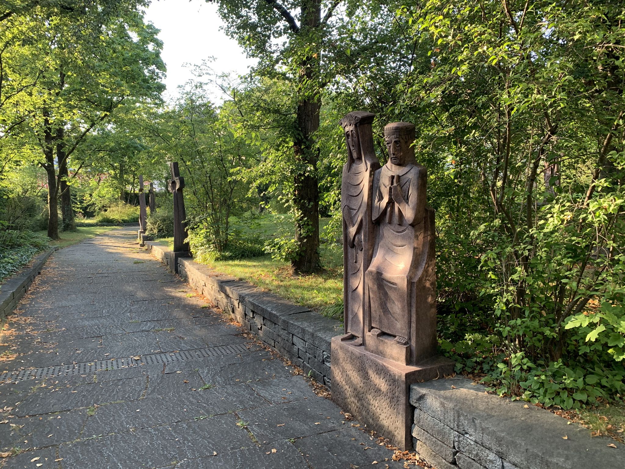
You can explore several significant landmarks. The Pilgrimage Church Maria Queen of the Rosary (Marienberg), known as the 'pearl of the Salzach Valley,' is incorporated into trails like the View of Marienberg – Maria Ach Pilgrimage Church loop from Holzgassen. The Franz Xaver Gruber Peace Trail, dedicated to the composer of 'Silent Night,' also features art installations.
Are the easy hiking trails in Hochburg-Ach suitable for families with children?
Yes, Hochburg-Ach is an excellent destination for family-friendly hikes. The easy trails are generally well-maintained with minimal elevation gain, making them suitable for all ages and skill levels. Many routes are short, lasting less than two hours.
Can I bring my dog on the easy hiking trails?
While specific regulations for dogs vary, generally, dogs are welcome on most hiking trails in the region, especially on easy forest and riverside paths. Always keep your dog on a leash and clean up after them to ensure a pleasant experience for everyone.
Is parking available near the easy hiking trailheads?
Parking is generally available near popular trailheads and attractions in Hochburg-Ach. For example, routes like the Burghausen Castle – View of Kreuzfelsen loop from Duttendorf often have designated parking areas nearby.
What is the best time of year for easy hikes in Hochburg-Ach?
The region is enjoyable for easy hikes throughout much of the year. Spring and autumn offer pleasant temperatures and beautiful scenery, while summer provides lush green landscapes. Even winter can be suitable for walks, though conditions may vary.
What do other hikers enjoy most about the easy trails in Hochburg-Ach?
The area is highly rated by the komoot community, with an average score of 4.5 stars. Hikers often praise the diverse landscape, the scenic views of Burghausen Castle, and the well-maintained paths that make for enjoyable and accessible outings.
Are there any easy trails that pass by castles?
Yes, several easy trails offer views of or pass near castles. The Wanghausen Castle – View of Marienberg loop from Burghausen allows you to see the historic Schloss Wanghausen, first mentioned in 1240, and offers views of Burghausen Castle.
Can I access easy hiking trails in Hochburg-Ach using public transport?
While specific public transport connections directly to every trailhead might be limited, Hochburg-Ach is generally accessible. It's advisable to check local bus schedules or consider a short taxi ride from nearby transport hubs to reach specific starting points for your easy hike.
Most popular routes around Hochburg-Ach
Most popular attractions around Hochburg-Ach

Get inspired with the komoot mobile app


Explore more
Browse the best Hikes in other regions.
