Easy hikes and walks around Johanngeorgenstadt
4.6
(2815)
9,142
hikers
157
hikes
Easy hiking trails around Johanngeorgenstadt are set within the Erzgebirge (Ore Mountains) at elevations between 700 and 1000 meters. The region is characterized by dense forests, rolling hills, and river valleys such as the Schwarzwasser. This landscape provides a diverse backdrop for outdoor activities, including numerous easy hiking routes.
Best easy hiking trails in Johanngeorgenstadt
- The most popular easy hiking route is View of Teufelsteine – Devil's Stones loop from Steinbach, a 2.4 miles (3.8 km) trail that takes…
Last updated: October 17, 2026
4.5
(32)
124
hikers
3.89km
01:06
90m
90m
Easy hike. Great for any fitness level. Easily-accessible paths. Suitable for all skill levels.
4.5
(10)
43
hikers
Easy hike. Great for any fitness level. Easily-accessible paths. Suitable for all skill levels.

4.7
(12)
58
hikers
6.09km
01:45
160m
160m
Easy hike. Great for any fitness level. Easily-accessible paths. Suitable for all skill levels.
4.7
(53)
173
hikers
Easy hike. Great for any fitness level. Easily-accessible paths. Suitable for all skill levels.
5.0
(10)
30
hikers
5.76km
01:36
100m
100m
Easy hike. Great for any fitness level. Easily-accessible paths. Suitable for all skill levels.
Get access to more routes and recommendations from other explorers.
Already have an account?
Our route recommendations are based on thousands of hikes, rides, and runs completed by other people on komoot.
Start today with a free account
Your next adventure awaits.
Popular around Johanngeorgenstadt

History meets nature – Erzgebirge-Vogtland Ridge Trail
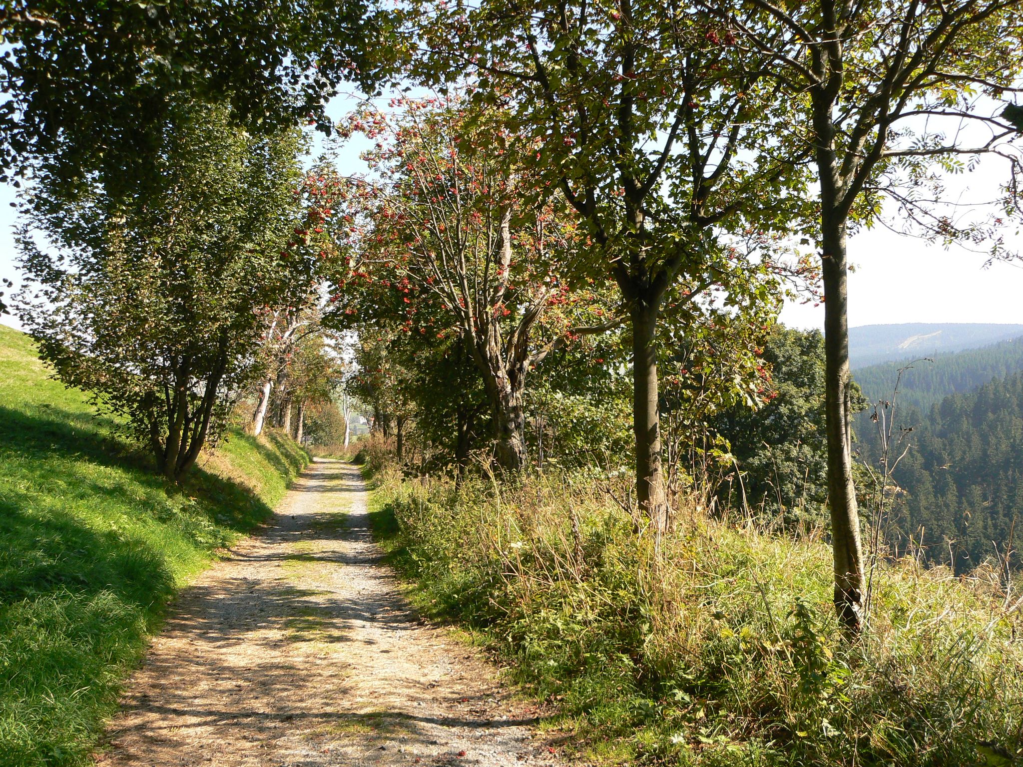
The Anton-Günther-Trail — a long weekend in the Ore Mountains
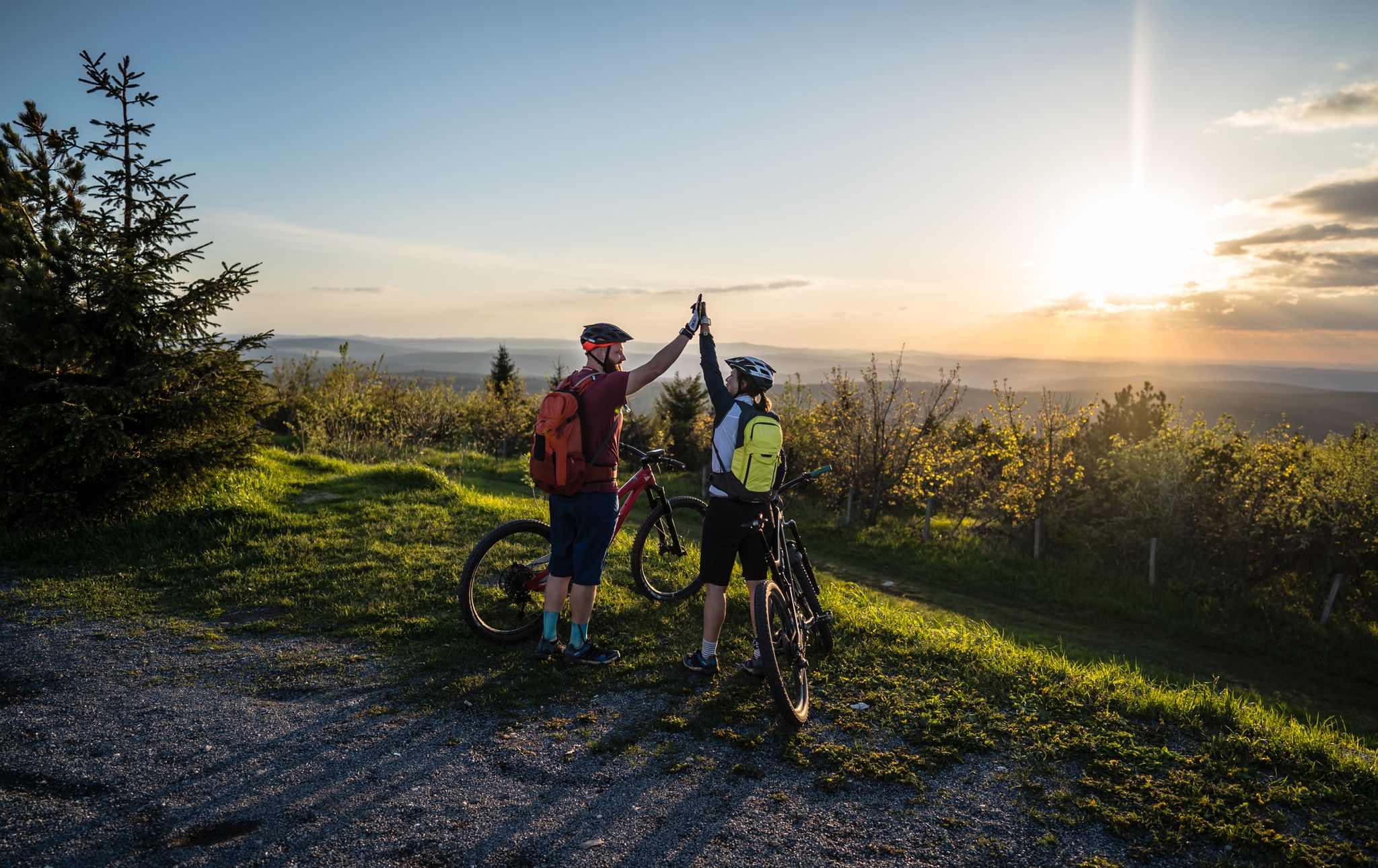
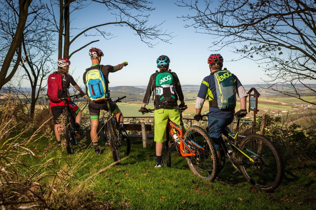
Flying high on two wheels – bike holidays in the Ore Mountains
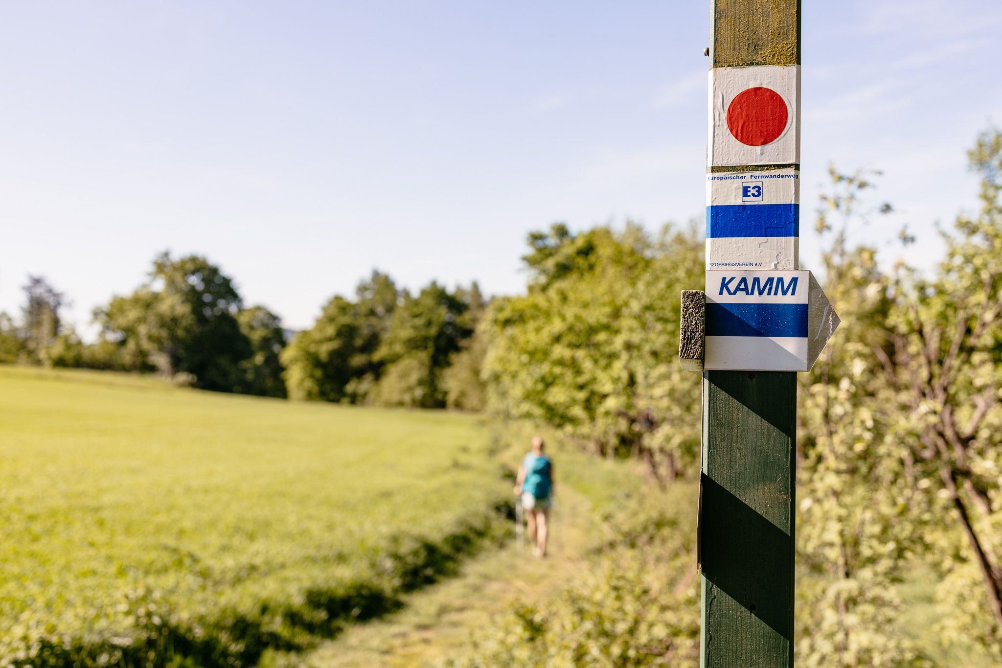
Der Kammweg Erzgebirge-Vogtland aus Sicht einer Bloggerin
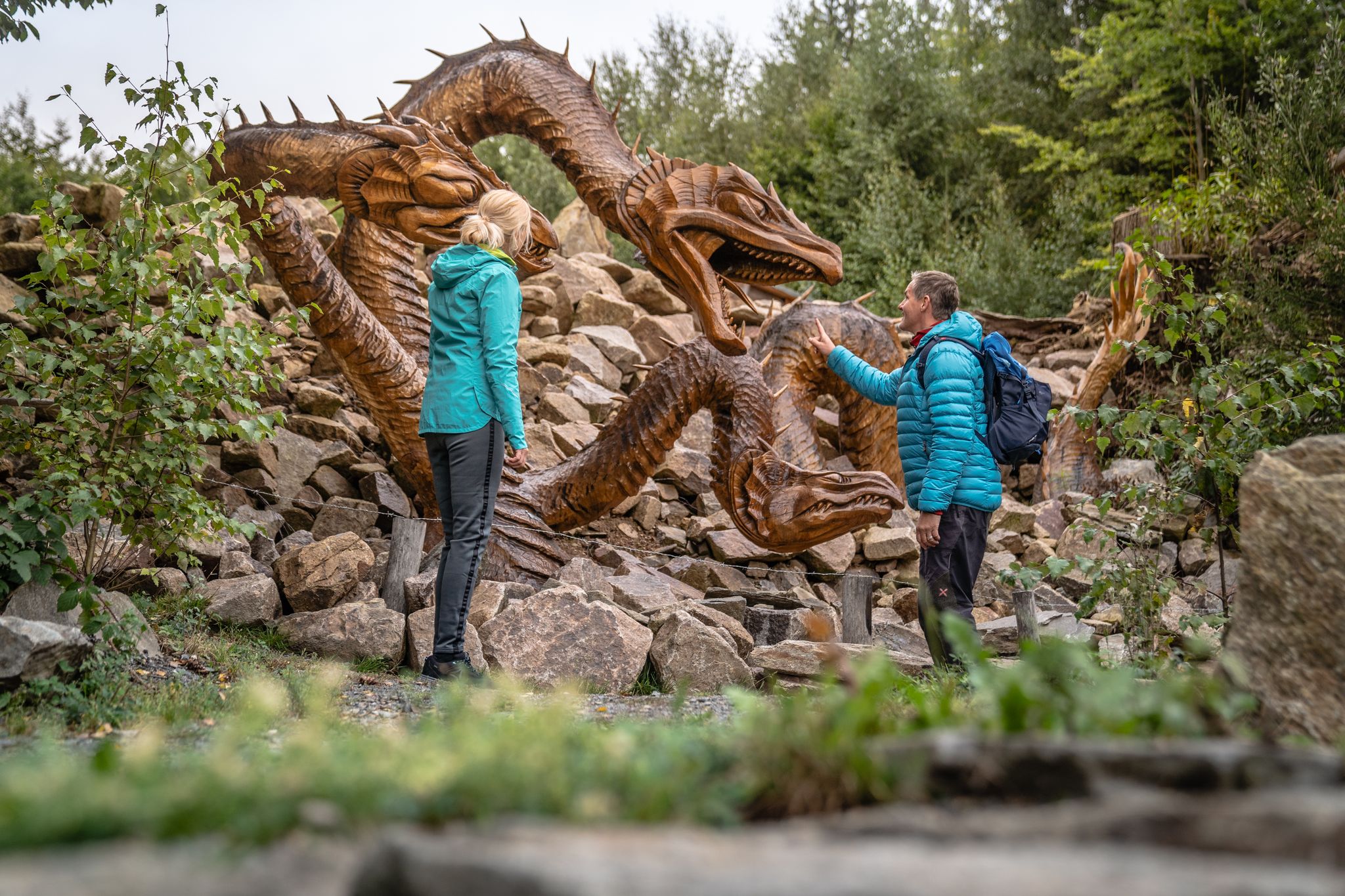
Wandertouren - Handwerk & Heimatgenuss
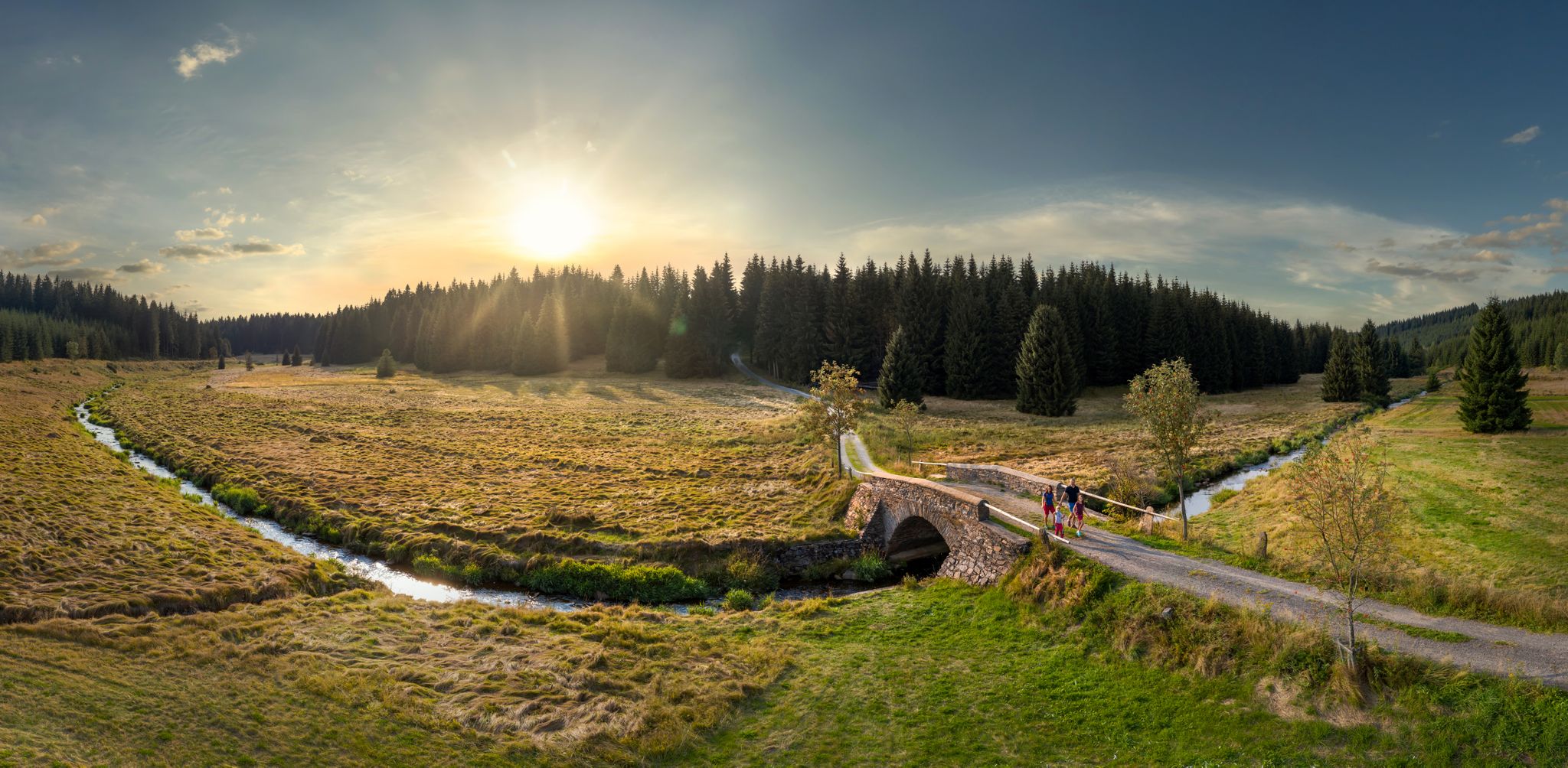
Wandertouren - Flusstäler & Talsperren
Stoneman Miriquidi MTB Gesamtstrecke (3 Tage - Bronze)
Other adventures around Johanngeorgenstadt


Tips from the Community

Beautiful idyllic path over wooden boardwalks. You don't see that much of the moor, though.
0
0

Definitely recommended
1
0
Good starting point for tours
1
0

The climbing area consists of the Teufelsstein and the Teufelsstein massif. The Teufelsstein massif consists of six sectors: A Sector: Upper Teufelsstein massif B Sector: Teufelsmauer C Sector: Kleine Teufelswand D Sector: Pferdefuß E Sector: Teufelchen F Sector: Steinbachturm The "Naturlehrpfad Steinbachtal", which provides information about geological conditions and rare plants and animals, and the Kammweg Erzgebirge–Vogtland trail pass by the Teufelssteinen.
0
0
Frequently Asked Questions
How many easy hiking trails are there around Johanngeorgenstadt?
Johanngeorgenstadt offers a wide selection of easy hiking trails, with over 50 routes specifically categorized as easy. In total, the region features more than 150 hiking routes suitable for various skill levels.
What is the best time of year for easy hikes in Johanngeorgenstadt?
The region is beautiful year-round for easy hikes. Spring brings blossoming nature, summer offers a pleasant climate for longer excursions, and autumn transforms the forests into a vibrant display of colors. Even winter provides opportunities for snow hiking, making it a versatile destination.
Are there easy hikes with scenic viewpoints in Johanngeorgenstadt?
Yes, several easy trails offer expansive views. For example, the Auersberg Tower – Auersberg Mountain Inn loop from Steinbach provides views towards the Auersberg summit and its observation tower. The Blatenský Vrch (Plattenberg) also features an ancient observation tower with excellent views, accessible via various routes in the area.
Can I find easy trails that lead to unique natural landmarks like rock formations or moors?
Absolutely. The View of Teufelsteine – Devil's Stones loop from Steinbach explores the scenic Steinbachtal with its distinctive 'Devil's Stones' rock formations. You can also discover the 'Kleiner Kranichsee' high moor, one of the best-preserved moors in the low mountain range, on an easy hike, offering impressive views of this sensitive landscape.
Are there any waterfalls accessible on easy hikes near Johanngeorgenstadt?
While not directly on every easy trail, the Blauenthal Waterfall is a notable natural attraction in the wider region. Some easy routes may connect to paths leading towards this beautiful waterfall, offering a refreshing stop.
What historical sites can I explore on easy hikes in Johanngeorgenstadt?
Johanngeorgenstadt has a rich mining history. You can explore the Johanngeorgenstadt Ski Jump – Johanngeorgenstadt Horse Whim loop from Johanngeorgenstadt, which passes by the Pferdegöpel (Horse Capstan), a technical monument offering insight into the region's past. The Wolfspinge, impressive canyons formed by sunken mining shafts, are also protected natural monuments accessible via nature trails.
Are there easy trails along rivers or to dams in the area?
Yes, the region is characterized by river valleys. A popular trail follows the Schwarzwasser river to the Sosa dam, where you can enjoy tranquil nature. The Auersberg also offers expansive views towards the Eibenstock and Sosa dams.
Are there family-friendly easy hiking trails in Johanngeorgenstadt?
Many easy trails are suitable for families. The 'Wilde Gasse' Nature Adventure Trail, for instance, is designed for children to playfully explore nature and learn about local flora and fauna. The generally gentle terrain and well-marked paths make most easy routes enjoyable for all ages.
Can I bring my dog on the easy hiking trails?
Most easy hiking trails in Johanngeorgenstadt are dog-friendly, allowing you to enjoy the beautiful nature with your canine companion. It's always recommended to keep dogs on a leash, especially in nature reserves or areas with wildlife, and to respect local regulations.
Are there circular easy walks available?
Yes, many of the easy trails around Johanngeorgenstadt are designed as circular routes, allowing you to start and end at the same point without retracing your steps. Examples include the View of Teufelsteine – Devil's Stones loop from Steinbach and the Auersberg Tower – Auersberg Mountain Inn loop from Steinbach.
What do other hikers say about the easy trails in Johanngeorgenstadt?
The easy trails in Johanngeorgenstadt are highly rated by the komoot community, with an average score of 4.6 stars from over 2400 reviews. Hikers often praise the well-maintained paths, the beautiful forest scenery, and the accessibility of the routes for all skill levels.
Are there options for parking near the easy hiking trailheads?
Many trailheads for easy hikes in Johanngeorgenstadt and the surrounding villages offer designated parking areas. Given the region's focus on outdoor tourism, you'll generally find convenient parking options to start your walk.
How long do easy hikes in Johanngeorgenstadt typically take?
Easy hikes in Johanngeorgenstadt vary in length, but many can be completed within 1 to 2 hours. For example, the View of Teufelsteine – Devil's Stones loop from Steinbach is about 3.8 km and takes approximately 1 hour 5 minutes, while the Henneberg Inn – Butterwegmoor Nature Reserve loop from Johanngeorgenstadt is around 5.7 km and takes about 1 hour 35 minutes.
Most popular routes around Johanngeorgenstadt
Most popular attractions around Johanngeorgenstadt

Get inspired with the komoot mobile app


Explore more
Browse the best Hikes in other regions.
