Easy hikes and walks around Bergisch Gladbach
4.5
(9405)
35,542
hikers
777
hikes
Easy hiking trails around Bergisch Gladbach traverse a landscape characterized by rolling hills, dense forests, and picturesque valleys. The region, situated within the Bergisches Land Nature Park, offers diverse terrain suitable for various outdoor activities. Notable natural features include the Königsforst Nature Reserve and the Lerbacher Wald, providing varied environments for exploration. This area combines natural beauty with historical elements, making it an accessible destination for easy walks.
Best easy hiking trails around Bergisch Gladbach
- The most popular easy hiking…
Last updated: October 9, 2026
4.5
(60)
190
hikers
5.07km
01:22
70m
70m
Easy hike. Great for any fitness level. Easily-accessible paths. Suitable for all skill levels.
4.7
(211)
614
hikers
5.79km
01:38
130m
130m
Easy hike. Great for any fitness level. Easily-accessible paths. Suitable for all skill levels.

4.7
(212)
621
hikers
6.34km
01:48
140m
140m
Easy hike. Great for any fitness level. Easily-accessible paths. Suitable for all skill levels.
4.6
(183)
549
hikers
Easy hike. Great for any fitness level. Easily-accessible paths. Suitable for all skill levels.
4.9
(88)
288
hikers
4.97km
01:20
60m
60m
Easy hike. Great for any fitness level. Easily-accessible paths. Suitable for all skill levels.
Get access to more routes and recommendations from other explorers.
Already have an account?
Our route recommendations are based on thousands of hikes, rides, and runs completed by other people on komoot.
Start today with a free account
Your next adventure awaits.
Popular around Bergisch Gladbach
Germany's Cologne Trail — Explore Cologne's surprising sides
Bergische Rambles – themed and adventure trails in the Bergisches Land region
Hike and indulge in regional delights in Bergisches Land
The Bergische Weg - Germany's most beautiful hiking trail 2024
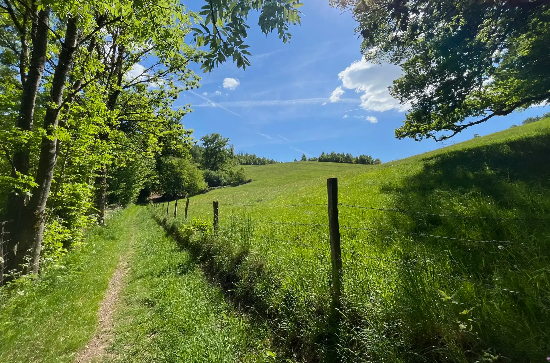
Wasser, Wald und Weitblick – Aktivtouren im Bergischen Land
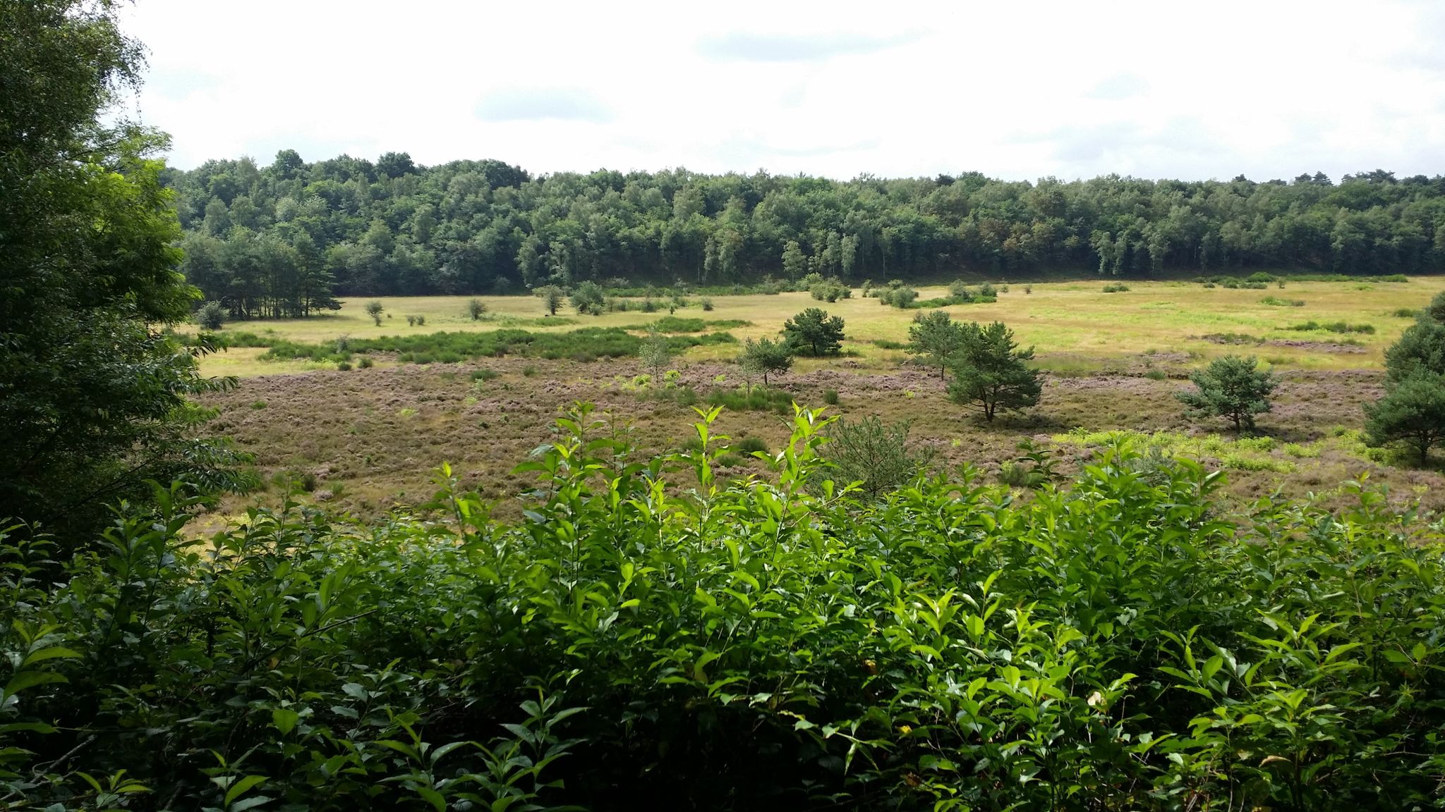
Audiotouren im DBU-Naturerbe Wahner Heide
Other adventures around Bergisch Gladbach


Tips from the Community

😯Impressive nature😮 🌳🌳Extreme & very interesting exposed roots... -and the trees are alive☝🏼😮😮 🌳An impressive natural photo motif 🌳📸-🤔🤔 reminded us somehow of Treebeard from the movie 🎬 "The Lord of the Rings".... with its Ents from Fangorn Forest🌳
2
0
Former Cox dolomite quarry. After the end of mining, a piece of nature worth protecting has emerged💚🌲🌳⛰️. Where pickaxes and hammers once swung, 🐍🦎grass snakes and solitary wild bees🐝 frolic today. A beautiful, quiet local recreation area- which offers a changing scenery in every season 🍃🍂🍁🌿. In addition, the magnificent reflections in the lake- a great photo location 🎨🖌📸.
1
0

At the Tütberg, the highest point in Königsforst (212 m), there is this newly created rest area, which is perfect for a break with a view, nature, and coziness! 🧺🌲
0
0
Wooden benches that invite you to take a break 👍🏼
0
0


The place is idyllically situated in the forest with a quiet, natural atmosphere surrounded by greenery – perfect for taking a deep breath and taking a break.
8
0
The summit is located in a quiet, wooded area and is rather unspectacularly marked – but there is a bench for a short break, and the surroundings invite you to linger.
12
0

On hot, sunny days, this hollow path, carved into the soft loess soil by the growth of trees on both sides, is a very welcome, shady respite from the open fields. Following the ascent, the hiker reaches the beautiful, half-timbered St. Rochus Chapel.
10
0
Frequently Asked Questions
How many easy hiking trails are available in Bergisch Gladbach?
Bergisch Gladbach offers a wide selection of easy hiking trails, with over 550 routes specifically categorized as easy. The broader region, within the Bergisches Land Nature Park, boasts over 4,000 kilometers of marked trails, ensuring plenty of options for relaxed walks.
What makes Bergisch Gladbach a good destination for easy hikes?
Bergisch Gladbach is ideal for easy hikes due to its diverse and accessible landscapes. You'll find a mix of rolling hills, dense forests like the Königsforst Nature Reserve, and picturesque valleys. The trails are generally well-maintained and offer a combination of natural beauty and historical elements, making them suitable for various interests and fitness levels.
Are there easy circular walks in Bergisch Gladbach?
Yes, many easy trails in Bergisch Gladbach are designed as circular routes, allowing you to start and end at the same point. Examples include the St. Rochus Chapel, Sand – Gut Lerbach Milk Station loop from Hardt, which winds through scenic hills, or the Kettners Pond – Königsforst Forest Trail loop from Schloss Bensberg, exploring the extensive Königsforst Nature Reserve.
Are the easy hiking trails in Bergisch Gladbach suitable for families?
Absolutely. The easy trails in Bergisch Gladbach are generally family-friendly, offering gentle gradients and varied scenery to keep younger hikers engaged. Routes through areas like the Königsforst Nature Reserve provide safe and enjoyable environments for all ages. The Audio-Tour Steinhaus im Naturerbe Wahner Heide, for instance, offers an interactive experience that can be fun for families.
Can I bring my dog on easy hikes in Bergisch Gladbach?
Many easy hiking trails in Bergisch Gladbach are dog-friendly, allowing you to enjoy the natural surroundings with your canine companion. It's always recommended to keep dogs on a leash, especially in nature reserves like Königsforst or Lerbacher Wald, to protect wildlife and ensure a pleasant experience for everyone. Always check local signage for specific rules.
What kind of natural landscapes can I expect on easy hikes in Bergisch Gladbach?
Easy hikes in Bergisch Gladbach will take you through a diverse range of natural landscapes. You'll encounter dense forests, such as the Königsforst Nature Reserve with its varied soil types, and the charming Lerbacher Wald with its winding paths and picturesque quarry ponds. The region is also characterized by rolling hills and scenic valleys, often featuring historical elements like the Saal mill pond.
Are there any interesting historical sites or landmarks to see on easy hikes?
Yes, Bergisch Gladbach's easy trails often pass by or lead to interesting historical sites. A prominent landmark is Bensberg Castle, an impressive structure that serves as a focal point for several routes. You might also discover charming villages with half-timbered houses or remnants of old mills, adding a cultural dimension to your outdoor experience.
How long do easy hikes near Bergisch Gladbach typically take?
The duration of easy hikes in Bergisch Gladbach varies, but most can be completed within 1 to 2.5 hours. For example, the Audio-Tour Steinhaus im Naturerbe Wahner Heide takes about 1 hour 22 minutes, while the Kettners Pond – Königsforst Forest Trail loop from Schloss Bensberg typically takes around 1 hour 55 minutes.
What do other hikers say about the easy trails in Bergisch Gladbach?
The easy trails in Bergisch Gladbach are highly regarded by the komoot community, with an average rating of 4.5 stars from over 8,600 reviews. Hikers frequently praise the well-maintained paths, the peaceful forest environments, and the accessibility of the routes, making them a popular choice for a relaxing outdoor experience.
Are there easy trails with parking available?
Yes, many easy hiking trails in Bergisch Gladbach have convenient parking options nearby, especially at popular starting points or trailheads. While specific parking details vary by route, the region is generally well-equipped for visitors arriving by car, with designated parking areas often available near natural reserves and attractions.
What is the best time of year for easy hikes in Bergisch Gladbach?
Bergisch Gladbach offers enjoyable easy hiking experiences throughout the year. Spring brings blooming flora, summer provides lush green canopies, and autumn transforms the forests into a spectacle of colors. Even in winter, the trails can be beautiful, especially after a light snowfall. Always check local weather conditions before heading out.
Are there any less crowded easy walking routes in Bergisch Gladbach?
For a quieter experience, consider exploring trails within the Lerbacher Wald. This area is known for its winding paths and charming villages, offering a true taste of the Bergisches Land away from the more frequented spots. The Grube Cox Lakes – View of Grube Cox Pond loop from Hardt is an example of a route in this serene forest.
Are there easy hikes with pubs or places to stop for refreshments nearby?
Yes, many easy hiking routes in Bergisch Gladbach pass through or near charming villages and towns where you can find local pubs, cafes, or restaurants. The region's character, with its historical mills and half-timbered houses, often means amenities are integrated into the landscape, providing pleasant opportunities for refreshments during or after your walk.
Most popular routes around Bergisch Gladbach
Most popular attractions around Bergisch Gladbach

Get inspired with the komoot mobile app


Explore more
Browse the best Hikes in other regions.
