Easy hikes and walks around Kreis Steinfurt
4.5
(44646)
169,384
hikers
5,093
hikes
Easy hiking trails around Kreis Steinfurt offer a diverse landscape for outdoor activities. The region features gentle hills, tranquil moorlands, and picturesque river valleys, providing varied terrain for hikers. Notable natural features include sandstone formations like the Dörenther Klippen and the unique Lengericher Canyon. The area also incorporates extensive green spaces and lakes, such as those found in Bagno Landscape Park.
Best easy hiking trails around Kreis Steinfurt
- The most popular easy hiking route is Canyon route – Teutoschleifen,…
Last updated: June 29, 2026
4.6
(1222)
3,995
hikers
5.78km
01:36
100m
100m
Easy hike. Great for any fitness level. Easily-accessible paths. Suitable for all skill levels.
4.8
(520)
1,685
hikers
6.75km
01:45
40m
40m
Easy hike. Great for any fitness level. Easily-accessible paths. Suitable for all skill levels.

Sign up for free
4.7
(342)
1,204
hikers
7.03km
01:59
150m
150m
Easy hike. Great for any fitness level. Easily-accessible paths. Suitable for all skill levels.
4.7
(365)
1,236
hikers
6.15km
01:44
130m
130m
Easy hike. Great for any fitness level. Easily-accessible paths. Suitable for all skill levels.
4.7
(234)
840
hikers
4.95km
01:21
70m
70m
Easy hike. Great for any fitness level. Easily-accessible paths. Suitable for all skill levels.
4.8
(222)
636
hikers
4.58km
01:15
70m
70m
Easy hike. Great for any fitness level. Easily-accessible paths. Suitable for all skill levels.
4.7
(148)
534
hikers
4.60km
01:19
100m
100m
Easy hike. Great for any fitness level. Easily-accessible paths. Suitable for all skill levels.
4.8
(167)
583
hikers
3.71km
01:03
80m
80m
Easy hike. Great for any fitness level. Easily-accessible paths. Suitable for all skill levels.
4.8
(146)
473
hikers
6.68km
01:44
40m
40m
Easy hike. Great for any fitness level. Easily-accessible paths. Suitable for all skill levels.
4.8
(76)
356
hikers
4.42km
01:16
110m
110m
Easy hike. Great for any fitness level. Easily-accessible paths. Suitable for all skill levels.
Get access to more routes and recommendations from other explorers.
Sign up for free
Already have an account?
Our route recommendations are based on thousands of hikes, rides, and runs completed by other people on komoot.
Start today with a free account
Your next adventure awaits.
Login or Signup





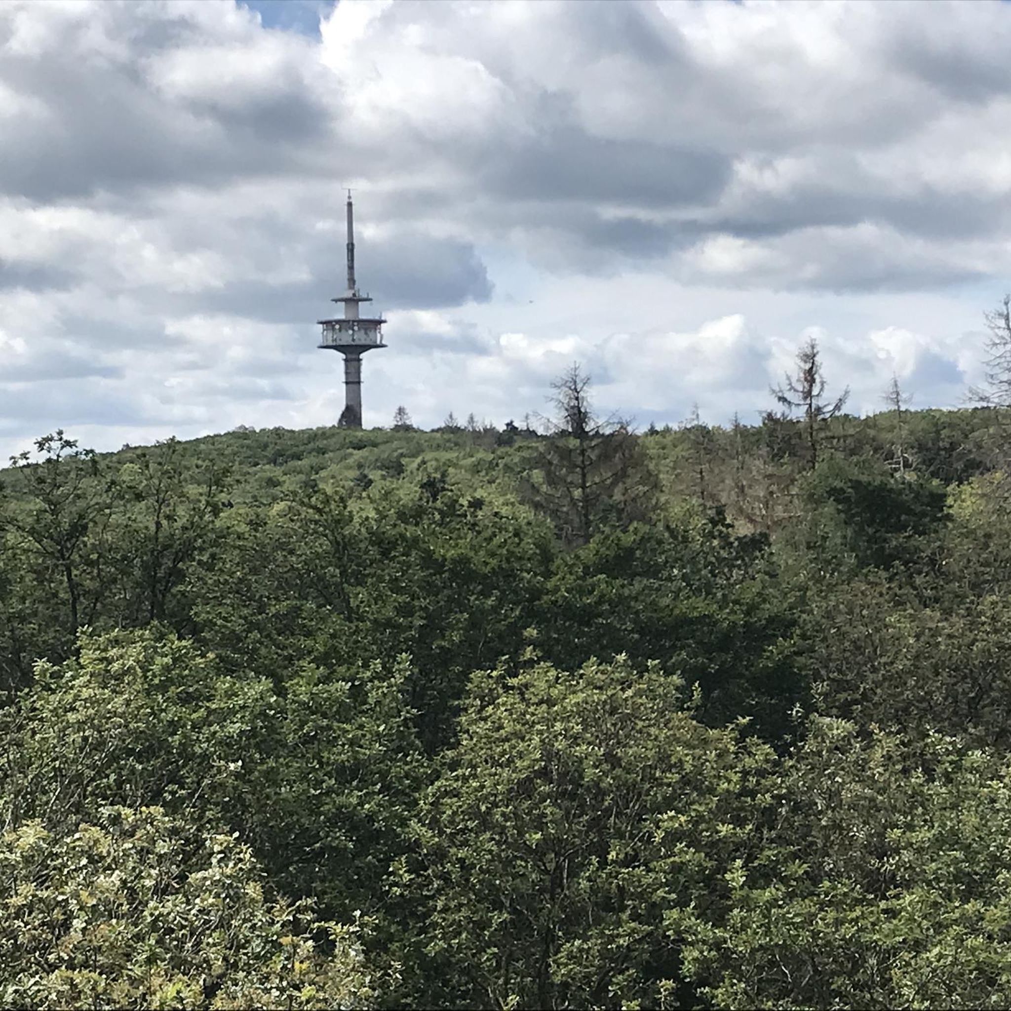
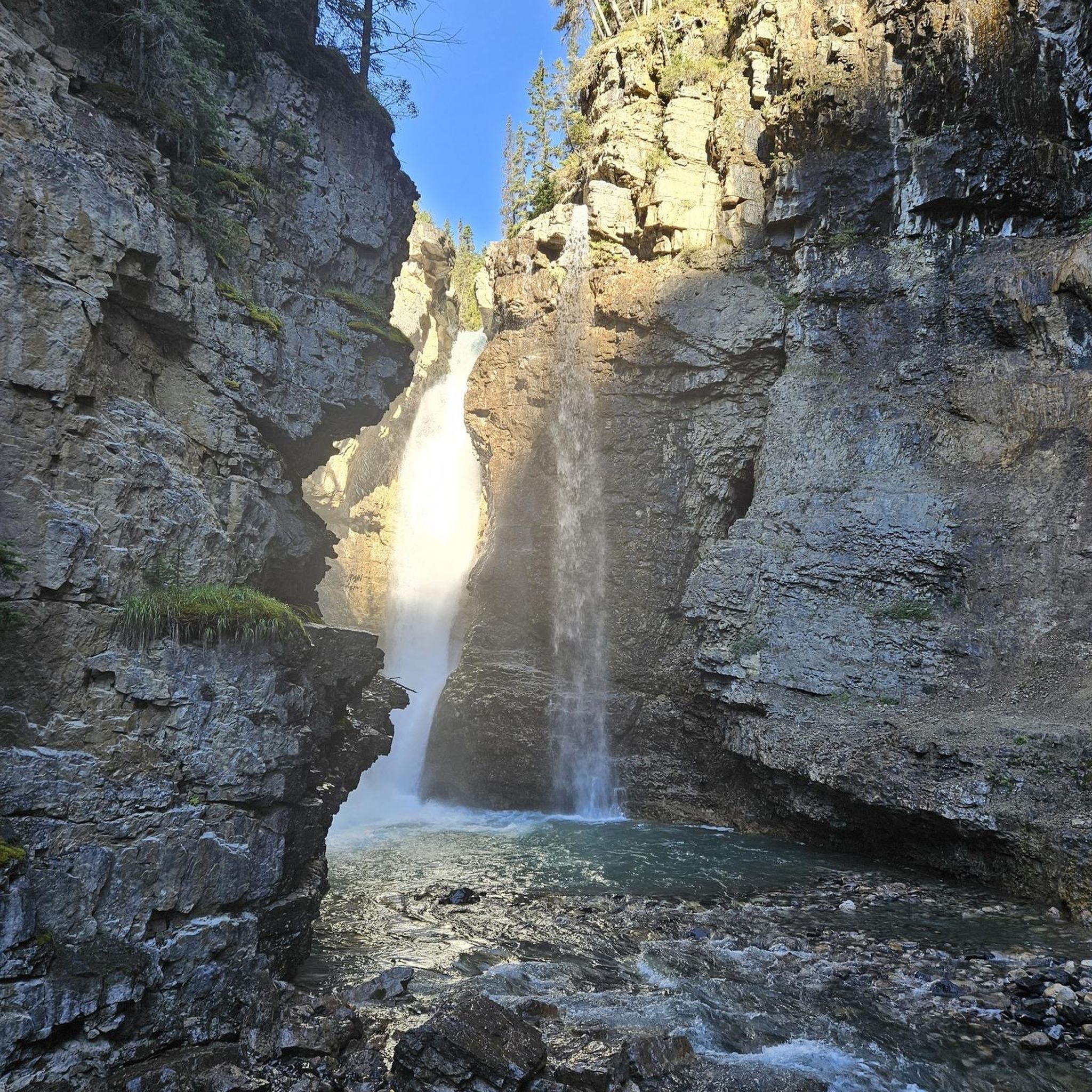

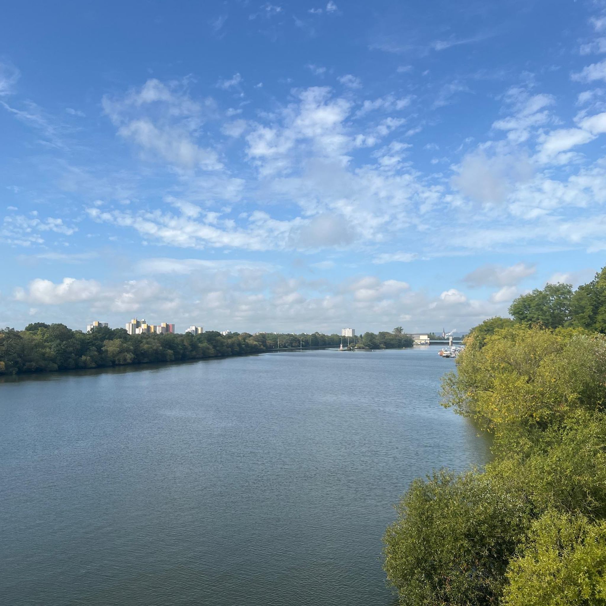
Other adventures around Kreis Steinfurt


Tips from the Community


A nice opportunity for a break at the Mühlenteich in Brochterbeck
0
0

Wonderful place to take a break.
0
0

In spring a beautiful forest path in the green. You can already smell the wild garlic from afar ;)
0
0

In Trecklenburg you can find the observation tower in the castle ruins. It is closed, but the key can be obtained for a deposit at the Haus des Gastes in the town. However, I found no information about this anywhere. The ruins themselves are beautiful. The view from the observation platform, however, is not so good. Nevertheless, it is worth it.
6
0

A lovely spot by the mill pond. The wooden footbridge takes you right to the water. There are also benches where you can enjoy the idyllic view.
0
0
Here you hike over hill and dale, enjoying the magnificent nature around you. A beautiful path where you feel truly connected to the forest.
0
0
A lovely spot to enjoy the view of the Nasse Dreieck (Wet Triangle). Benches and places to eat invite you to take a break.
0
0
Frequently Asked Questions
How many easy hiking trails are available in Kreis Steinfurt?
Kreis Steinfurt offers a wide selection of easy hiking trails, with over 3,400 routes suitable for all skill levels. The komoot community has explored more than 5,100 trails in total across the region.
What kind of landscapes can I expect on easy hikes in Kreis Steinfurt?
Easy hikes in Kreis Steinfurt feature diverse landscapes, including gentle hills, tranquil moorlands like the Emsdettener Venn, and picturesque river valleys along the Ems. You'll also find extensive green spaces and lakes, such as those in Bagno Landscape Park.
Are there any unique natural attractions on easy trails in Kreis Steinfurt?
Yes, some easy trails lead to unique natural features. For instance, the Canyon route – Teutoschleifen explores the distinct landscape of the Lengericher Canyon, a former limestone quarry. While the Dörenther Klippen are generally more moderate, some viewpoints might be accessible on easier paths.
Which easy trails are suitable for families with children?
Many easy trails in Kreis Steinfurt are suitable for families. The Rheine-Steinfurt Nature Zoo offers well-signposted, pram-friendly circular routes, perfect for combining animal encounters with a walk. Generally, routes with minimal elevation gain and shorter distances, like the Köllbachtal – Teutoschleifen (5 km), are great options.
Can I bring my dog on easy hikes in Kreis Steinfurt?
Most easy hiking trails in Kreis Steinfurt are dog-friendly, but it's always recommended to keep your dog on a leash, especially in nature reserves or near wildlife. Trails through woodlands and open fields, such as the Waldauenweg – Teutoschleifen, are generally good choices for walks with your canine companion.
Are there easy circular hiking routes in the region?
Yes, many easy trails in Kreis Steinfurt are designed as circular routes, offering convenient starting and ending points. Examples include the Sloopsteen lake tour – Teutoschleifen and the Brochterbeck country Tour – Teutoschleifen, which allow you to return to your starting point without retracing your steps.
What are some historical or cultural sights I can see on easy hikes?
Kreis Steinfurt integrates history with nature. You can find routes that pass by historic castles like Burgsteinfurt Castle and Bentheim Water Castle. The Bagno Landscape Park also features historical buildings, including a baroque music theatre, which can be explored on easy walking paths.
What is the best time of year for easy hikes in Kreis Steinfurt?
Spring and autumn are particularly recommended seasons for hiking in Kreis Steinfurt. Spring offers blooming flowers, while autumn provides vibrant foliage, creating a picturesque backdrop for your outdoor adventures. The gentle terrain makes these trails enjoyable even in milder winter conditions.
Are there viewpoints or scenic spots on easy trails?
While some of the most dramatic viewpoints like the Crouching Woman at Dörenther Klippen might involve slightly more challenging sections, many easy trails offer pleasant scenic spots. The Sloopsteen lake tour – Teutoschleifen, for example, provides lovely views of Sloopsteen lake and its natural surroundings.
What do other hikers say about the easy trails in Kreis Steinfurt?
The easy trails in Kreis Steinfurt are highly regarded by the komoot community, with an average rating of 4.5 stars from over 39,000 reviews. Hikers often praise the well-maintained paths, the diverse and tranquil landscapes, and the clear signposting of the Teutoschleifen routes.
Are there easy trails that pass by rivers or water features?
Yes, the region features picturesque river valleys. The scenic banks of the Ems River offer idyllic paths for leisurely strolls. Additionally, the Sloopsteen lake tour – Teutoschleifen provides views of Sloopsteen lake.
What is the typical duration for an easy hike in Kreis Steinfurt?
The duration of easy hikes varies, but many popular routes can be completed within 1.5 to 2.5 hours. For example, the Canyon route – Teutoschleifen is about 1 hour 36 minutes, while Tecklenburg Romanticism – Teutoschleifen takes around 1 hour 58 minutes.
Are there easy trails suitable for beginners?
Absolutely. The term 'easy' in this guide specifically caters to beginners or those looking for relaxed walks. Trails like the Dreikaiserstuhl – Teutoschleifen, at just under 4 km, are perfect for those new to hiking or seeking a gentle outdoor experience.
Most popular routes around Kreis Steinfurt
Most popular attractions around Kreis Steinfurt

Get inspired with the komoot mobile app


Didn’t find what you were looking for?
Check out more Hikes throughout Kreis Steinfurt below and find the perfect route in your destination.
Explore more
Browse the best Hikes in other regions.
