The best walks and hikes around Gohrisch
4.7
(14355)
44,773
hikers
158
hikes
Hiking around Gohrisch offers access to the distinctive landscapes of the Elbe Sandstone Mountains within the Saxon Switzerland National Park. The region is characterized by unique sandstone rock formations, including isolated table mountains such as Gohrisch (Gohrischstein), Papststein, and Pfaffenstein. Hikers will find a network of trails winding through lush forests and picturesque valleys, providing diverse terrain. This area features significant elevation changes and numerous viewpoints.
Best hiking trails around Gohrisch
- The most popular hiking route is The Falkenschlucht and…
Last updated: October 1, 2026
4.6
(450)
1,416
hikers
Moderate hike. Good fitness required. Mostly accessible paths. Sure-footedness required.
4.8
(273)
898
hikers
9.08km
02:46
300m
300m
Moderate hike. Good fitness required. Mostly accessible paths. Sure-footedness required.

4.7
(221)
677
hikers
14.3km
04:16
430m
430m
Moderate hike. Good fitness required. Mostly accessible paths. Sure-footedness required.
4.4
(38)
124
hikers
3.65km
01:01
70m
70m
Easy hike. Great for any fitness level. Easily-accessible paths. Suitable for all skill levels.
4.9
(594)
1,545
hikers
5.29km
01:40
190m
190m
Moderate hike. Great for any fitness level. Mostly accessible paths. Sure-footedness required.
Get access to more routes and recommendations from other explorers.
Already have an account?
Our route recommendations are based on thousands of hikes, rides, and runs completed by other people on komoot.
Start today with a free account
Your next adventure awaits.
Popular around Gohrisch
Forststeig – 7 days in the wild, remote sandstone mountains
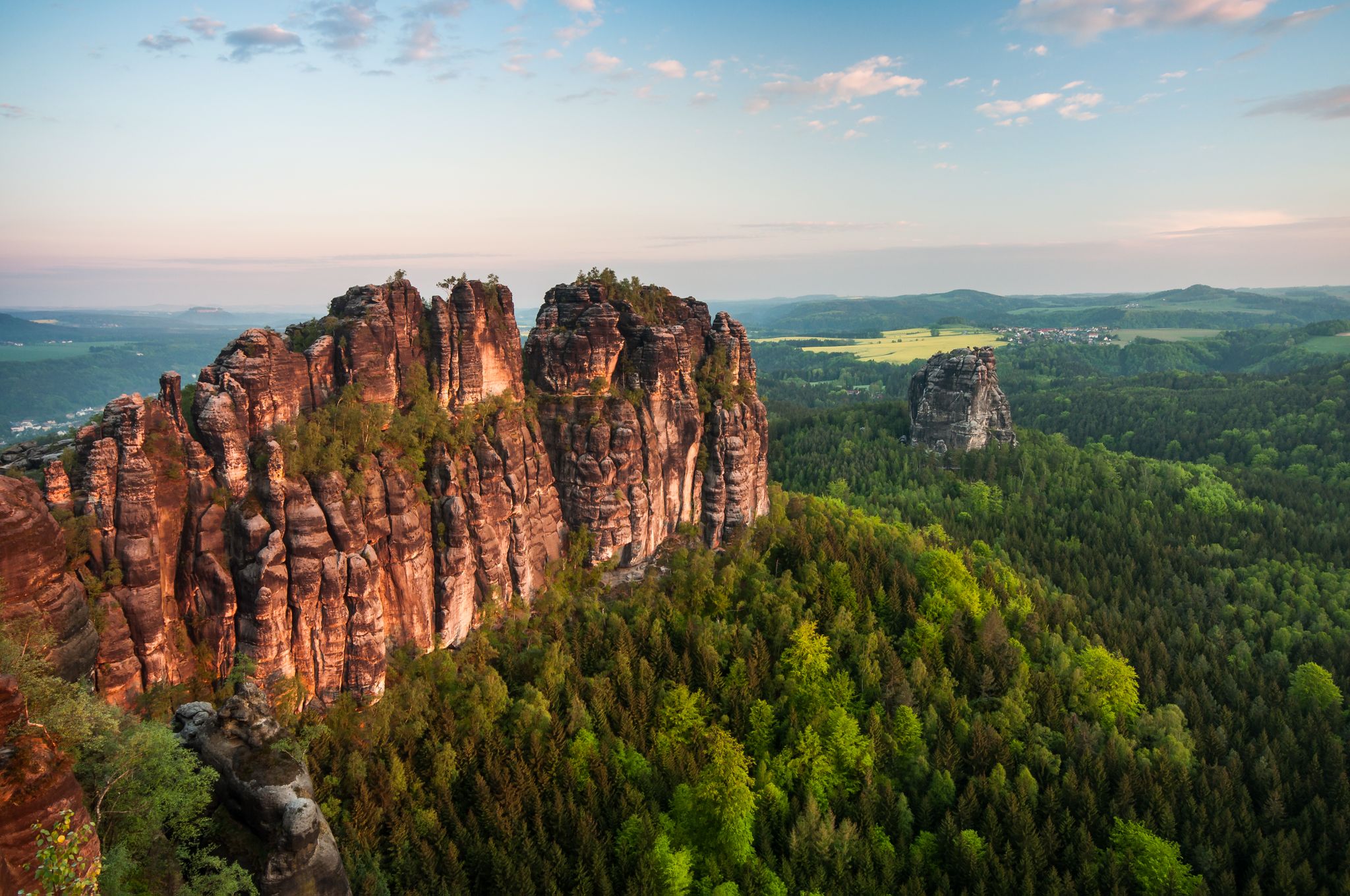
Malerweg — following the trails of the artists in Saxon Switzerland
National Park Region Saxon Switzerland: Hiking Recommendations 2023
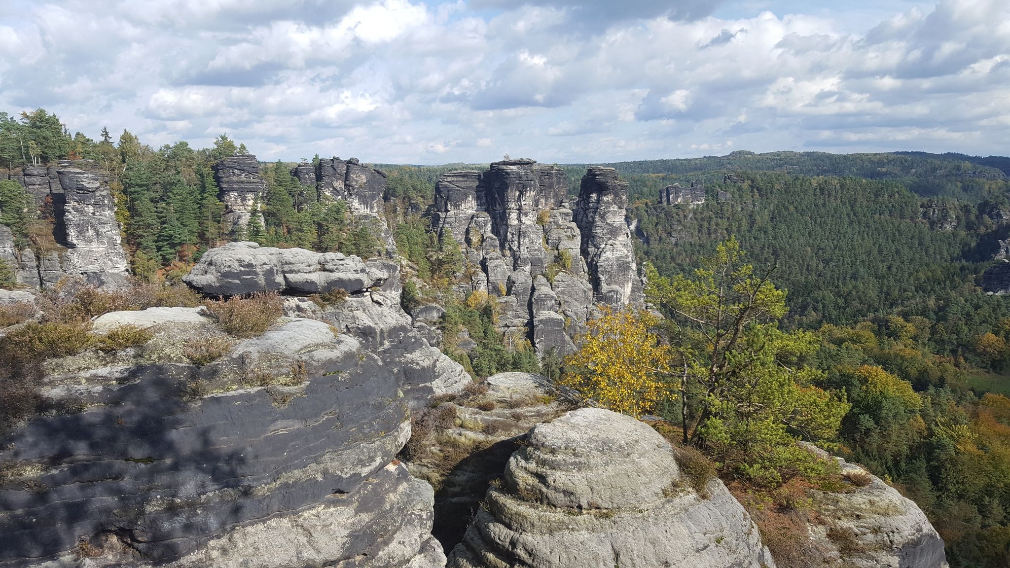
Saxon Switzerland - Adventures for Everyone
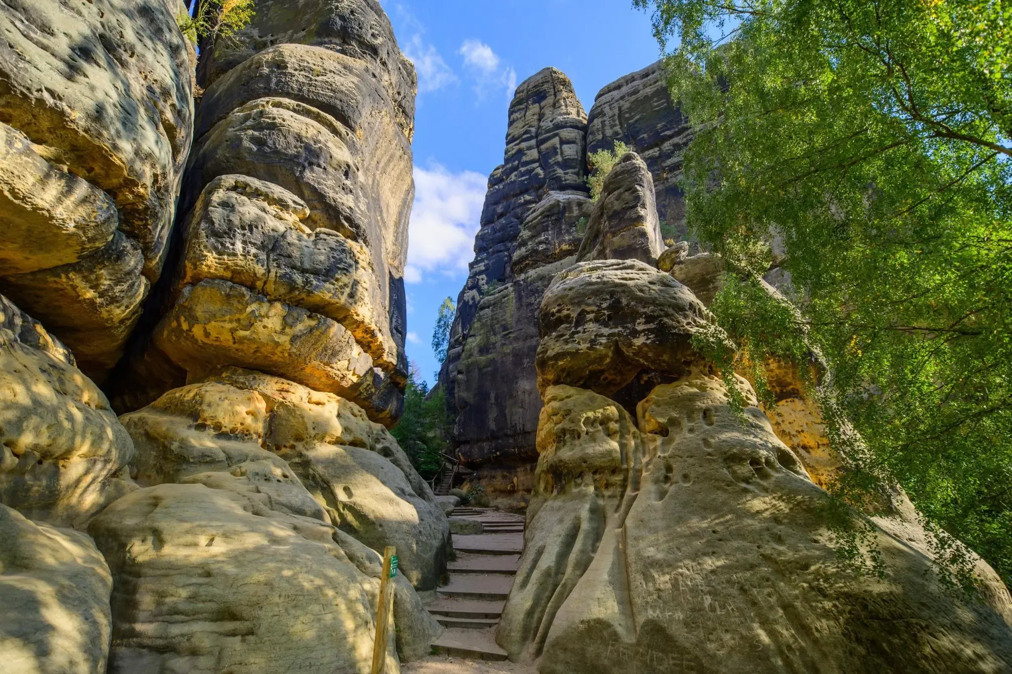
Malerweg – Trail running in Germany's dramatic Saxon Switzerland area
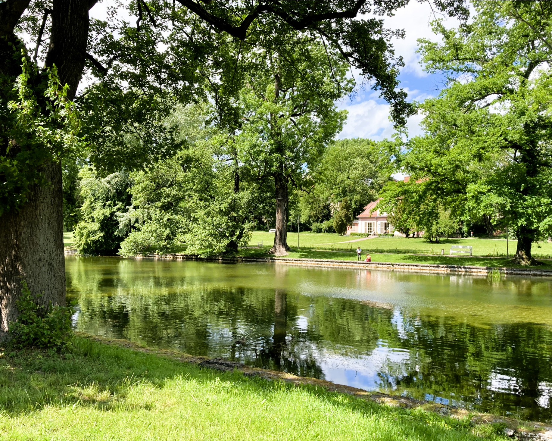
Das Rascheln der Blätter – Natur trifft Kultur zur Buchmesse
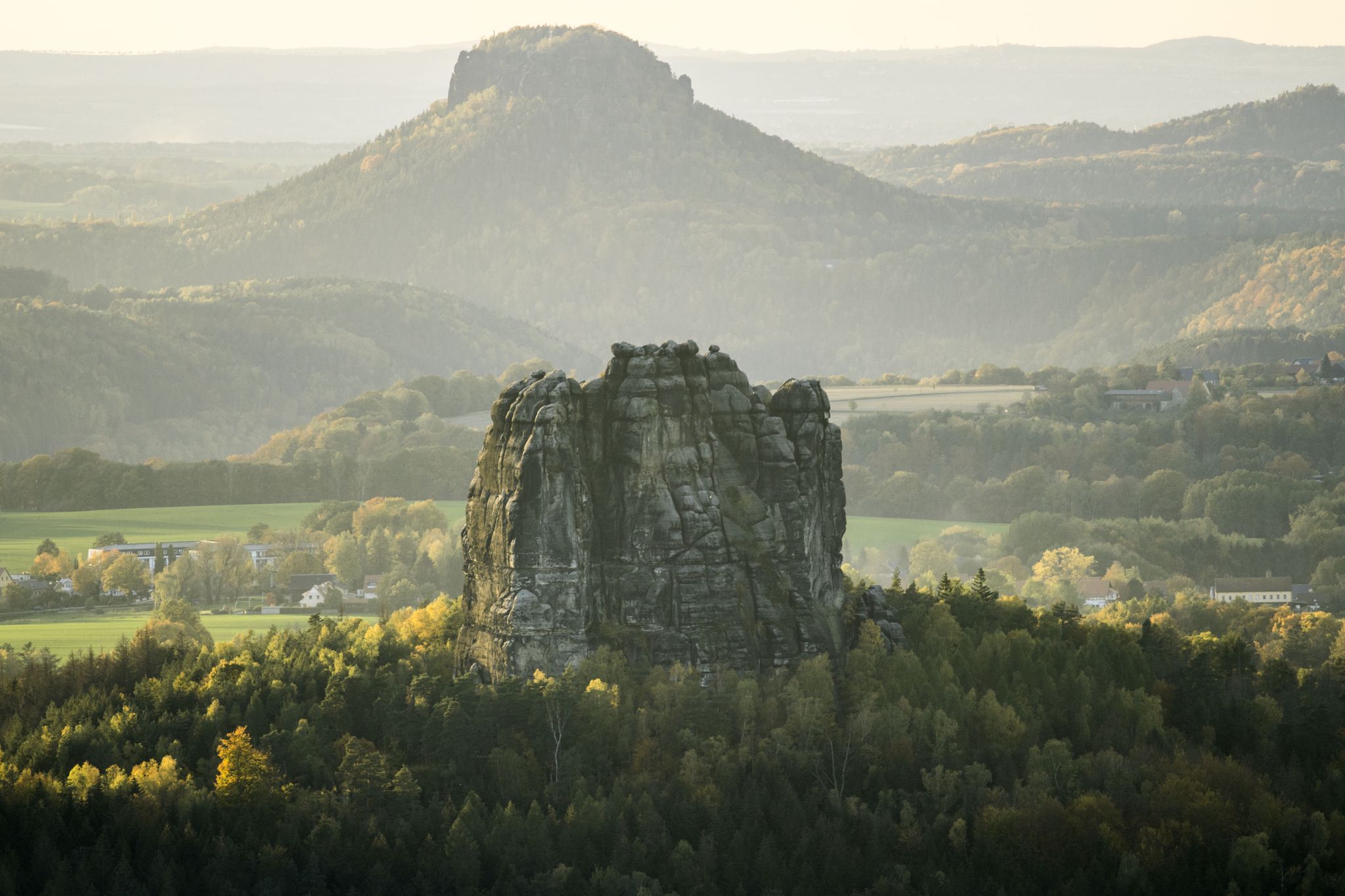
Wanderempfehlungen Nationalparkregion Sächsische Schweiz
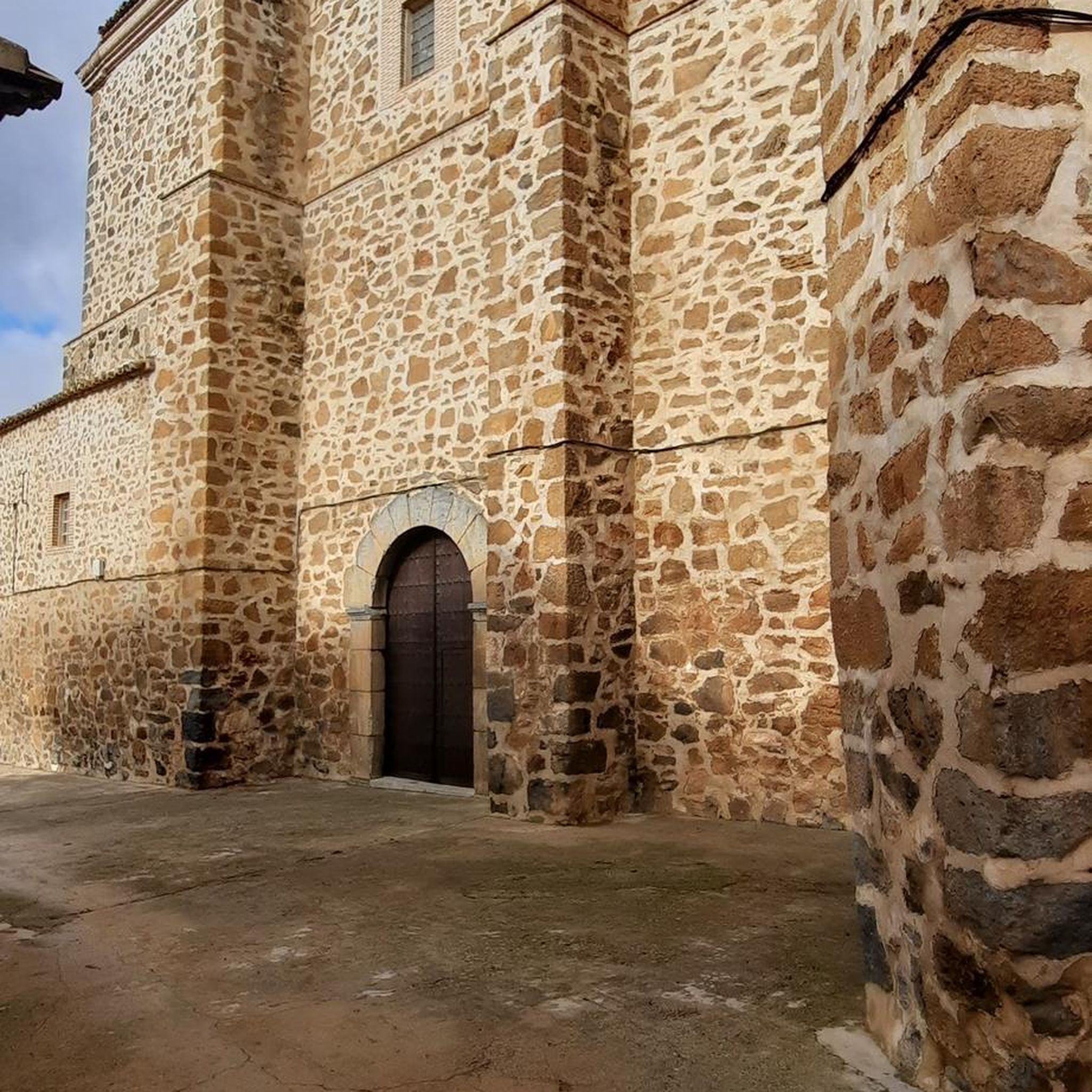
Gravel biking around Gohrisch
Road Cycling Routes around Gohrisch
Cycling around Gohrisch
Other adventures around Gohrisch


Tips from the Community

Very nicely laid out, very interesting for young and old 👍
0
0

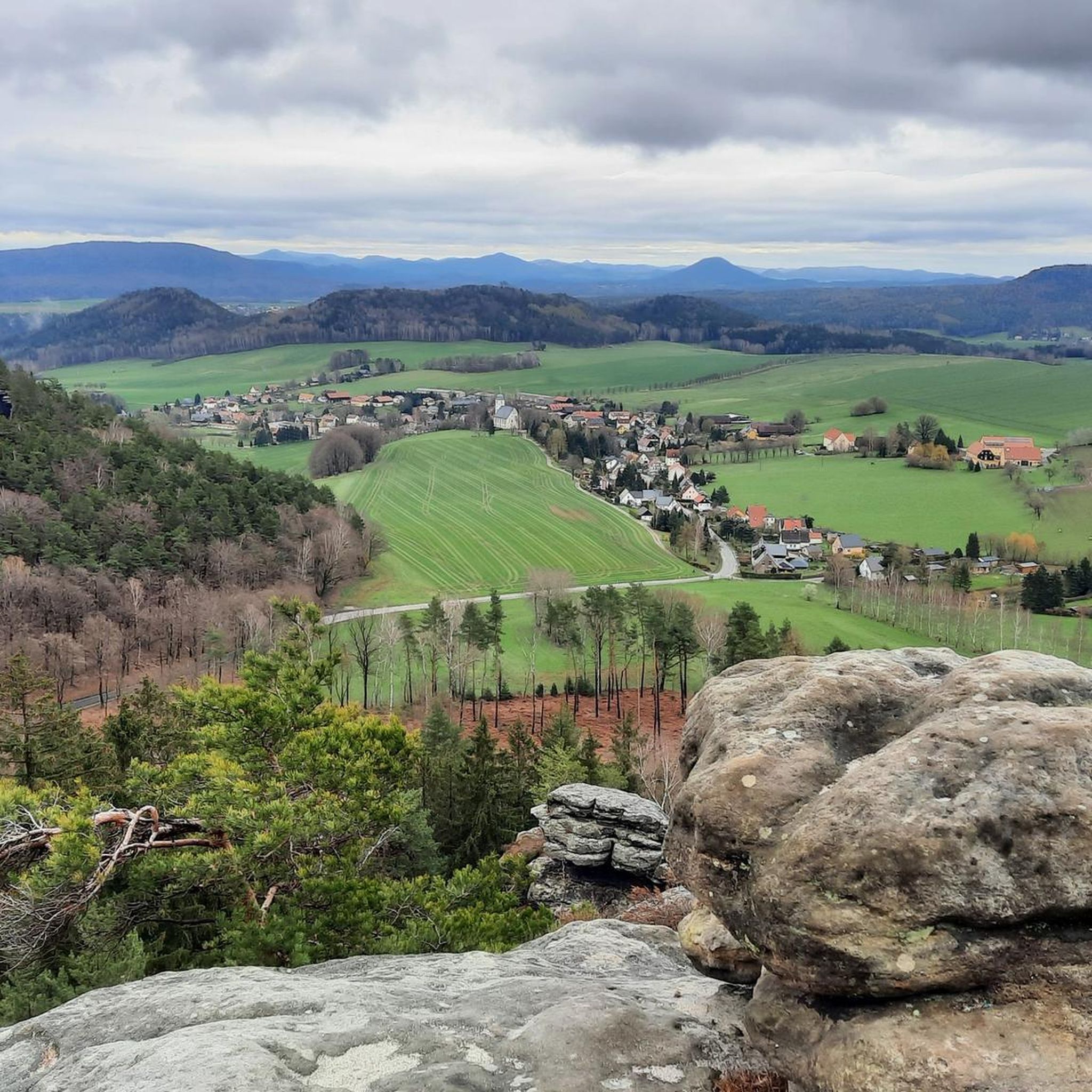
The Papststein is a 451-meter-high plateau above Papstdorf in the municipality of Gohrisch. Two accessible access routes lead up to the plateau via steps and rock crevices. Along the paths and summits, there are several viewpoints offering spectacular views of the Elbe Sandstone Mountains.
1
0
The educational trail, 3.8 km in length, was created between 1997 and 1998 by students and teachers of the Papstdorf Middle School with support from the Ministry of Culture with funding, the Saxon Switzerland National Park Authority, the Gohrisch Local History Association, and many others. Note on the educational trail 19 panels provide information on forests, animals, geology, and local history 13 panels pose test questions A brochure with information and test forms is available at the Tourist Information in the spa town of Gohrisch. The entire educational trail is very easy to find, as it is marked with its own hiking trail sign. See: https://www.gohrisch.de/tourismus/lehrpfad.html
1
0
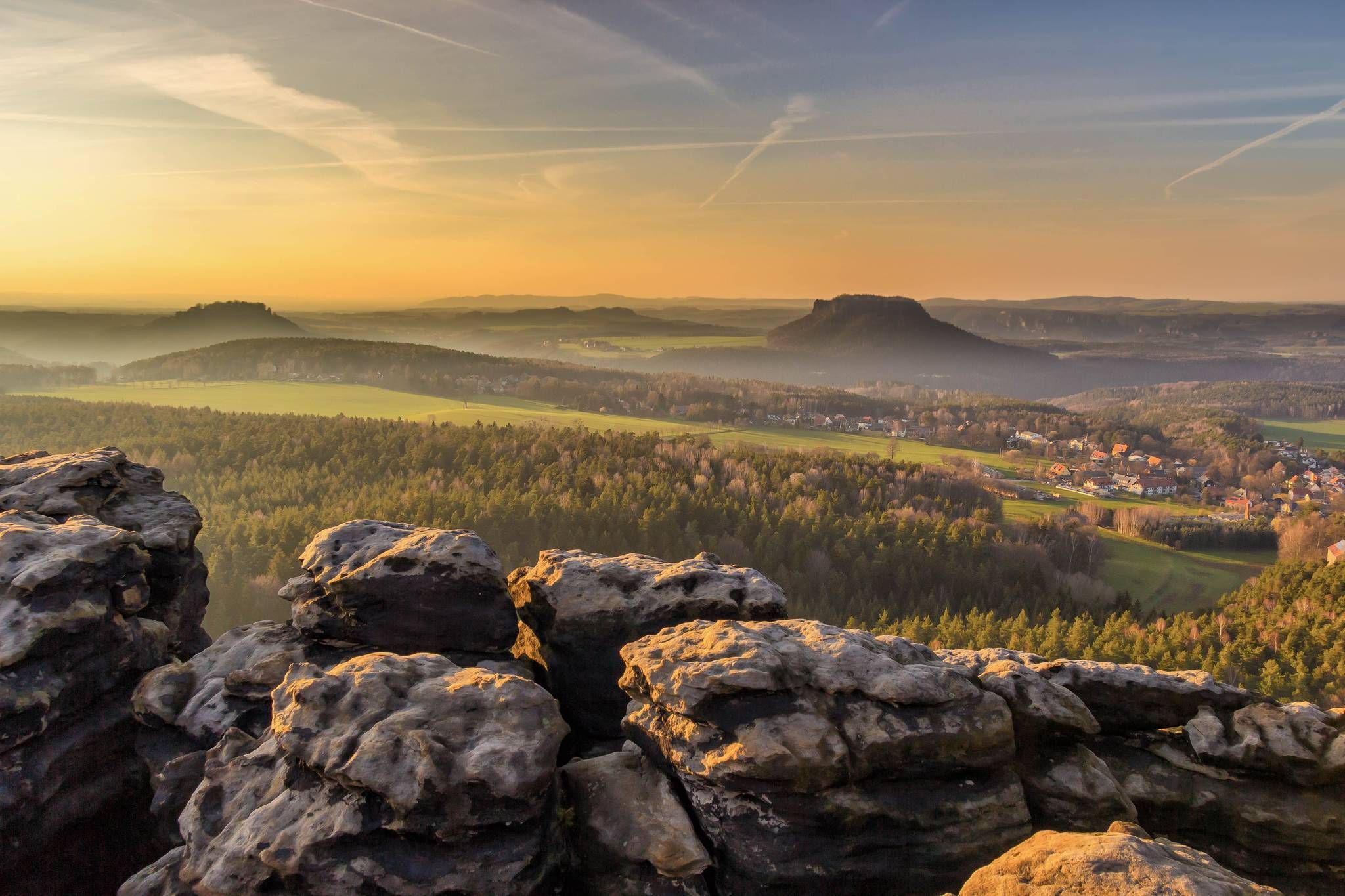
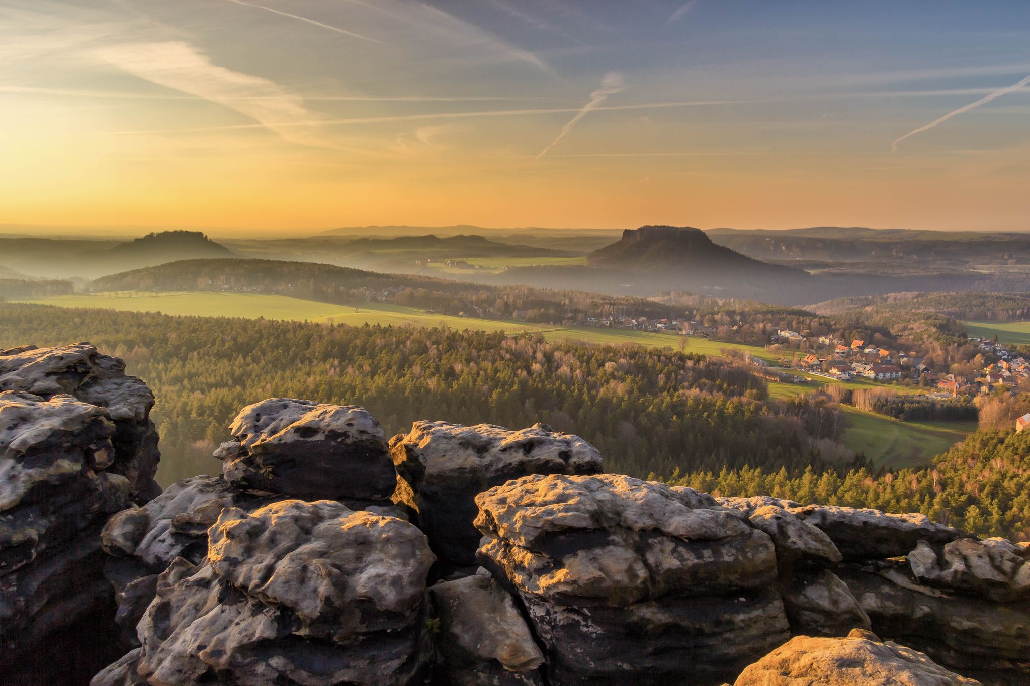
The Gohrisch (incorrectly also Gohrischstein), 447.8 m above sea level, is a table mountain in Saxon Switzerland on the left bank of the Elbe. Its name derives from the Slavic word gora, meaning mountain. The Gohrisch is located about four kilometers southeast of Königstein and about three kilometers southwest of Bad Schandau in the middle of a plateau (flatness) dominated by other similar rocky mountains. The surrounding mountains are the Papststein, the Kleinhennersdorfer Stein, and the Laasensteine. For tourism, this microregion in Saxon Switzerland is often referred to as the Area of Stones. At the foot of the Gohrisch lie the small towns of Kurort Gohrisch and Papstdorf, which belong to the municipality of Gohrisch. On the eastern side, a soapstone tunnel bears witness to earlier mining attempts. In the immediate vicinity is a small, overgrown quarry where basalt was mined for road gravel. See: https://de.wikipedia.org/wiki/Gohrisch_(Berg)
2
0


It's just incredibly beautiful here 😊.
0
0
It's just incredibly beautiful here 😊.
2
0

Frequently Asked Questions
What types of hiking trails can I find around Gohrisch?
Gohrisch offers a diverse network of trails catering to various skill levels. You'll find everything from easy, family-friendly paths to more challenging routes with significant elevation changes. The landscape is characterized by unique sandstone rock formations, lush forests, and picturesque valleys, including distinctive table mountains like Gohrisch (Gohrischstein) and Papststein.
Are there any easy or family-friendly hiking options in Gohrisch?
Yes, Gohrisch has 47 easy trails suitable for families and those seeking a more relaxed walk. One excellent option is Rund um den Gohrisch auf dem Bodenlehrpfad Sächsische Schweiz, an easy 3.6 km route that takes about an hour and offers an informative experience on the Saxon Switzerland soil nature trail.
What are some notable natural features or landmarks to see while hiking in Gohrisch?
The region is famous for its distinctive isolated table mountains, including Gohrisch (Gohrischstein), Papststein, and Pfaffenstein. Many trails lead to panoramic viewpoints. You can also explore the unique Schwedenlöcher gorge or visit the iconic Bastei Bridge, which is easily accessible from Gohrisch.
Are there any circular hiking routes available in Gohrisch?
Yes, many trails in Gohrisch are designed as circular routes, allowing you to start and end at the same point. A popular moderate circular journey is the Cunnersdorfer Rundweg to Katzstein, which covers about 9.1 km through varied forest and valley terrain. Another loop option is the East ascent Gorischstein – Eye of a needle loop from Gohrisch.
What is the best time of year to go hiking in Gohrisch?
Gohrisch is beautiful throughout the year, but spring and autumn offer particularly pleasant conditions with mild temperatures and vibrant foliage. Summer is also popular, though trails can be busier. Winter hiking is possible, but some paths, especially those involving steps and ladders on the table mountains, may require extra caution due to ice or snow.
What do other hikers say about the trails in Gohrisch?
The hiking trails in Gohrisch are highly regarded by the komoot community, with an average rating of 4.7 stars from over 11,000 reviews. Hikers frequently praise the stunning panoramic views from the table mountains, the well-maintained paths, and the unique sandstone rock formations that define the Saxon Switzerland landscape.
Are there any trails that lead to scenic viewpoints?
Absolutely. Gohrisch is renowned for its numerous viewpoints. The summit of Gohrisch Mountain (Gohrischstein) offers panoramic vistas, and routes like Through lonely forests to rocky viewpoints are specifically designed to lead you to spectacular overlooks. Papststein also features a restaurant at its summit with great views.
Can I access the hiking trails in Gohrisch using public transport?
Yes, Gohrisch and the surrounding Saxon Switzerland region are generally well-connected by public transport, including buses and trains. Many trailheads are accessible from local bus stops, making it convenient to explore the area without a car. It's advisable to check local timetables for specific routes.
Are there opportunities for more challenging hikes in the area?
For more adventurous hikers, Gohrisch offers 20 difficult trails. While the Schrammsteine mountains, a bit further afield, are known for requiring some scrambling, closer options like the ascent to Pfaffenstein can present challenging routes through narrow rock gates with many steps and ladders, offering a rewarding experience.
What is the typical duration of hikes around Gohrisch?
Hikes around Gohrisch vary significantly in duration. Easy trails like the Saxon Switzerland soil nature trail can be completed in about an hour. Moderate routes, such as The Falkenschlucht and other surprises around the Gohrisch, typically take around 2 hours 41 minutes. Longer moderate trails, like Through lonely forests to rocky viewpoints, can take over 4 hours.
Are there any places to eat or drink near the hiking trails?
Yes, you'll find options for refreshments. Papststein, for example, has a restaurant at its summit, providing a convenient stop for hikers. Additionally, the villages and towns in the Gohrisch area offer various cafes and pubs where you can refuel after your hike.
Most popular routes around Gohrisch
Most popular attractions around Gohrisch

Get inspired with the komoot mobile app


Explore more
Browse the best Hikes in other regions.
