Easy hikes and walks around Bewerley
4.6
(2332)
18,895
hikers
56
hikes
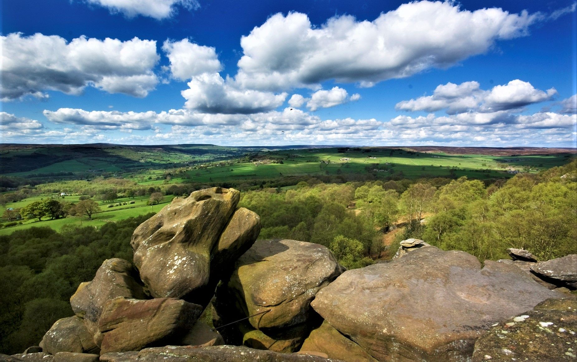
Easy hiking trails around Bewerley are set within the Nidderdale Area of Outstanding Natural Beauty, characterized by diverse landscapes including rolling hills, ancient woodlands, and river valleys. The region features notable geological formations like Brimham Rocks and the limestone landscapes around Coldstones Quarry. The River Nidd meanders through the area, offering tranquil waterscapes alongside well-maintained paths.
Best easy hiking trails around Bewerley
- The most popular easy hiking route is Wath Lane and River Nidd loop from Pateley Bridge — Nidderdale…
Last updated: August 17, 2026
4.7
(12)
47
hikers
5.49km
01:43
200m
200m
Easy hike. Great for any fitness level. Easily-accessible paths. Suitable for all skill levels.
3.5
(2)
8
hikers
4.45km
01:16
100m
100m
Easy hike. Great for any fitness level. Easily-accessible paths. Suitable for all skill levels.

Sign up for free
4.2
(10)
71
hikers
Easy hike. Great for any fitness level. Easily-accessible paths. Suitable for all skill levels.
4.7
(12)
38
hikers
5.34km
01:30
110m
110m
Easy hike. Great for any fitness level. Easily-accessible paths. Suitable for all skill levels.
3.0
(1)
62
hikers
Easy hike. Great for any fitness level. Easily-accessible paths. Suitable for all skill levels.
Get access to more routes and recommendations from other explorers.
Sign up for free
Already have an account?
Our route recommendations are based on thousands of hikes, rides, and runs completed by other people on komoot.
Start today with a free account
Your next adventure awaits.
Login or Signup
Popular around Bewerley
Other adventures around Bewerley

Tips from the Community

Glasshouses Mill, which the dam served, was initially a corn mill but later transitioned to flax processing in the early 1800s. The dam was built in 1850 by brothers John and George Metcalfe, who expanded the mill and its operations. The mill was a prosperous business, employing around 250 people and known for its responsible employment practices. By the late 19th century, the decline of linen led local mills to produce jute and hemp, but Glasshouses Mill continued flax spinning until the death of George Metcalfe Jr. in 1898. Following his death, the mill struggled, eventually declaring bankruptcy in 1907. The dam is now a recreational area, offering opportunities for fishing, skating in winter, and water sports in summer, although it was literally bone dry when I passed in May 2025 (see photos).
0
0
Quintessentially pretty market town, arrive early to find suitable parking, best place is next to the showground on the southern side of the bridge over the River Nidd. Honesty box only (no payment cards), cheap at £1 up to 4 hours and £2 all day (spring 2025 prices). The southern end of Nidderdale around Pateley Bridge has one of the densest concentrations of public footpaths in North Yorkshire, so loads of routeing options. See the North Yorks public rights of way map at https://maps.northyorks.gov.uk/connect/analyst/mobile/#/main?mapcfg=Out_and_About
1
0
Great views both up and downstream, with parking on both sides of the bridge. The car park on the southern side, next to the cricket pitch and showground, is quite big and now relies on an honesty box for payment.
1
0
Set below the imposing Castlestead, a 19th century house that has been used as a boarding school, hydropathic establishment, and to house Officers during the Second World War and then children from Hull Sailors' Orphanage. Great unobstructed views of the weir from the footpath.
1
0

Nice friendly pub with great food and a nice outside area
0
0

St. Mary’s Church, now in ruins, was the parish church of Pateley Bridge until 1827. The church began to fall into decay at the start of the 19th century and it was closed in 1826 when it became too small for the congregation, too expensive to repair and too inconvenient to reach.
0
0
A small but quaint town in the Yorkshire Dales.
0
0

Weir on the River Nidd between Pateley Bridge and Glasshouses
1
0
Frequently Asked Questions
How many easy hiking trails are available around Bewerley?
Bewerley and the surrounding Nidderdale Area of Outstanding Natural Beauty offer a wide selection of easy hiking trails. There are over 25 easy routes available, providing plenty of options for gentle exploration of the area's diverse landscapes.
What is the typical length and duration of easy hikes in Bewerley?
Easy hikes around Bewerley generally range from 2.8 miles (4.5 km) to 3.4 miles (5.5 km) in length. Most of these trails can be completed in about 1 hour 15 minutes to 1 hour 45 minutes, making them ideal for a leisurely outing.
What kind of terrain can I expect on easy trails in Bewerley?
The easy trails in Bewerley feature varied terrain, including riverside paths along the River Nidd, gentle ascents through ancient woodlands like Fishpond Wood, and well-maintained tracks through picturesque dales. While generally flat or with minimal elevation changes, some paths may involve natural surfaces.
Are there family-friendly easy walks in Bewerley?
Yes, Bewerley is an excellent destination for family-friendly walks. Many easy routes are suitable for all ages, offering gentle paths through woodlands and along rivers. For example, the Eagle Hall and Fishpond Wood loop is a great option, leading through an ancient woodland with a historic pond.
Are dogs allowed on the easy hiking trails around Bewerley?
Many easy hiking trails around Bewerley are dog-friendly, allowing you to enjoy the beautiful scenery with your canine companion. However, it's always advisable to keep dogs on a lead, especially when passing through livestock areas or nature reserves, to protect wildlife and farm animals.
Are there circular easy walks available in Bewerley?
Yes, many of the easy trails around Bewerley are circular, allowing you to start and end at the same point without retracing your steps. Popular circular options include the Wath Lane and River Nidd loop and the Stone Bridge, Pateley Bridge – Market Town loop.
What scenic viewpoints or natural features can I see on easy hikes?
Easy hikes in Bewerley offer access to stunning natural features. You can enjoy tranquil waterscapes along the River Nidd, explore ancient woodlands like Fishpond Wood, and discover unique geological formations. While not directly on easy routes, the dramatic rock formations of Brimham Rocks are a notable nearby feature, and Yorke's Folly offers panoramic vistas over Nidderdale. You can also visit Pateley Bridge — Market Town.
What do other hikers enjoy most about easy hiking in Bewerley?
The easy hiking trails in Bewerley are highly rated by the komoot community, with an average score of 4.6 stars. Reviewers often praise the well-maintained paths, the peaceful riverside walks, and the beauty of the ancient woodlands, highlighting the area's suitability for relaxed and enjoyable outdoor experiences.
Are there any interesting landmarks or attractions near the easy trails?
Beyond the natural beauty, you can find several interesting landmarks. The Pateley Bridge — Market Town is a charming stop, and the historic Fishpond Wood is a feature on some routes. For a deeper dive into the region's heritage, consider exploring sections of the Bewerley Industrial Heritage Trail, which includes sites like Toft Gate Lime Kiln and The Coldstones Cut.
Is public transport available to access easy hiking trails in Bewerley?
Bewerley and nearby Pateley Bridge are served by local bus routes, which can provide access to the starting points of some easy hiking trails. It's recommended to check local bus schedules for the most up-to-date information on routes and timings to plan your journey.
Where can I find parking for easy walks in Bewerley?
Parking is generally available in and around Pateley Bridge, which serves as a common starting point for many easy trails in the Bewerley area. Look for designated car parks in the town, some of which may be pay-and-display. Always check local signage for parking regulations and fees.
What is the best time of year to enjoy easy hikes in Bewerley?
Bewerley's easy hikes can be enjoyed year-round. Spring brings vibrant bluebells to woodlands like Fishpond Wood, while summer offers pleasant temperatures for riverside strolls. Autumn showcases beautiful foliage, and even winter can be picturesque, though some paths might be muddy. Always check weather conditions before heading out.
Most popular routes around Bewerley
Most popular attractions around Bewerley

Get inspired with the komoot mobile app


Explore more
Browse the best Hikes in other regions.
