Easy hikes and walks around Alcoutim e Pereiro e Pereiro e Pereiro
4.6
(366)
1,159
hikers
29
hikes
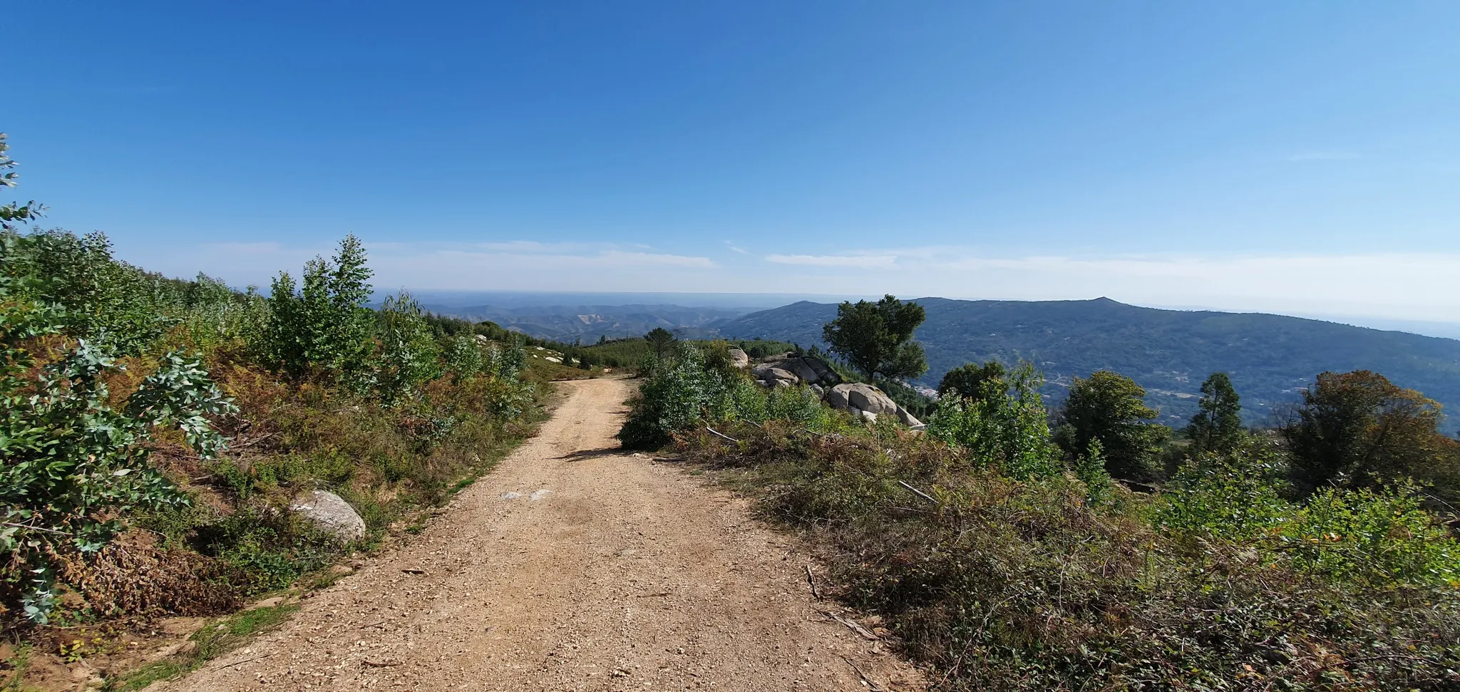
Easy hiking trails around Alcoutim e Pereiro e Pereiro e Pereiro are characterized by the diverse landscape of Portugal's Algarve region. The area features the Guadiana River, forming a natural border and offering riverine paths. The Serra do Caldeirão mountains provide a backdrop, with terrain including cistus plants, holm, oak, and olive trees. Ancient history is present with features like the Menhirs of Lavajo, adding cultural interest to the natural surroundings.
Best easy hiking trails around Alcoutim e Pereiro e…
Last updated: October 17, 2026
4.3
(16)
55
hikers
4.81km
01:22
100m
100m
Easy hike. Great for any fitness level. Easily-accessible paths. Suitable for all skill levels.
4.4
(10)
30
hikers
6.16km
01:39
70m
70m
Easy hike. Great for any fitness level. Easily-accessible paths. Suitable for all skill levels.

4.8
(5)
15
hikers
6.21km
01:47
140m
140m
Easy hike. Great for any fitness level. Easily-accessible paths. Suitable for all skill levels.
5.0
(1)
8
hikers
6.10km
01:45
140m
140m
Easy hike. Great for any fitness level. Easily-accessible paths. Suitable for all skill levels.
3.0
(1)
3
hikers
Easy hike. Great for any fitness level. Easily-accessible paths. Suitable for all skill levels.
Get access to more routes and recommendations from other explorers.
Already have an account?
Our route recommendations are based on thousands of hikes, rides, and runs completed by other people on komoot.
Start today with a free account
Your next adventure awaits.
Popular around Alcoutim e Pereiro e Pereiro e Pereiro
Other adventures around Alcoutim e Pereiro e Pereiro e Pereiro


Tips from the Community

High on a hill near Afonso Vicente, stand the Lavajo Menhirs, Neolithic stone sentinels that have guarded the silence of this valley for over five thousand years. Carved in greywacke and engraved with circles and dimples, these monoliths seem to align themselves in an ancient mystery. Recovered and restored in 2004, they have returned to their original location, inviting passersby to imagine a time when the stone spoke to the sun.
2
0

The castle sits atop a hill overlooking the Guadiana River. The river forms the natural border between Portugal and Spain.
1
0
Originating in the Caldeirão Mountains, this stream meanders down to the Guadiana, preserving one of the best-preserved riverbeds in the river basin along its mountainous course. In winter, it rushes down, carrying mud, sediment, and vegetation debris, carving the valley with sheer force. But it is in spring that it is reborn, crystal clear and fresh, until the summer heat causes it to shrink into thin streams, leaving only shimmering pools in the dry riverbed.
1
0

The "old" castle of Alcoutim is located about one kilometer north of the town, on a hill overlooking the Guadiana River and the Castillo de San Marcos in Spain. The site complements a visit to the Archaeological Museum and is freely accessible.
3
0

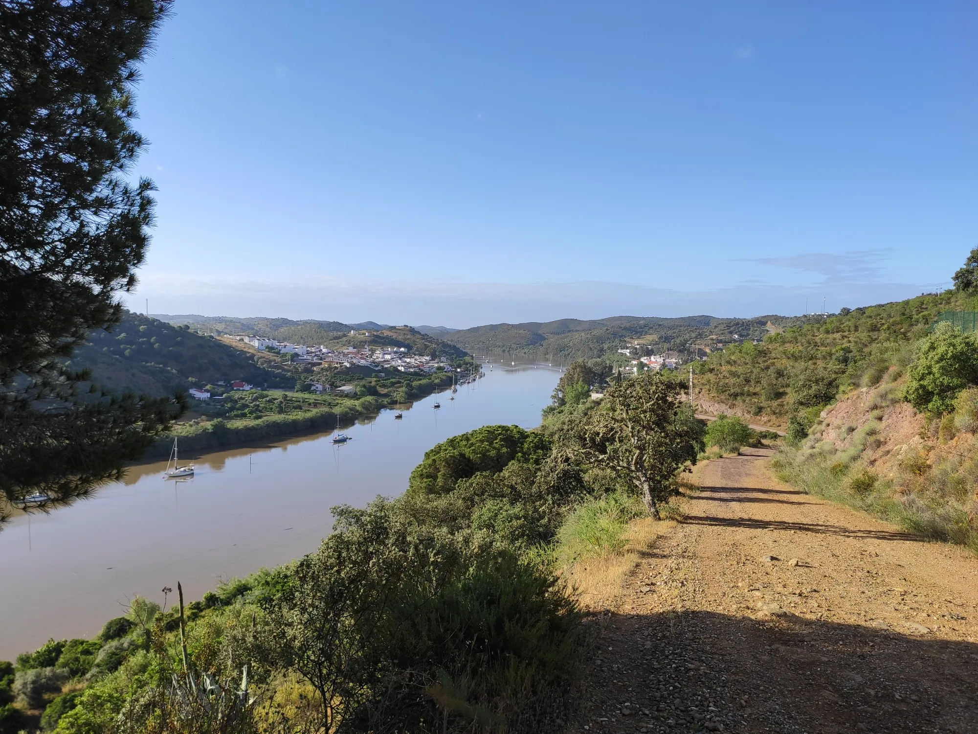
Alcoutim is a small but attractive village in the interior of the Algarve. It is located about 40 kilometers from the coast on the border river with Spain, the Guadiana. The most beautiful sight of Alcoutim is actually the view of its twin village Sanlucar de Guadiana. You can cross by ferry, but also very spectacularly with a zipline. The only one in the world with which you cross the border.
0
0
Alcoutim is a town and municipality in the Faro district of Portugal. The municipality has a total area of 577 km² and had 3,770 inhabitants in 2001. The town of Alcoutim, located in the easternmost part of the municipality on the Spanish border, just across the Guadiana River from the Spanish city of Sanlúcar de Guadiana in the province of Huelva. So you can cross the river to Spain by boat 🇪🇸
1
0

At the eastern end of the route, the road follows the Guadiana River. In this same area there is the Miradouro do Pontal. From here you have a beautiful and privileged view of Rio. Great stopping point before starting the return journey.
1
0
At the eastern end of the route, the road follows the Guadiana River. In this same area there is the Miradouro do Pontal. From here you have a beautiful and privileged view of Rio. Great stopping point before starting the return journey.
3
1
Frequently Asked Questions
How many easy hiking trails are available in Alcoutim e Pereiro?
There are 12 easy hiking trails around Alcoutim e Pereiro, offering diverse scenery from riverine paths to rolling hills. In total, the region features 29 hiking routes across various difficulty levels.
Are there any circular easy hiking routes in Alcoutim e Pereiro?
Yes, several easy circular routes are available. For instance, The Charms of Alcoutim — circular route (PR3) is a popular option, offering varied scenery over 4.8 km. Another is the Lavajo Menhirs – Shamwari Hilltop Retreat loop from Vascão, which is 6.2 km long.
What natural features can I expect to see on easy hikes in Alcoutim e Pereiro?
Easy hikes in Alcoutim e Pereiro often feature the majestic Guadiana River, which forms a natural border with Spain, offering stunning river views. You'll also encounter the backdrop of the Serra do Caldeirão mountains, with landscapes of cistus plants, holm, oak, and olive trees. The region is also home to the Guadiana River itself, and you might spot the Cork Oak Forests of the Algarve.
Are there any historical landmarks or points of interest along the easy trails?
Absolutely. Many easy trails pass by significant historical and cultural sites. You can explore the ancient Lavajo Menhirs, dating back to the Late Neolithic or Chalcolithic period. Some routes also lead past the historic Castelo Velho de Alcoutim, an archaeological site showcasing Islamic military architecture, or the medieval Castelo de Alcoutim.
What are the typical distances and durations for easy hikes in the area?
Easy hikes in Alcoutim e Pereiro typically range from 4.8 km to just over 6 km. For example, The Charms of Alcoutim — circular route (PR3) is about 4.8 km and takes around 1 hour 22 minutes, while the Lavajo Menhirs – Shamwari Hilltop Retreat loop from Vascão is 6.2 km.
What do other hikers say about the easy trails in Alcoutim e Pereiro?
The easy trails in Alcoutim e Pereiro are highly regarded by the komoot community, with an average rating of 4.6 stars from over 190 reviews. Hikers often praise the diverse landscapes, the tranquility, and the well-maintained paths that showcase the region's natural beauty and historical sites.
Are there any viewpoints on the easy hiking trails?
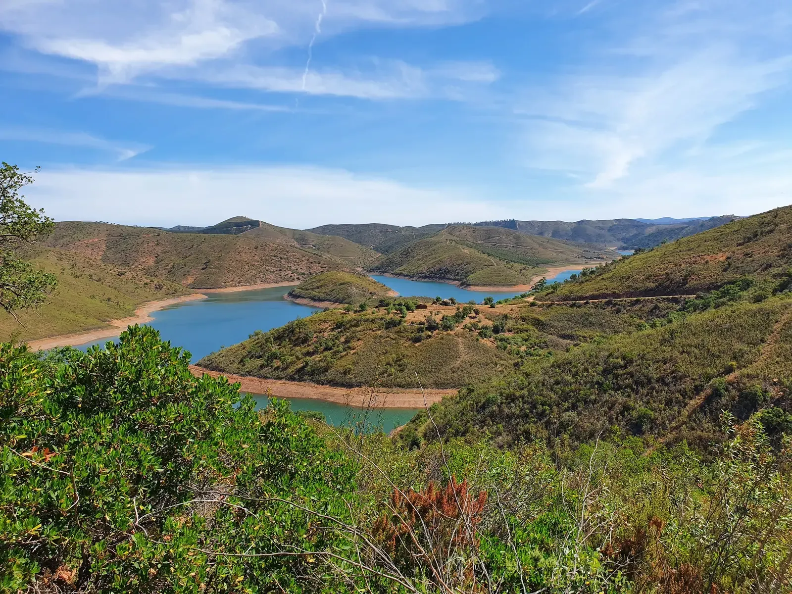
Yes, several easy routes offer scenic viewpoints. For instance, the Pontal Viewpoint – Lake View loop from Baixo Guadiana Footpaths includes the Pontal Viewpoint, providing expansive vistas. Another popular spot is the Viewpoint over the Guadiana River, which can be enjoyed on various trails.
Can I find trails that follow the Guadiana River?
Yes, the Guadiana River is a central feature of the region, and many trails offer riverine paths. The View of the Guadiana River – Castelo Velho de Alcoutim loop from Sanlúcar de Guadiana is an excellent example, leading you through picturesque riverine landscapes.
Are there any easy trails suitable for families with children?
The easy trails in Alcoutim e Pereiro are generally suitable for families, given their moderate distances and minimal elevation gain. Routes like The Charms of Alcoutim — circular route (PR3) are relatively short and offer engaging scenery, making them good options for a family outing.
What is the best time of year for easy hiking in Alcoutim e Pereiro?
The region is pleasant for hiking for much of the year. Spring and autumn offer mild temperatures, ideal for exploring. Even in winter, the riverbeds transform from rushing torrents to shimmering pools, offering unique scenery. Summers can be hot, so early morning or late afternoon hikes are recommended during that season.
Are there any waterfalls or river beaches accessible via easy hikes?
While the Pulo do Lobo (Wolf's Leap) is a notable waterfall on the Guadiana, it might require a slightly more adventurous approach. However, for a relaxing break, the tranquil Praia Fluvial do Pego Fundo, a local river beach, is a popular spot that can be a destination or a stop on some routes.
What kind of terrain can I expect on easy hikes?
The easy hikes in Alcoutim e Pereiro feature diverse terrain, including river valleys, rolling hills, and traditional Portuguese landscapes. Paths are generally well-defined, passing through areas with cistus plants, holm, oak, and olive trees, offering a mix of natural and cultivated scenery.
Most popular routes around Alcoutim e Pereiro e Pereiro e Pereiro
Most popular attractions around Alcoutim e Pereiro e Pereiro e Pereiro

Get inspired with the komoot mobile app


Explore more
Browse the best Hikes in other regions.
