The best walks and hikes around Kettershausen
4.7
(99)
350
hikers
38
hikes
Hiking around Kettershausen, a municipality in Bavaria, Germany, offers routes through the Günz Valley and surrounding forested areas. The region features diverse terrain, including riverside paths along the Günz river and areas with noticeable elevation changes. Trails often traverse extensive forest regions and pass by smaller bodies of water. This landscape provides a mix of paths suitable for various fitness levels.
Best hiking trails around Kettershausen
- The most popular hiking route is Glückskraft (Power of happiness) trail - feel the…
Last updated: August 12, 2026
4.4
(33)
108
hikers
Moderate hike. Good fitness required. Easily-accessible paths. Suitable for all skill levels.
4.6
(8)
38
hikers
9.61km
02:29
50m
50m
Moderate hike. Good fitness required. Easily-accessible paths. Suitable for all skill levels.

Sign up for free
4.5
(8)
30
hikers
11.8km
03:10
140m
140m
Moderate hike. Good fitness required. Easily-accessible paths. Suitable for all skill levels.
4.4
(5)
22
hikers
6.46km
01:41
40m
40m
Easy hike. Great for any fitness level. Easily-accessible paths. Suitable for all skill levels.
4.3
(7)
33
hikers
Moderate hike. Good fitness required. Easily-accessible paths. Suitable for all skill levels.
Get access to more routes and recommendations from other explorers.
Sign up for free
Already have an account?
Our route recommendations are based on thousands of hikes, rides, and runs completed by other people on komoot.
Start today with a free account
Your next adventure awaits.
Login or Signup


Tips from the Community

great paths easily accessible with children..directly on the Günz
0
0

Anyone who likes cake, beer, and German pop music will be happy here.
0
0

very good chicks are available here
0
0


How beautiful! Here, these elegant sailors find a protected home.
1
0
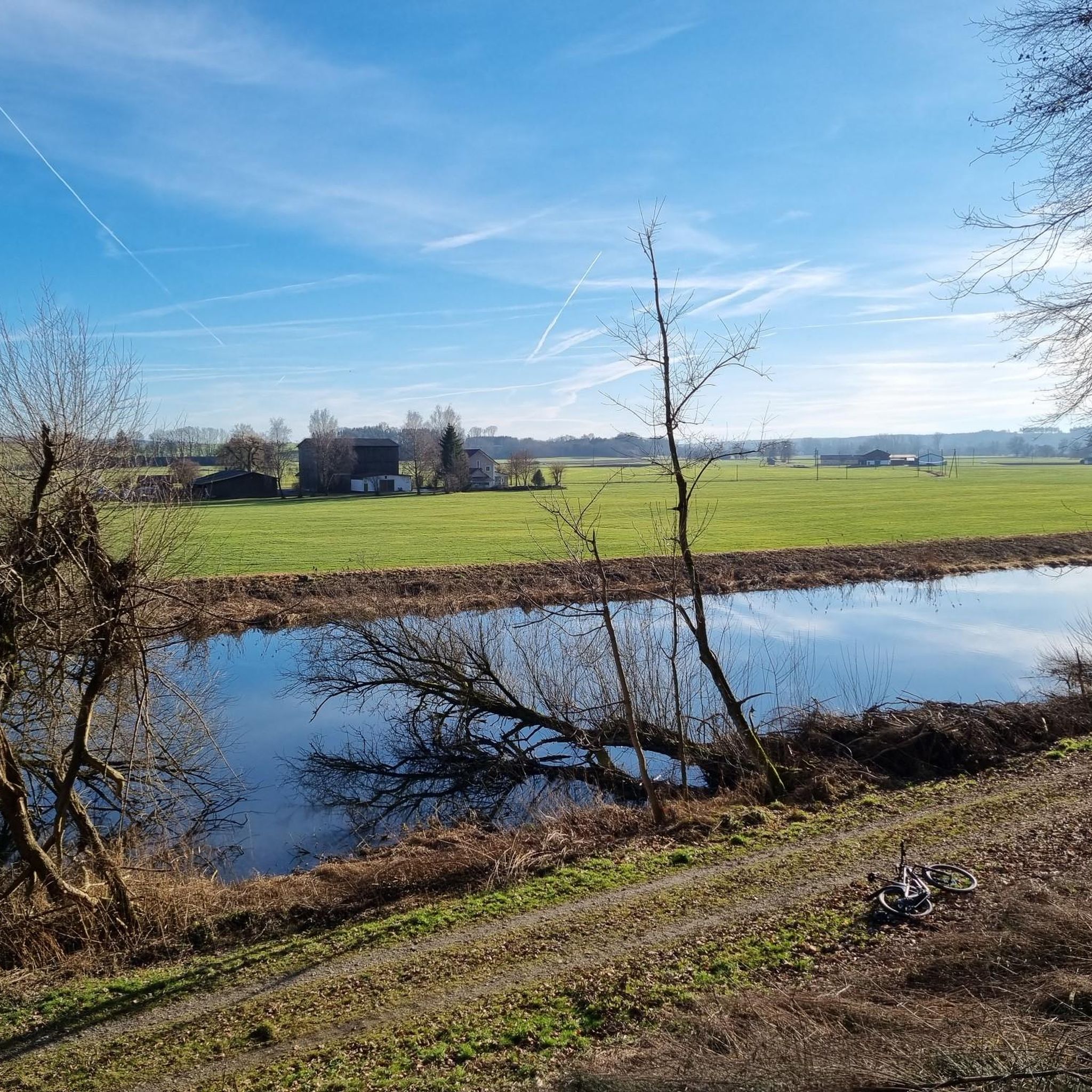
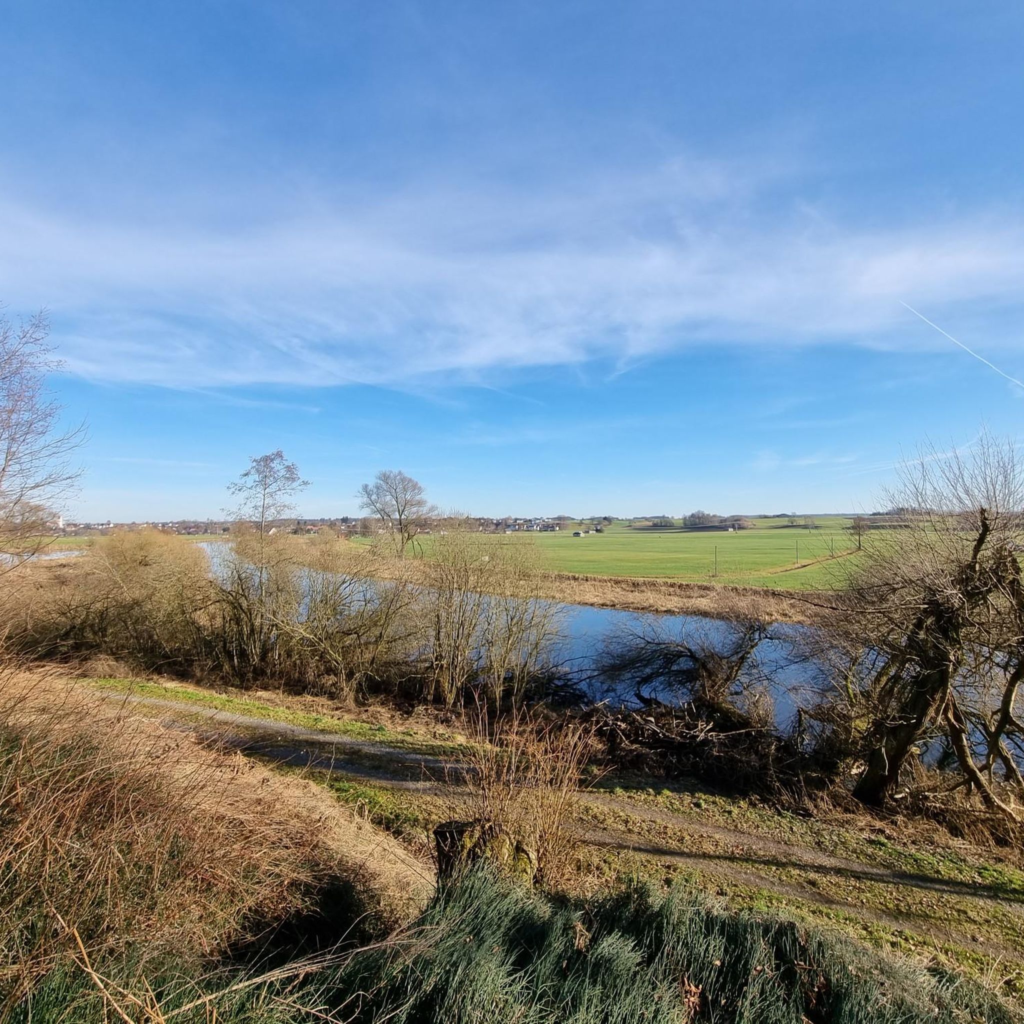
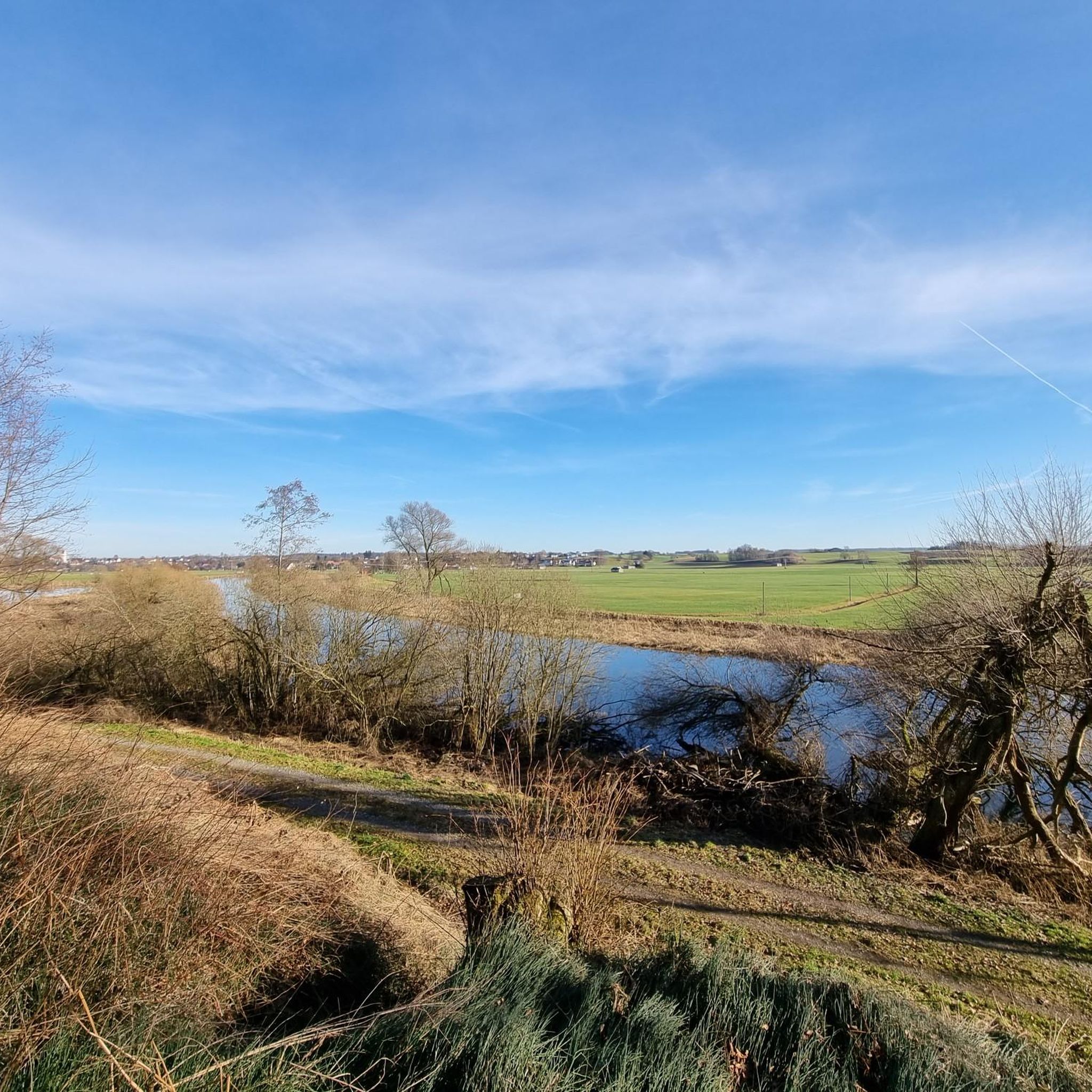
Here you have a beautiful view over the river and the Günz reservoir in Kettershausen.
0
0
Frequently Asked Questions
What kind of terrain can I expect on hiking trails around Kettershausen?
The hiking trails around Kettershausen offer a diverse terrain, ranging from predominantly flat paths along the Günz river to routes with noticeable elevation changes, particularly in areas like the deep incision of the Günztal. You'll find extensive forested areas, riverside walks, and paths near smaller bodies of water. This variety ensures options for both casual walkers and those seeking more challenging inclines.
Are there many easy hiking trails suitable for beginners in Kettershausen?
Yes, Kettershausen offers a good selection of easy hikes. Out of over 40 available routes, 23 are classified as easy, making them perfect for beginners or those looking for a relaxed stroll. An example of an easy route is the Trail along the Günz loop from Kettershausen, which covers about 5.8 km with minimal elevation gain.
Can I find circular hiking routes in the Kettershausen area?
Many of the trails around Kettershausen are designed as circular routes, allowing you to start and end at the same point. For instance, the View of the Lake – View of the Lake loop from Günz is a popular moderate circular path offering scenic views of local water features.
What natural features can I explore on hikes near Kettershausen?
Hikers in Kettershausen can explore the picturesque Günz Valley, extensive forested areas like those traversed by the 'Oberrother-Wald-Runde', and various lakes and ponds. Routes often follow the Günz river, providing scenic riverside walks, and you can also find highlights like the Nordholz Mill Pond or the Oberegger Reservoir.
Are there any interesting landmarks or cultural sights along the hiking trails?
Yes, several trails incorporate cultural landmarks. The Pilgrimage Church Matzenhofen – Gerstenberg loop from Bebenhausen leads to the Wallfahrtskirche Matzenhofen, a popular destination for hikers. You might also encounter historic field crosses on some routes, adding a cultural element to your natural exploration. For other nearby attractions, consider visiting the Hürben Water Castle or the St. Andreas Church in Babenhausen.
What do other hikers say about the trails in Kettershausen?
The hiking routes in Kettershausen are highly rated by the komoot community, with an average score of 4.7 stars from over 80 reviews. Hikers often praise the diverse terrain, the peaceful forested areas, and the well-maintained paths that cater to various fitness levels.
Are there any family-friendly hiking options in Kettershausen?
Kettershausen offers several routes suitable for families, especially the 23 easy trails available. These paths often feature gentle gradients and scenic views, making them enjoyable for all ages. The 'Glückskraft-Weg' is known as a 'Happiness Path' and provides an engaging experience for families.
What is the best time of year to go hiking in Kettershausen?
The region around Kettershausen is enjoyable for hiking throughout much of the year. Spring and autumn offer pleasant temperatures and beautiful scenery, with vibrant foliage in fall. Summer provides lush green landscapes, though some forested routes offer welcome shade. Even in winter, some trails can be accessible for a crisp walk, depending on snow conditions.
Are there any trails that focus on water features or riverside walks?
Absolutely. The Günz Valley is a primary natural feature, and many trails run along the Günz river, providing scenic riverside walks. The Trail along the Günz – Advent Trail, Kettershausen loop from Kettershausen is a great example, offering direct access to the river. Additionally, routes near the Oberrieder Weiher and the Nordholz Mill Pond provide pleasant views of other water features.
How many hiking trails are available in the Kettershausen region?
There are over 40 hiking trails available in the Kettershausen region, offering a wide range of options for different skill levels and preferences. These include 23 easy routes and 19 moderate routes, ensuring there's something for everyone.
Is there parking available at the trailheads in Kettershausen?
While specific parking details for every trailhead are not provided, most hiking areas in German municipalities like Kettershausen typically offer designated parking spaces near popular starting points or village centers. It is advisable to check local signage upon arrival or consult detailed route descriptions on komoot for specific parking recommendations for your chosen trail.
Most popular routes around Kettershausen
Most popular attractions around Kettershausen

Get inspired with the komoot mobile app


Explore more
Browse the best Hikes in other regions.
