Easy hikes and walks around Oxford
3.0
(1)
31
hikers
12
hikes
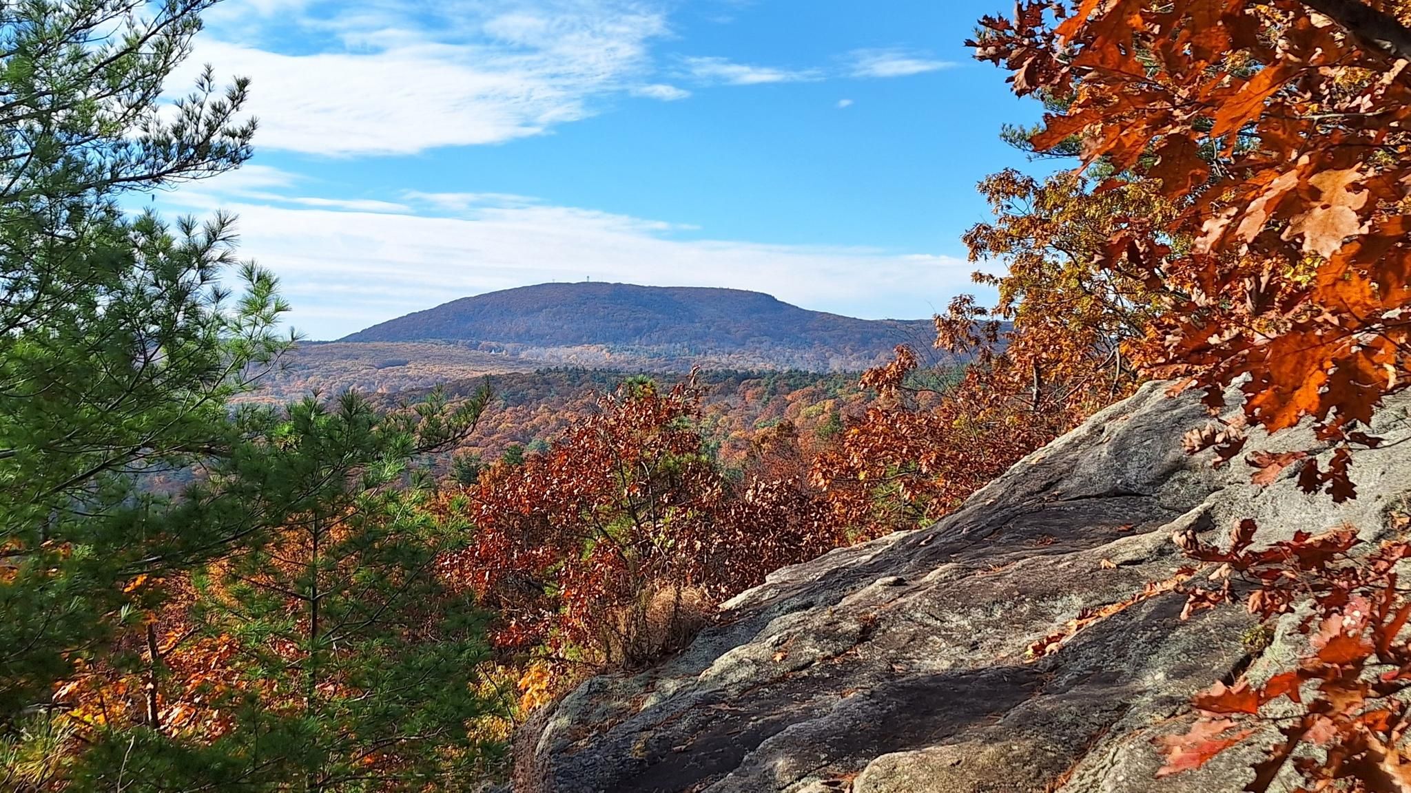
Easy hiking trails around Oxford traverse a landscape characterized by rolling hills, ancient woodlands, and extensive river meadows. The region features diverse terrain, including sections of the Cotswolds and Chiltern Hills, alongside the River Thames and its tributaries. These natural features provide varied settings for walks, from gentle riverside paths to routes through wooded areas.
Best easy hiking trails around Oxford
- The most popular easy hiking route is Buffumville Lake loop from Buffumville Lake, a 4.3 miles (6.9 km)…
Last updated: June 23, 2026
2.35km
00:37
10m
20m
Hike the easy 1.5-mile Bill Annese Trail in Douglas State Forest, a wooded path with historical significance and gentle elevation gain.
900m
00:15
20m
10m
Hike the easy 0.6-mile Midstate Trail: Cow Tunnel in Charlton, Massachusetts, featuring a historic cow tunnel and rolling woodlands.

Sign up for free
3.0
(1)
4
hikers
5.56km
01:27
30m
30m
Step into a different world on the Passing Douglas Cedar Swamp loop, where the trail guides you from familiar New England woodlands into a rare Atlantic White Cedar swamp. You'll…
5
hikers
4.96km
01:16
20m
20m
Easy hike. Great for any fitness level. Easily-accessible paths. Suitable for all skill levels.
2
hikers
4.99km
01:17
20m
20m
Easy hike. Great for any fitness level. Easily-accessible paths. Suitable for all skill levels.
Get access to more routes and recommendations from other explorers.
Sign up for free
Already have an account?
Our route recommendations are based on thousands of hikes, rides, and runs completed by other people on komoot.
Start today with a free account
Your next adventure awaits.
Login or Signup
Popular around Oxford
Other adventures around Oxford

Tips from the Community


This lake is a popular destination for fishing and boating, featuring a well-maintained trail of over 7 miles that circles the lake, providing stunning views throughout the journey.
0
0
Hodges Village Dam encompasses not only the dam itself but also the surrounding area, which features over 15 miles of maintained trails for hiking, running, and biking. Also, you can enjoy water activities such as fishing at the Hodges Village Pond.
0
0

Douglas State Forest is a 5,907-acre forest that is open from sunrise to sunset. The park contains Wallum Lake and miles of woodland trails.
0
0

On the Eagle Bridge Trail you will pass a very rare swamp of atlantic white cedar, located next to Badluck Pond.
0
0

So this is something else! Use the old cow tunnel to cross under Highway 20.
0
0
Frequently Asked Questions
How many easy hiking trails are available around Oxford?
There are 5 easy hiking trails detailed in this guide for the Oxford area, offering a variety of landscapes from riverside paths to wooded areas.
What kind of terrain can I expect on easy hikes around Oxford?
Easy hikes around Oxford typically feature gentle paths through diverse terrain, including rolling hills, ancient woodlands, and expansive river meadows. You'll find sections along the River Thames and its tributaries, as well as routes through parts of the Cotswolds and Chiltern Hills.
Are there any circular easy walks near Oxford?
Yes, several easy routes around Oxford are circular. For example, the Buffumville Lake loop from Buffumville Lake and the Passing Douglas Cedar Swamp loop from Douglas State Forest are both easy circular trails.
What are some notable natural features or landmarks I might see on an easy hike?
Many easy hikes in the Oxford area offer views of the River Thames and its meadows, such as Port Meadow. You might also encounter ancient woodlands, or pass by historic sites like Godstow Abbey ruins. Areas like University Parks also provide beautiful green spaces within the city itself. For more information on University Parks, you can visit visitacity.com.
What is the best time of year for easy hikes in Oxford?
Oxford's easy hiking trails can be enjoyed year-round. Spring brings blooming wildflowers, summer offers pleasant riverside strolls, autumn showcases vibrant foliage in the woodlands, and winter provides crisp, quiet walks. Always check local weather conditions before heading out.
Are there family-friendly easy hikes in the Oxford area?
Yes, the easy trails around Oxford are generally suitable for families. Routes like the Hodges Village Dam loop from Oxford offer manageable distances and gentle elevation, perfect for a family outing.
Can I bring my dog on these easy hiking trails?
Many of the trails in the Oxford countryside are dog-friendly, especially those through open meadows and woodlands. However, it's always recommended to check specific trail regulations, especially in nature reserves or areas with livestock, and to keep dogs on a lead where necessary.
Are there options for parking near the starting points of these easy hikes?
Parking availability varies by trail. Many routes starting from areas like Buffumville Lake or Douglas State Forest typically have designated parking facilities. For trails closer to Oxford city, public transport might be a more convenient option, or look for specific car parks near the trailheads.
What do other hikers enjoy most about easy hiking in Oxford?
The komoot community rates the hiking experience in Oxford highly, with an average score of 3.0 stars. Reviewers often praise the tranquil waterside sections, varied woodland, and the gentle paths that make these routes accessible and enjoyable.
How long do easy hikes around Oxford typically take?
The easy hikes in this guide vary in length and duration. For instance, the Buffumville Lake loop is about 4.3 miles (6.9 km) and takes approximately 1 hour 45 minutes, while the Rocky Hill loop from Richardson Corners is longer at 7.2 km and takes around 1 hour 57 minutes.
Are there any easy walks accessible by public transport from Oxford?
Yes, many areas around Oxford are well-served by public transport, making it possible to access various easy walks without a car. Routes along the Thames Path or those leading to Port Meadow are often easily reachable from the city center.
Can I find places for a pub lunch or cafe stop along easy hiking trails?
The Oxford region is dotted with charming villages and towns, many of which offer traditional pubs and cafes. While not every trail will have amenities directly on the route, it's often possible to plan your hike to start or end near a village for a refreshing stop.
Most popular routes around Oxford

Get inspired with the komoot mobile app


Explore more
Browse the best Hikes in other regions.
