Easy hikes and walks in Columbia County
4.9
(28)
252
hikers
24
hikes
Easy hiking trails in Columbia County traverse a landscape characterized by varied terrain, including dense woodlands, rolling hills, and areas near water features. The region offers a mix of natural environments, providing accessible outdoor experiences for hikers. Elevation changes are generally gentle, making many routes suitable for those seeking less strenuous activity.
Best easy hiking trails in Columbia County
- The most popular easy hiking route is Chilisuagi Trail, a 4.7 miles (7.6 km) trail that takes 1 hour 59 minutes to complete. This route features gentle elevation changes through natural surroundings.
- Another top favourite among local hikers is Dark Woods Big Mountain Ponds, an easy 4.4 miles (7.1 km) path. This trail offers scenic views of ponds and wooded areas.
- Local hikers also love the 40s Trail and Maggie’s Pond, a 3.1 miles (5.1 km) trail leading through forested areas and past a pond, often completed in about 1 hour 20 minutes.
- Hiking in Columbia County is defined by its woodlands, gentle hills, and accessible paths, offering diverse options for outdoor exploration. The network provides routes suitable for various ability levels, focusing on easy hikes.
- The routes in Columbia County are highly rated by the komoot community with an average score of 4.9 stars from over 50 reviews. More than 400 hikers have used komoot to explore Columbia County's varied terrain.
Last updated: June 23, 2026
13
hikers
7.61km
01:59
60m
50m
Embark on the Chilisuagi Trail for an easy hike that stretches 4.7 miles (7.6 km) and involves a gentle 186 feet (57 metres) of elevation gain. You can expect to complete this route in about 1 hour and 59 minutes, making it a perfect choice for a relaxed outing. As you walk, you'll experience a mix of dirt paths, mowed grassy areas, and shaded forest sections. A highlight of your journey will be crossing the dam, which provides expansive views over Lake Chillisquaque, including scenic spots like Goose Cove and Heron Cove. The atmosphere is peaceful, offering a refreshing escape into nature.
Planning your visit to the Chilisuagi Trail is straightforward, as it is well-maintained and easily accessible within Montour Preserve. You should know that this trail is specifically for hikers; dogs and bicycles are not permitted, which helps maintain a quiet environment for wildlife. A visitor's center is conveniently located nearby, offering amenities and educational programs if you wish to learn more about the area. Consider starting your hike in the morning or late afternoon for the most pleasant conditions, especially during warmer months. This ensures a tranquil experience for everyone enjoying the preserve.
The Chilisuagi Trail stands out for its rich natural environment, passing through wetlands and streamside forests that add to its charm. Keep an eye out for abundant wildlife, including Bald Eagles, herons, deer, and various smaller creatures that call this area home. The trail's focus on preserving a tranquil habitat makes it a unique destination within the region for nature observation. It offers a wonderful opportunity to connect with the local ecosystem.
3
hikers
7.10km
01:56
100m
100m
The Dark Woods Big Mountain Ponds trail offers a diverse hiking experience within the scenic Weiser State Forest, perfect for when you want a good workout without an all-day commitment. This easy 4.4-mile (7.1 km) loop features a mix of smooth paths and more challenging rocky, root-heavy sections, with a total elevation gain of 332 feet (101 metres) over approximately 1 hour and 55 minutes of hiking.
To plan your visit, head to the Weiser State Forest near Ashland, Pennsylvania. While specific parking information isn't detailed, accessing the trailhead in this area is straightforward. Sturdy hiking shoes are a must for the varied terrain, especially the sections with rocks and roots. It's an ideal route for a morning or afternoon excursion.
What makes this trail stand out is its dynamic terrain, transitioning from gentle paths to segments that feel like a 'nice scramble'. It provides continuous, gradual elevation changes, offering a satisfying physical challenge within a relatively short distance. This makes it a great choice for hikers looking to experience different trail conditions in a single, accessible loop.

Sign up for free
1
hikers
5.06km
01:20
50m
50m
Embark on an easy hike along the 40s Trail and Maggie’s Pond, a peaceful escape into the natural surroundings of Weiser State Forest. You'll follow well-maintained paths that wind gently through the forest, offering a serene atmosphere perfect for a relaxing outing. This route covers 3.1 miles (5.1 km) with a minimal elevation gain of 153 feet (47 metres), making it accessible for most hikers. Expect to spend about 1 hour and 20 minutes enjoying the quiet beauty of the woods, with the tranquil Maggie's Pond as a notable feature along your journey. The trail's easy difficulty ensures a pleasant experience for all.
Planning your visit to the 40s Trail is straightforward, as the route is generally accessible throughout the year. You should find convenient parking available close to the trailhead, making it easy to start your adventure. Before heading out, it's always a good idea to check local conditions, especially if you plan to visit during different seasons, to ensure a smooth and enjoyable experience. This helps you prepare for any seasonal changes that might affect the trail.
This trail offers a wonderful opportunity to immerse yourself in the natural environment of Weiser State Forest. While the long intro doesn't detail specific landmarks beyond Maggie's Pond, the overall experience emphasizes a peaceful connection with nature. It's an excellent choice if you're looking for a gentle forest walk that provides a refreshing break from daily life, highlighting the simple beauty of the state forest.
1
hikers
1.49km
00:26
0m
110m
The Ganoga View Trail offers a fantastic, easy way to experience the grandeur of Ganoga Falls, the tallest waterfall in Ricketts Glen State Park. This short route takes you right to the side of the 94-foot plunge, where you can feel the mist and hear the roar of the water. The trail winds through lush northern hardwoods, providing a taste of the park's dramatic scenery without the strenuous effort of its more challenging paths.
This easy hiking route covers just 0.9 miles (1.5 km) with virtually no elevation gain (0 feet / 0 metres), taking approximately 26 minutes to complete. While the Ganoga View Trail is very accessible, if you plan to extend your hike onto the main Falls Trail, be prepared for steep, rocky, and potentially slippery terrain that requires proper footwear. Parking is available within Ricketts Glen State Park, and arriving earlier in the day is always a good idea, especially on weekends.
What makes this trail particularly appealing is its ability to deliver a high-impact waterfall experience with minimal effort, making it a great option for families or those seeking a quick scenic stop. It's a perfect introduction to the park's 20+ waterfalls and can be combined with the Old Beaver Dam Road Trail for a longer loop. The area's old-growth timber and diverse wildlife add to the unforgettable natural beauty.
4.91km
01:20
70m
80m
Embark on an easy 3.1-mile (4.9 km) hike through the Weiser Homestead, Old Reservoir, and Headwaters Trail, a route that takes about 1 hour and 20 minutes to complete with a gentle 236 feet (72 metres) of elevation gain. You will discover diverse landscapes, from the manicured grounds of the historic Conrad Weiser Homestead to the tranquil, dense oak and maple woodlands of the Headwaters Trail. Keep an eye out for picturesque water features like the Old Reservoir and listen for the sounds of Roaring Creek as you cross it. You might also spot ferns and wildflowers along the way.
You can easily begin your adventure from the Weiser Homestead, where parking is generally available. This makes it a convenient starting point for exploring the area. If you plan to bring your canine companion, dogs are welcome on leash at the Homestead, offering a great option for a family outing.
This trail offers a unique blend of natural beauty within Weiser State Forest and historical significance, connecting you to the grounds of the Conrad Weiser Homestead. As you hike, you might encounter historical remnants, such as an old dam, adding a layer of discovery to your journey. The route provides a peaceful outdoor experience for most hikers.
4.31km
01:13
120m
40m
Hike the 2.7-mile Grassy Hollow Road, an easy route through State Game Lands 13, known for its stunning waterfalls.
5.0
(3)
24
hikers
The Sheldon Reynolds Falls – Kitchen Creek loop from Fairmount Township is a fantastic way to experience the magic of Ricketts Glen State Park's waterfalls without committing to the full, more challenging Falls Trail. This easy 3.4-mile (5.4 km) hike guides you through old-growth hemlock and maple forests, leading to the beautiful Sheldon Reynolds Falls and the multi-tiered Kitchen Creek Falls (Adams Falls). You'll enjoy a continuous display of natural beauty, with the sound of rushing water accompanying you through the serene woodland. It's a perfect route for a relaxing stroll, offering high scenic value for its modest 275 feet (84 metres) of elevation gain.
Planning your visit to this popular trail is generally straightforward, with Adams Falls being easily accessible just off Route 118. The estimated duration for this loop is around 1 hour and 28 minutes, making it a great option for a shorter outing. While the Sheldon Reynolds Falls Kitchen Creek loop trail difficulty is rated easy, the terrain can be uneven and slick when wet, so sturdy hiking shoes are recommended. Arriving early, especially during peak season, will help ensure you find parking at this well-loved destination.
This loop is a segment of the iconic Falls Trail System, which is celebrated as one of the most beautiful waterfall hikes in Pennsylvania. The Glens Natural Area, home to these falls, was designated a National Natural Landmark in 1969, highlighting its unique geological formations and exceptional concentration of waterfalls. It's a prime destination for nature lovers and photographers, offering a glimpse into a truly special ecosystem.
5.0
(3)
12
hikers
6.46km
01:58
210m
210m
Easy hike. Great for any fitness level. Easily-accessible paths. Suitable for all skill levels.
5
hikers
3.17km
00:53
70m
70m
Easy hike. Great for any fitness level. Easily-accessible paths. Suitable for all skill levels.
5.0
(1)
5
hikers
6.21km
01:40
70m
70m
Easy hike. Great for any fitness level. Easily-accessible paths. Suitable for all skill levels.
Get access to more routes and recommendations from other explorers.
Sign up for free
Already have an account?
Our route recommendations are based on thousands of hikes, rides, and runs completed by other people on komoot.
Start today with a free account
Your next adventure awaits.
Login or Signup
Popular around Columbia County
Tips from the Community

The area has beautiful mountain laurels in spring. There are no designated scenic spots, so the only way to get the coveted "Grand View" would be by trespassing into the tower, which I don't recommend doing.
0
0

here you will find a map and a good overview of where you are. here are additional benches for resting and relaxing
0
0
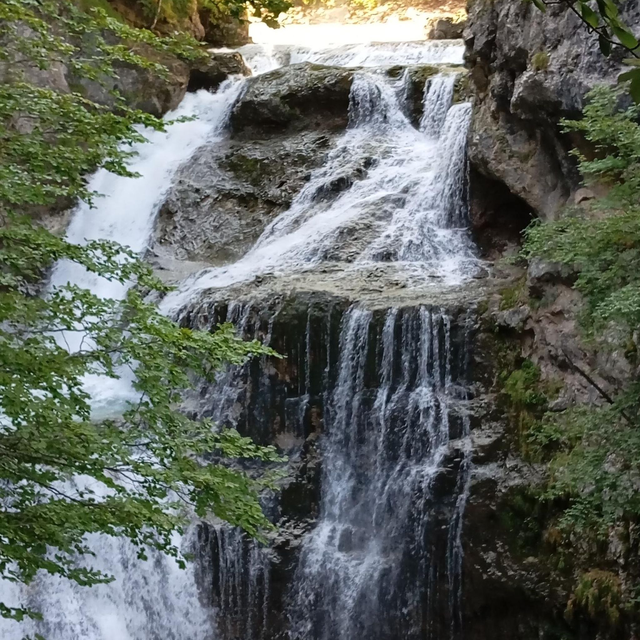
here is one of the biggest waterfalls 😍
0
0
here you can see the beauty of nature in its entirety. it is just beautiful.
0
0
Frequently Asked Questions
How many easy hiking trails are available in Columbia County?
Columbia County offers a wide selection of easy hiking trails, with over 15 routes specifically categorized as easy. In total, there are 28 hiking routes available, providing diverse options for outdoor exploration.
What kind of terrain can I expect on easy hikes in Columbia County?
Easy hikes in Columbia County typically traverse varied terrain, including dense woodlands, gentle rolling hills, and areas near water features like ponds. Elevation changes are generally mild, making these routes accessible for a relaxed outdoor experience.
Are there any short, easy hikes suitable for a quick outing?
Yes, for a shorter outing, consider the 40s Trail and Maggie’s Pond. This trail is 3.1 miles (5.1 km) long and can typically be completed in about 1 hour 20 minutes, leading through forested areas and past a pond.
What do other hikers enjoy most about the easy trails in Columbia County?
The easy trails in Columbia County are highly rated by the komoot community, with an average score of 4.9 stars from over 50 reviews. Hikers frequently praise the quiet woodlands, scenic views of ponds, and the accessible paths that make for enjoyable and less strenuous activity.
Are there any family-friendly easy hikes in Columbia County?
Many of the easy trails are suitable for families due to their gentle elevation changes and well-maintained paths. The Chilisuagi Trail, at 4.7 miles, offers a pleasant experience through natural surroundings, while the shorter 40s Trail and Maggie’s Pond is also a great option for families.
Can I bring my dog on the easy hiking trails?
While specific regulations can vary by trail, many natural areas in Columbia County are generally dog-friendly, often requiring dogs to be on a leash. It's always recommended to check local signage or park websites for the most current pet policies before heading out. Trails like Dark Woods Big Mountain Ponds offer open spaces that can be enjoyable for leashed pets.
What are some scenic views or landmarks I can find on easy trails?
Many easy trails offer scenic views of wooded areas and ponds. For specific landmarks, you might encounter historic covered bridges in the wider Columbia County area, such as the Rupert Covered Bridge or Twin Bridges. The Dark Woods Big Mountain Ponds trail, for example, provides picturesque views of its namesake water features.
Are there any easy circular hiking routes?
Yes, several easy circular routes are available. The Delaware Falls – B. Reynolds Falls loop from Benton is an easy 5.2 km loop, and the Grand View loop from Shale Pit parking lot is a shorter 3.2 km option, both offering a convenient return to your starting point.
Is parking available at the trailheads for easy hikes?
Parking availability varies by trailhead. Many popular trailheads in Columbia County, especially those leading to state parks or well-known natural areas, typically offer designated parking. For example, routes like the Grand View loop from Shale Pit parking lot explicitly mention parking as part of their starting point.
What is the best time of year to enjoy easy hikes in Columbia County?
Columbia County's easy trails can be enjoyed throughout much of the year. Spring brings lush greenery and blooming wildflowers, while autumn offers vibrant fall foliage, making these seasons particularly scenic. Summer is also popular, though it's advisable to hike earlier in the day to avoid peak heat. Winter hiking is possible, but conditions may vary, so check local weather and trail reports.
Are there any easy trails that feature waterfalls?
Yes, Columbia County is home to trails that include waterfalls. The Delaware Falls – B. Reynolds Falls loop from Benton and the Sheldon Reynolds Falls – Kitchen Creek loop from Fairmount Township are both easy routes that allow you to experience the beauty of local waterfalls.
Are there any easy trails near historical sites?
Yes, some trails may be near or pass through areas with historical significance. For instance, the Weiser Homestead, Old Reservoir, and Headwaters Trail suggests proximity to historical elements like the Weiser Homestead, offering a blend of nature and local heritage.
Most popular routes in Columbia County
Most popular attractions in Columbia County

Get inspired with the komoot mobile app


Didn’t find what you were looking for?
Check out more Hikes throughout Columbia County below and find the perfect route in your destination.
Explore more
Browse the best Hikes in other regions.
