Easy hikes and walks around Gavet de la Conca
4.2
(88)
536
hikers
64
hikes
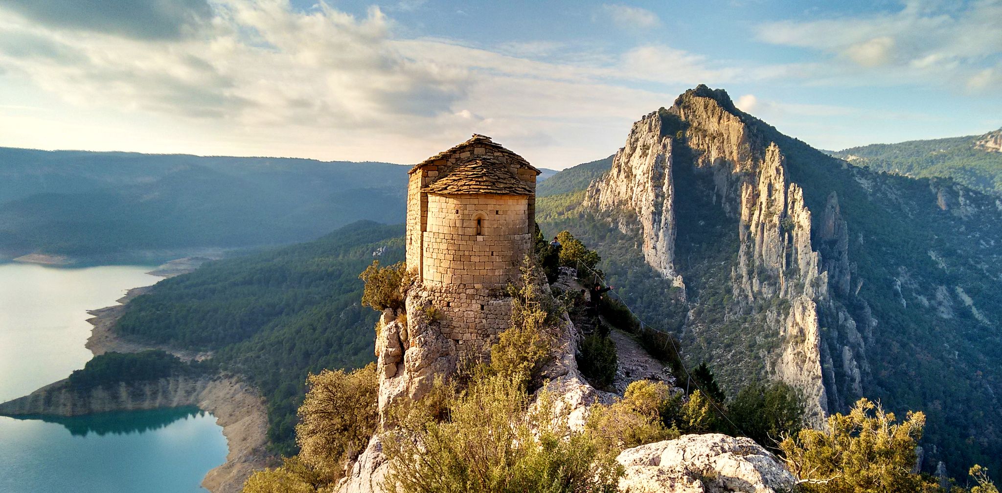
Easy hiking trails Gavet de la Conca traverse a diverse landscape within a broad fluvial basin, encompassing parts of the protected Montsec and Carreu-Sant Corneli mountain ranges. The region is characterized by the slopes of Montsec de Rubies and the Barcedana valley, offering varied terrain. Nearby, the Mont-rebei Gorge presents dramatic geological formations with cliffs and a unique environment for exploration.
Best easy hiking trails around Gavet de la Conca
- The most popular easy hiking route is Route of the…
Last updated: June 23, 2026
8
hikers
6.88km
01:46
30m
30m
Easy 4.3-mile hike around Terradets Reservoir in Serra del Montsec, offering views of the gorge and Montsec mountains.
4.3
(3)
8
hikers
3.68km
01:05
110m
100m
Hike the easy 2.3-mile (3.7 km) Geobike XL Route near Talarn, gaining 356 feet (108 metres) in about 1 hour and 5 minutes.

Sign up for free
4.0
(2)
13
hikers
Easy hike. Great for any fitness level. Easily-accessible paths. Suitable for all skill levels.
7
hikers
5.73km
01:43
190m
190m
Easy hike. Great for any fitness level. Easily-accessible paths. Suitable for all skill levels.
3.0
(1)
7
hikers
5.12km
01:22
50m
50m
Easy hike. Great for any fitness level. Easily-accessible paths. Suitable for all skill levels.
3.0
(1)
10
hikers
7.47km
01:58
60m
60m
Easy hike. Great for any fitness level. Easily-accessible paths. Suitable for all skill levels.
4.0
(2)
4
hikers
6.00km
01:48
200m
200m
Easy hike. Great for any fitness level. Easily-accessible paths. Suitable for all skill levels.
5.0
(1)
7
hikers
2.92km
00:45
10m
10m
Easy hike. Great for any fitness level. Easily-accessible paths. Suitable for all skill levels.
4
hikers
4.42km
01:14
80m
80m
Easy hike. Great for any fitness level. Easily-accessible paths. Suitable for all skill levels.
Get access to more routes and recommendations from other explorers.
Sign up for free
Already have an account?
Our route recommendations are based on thousands of hikes, rides, and runs completed by other people on komoot.
Start today with a free account
Your next adventure awaits.
Login or Signup
Popular around Gavet de la Conca
Other adventures around Gavet de la Conca

Tips from the Community

The trail leads you through a tunnel of vegetation that meanders through the flora, creating an immersive and charming journey. It is a fun and unique experience, but it is important to be careful with the branches on the ground and tree roots to avoid any unforeseen events.
0
0

Directly under the bridge there is a trail called “Z.Z. 2.0”.
0
0
Here the name says it all: The easy-to-drive forest path spits you out directly at a former bunker.
3
0

View of the hydroelectric dam on Lake San Antoni. The natural space surrounding the lake is a great place for hiking adventures.
1
0

The name of Sant Salvador is due to the dedication of the parish of the town. Toló comes from the name of the castle around which the old town was formed.
0
0
Area of this area of the reservoir where it is common to see birds as it represents a wet area, full of biodiversity.
0
0
This is one of the bridges over which the railway that comes from the south of the Pyrenees runs and which is built with lime from the area on five large arches, saving the ravine.
0
0
One of the other names that the Pantà de Sant Antoni has, at a local level, is the Embalse de Talarn, a town that crosses and is very close to the riverbed of the same reservoir.
0
0
Frequently Asked Questions
How many easy hiking trails can I find in Gavet de la Conca?
Gavet de la Conca offers a good selection of easy hiking trails, with 14 routes specifically categorized as easy. Overall, there are over 60 hiking routes in the region, catering to various skill levels.
Are there any easy circular hiking routes in Gavet de la Conca?
Yes, several easy circular routes are available. For example, the View of Pantà de Terradets – Terradets Reservoir loop from Pantà de Terradets is an easy 4.4-mile (7.1 km) trail that offers scenic reservoir views. Another option is the Terradets Reservoir loop from Cellers, which is 3.2 miles (5.1 km) long.
What are some shorter easy walks suitable for a quick outing?
For shorter, easy walks, consider the Geobike XL Route, which is 2.3 miles (3.7 km) long. Another great option is the Bird Observatory loop from Pantà de Terradets, a very gentle 1.8-mile (2.9 km) path.
Are the easy hiking trails in Gavet de la Conca suitable for families with children?
Many of the easy trails in Gavet de la Conca are suitable for families. Routes like the Route of the Lakes (4.3 miles / 6.9 km) or the Bird Observatory loop from Pantà de Terradets (1.8 miles / 2.9 km) offer gentle terrain and manageable distances, perfect for an enjoyable family outing.
What kind of natural features or scenic viewpoints can I expect on easy hikes?
Easy hikes in Gavet de la Conca often feature diverse landscapes. You can enjoy views of local water features on the Route of the Lakes, or reservoir landscapes on the View of Pantà de Terradets – Terradets Reservoir loop. The region is also characterized by mountain slopes and fluvial basins, offering varied scenery. For a notable viewpoint, consider exploring the area around Tossal de Mirapallars.
Are there any historical or cultural attractions along the easy hiking trails?
Yes, the region has charming medieval villages and historical structures. While hiking, you might encounter sites like Sant Miquel de la Vall or the remains of Sant Gervàs Castle. The Sant Salvador de Toló loop, for instance, takes you through an area with historical significance.
What do other hikers enjoy most about the easy trails in Gavet de la Conca?
The easy trails in Gavet de la Conca are highly rated by the komoot community, with an average score of 4.29 stars from over 70 reviews. Hikers often praise the diverse terrain, the scenic reservoir views, and the accessibility of the paths, making them enjoyable for various ability levels.
Are there opportunities for wild swimming near the easy walks?
Gavet de la Conca is situated within a broad fluvial basin and features reservoir landscapes. While specific wild swimming spots are not detailed for these easy routes, the presence of the Noguera Ribagorçana river (which carved the nearby Mont-rebei Gorge) and various reservoirs suggests potential opportunities for water-related activities in the wider region. Always check local regulations and safety before swimming in natural waters.
What is the best time of year to go hiking on easy trails in Gavet de la Conca?
The region's diverse landscapes make it suitable for hiking across multiple seasons. Spring and autumn generally offer pleasant temperatures and vibrant scenery. Summer can be warm, but many trails provide shade or are near water features. Always check local weather conditions before heading out.
Are the easy hiking trails in Gavet de la Conca dog-friendly?
While many natural areas in Spain are dog-friendly, it's always recommended to check specific trail regulations or local signage regarding dogs, especially in protected natural areas like parts of Montsec and Carreu-Sant Corneli. Generally, dogs are welcome on trails if kept on a leash and waste is properly disposed of.
Are there parking facilities available at the trailheads for easy hikes?
Most trailheads for popular routes in Gavet de la Conca, especially those starting from villages or known natural attractions, typically offer designated parking areas. For example, routes around Pantà de Terradets or starting from towns like Tremp often have accessible parking. It's advisable to check the specific route details on komoot for parking information before your trip.
How long do easy hikes in Gavet de la Conca typically take to complete?
The duration of easy hikes varies depending on the route and your pace. For instance, the Route of the Lakes (4.3 miles / 6.9 km) takes approximately 1 hour 46 minutes, while the Geobike XL Route (2.3 miles / 3.7 km) can be completed in about 1 hour 5 minutes. Most easy trails range from 1 to 2 hours.
Most popular routes around Gavet de la Conca
Most popular attractions around Gavet de la Conca

Get inspired with the komoot mobile app


Explore more
Browse the best Hikes in other regions.
