Easy hikes and walks around Valle Bajo Alberche
4.5
(1517)
8,475
hikers
106
hikes
Easy hiking trails around Valle Bajo Alberche are set within a diverse landscape characterized by mountainous terrain, lush forests of pines and oaks, and the Alberche River. The region is situated on the southern slopes of the Paramera and Malagón Sierras, offering varied scenery. Notable natural features include the Reserva Natural Valle de Iruelas, known for its black vulture population, and the ancient Castañar de El Tiemblo chestnut forest. The Pantano del Burguillo reservoir also provides panoramic views and opportunities…
Last updated: July 7, 2026
4.5
(2)
6
hikers
7.06km
01:54
90m
90m
Hike an easy 4.4-mile (7.1 km) circular route around the Navalperal de Pinares Reservoir, enjoying forests and views of Sierra de Gredos.
3.28km
00:53
40m
40m
Easy hike. Great for any fitness level. Easily-accessible paths. Suitable for all skill levels.

Sign up for free
17
hikers
Easy hike. Great for any fitness level. Easily-accessible paths. Suitable for all skill levels.
5.0
(1)
9
hikers
4.74km
01:18
70m
70m
Easy hike. Great for any fitness level. Easily-accessible paths. Suitable for all skill levels.
5.0
(1)
7
hikers
4.18km
01:11
90m
90m
Easy hike. Great for any fitness level. Easily-accessible paths. Suitable for all skill levels.
12
hikers
7.04km
01:59
150m
150m
Easy hike. Great for any fitness level. Easily-accessible paths. Suitable for all skill levels.
3
hikers
5.02km
01:23
90m
90m
Easy hike. Great for any fitness level. Easily-accessible paths. Suitable for all skill levels.
1
hikers
Easy hike. Great for any fitness level. Easily-accessible paths. Suitable for all skill levels.
5.0
(1)
3
hikers
5.22km
01:23
50m
50m
Easy hike. Great for any fitness level. Easily-accessible paths. Suitable for all skill levels.
6
hikers
Easy hike. Great for any fitness level. Easily-accessible paths. Suitable for all skill levels.
Get access to more routes and recommendations from other explorers.
Sign up for free
Already have an account?
Our route recommendations are based on thousands of hikes, rides, and runs completed by other people on komoot.
Start today with a free account
Your next adventure awaits.
Login or Signup
Popular around Valle Bajo Alberche

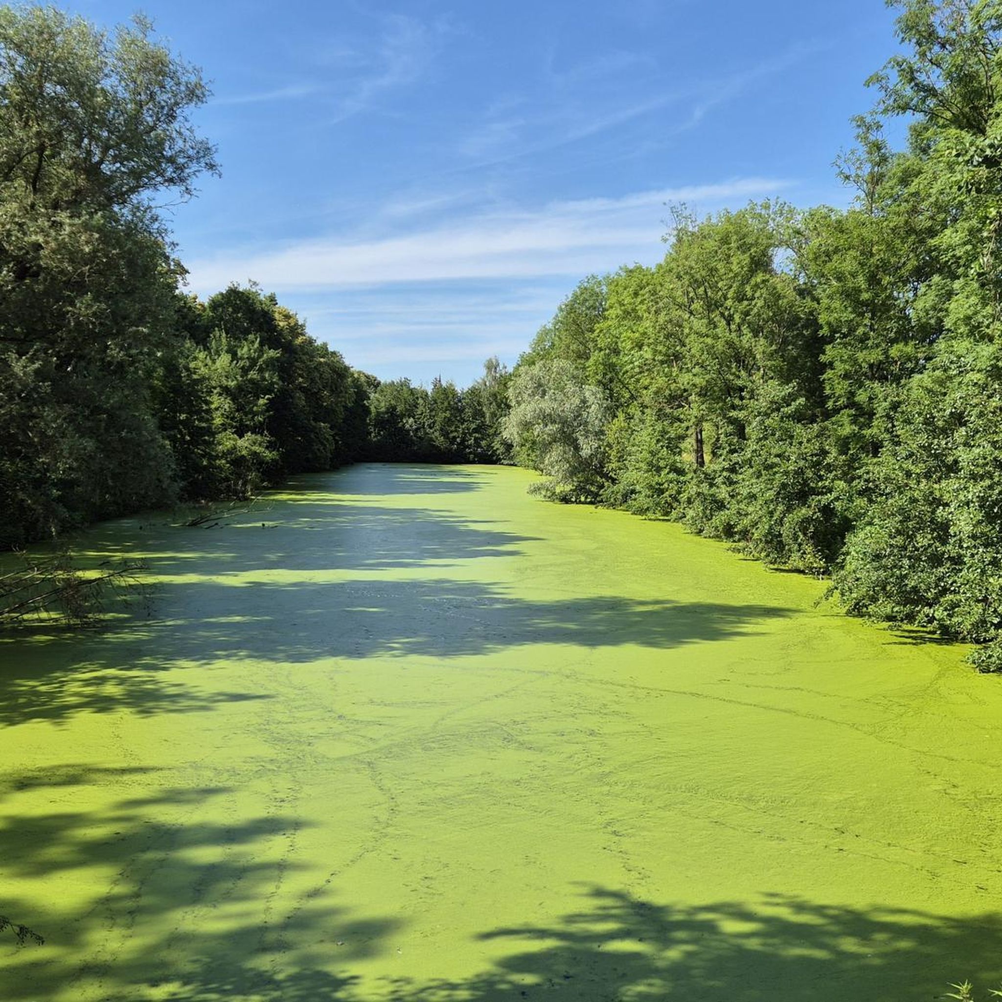


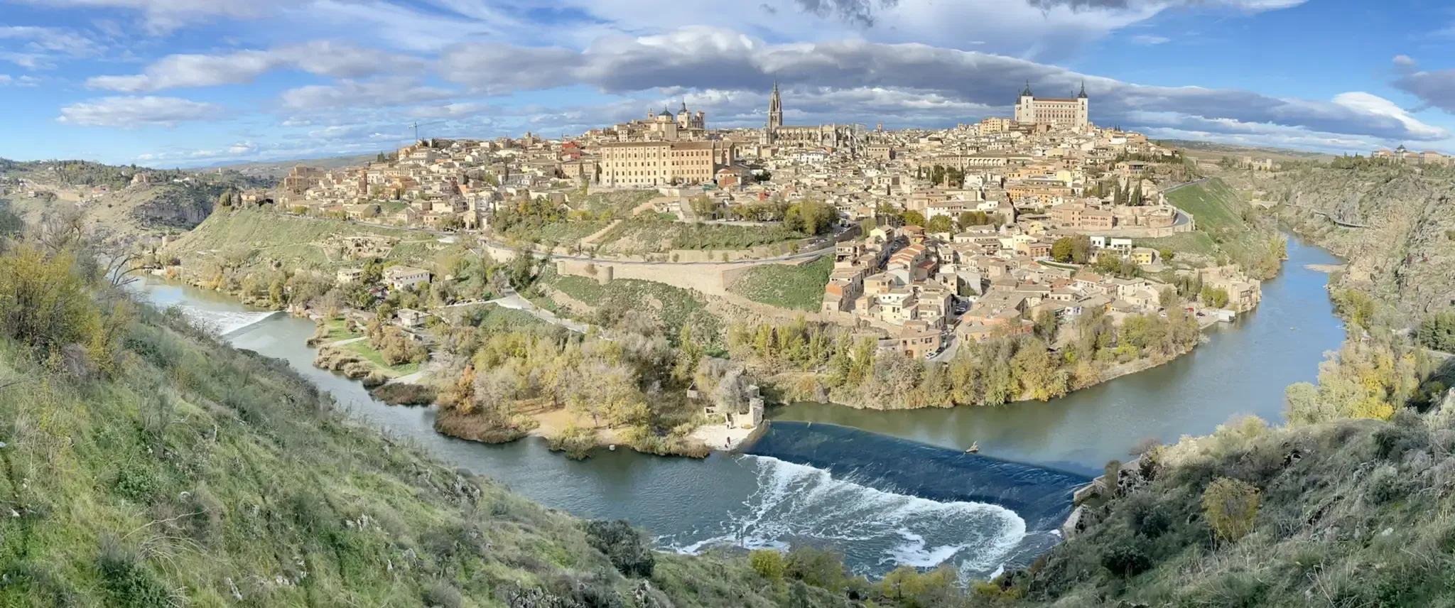


Tips from the Community

The Casasola Route in Navalperal de Pinares is one of the longest and most popular hiking trails in the area. With a length of approximately 23 kilometers and a cumulative ascent of 346 meters, this route offers a complete experience for hiking enthusiasts. The route begins at the Hermitage of San Antonio and passes through diverse landscapes, including oak forests, reforested pine forests, and mountain meadows.
1
0
The Navalperal de Pinares Reservoir is a beautiful place located in the province of Ávila, ideal for enjoying nature and outdoor activities. Built in 1980, this reservoir is located on the Maillo Stream. It is a perfect destination for relaxation and recreation, offering activities such as fishing, picnicking, and hiking. Furthermore, the surrounding natural environment offers peaceful and enchanting landscapes, ideal for unwinding and enjoying the serenity of the place.
1
0

A small reservoir located above the Aceña reservoir, about 250 m higher in the Sierra de Malagón. From this reservoir, you can access the Valiente Cave.
0
0
Beautiful stone bridge over the Alberche River as it passes through Navaluenga.
0
0
This reservoir is small and charming, and supplies drinking water to the town of Peguerinos. In addition, it is part of a hydrographic network that includes the Aceña River and its tributaries. The river is dammed in the Aceña Dam, and there is also another small dam called Tobar Reservoir, which connects with the Aceña Dam and brings water to the Escorial. The area around the reservoir is ideal for activities such as hiking, bird watching and camping, and offers moments of tranquility in the middle of nature. I hope this information is useful to you! 😊
4
0

The Hermitage of Santisimo Cristo de Gracia may date from the late 15th century. The ranchers' brotherhood was founded in this hermitage.
1
0
Historical building of an old convent from the 16th century.
1
0
This is a water reserve (artificial basin) near Peguerinos.
1
0
Frequently Asked Questions
How many easy hiking trails are available in Valle Bajo Alberche?
The Valle Bajo Alberche region offers a wide selection of easy hiking trails, with over 25 routes specifically categorized as easy. In total, there are more than 100 hiking routes across various difficulty levels to explore.
What kind of landscapes can I expect on easy hikes in Valle Bajo Alberche?
Easy hikes in Valle Bajo Alberche traverse diverse landscapes, including mountainous terrain, lush forests of pines and oaks, and picturesque stretches along the Alberche River. You'll find trails offering views of the Navalperal de Pinares Reservoir and the ancient Castañar de El Tiemblo chestnut forest.
Are there any easy circular hiking routes in the area?
Yes, Valle Bajo Alberche features several easy circular routes perfect for a relaxed outing. For example, the Walk through the center of Las Navas del Marqués — circular route is a short and accessible option, while the Puente Viejo de Navaluenga loop from Navaluenga offers a scenic riverside walk.
What natural attractions can I see along easy hiking trails?
Many easy trails lead to or offer views of significant natural attractions. You can explore the El Burguillo Reservoir, the Navalperal de Pinares Reservoir, or wander through the ancient Castañar de El Tiemblo. The region is also home to the Reserva Natural Valle de Iruelas, known for its black vulture population.
Are the easy hiking trails in Valle Bajo Alberche suitable for families with children?
Absolutely. Many easy trails are well-suited for families, offering gentle terrain and shorter distances. Routes like the Walk through the center of Las Navas del Marqués provide an accessible way to enjoy the region's charm with children.
Can I bring my dog on the easy hiking trails?
Most easy hiking trails in Valle Bajo Alberche are dog-friendly, allowing you to enjoy the natural surroundings with your canine companion. Always ensure your dog is under control, and check for any specific local regulations or protected areas that might have restrictions.
What is the best time of year for easy hikes in Valle Bajo Alberche?
The Valle Bajo Alberche is enjoyable for easy hikes throughout much of the year. Spring and autumn offer pleasant temperatures and vibrant scenery, with blooming wildflowers or colorful foliage. Summer mornings and evenings are also suitable, while winter can provide crisp, clear days, especially in the lower elevations.
What do other hikers say about the easy trails in Valle Bajo Alberche?
The easy trails in Valle Bajo Alberche are highly regarded by the komoot community, boasting an average rating of 4.6 stars. Hikers often praise the region's diverse natural beauty, the well-maintained paths, and the peaceful atmosphere, making it a favorite for relaxed outdoor excursions.
Are there any viewpoints or panoramic spots on the easy trails?
Yes, several easy trails offer rewarding viewpoints. The region's mountainous terrain, including the southern slopes of the Paramera and Malagón Sierras, provides natural vantage points. The Pantano del Burguillo, for instance, offers beautiful panoramic views, especially from the Puerto de Casillas mountain pass.
Where can I find parking for easy hiking trails in Valle Bajo Alberche?
Many trailheads for easy hikes in Valle Bajo Alberche are located near towns and villages such as Las Navas del Marqués, Navaluenga, and El Tiemblo, where parking facilities are generally available. For routes like the El Abuelo – El Tiemblo Chestnut Forest loop, you can often find parking near the Castañar de El Tiemblo.
What kind of wildlife might I encounter on an easy hike?
The Valle Bajo Alberche is rich in biodiversity. On easy hikes, you might spot various bird species, including the renowned black vultures in the Reserva Natural Valle de Iruelas. The forests and riverbanks are also home to diverse flora and smaller mammals, offering a chance to observe nature up close.
Are there any easy trails that follow the Alberche River?
Yes, the Alberche River is a prominent feature of the valley, and several easy trails run alongside it, showcasing its picturesque scenery and diverse riparian flora. The Bar El Seco – Puente Viejo de Navaluenga loop from Navaluenga is an example of a route that incorporates river views.
Most popular routes around Valle Bajo Alberche
Most popular attractions around Valle Bajo Alberche

Get inspired with the komoot mobile app


Didn’t find what you were looking for?
Check out more Hikes throughout Valle Bajo Alberche below and find the perfect route in your destination.
Explore more
Browse the best Hikes in other regions.
