The best walks and hikes around Kempter Wald
4.5
(9841)
46,933
hikers
737
hikes
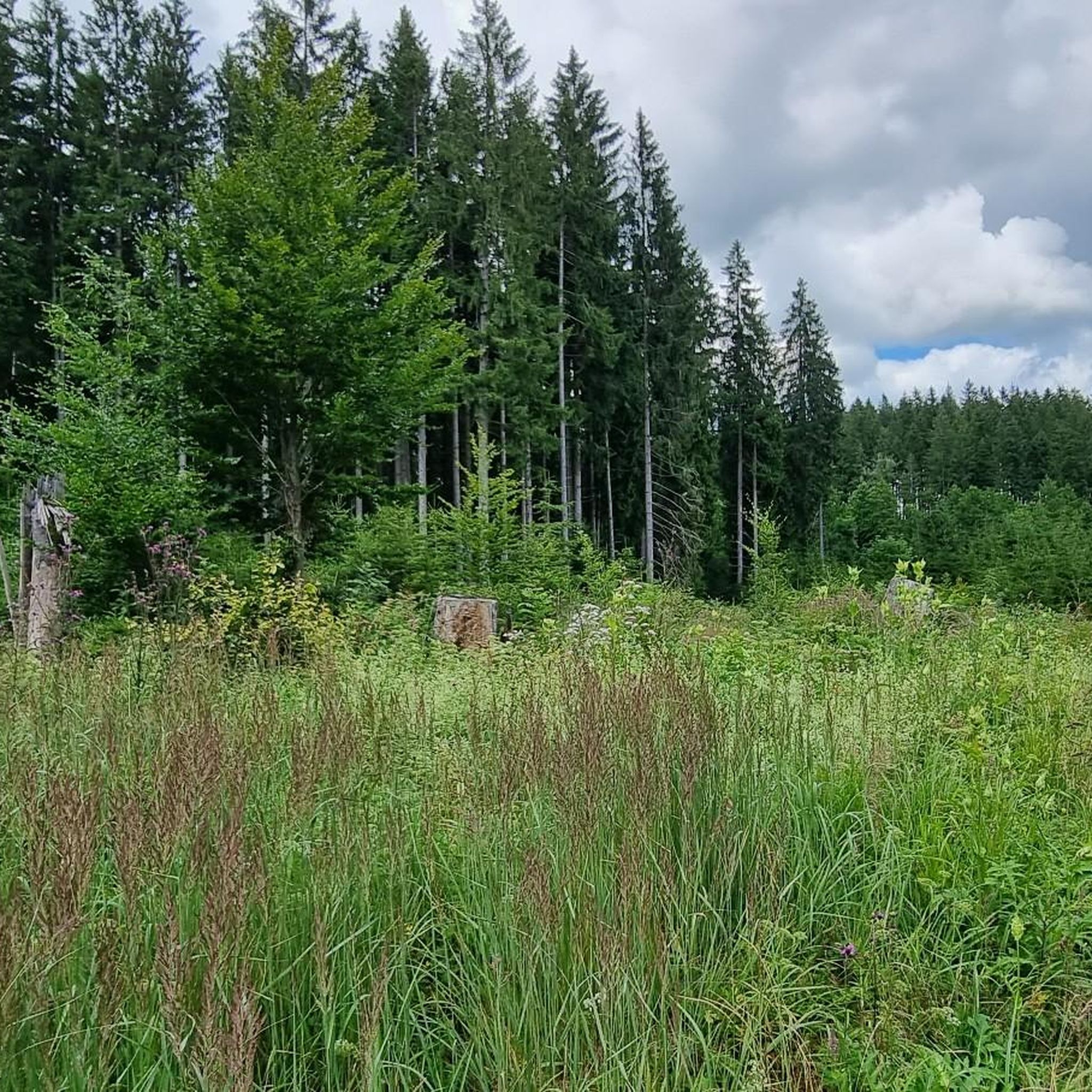
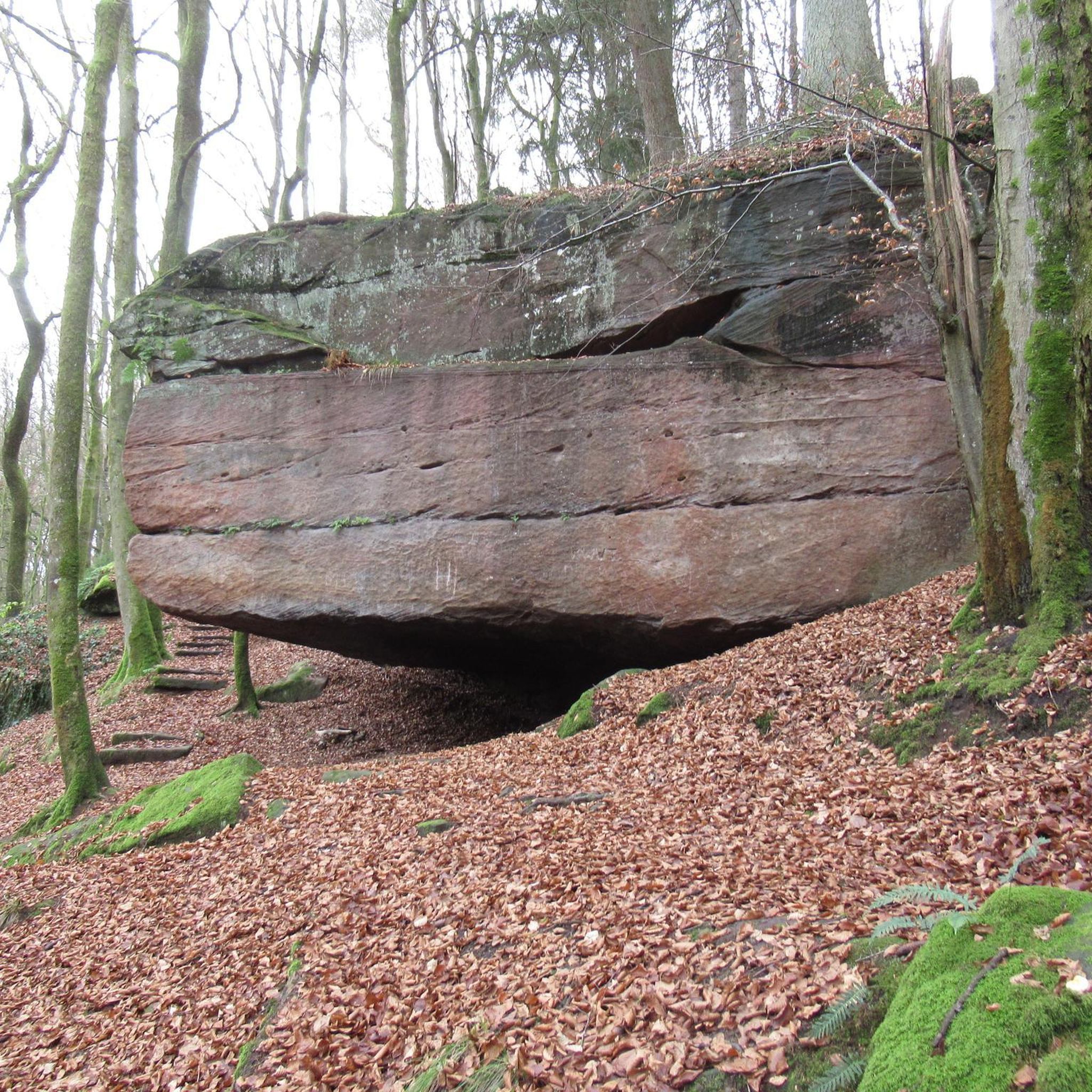
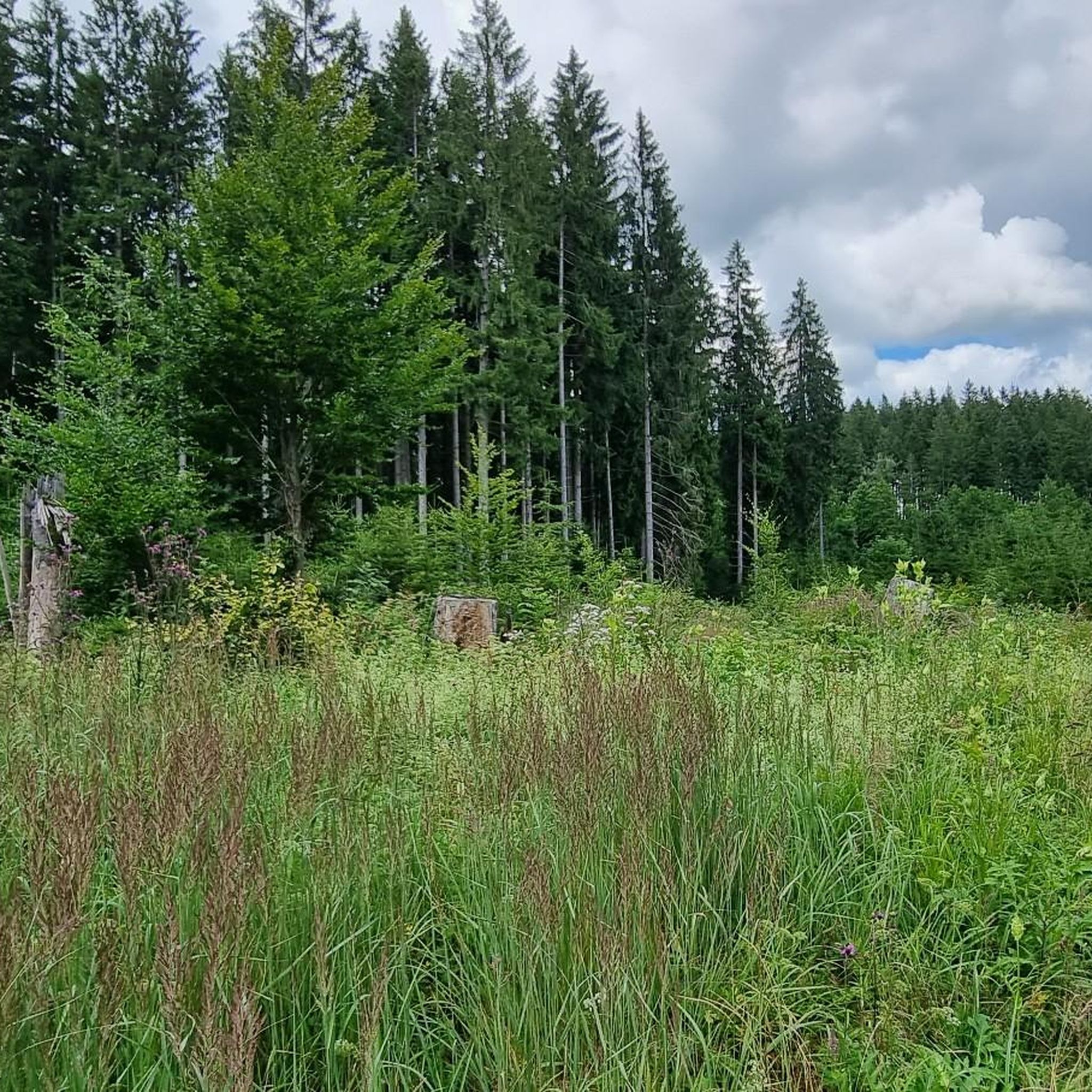
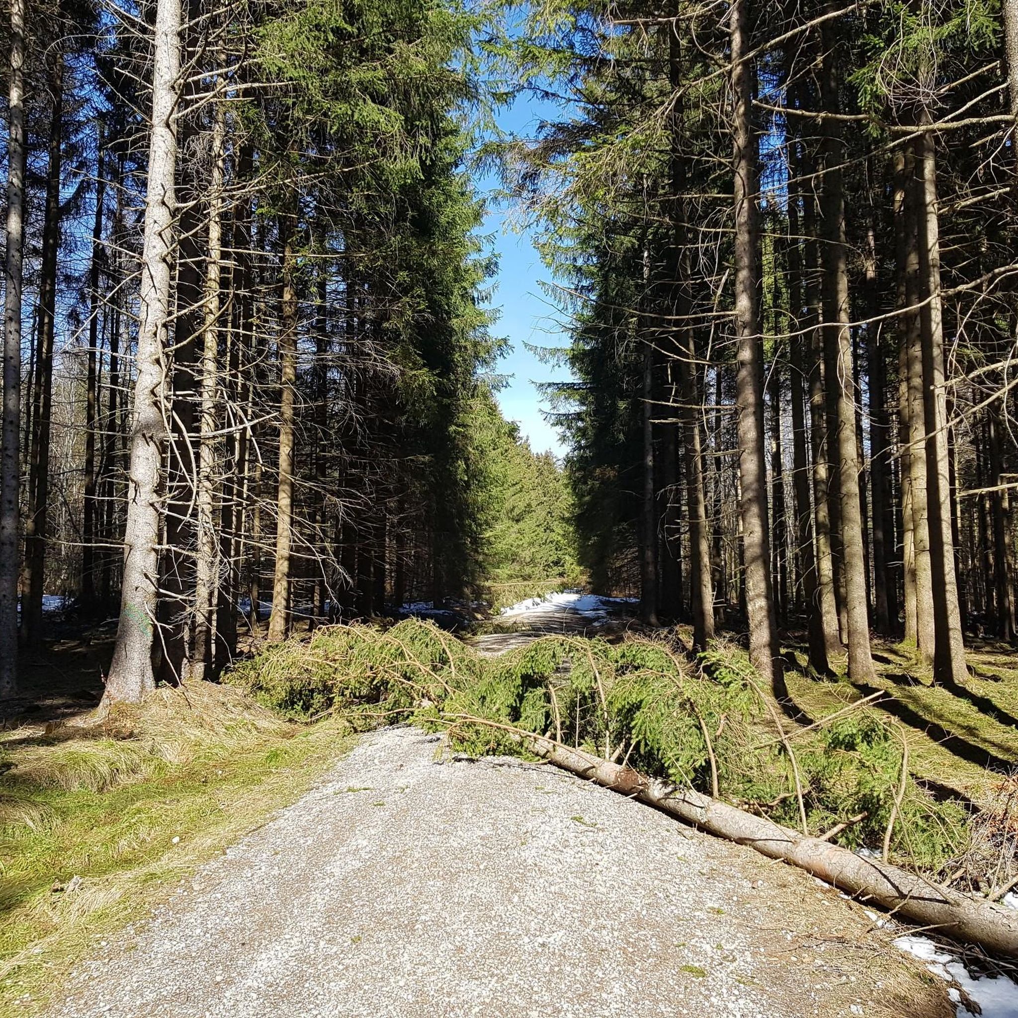
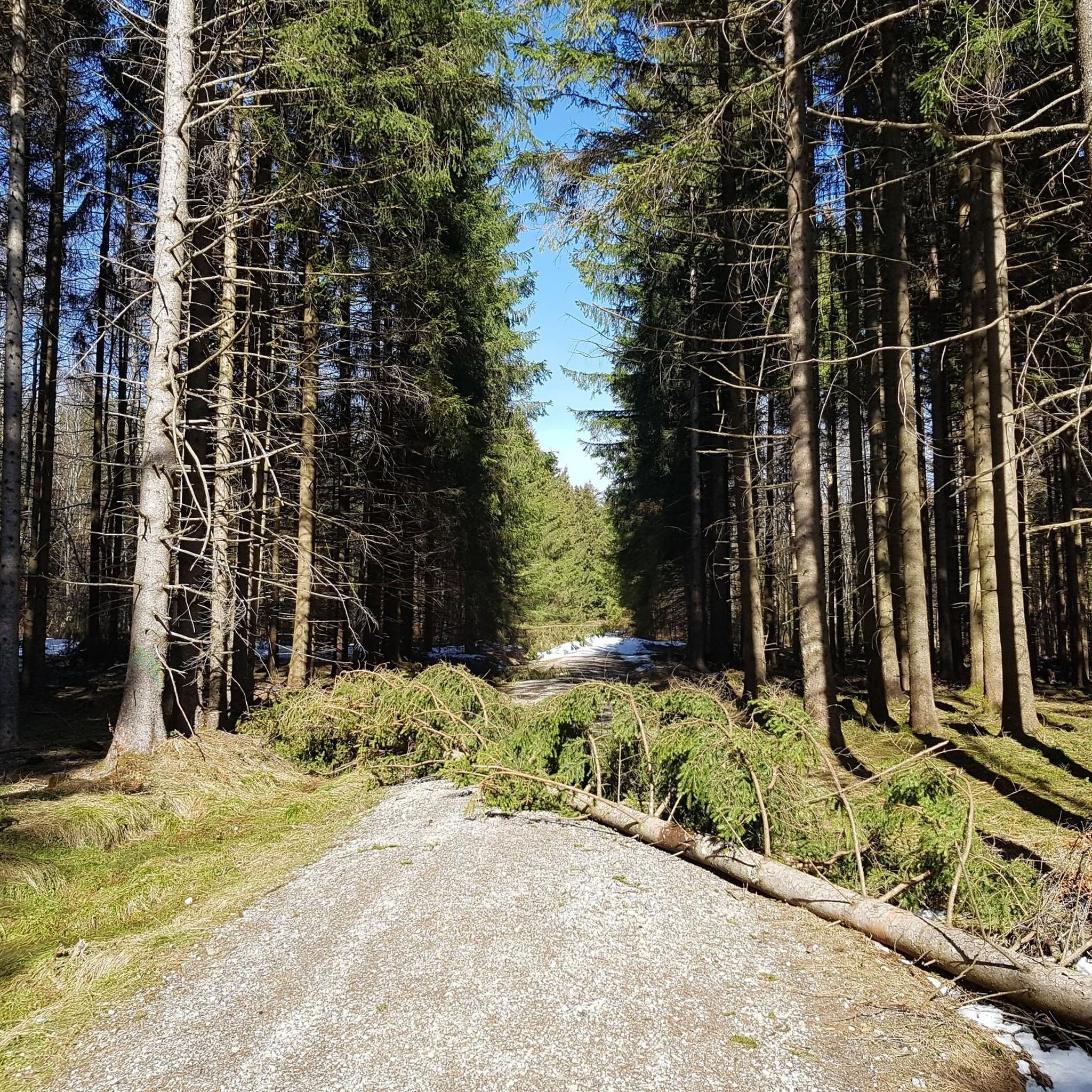
Hiking around Kempter Wald offers diverse outdoor activities within its distinctive landscapes. The region is characterized by rolling hills and dense forests, part of the pre-Alpine Allgäu moor and hill country. It features one of the largest collections of glacial erratics in the northern Alps, including the massive Dengelstein. Streams and small rivers flow through the forest, with a significant portion under nature protection.
Best hiking trails around Kempter Wald
- The most popular hiking route is Dengelstein Glacial Erratic –…
Last updated: October 4, 2026
4.6
(13)
66
hikers
8.60km
02:19
110m
110m
Moderate hike. Good fitness required. Easily-accessible paths. Suitable for all skill levels.
4.7
(9)
51
hikers
Easy hike. Great for any fitness level. Easily-accessible paths. Suitable for all skill levels.

4.8
(13)
42
hikers
Easy hike. Great for any fitness level. Easily-accessible paths. Suitable for all skill levels.
3.8
(11)
42
hikers
10.8km
02:54
130m
130m
Moderate hike. Good fitness required. Easily-accessible paths. Suitable for all skill levels.
4.3
(19)
45
hikers
12.3km
03:15
110m
110m
Moderate hike. Good fitness required. Easily-accessible paths. Suitable for all skill levels.
Get access to more routes and recommendations from other explorers.
Already have an account?
Our route recommendations are based on thousands of hikes, rides, and runs completed by other people on komoot.
Start today with a free account
Your next adventure awaits.
Tips from the Community

In the Kemptener Wald, the Durach and the Langeneckbach, which flows into the Durach, have a reddish color. In summer, however, they carry very little water and are almost dry. However, this can change very quickly with heavy rain, as the flood marks in Durach show.
0
0
You can still stay at Pension Mittelallgäu, but they have stopped operating the restaurant.
0
0

View into the Tannheimer Mountains🥰
0
0

Knollerhag viewing platform, unfortunately the view is a bit restricted nowadays
0
0
Best viewpoint at Hochgreuth
1
0


Dreamlike view
0
0
There should be a bench here.
1
0
Frequently Asked Questions
How many hiking trails are available in Kempter Wald?
Kempter Wald offers a wide variety of hiking experiences, with over 700 trails to explore. These routes cater to different fitness levels, from easy strolls to more challenging hikes.
Are there easy hiking trails suitable for beginners or families in Kempter Wald?
Yes, Kempter Wald has many easy trails perfect for beginners and families. Over 480 routes are classified as easy. For example, the Knollerhag Viewpoint – Forest chapel in the Kempter Forest loop from Hauptmannsgreut is an easy 7 km path that offers panoramic views and passes a historic forest chapel.
What kind of natural features can I expect to see while hiking in Kempter Wald?
The region is characterized by rolling hills, dense forests, and unique geological formations. You'll encounter one of the largest collections of glacial erratics in the northern Alps, including the impressive Dengelstein. The forest is also home to several streams and protected nature areas like the "Devil's Kitchen".
Are there any notable viewpoints in the Kempter Wald area?
Yes, the Knollerhag viewpoint is a significant highlight, offering magnificent panoramic views of the entire Allgäu region. It's often included in popular hiking routes.
Can I find circular hiking routes in Kempter Wald?
Absolutely. Many trails in Kempter Wald are designed as circular routes, allowing you to start and end at the same point. An example is the Hiking loop from Hauptmannsgreut, a 5.1 km trail through dense forests.
Are there any waterfalls or natural monuments to see near the hiking trails?
Yes, the area around Kempter Wald features several beautiful waterfalls and natural monuments. You can explore highlights like the Waterfall trail Nesselwang or the Geratser Waterfall. The region is also famous for its glacial erratics, such as the massive Dengelstein.
What do other hikers enjoy the most about hiking in Kempter Wald?
The trails in Kempter Wald are highly rated by the komoot community, with an average score of 4.5 stars from over 8,700 reviews. Hikers often praise the diverse landscapes, the well-maintained paths, and the opportunity to discover unique natural features like the glacial erratics and scenic viewpoints.
Are there any historical or cultural landmarks along the hiking routes?
Beyond natural beauty, Kempter Wald offers historical points of interest. You might encounter an old hunting lodge with a forest chapel, or the ruins of medieval castles like Wolkenberg and Neuenburg, adding a cultural dimension to your hike.
Are there options for longer, more challenging hikes in Kempter Wald?
While many trails are easy to moderate, there are also longer routes for those seeking more challenge. For instance, the Kempter Forest – Beilstein Alpe loop from Kempter Wald is a moderate 12.2 km trail that takes around 3 hours 15 minutes to complete.
Is there parking available near the trailheads in Kempter Wald?
Yes, many popular trailheads and starting points for hikes in Kempter Wald, such as those near Betzenried or Hauptmannsgreut, offer designated parking areas for hikers. It's advisable to check specific route details for parking information.
Can I access hiking trails in Kempter Wald using public transport?
While specific public transport connections vary, the region is generally accessible. Some villages bordering Kempter Wald have bus connections, which can serve as starting points for hikes. It's recommended to check local bus schedules for the most up-to-date information on reaching trailheads.
Are there places to eat or rest along the hiking trails?
Yes, you'll find rustic inns and refreshment stops along some of the routes in Kempter Wald, providing opportunities to take a break and enjoy local cuisine. These can be particularly welcoming after a long walk.
Most popular routes around Kempter Wald
Most popular attractions around Kempter Wald

Get inspired with the komoot mobile app


Explore more
Browse the best Hikes in other regions.
