The best road cycling routes around Kelsterbach
4.4
(1813)
32,043
riders
350
rides
Road cycling routes around Kelsterbach benefit from the region's location along the Main River and its integration into extensive cycling networks. The terrain is largely flat, particularly along the Main Cycle Route, offering well-maintained, mostly asphalted surfaces. Proximity to the Frankfurt City Forest and the broader RhineMain Regionalpark provides diverse landscapes including woods, meadows, and riverside paths. This area features a blend of urban development and traditional cultural landscapes, suitable for various road cycling experiences.
Best road cycling routes around…
Last updated: October 14, 2026
4.8
(15)
208
riders
Moderate road ride. Good fitness required. Some segments of this route may be unpaved and difficult to ride.
4.8
(4)
50
riders
45.4km
01:57
190m
190m
Moderate road ride. Great for any fitness level. Some segments of this route may be unpaved and difficult to ride.

30
riders
101km
04:43
1,150m
1,150m
Hard road ride. Very good fitness required. Mostly well-paved surfaces and easy to ride.
5.0
(3)
27
riders
11.7km
00:28
30m
30m
Easy road ride. Great for any fitness level. Mostly well-paved surfaces and easy to ride.
3.0
(2)
12
riders
Moderate road ride. Great for any fitness level. Some segments of this route may be unpaved and difficult to ride.
Get access to more routes and recommendations from other explorers.
Already have an account?
Our route recommendations are based on thousands of hikes, rides, and runs completed by other people on komoot.
Start today with a free account
Your next adventure awaits.
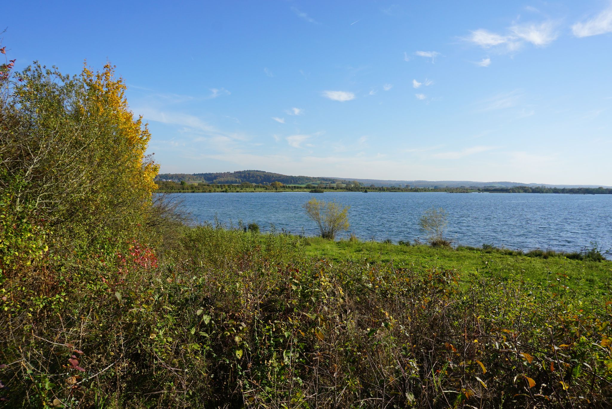
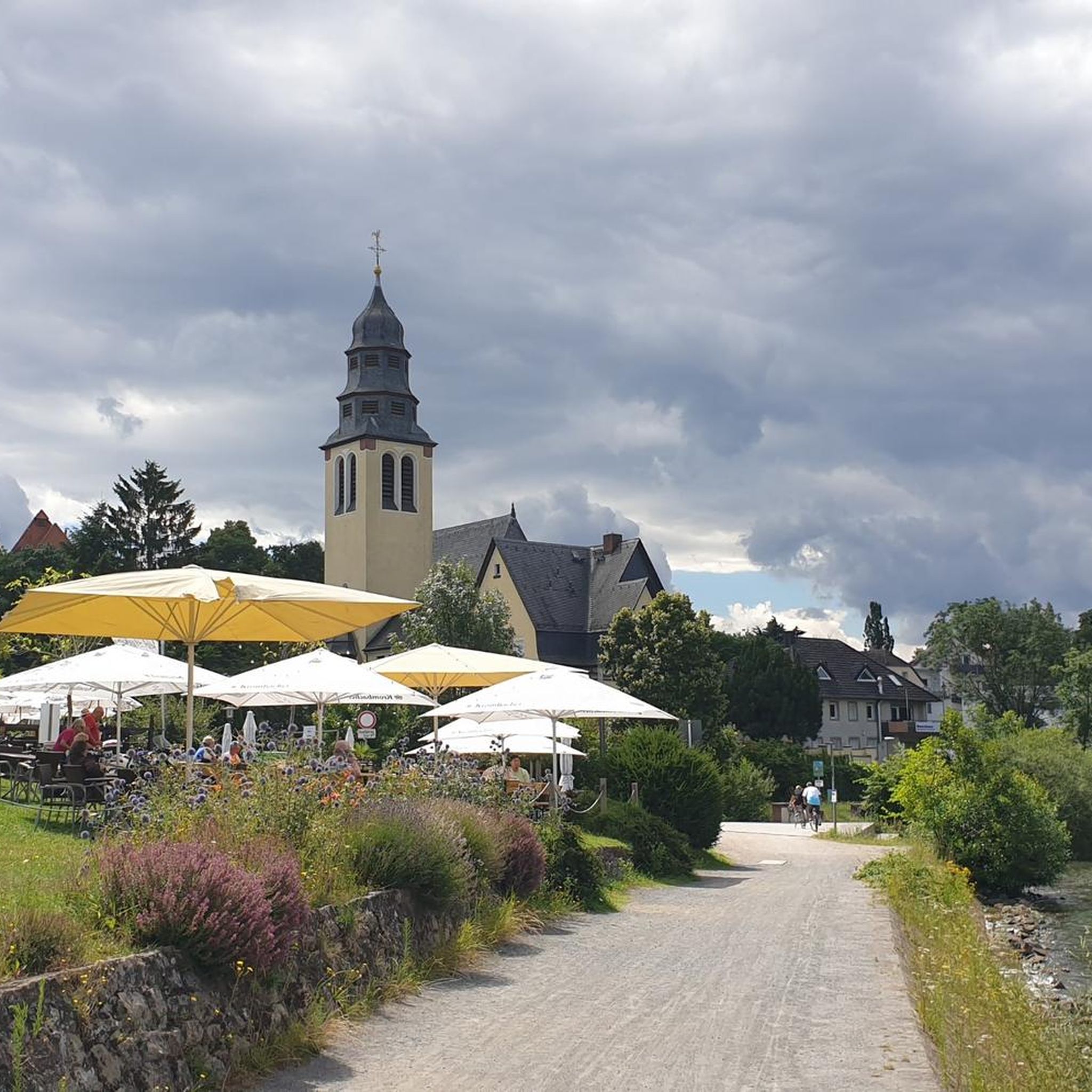
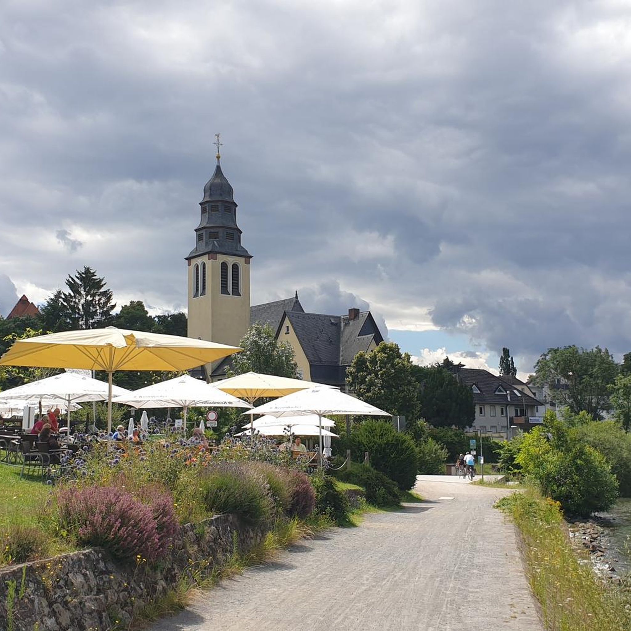
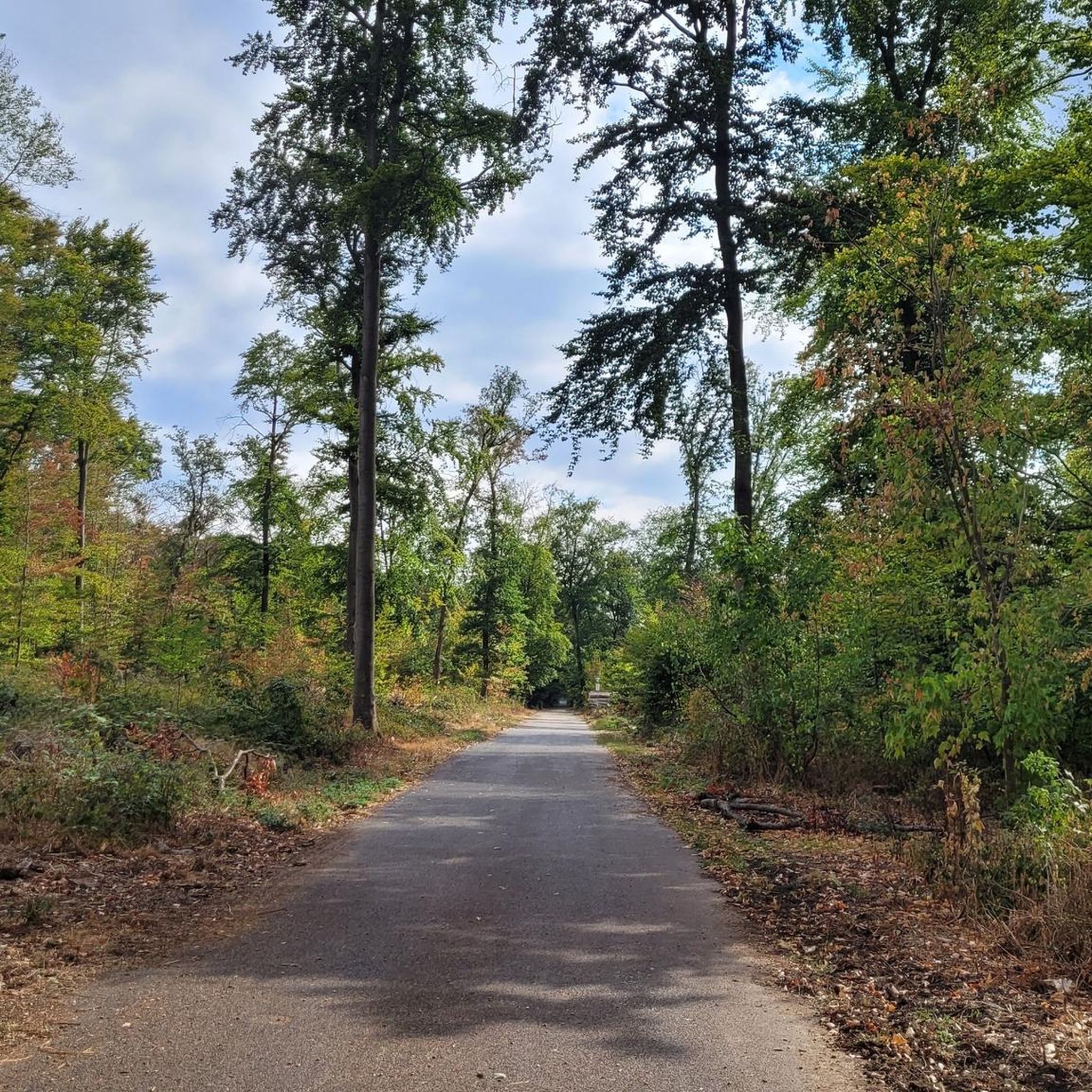
Other adventures around Kelsterbach

Tips from the Community

Right next to the motorway is the small viewing hill. From its "platform" you have beautiful clear panoramic views, great.
3
0
The tower at the entrance of the Regional Park at the Weilbacher Kiesgrube offers a fantastic panorama from its 27 m high observation deck, great.
2
0

The industrial site is the so-called Phrix-Werke (cellulose and paper mill). This factory turned the rather rural and small Okriftel into an industrial location with over 1,000 jobs in this plant alone. Founded in 1884/1885, the founders - the Offenheimer family - had to emigrate to the USA during the Third Reich. In 1970, the plant was closed (after being transferred back to the founding family, sold (among others to BASF)). Parts of this complex are listed as historical monuments and have been converted into condominiums, lofts, and shops for several years.
0
0

The viewing bastion shows the Rhein-Main region with all its contrasts, its charming and its edgy aspects. The view sweeps over fields and meadows to the nearby low mountain ranges. In contrast, the A 3 motorway, with seven lanes, roars directly at the foot of the "observation post", and on the high-speed rail line next to it, ICE trains speed back and forth between Frankfurt and Cologne – and above them, jets circle. LANDSCAPE OF EXCITING CONTRASTS No one from the region would want to talk up Rhein-Main as being more beautiful than it is. Nor does anyone need to. Because here people are so self-confident that they not only accept the ambivalent appearance but even present it with the greatest conviction. The viewing bastion on the A 3 is an outstanding example of this. Anyone who, for example, looks out in spring over the blooming meadows and budding trees towards the slowly greening heights of the Odenwald or Taunus will hardly be able to avoid calling it idyllic. The path to the small hill itself is a feast for the eyes: since planting in 2003, the 1.5-kilometer-long avenue with a succession of oak, cherry, and sycamore trees has developed splendidly. To enjoy the idyll, one "only" has to block out the roar on the region's lifelines, the transport routes to the trading and banking city. However, the more than lively flow of goods and the constant coming and going of people have been part of the pulsating metropolitan region for centuries. This all-encompassing mobility underscores the location of Frankfurt Rhein Main in the heart of Europe. Anyone who has climbed the winding cobblestone spiral to the small platform of the artificial hill on the A 3 will certainly marvel at the nobly rusted Corten steel plates. These "sights" direct the gaze to the most striking points in the landscape. The Melibokus, at 517 m and with its very regular cone shape, clearly stands out from the Odenwald ridge. The Frankfurt Airport Tower appears just as clearly as the characteristic Frankfurt skyline. The elevations in the Taunus range present themselves as an impressive ensemble: Altkönig (798 m), Großer Feldberg (879 m), the nearby Kleine Feldberg (825 m above sea level), and – very close by – Kapellenberg (292 m) near Hofheim.
15
0
The Main-Taunus Arboretum is a park-like woodland landscape of approximately 76 hectares located between Eschborn, Schwalbach, and Sulzbach. It was established in the early 1980s as compensatory reforestation for the expansion of Frankfurt Airport on the site of a former airfield. Today, over 600 species of trees and shrubs from the temperate regions of the Northern Hemisphere grow here. Instead of individual display trees, complete forest communities have been planted, allowing visitors to experience a small "botanical world tour" through forests from Europe, North America, and Asia along its walking paths. The freely accessible arboretum combines nature experiences, environmental education, and recreation and is considered one of the most important tree collection areas in the region – a tranquil, green contrast to the nearby metropolis of Frankfurt.
7
0
The Okriftel cellulose factory was founded in 1884/85. After its "Aryanization" in 1938, the Offenheimer family fled to the USA. In 1949, the factory was returned to the family and subsequently sold to Phrix-Werke. By 1951, the expanded production employed over 1,000 workers. BASF took over the plant in 1967. It closed three years later. Today, parts of the factory are used as workshops, offices, and artists' studios. The architect Georg Metzendorf designed the villa, the former administration building on Kirchgrabenstraße, which is a listed historical monument. In May 2008, a production hall and the acid tower along Rheinstraße were demolished to make way for a new supermarket. In the coming years, the site of the former factory is slated for development – primarily residential, but also commercial units – with the aim of preserving as many of the existing buildings as possible.
12
0
The Mainz South Bridge (also known as the Mainz-South Railway Bridge, and at times as the Mainz-Gustavsburg Railway Bridge) is a railway bridge on the Mainz–Frankfurt railway line, spanning the Rhine at river kilometer 496.4 and connecting Mainz in Rhineland-Palatinate with Gustavsburg in Hesse. A footbridge attached to the north side of the bridge allows pedestrians and cyclists to cross the river.
19
2

Forgotten Opel Manta B
1
1
Frequently Asked Questions
How many road cycling routes are available around Kelsterbach?
There are over 300 road cycling routes around Kelsterbach, offering a wide variety of experiences. These routes are highly rated by the komoot community, with an average score of 4.4 stars from over 1200 reviews.
What kind of terrain can I expect on road cycling routes in Kelsterbach?
The terrain around Kelsterbach is largely flat, especially along the Main River and Nidda River, making it ideal for road cycling. You'll find well-maintained, mostly asphalted surfaces. Routes also extend into the Frankfurt City Forest and the RhineMain Regionalpark, offering a mix of riverside paths, forest sections, and open meadows.
Are there easy road cycling routes suitable for beginners or families in Kelsterbach?
Yes, Kelsterbach offers many easy road cycling routes. For example, the Old factory on the Main – Mönchhof Chapel loop from Kelsterbach is an easy 7.3-mile (11.7 km) path that provides pleasant views along the Main River, starting directly from Kelsterbach. In total, there are 75 easy routes available.
What are some notable natural features or landmarks I can see while cycling in the area?
While cycling, you can enjoy the picturesque Main River and its riverside paths, the extensive Frankfurt City Forest, and the diverse landscapes of the RhineMain Regionalpark. Specific highlights include the confluence of the Nidda and Main rivers. You might also encounter historical sites like Old Höchst Castle or Bolongaro Palace, and serene spots like Jacobi Pond.
Are there any long-distance road cycling options from Kelsterbach?
Absolutely. Kelsterbach provides excellent access to long-distance routes. The famous Main Cycle Route (Main-Radweg) runs directly through the area, offering hundreds of kilometers of cycling along the Main River. Another option is the Nidda Cycle Path – Nidda River Rapids loop from Hattersheim am Main, a 48.8-mile (78.6 km) route following the scenic Nidda River.
Can I find routes with more challenging elevation profiles around Kelsterbach?
While many routes are flat, there are options for more challenging rides. For instance, the Niederjosbach–Oberjosbach Road – Idstein Old Town loop from Kelsterbach is a difficult 64.0-mile (103.0 km) trail that includes significant elevation gain, leading through varied landscapes towards Idstein. In total, there are 37 difficult routes available.
What is the best time of year for road cycling in Kelsterbach?
The spring, summer, and early autumn months generally offer the best conditions for road cycling in Kelsterbach. During these seasons, the weather is typically mild, and the riverside paths and forest routes are at their most enjoyable. The Main Cycle Route is particularly popular during these times.
Are there circular road cycling routes available from Kelsterbach?
Yes, many routes around Kelsterbach are designed as loops, allowing you to start and end in the same location. An example is the KelsterBAR on the River Main – KelsterBar on the banks of the Main loop from Kelsterbach, a moderate 39.3-mile (39.3 km) route that explores the Main River banks.
Where can I find viewpoints or scenic spots along the cycling routes?
Many routes offer scenic views, especially along the Main River and within the Frankfurt City Forest. The View of the Frankfurt skyline – Nidda Cycle Path loop from Kelsterbach specifically highlights views of the city skyline. The Kelsterbach riverside terrace (Mainvorland) is also a popular spot for enjoying the river scenery.
Is public transport accessible for reaching road cycling routes in Kelsterbach?
Kelsterbach is well-integrated into the regional transport network, making it accessible by public transport. This allows cyclists to reach starting points for various routes or to combine cycling with train travel for longer excursions along the Main Cycle Route or other regional paths.
Are there places to stop for refreshments or food along the cycling routes?
Yes, especially along the Main River and in towns within the RhineMain Regionalpark, you'll find various cafes, pubs, and restaurants. The Waldgasthof Gundelhard is one such option that cyclists might encounter on routes through the forest areas.
Most popular routes around Kelsterbach
Most popular attractions around Kelsterbach

Get inspired with the komoot mobile app


Explore more
Browse the best Road cycling routes in other regions.
