The 6 Most Amazing Peaks in Alb-Donau-Kreis
Mountain peaks in Alb-Donau-Kreis are part of the Swabian Jura, a low mountain range characterized by karst landscapes, rolling hills, and limestone cliffs. The region features numerous elevated areas and natural attractions, offering scenic beauty and recreational opportunities. With an average elevation of 613 meters, the district provides varied terrain for outdoor activities. It is recognized as part of the UNESCO Global Geopark Swabian Alb, highlighting its geological and natural significance.
Best mountain peaks in Alb-Donau-Kreis
- The most popular mountain…
Last updated: October 18, 2026
View over Blaubeuren from Blaufels
Highlight • Viewpoint
Translated by Google •
Tip by

Lonetopf (Source of the Lone River)
Highlight • Natural Monument
Translated by Google •
Tip by

Sign up now to discover places like this
Get recommendations on the best single tracks, peaks, & plenty of other exciting outdoor places.
Nesting Aid Educational Trail Allmendinger Lichse
Highlight • Trail
Translated by Google •
Tip by

Sellenberg Summit Cross
Highlight • Summit
Translated by Google •
Tip by

Viewing Telescope Westerheim
Highlight • Viewpoint
Translated by Google •
Tip by

Sugarloaf
Highlight • Summit
Translated by Google •
Tip by
View of the summit cross on Rucken
Highlight • Viewpoint
Translated by Google •
Tip by

Prehistoric Rampart on Hägelesberg Summit
Highlight • Historical Site
Translated by Google •
Tip by
Start today with a free account
Your next adventure awaits.
Popular around Alb-Donau-Kreis

Main-Danube-Lake Constance Trail – Along iconic waters
The Trail of Consciousness – hiking for body and soul in the Swabian Alb
The Danube Cycle Path – From Donaueschingen to Budapest
Hiking breaks in the South – two-day routes in Baden-Württemberg
Where valleys tell stories – hiking the rivers of the Swabian Jura
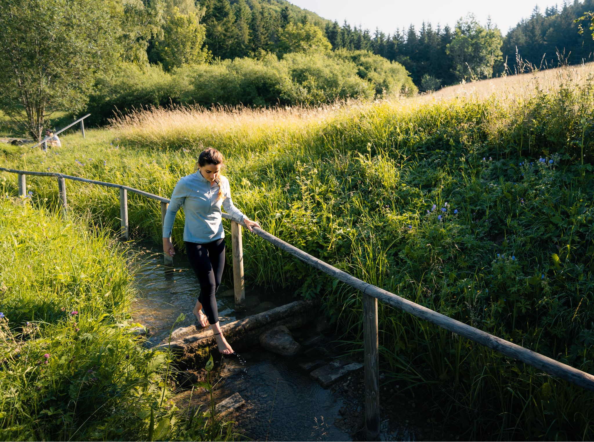
Hiking on the Swabian Alb with all your senses
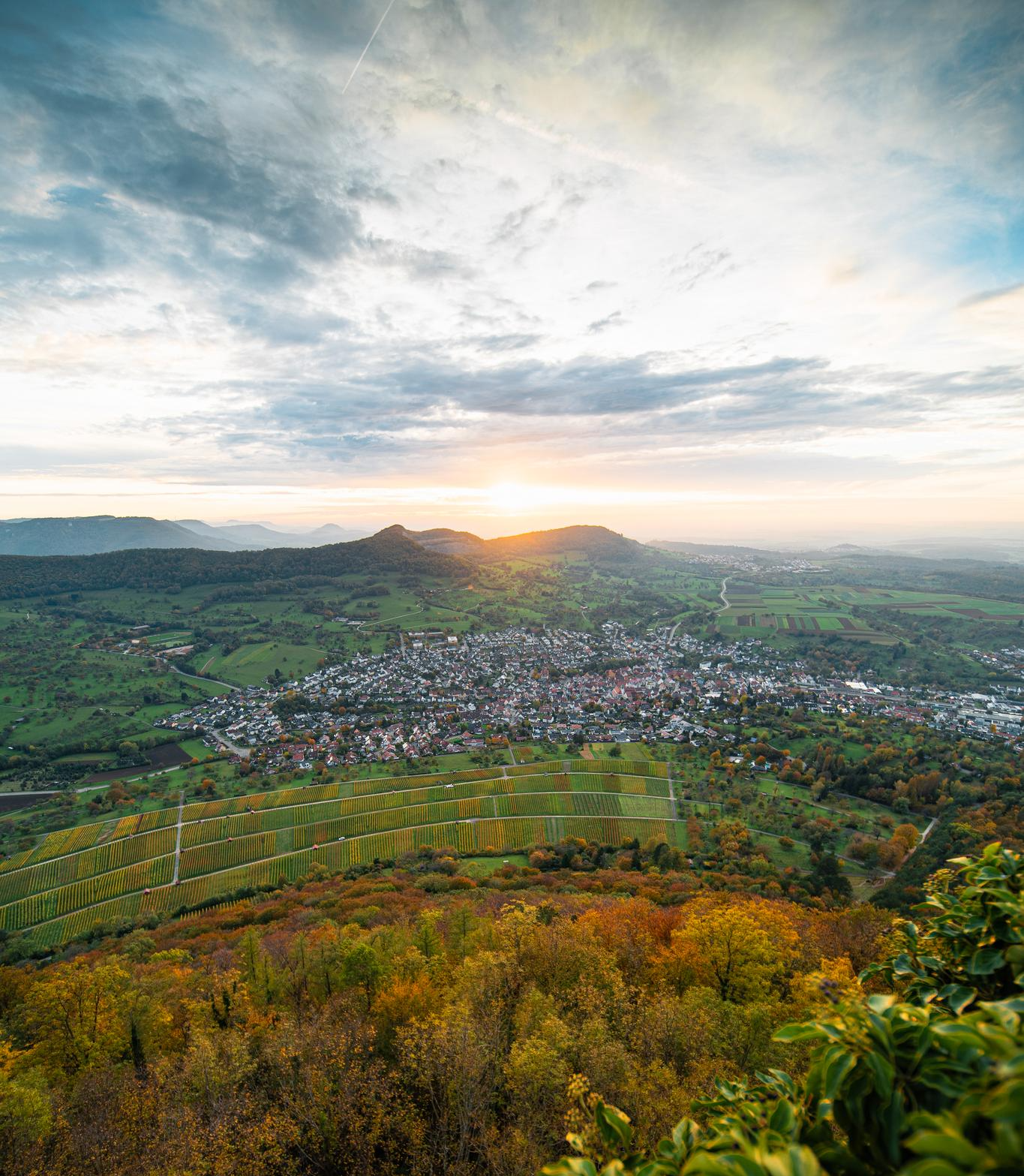
E-bike pleasure rides in the Swabian Alb
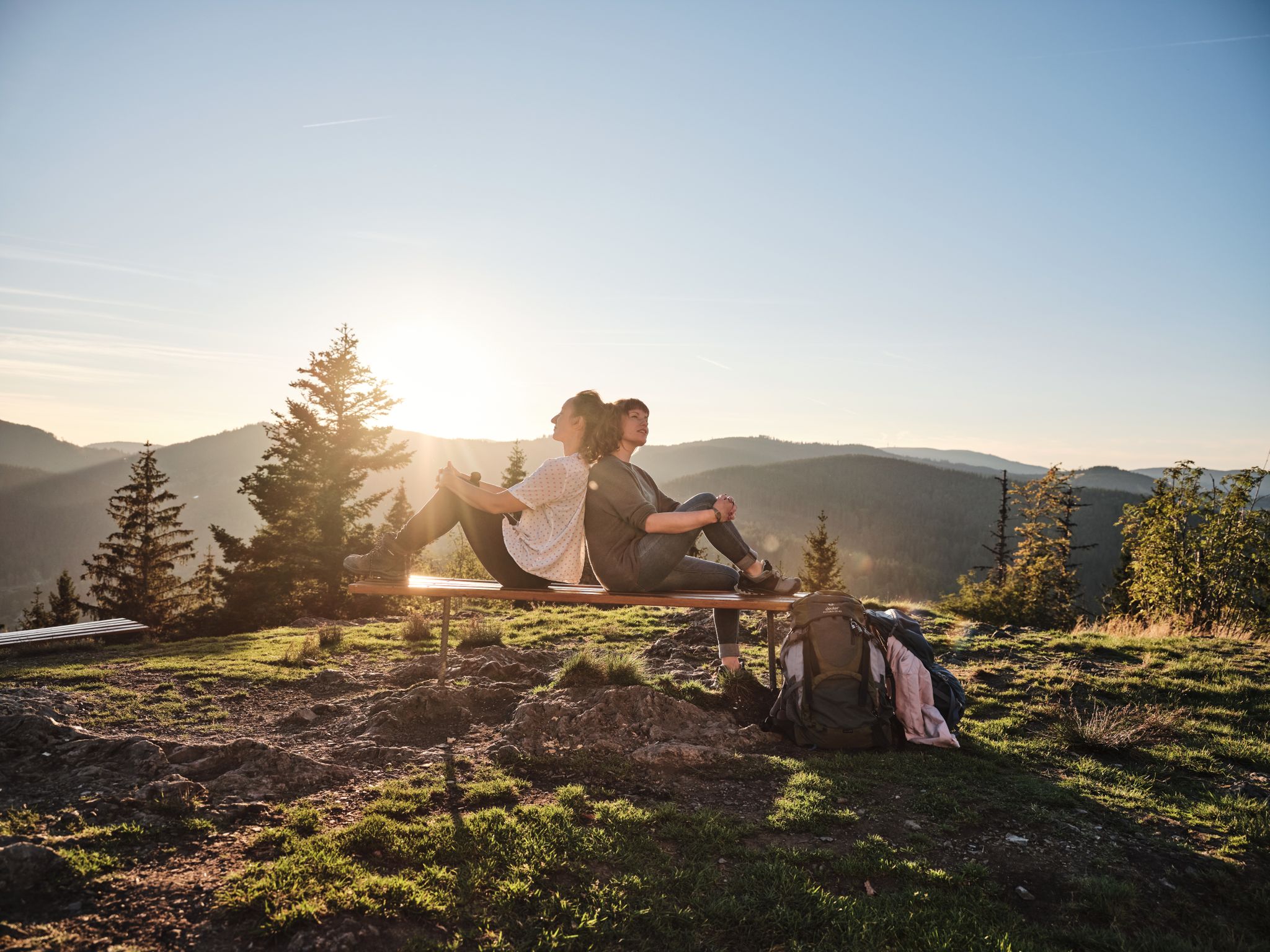
Hiking the Süden – between Black Forest, Lake Constance and Swabian Alb
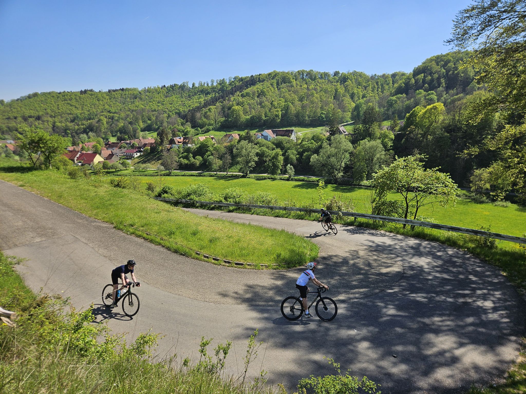
From mountain sprints to winding roads – the Tour de Alb road cycling adventure
Hills, RAISED BOGS and HIGH BAROQUE - the Oberschwaben-Allgäu-Radweg
Other adventures in Alb-Donau-Kreis


Tips from the Community

The Sellenberg is Westerheim's local mountain. It offers a wide view and serves as a historical site for chapel construction, crosses, festivals, and local traditions.
3
0


From the south, there is no path and you can easily reach the rocky summit. Unfortunately, the view is very limited.
0
0

I really enjoyed this tour: https://www.komoot.com/de-de/tour/1787623392
0
0

Really nice place to relax and enjoy 👍🌞
0
0

A very nice view
11
1

Frequently Asked Questions
What kind of elevated areas and natural features can I expect to find in Alb-Donau-Kreis?
The Alb-Donau-Kreis, part of the Swabian Jura, is characterized by rolling hills, dramatic limestone cliffs, and picturesque river valleys rather than towering mountain peaks. You'll find numerous elevated areas, viewpoints, and unique natural monuments. Key features include karst landscapes, juniper heaths, and impressive rock formations like the 'Kissing Sow' in the Achtal valley. The region is also known for its significant cave systems, such as the Lonetopf (Source of the Lone River) and the Laichinger Tiefenhöhle, one of Germany's deepest accessible caves.
Are there any historical sites on the elevated areas of Alb-Donau-Kreis?
Yes, several elevated areas in Alb-Donau-Kreis offer historical insights. For example, the Prehistoric Rampart on Hägelesberg Summit provides a glimpse into ancient history. Additionally, the Günzelburg Ruins, perched on a rock tower near Blaubeuren-Weiler at 685 meters, offer historical context of a former rock castle and are a rewarding hiking destination.
Which elevated areas offer the best panoramic views in Alb-Donau-Kreis?
For stunning panoramic views, consider visiting the View over Blaubeuren from Blaufels, which offers a wonderful perspective of Blaubeuren and the valley. The Sellenberg Summit Cross in Westerheim also provides views of the surrounding area. Another great spot is the Viewing Telescope Westerheim, which is family-friendly and offers expansive vistas.
Are there family-friendly elevated trails or viewpoints in Alb-Donau-Kreis?
Absolutely. The Nesting Aid Educational Trail Allmendinger Lichse is a lovingly made educational trail suitable for families, featuring break benches for rest. The Viewing Telescope Westerheim is also categorized as family-friendly. Additionally, the Lonetopf (Source of the Lone River) is a natural monument that can be enjoyed by families.
What is the highest point or most notable elevated area in Alb-Donau-Kreis?
While Alb-Donau-Kreis doesn't have towering peaks, one of its highest elevated areas is the Halde near Westerheim, which serves as the highest base station for skiing in the district, situated at 780 meters. This area offers scenic views and recreational opportunities, especially in winter.
What outdoor activities can I do near the elevated areas of Alb-Donau-Kreis?
The region offers diverse outdoor activities. You can explore numerous hiking trails through the Swabian Jura hills and valleys, such as those in the picturesque Lautertal. For cycling enthusiasts, there are many options, including gravel biking routes like the 'Gravel route through Kleine Lautertal' or road cycling routes such as the 'Schmiech Valley – Path Along the River Blau loop from Merklingen'. Running trails are also available, including the 'Lauter Valley Cycle Path – Great Lauter Valley loop from Lauterach'. You can find more details on these activities in the respective guides: Gravel biking in Alb-Donau-Kreis, Road Cycling Routes in Alb-Donau-Kreis, and Running Trails in Alb-Donau-Kreis.
Are there any unique geological formations to see in the region?
Yes, the Alb-Donau-Kreis, as part of the UNESCO Global Geopark Swabian Alb, is rich in unique geological formations. The Lautertal is known for its bizarre limestone formations, including the famous 'Kissing Sow' in the Achtal valley near Blaubeuren. The region also features impressive karst caves like the Vogelherd cave in the Lone Valley and the Laichinger Tiefenhöhle, Germany's deepest accessible cave.
What do visitors enjoy most about the elevated areas in Alb-Donau-Kreis?
Visitors particularly enjoy the wonderful views and the rewarding journeys to these elevated spots. For instance, the View over Blaubeuren from Blaufels is highly praised for its panoramic scenery. Many appreciate the tranquil excursion destinations like the Nesting Aid Educational Trail Allmendinger Lichse, which offers a chance to explore the forest and relax on break benches after an ascent. The general appeal lies in the diverse natural scenery and the opportunities for relaxation and exploration.
Can I find trails with summit crosses in Alb-Donau-Kreis?
Yes, you can. The Sellenberg Summit Cross in Westerheim is a notable example, offering views from its elevated position. Another spot is the View of the summit cross on Rucken, which also provides nice views of Blaubeuren.
What is the best time to visit the elevated areas and natural attractions in Alb-Donau-Kreis?
The Swabian Jura offers beauty throughout the year. Spring and autumn are ideal for hiking and cycling, with pleasant temperatures and vibrant natural colors. Summer provides warm weather for outdoor activities, while winter transforms the landscape, offering opportunities for winter sports at elevated areas like Halde – Westerheim, which has the highest base station for skiing in the district.
Are there any natural monuments or unique springs to visit?
Yes, the region is home to several natural monuments. The Lonetopf (Source of the Lone River) is a significant natural monument. Additionally, the Blautopf in Blaubeuren, while not an elevated area, is a stunning blue spring and one of the most famous natural spectacles of the Swabian Alb, often integrated into hiking routes.
Most popular routes in Alb-Donau-Kreis
Most popular attractions in Alb-Donau-Kreis

Get inspired with the komoot mobile app


Didn’t find what you were looking for?
Discover Alb-Donau-Kreis’s best peaks and summits by region:
Explore more
See even more amazing summits in Alb-Donau-Kreis with these guides:
