The best running trails around Mulderg
18
runners
4
runs
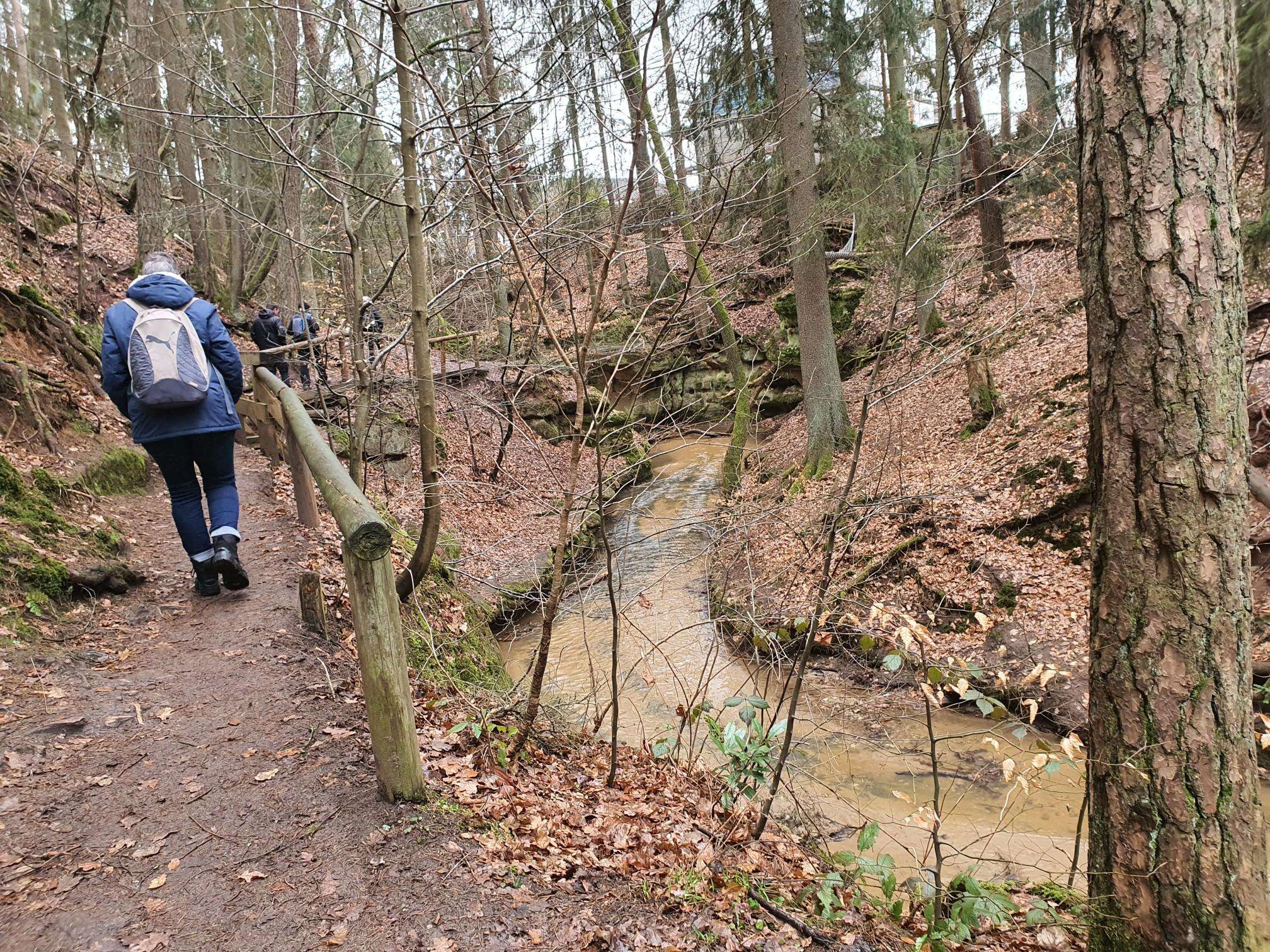
Jogging routes around Mulderg primarily traverse forested areas and river valleys. The landscape features a mix of woodlands, such as Loughermore Forest and Ervey/Tamnymore Woods, alongside waterways like the Loughermore River. Runners can expect varied terrain, including moderate ascents and descents, with some routes featuring waterfalls. The region offers a natural setting for outdoor activity.
Best jogging routes around Mulderg
- The most popular jogging route is Loughermore – Loughermore Forest loop from Loughermore River, a 6.9 miles (11.1 km)…
Last updated: July 1, 2026
7
runners
11.1km
01:28
310m
310m
Hard run. Very good fitness required. Mostly paved surfaces. Suitable for all skill levels.
7
runners
Moderate run. Good fitness required. Mostly paved surfaces. Suitable for all skill levels.

Sign up for free
2
runners
5.83km
00:46
140m
140m
Moderate run. Good fitness required. Mostly paved surfaces. Suitable for all skill levels.
2
runners
10.0km
01:06
180m
180m
Moderate run. Good fitness required. Mostly paved surfaces. Suitable for all skill levels.
Our route recommendations are based on thousands of hikes, rides, and runs completed by other people on komoot.
Start today with a free account
Your next adventure awaits.
Login or Signup
Popular around Mulderg
Frequently Asked Questions
What kind of terrain can I expect on running routes around Mulderg?
Jogging routes in Mulderg primarily traverse forested areas and river valleys. You can expect varied terrain, including woodlands like Loughermore Forest and Ervey/Tamnymore Woods, alongside waterways such as the Loughermore River. Many routes feature moderate ascents and descents, providing a natural and engaging setting for your run.
Are there any routes with waterfalls in the Mulderg area?
Yes, the region offers scenic running paths that pass by waterfalls. For example, the Ervey /Tamnymore Woods loop from Ness Waterfall Highest Waterfall In Northern Ireland is a moderate 6.5 km route that takes you through woods and directly past the Ness Waterfall.
Are there any long-distance running trails available in Mulderg?
For those looking for a longer run, the Loughermore – Loughermore Forest loop from Loughermore River is a challenging 11.1 km trail. It features over 300 meters of elevation gain through dense forest, making it a good option for a more extended and demanding workout.
What are the difficulty levels of the jogging routes in Mulderg?
The running routes around Mulderg offer a mix of difficulty levels. There are three moderate routes and one difficult route. This variety ensures options for different fitness levels, from enjoyable moderate runs to more challenging trails with significant elevation changes.
Are there circular running routes in Mulderg?
Yes, many of the running paths in Mulderg are designed as loops. For instance, the Loughermore Forest loop from Loughermore River is a moderate 5.8 km circular route, perfect for a refreshing run through the woodlands.
What kind of landscapes will I see on a run near Straidarran?
If you're running near Straidarran, you'll experience rural landscapes. The Standing Stone – Rath loop from Straidarran is a 10.0 km moderate trail that guides you through these scenic countryside settings.
How many people have explored the running routes in Mulderg using komoot?
More than 17 runners have already used komoot to explore the varied terrain and running routes around Mulderg, indicating a growing community enjoying these trails.
What kind of forests can I expect to run through in Mulderg?
The Mulderg region features prominent woodlands such as Loughermore Forest and Ervey/Tamnymore Woods. These forests provide a natural and often dense canopy for many of the running routes, offering a refreshing environment for your jog.
Are there any routes suitable for a moderate-length run in Mulderg?
Absolutely. The Ervey /Tamnymore Woods loop from Ness Waterfall Highest Waterfall In Northern Ireland is a moderate 6.5 km route, typically completed in about 45 minutes, offering a pleasant run through the woods and past a waterfall.
What are the typical elevation changes on Mulderg's running trails?
Runners in Mulderg can expect moderate elevation changes across most trails. While some routes, like the difficult Loughermore – Loughermore Forest loop, feature over 300 meters of ascent, others have gentler climbs, such as the Ervey /Tamnymore Woods loop with around 100 meters of elevation gain.
What makes the running experience in Mulderg unique?
Jogging around Mulderg is defined by its combination of forested paths, river-side trails, and moderate elevation changes. The region offers a truly natural setting, allowing runners to immerse themselves in woodlands and enjoy varied terrain.
Most popular routes around Mulderg

Get inspired with the komoot mobile app


Explore more
Browse the best Running Trails & Routes in other regions.
