The 20 Most Amazing Peaks in Werra-Meißner-Kreis
Best mountain peaks in Werra-Meißner-Kreis are found within the Geo-Naturpark Frau-Holle-Land, offering diverse natural beauty and hiking opportunities. The region features prominent elevations like the Hoher Meißner, known for its geological formations and nature reserves. Visitors can explore a landscape characterized by forested ridges, scenic valleys, and historical sites. This area provides a blend of natural features and cultural significance for outdoor enthusiasts.
Best mountain peaks in Werra-Meißner-Kreis
- The most popular mountain peaks is Bilstein Tower and Zum Bilstein Lodge…
Last updated: July 7, 2026
Rosskopf Tower
Highlight • Viewpoint
Translated by Google •
Tip by

View from the Kalbe summit (Hoher Meißner)
Highlight • Viewpoint
Translated by Google •
Tip by

Sign up now to discover places like this
Get recommendations on the best single tracks, peaks, & plenty of other exciting outdoor places.
Sign up for free
Great Marstein
Highlight • Natural Monument
Translated by Google •
Tip by

Bilstein Tower and Zum Bilstein Lodge
Highlight • Viewpoint
Translated by Google •
Tip by

Ziegenküppel Observation Tower
Highlight • Viewpoint
Translated by Google •
Tip by

Pioneer Tower Mäuseberg
Highlight • Viewpoint
Pioneer tower
Soldiers from the 1st Command of the Pioneer Battalion 29 from Hann. Münden built the first observation tower on the Mäuseberg. In 1937 the 12.50 m …
Translated by Google •
Tip by

Kasseler Hut (Kasseler Kuppe)
Highlight • Mountain Hut
Translated by Google •
Tip by

Summit Bench and Cross at Spitzenberg
Highlight • Summit
Translated by Google •
Tip by

Hohestein Viewpoint (569 m)
Highlight • Viewpoint
Translated by Google •
Tip by

Historical survey pillar from 1878
Highlight • Monument
Translated by Google •
Tip by

Sign up for free to discover even more peaks in Werra-Meißner-Kreis.
Sign up for free
Already have an account?
Start today with a free account
Your next adventure awaits.
Login or Signup
Popular around Werra-Meißner-Kreis
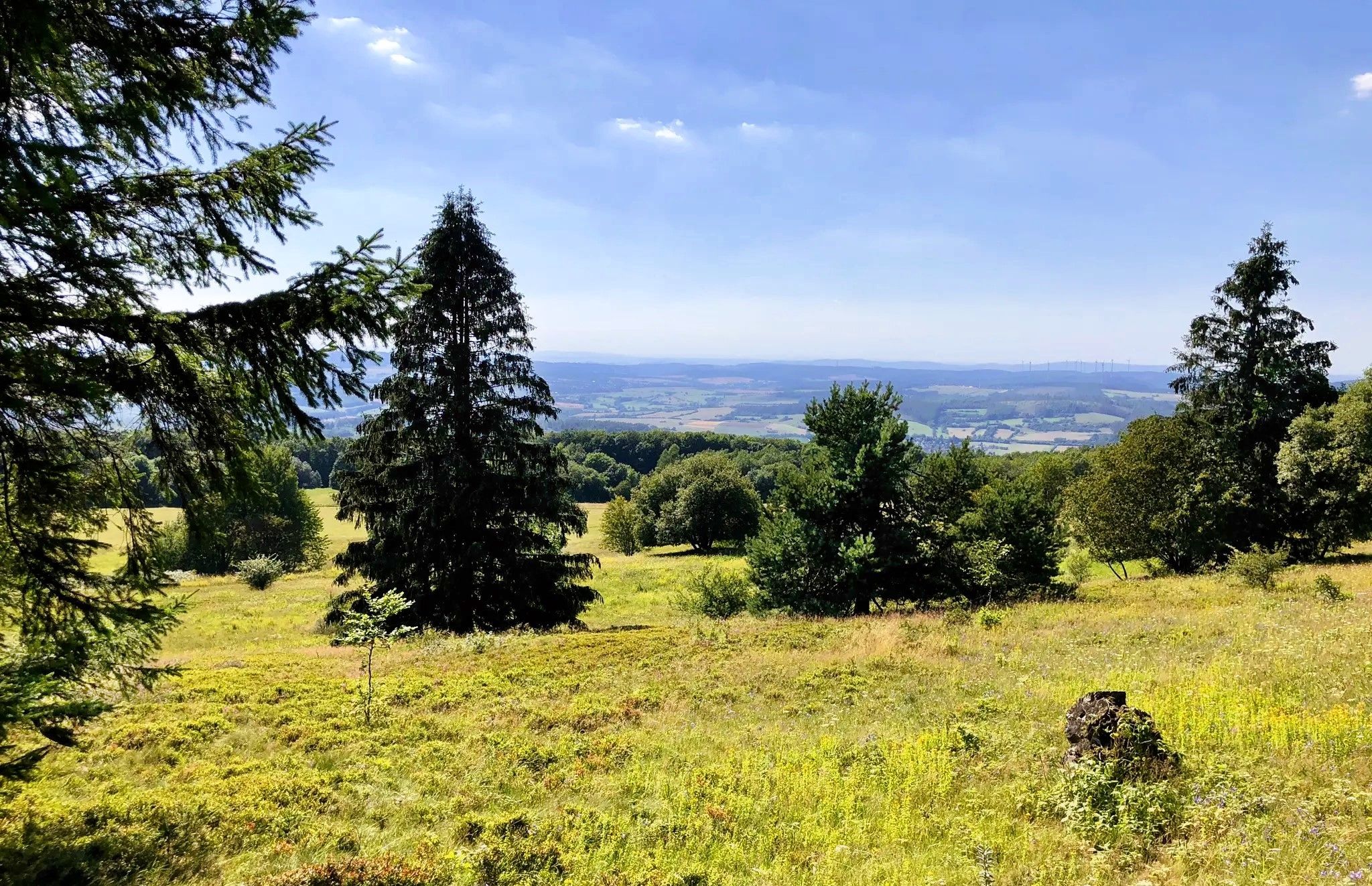
The fairytale GrimmSteig – Five-day hike in North Hesse
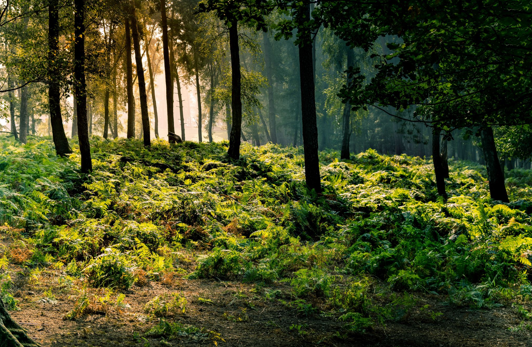
Frau Holle Trail – Nature and fairytales, eight stages
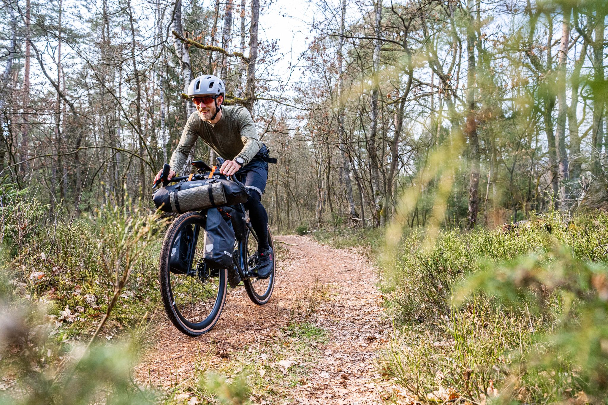
Gravel bikepacking from Hamburg to Munich
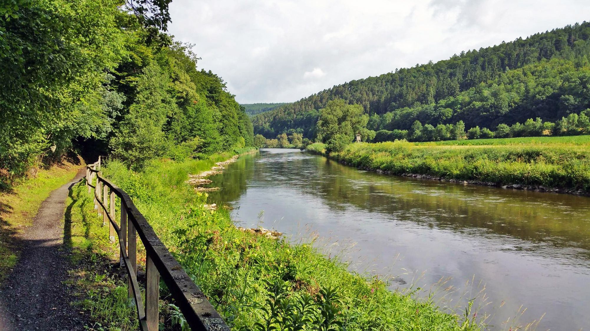
Werratal cycle path — 6 stages along the Werra to the Fulda

The National Natural Landscapes in Hessen
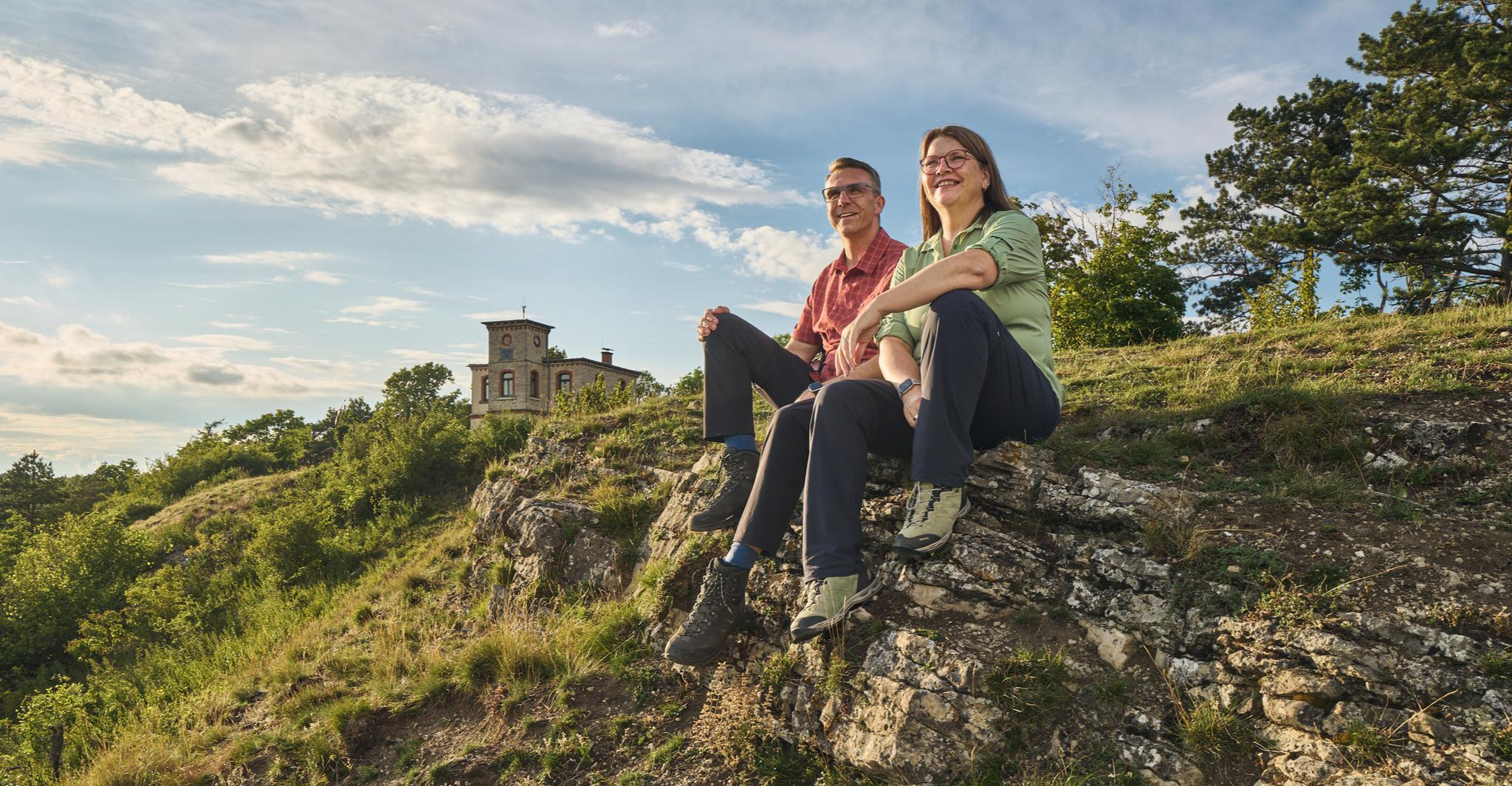
Autumn Hiking with a view – 7 WOW Tours between Wartburg and Hainich
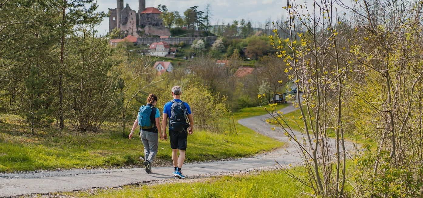
Rich history and magnificent landscapes – TOP hiking trails in Eichsfeld
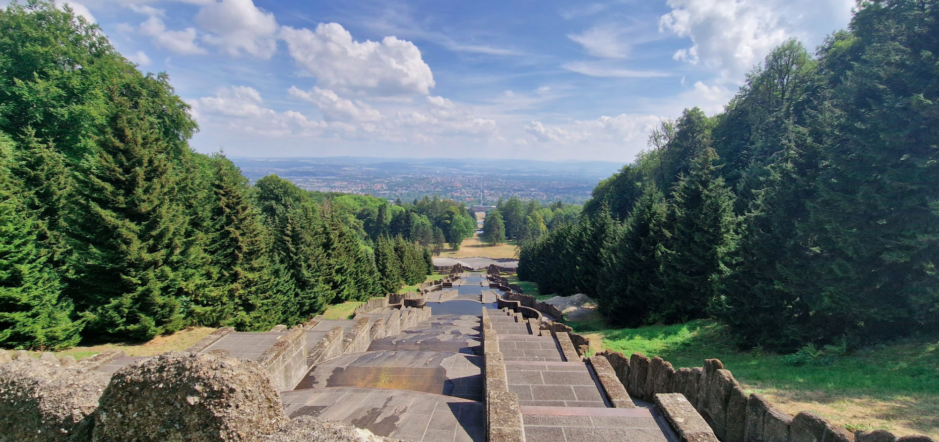
Travel to the Middle Ages on Germany’s Hercules-Wartburg cycle path

Wonderful Green Band
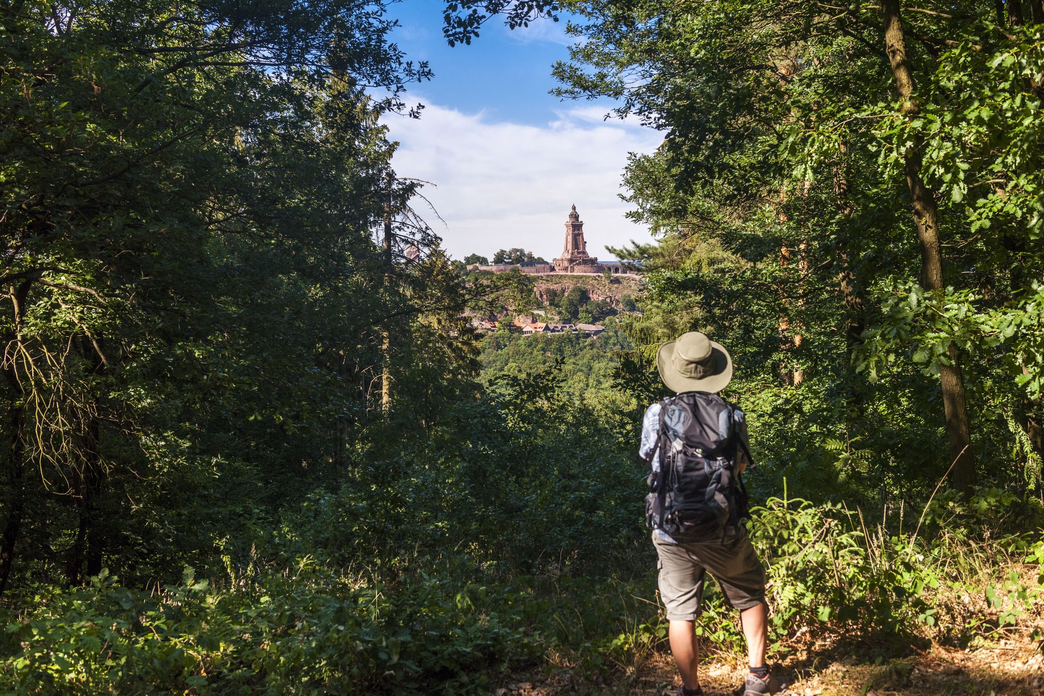
Hiking in Germany’s Kyffhäuser hills – 15 days on the Barbarossa Trail
Other adventures in Werra-Meißner-Kreis


Tips from the Community

Unspectacular but highest point of the mountain 😉
1
0

From the Kalbe summit, the path continues to a boulder field. From there, the panoramic view is even more extensive than from the surrounding vantage points. While there are no benches or shade, this spot is still ideal for a scenic break. I would have liked to mark this spot on the map, but Komoot prohibits it. For whatever reason.
4
0

In Carl-Christoph Schmieder's Frau Holle stories, Frau Holle transforms drunken young men into calves and then lets them graze on the "Kalbe" (calf). Before the open-cast lignite mining, there really was a large meadow there. The name "Kalbe" can be explained geologically: the mountain calves, meaning large boulders of basalt broke off from the plateau and piled up on the slope. Or quite simply: bare spot. The viewpoint at 720 m above sea level can only be reached on foot from the Frau Holle Pond via the Kalbe Trail or the Eulenstieg Trail. It is also located on the P1 Hoher Meißner premium trail. Source: https://www.naturparkfrauholle.land/frau-holle/sagen-mythen/sagenorte-der-frau-holle/kalbe
4
0

The name "Kalbe" can be explained geologically: the mountain calves, i.e. large basalt chunks break off from the plateau and pile up on the slope. Or quite simply: bare spot,
9
2
At 753 m above sea level, it is the highest elevation of the Hoher Meißner.
11
0

The Grosser Marstein, at 320 m above sea level, is located above Frankenhain. This is the main peak; the Kleiner Marstein is located about 300 m to the southeast as the crow flies. Both peaks are natural monuments and both offer beautiful vantage points.
2
1

Here at the summit cross there is also a summit book to sign 😊! Great!
1
0

Historical survey pillar from 1878: In the Kingdom of Prussia, between 1875 and 1895, under the leadership of the general and geodata scientist Oskar Schreiber (1829 - 1905), an exemplary main triangle network with a previously unknown high quality was set up. This was later expanded to the German main triangle network (DHDN), which for over 100 years formed the geodetic basis for the official property cadastre and for the topographical survey in Germany. The first main triangle point in Hesse was established in 1878 on the 750 m high Meissner. The marking was carried out with a +3.5 m high and three-tiered mighty monument made of red sandstone. A metal bolt on the top of the upper sandstone pillar marks the location center. The monument on the Meissner from 1878 is the largest surveying pillar in Hesse. It was entered into the monument register in 1985 because of its historical significance.
5
1
Frequently Asked Questions
What are the most popular mountain peaks and viewpoints in Werra-Meißner-Kreis?
The region offers several highly-rated peaks and viewpoints. Among the most popular are Bilstein Tower and Zum Bilstein Lodge, a destination for over 125 years with views as far as Göttingen. Other favorites include Great Marstein, a natural monument with panoramic views, and Rosskopf Tower, offering expansive views from the Meißner to the Hanstein.
Which peaks offer the best panoramic views in the region?
For breathtaking panoramic views, consider visiting the Hoher Meißner, especially from the View from the Kalbe summit, where you can see for miles towards Berkatal-Frankershausen. Hohestein (616m) is also renowned for its "Fantastic Weitblick" over the Werra Valley and surrounding ridges. Eisberg (583m) provides extensive views over the North Hessian mountain tops, including the Rhön and Ederbergland. The Pioneer Tower Mäuseberg also offers a great 360° panoramic view of the Geo-Naturpark Frau Holle-Land.
What unique natural features can I find on the mountain peaks of Werra-Meißner-Kreis?
The Hoher Meißner is particularly rich in unique natural features. It's famous for striking basalt formations like the "Kitzkammer," a rock wall of pentagonal and hexagonal basalt columns, and the "Seesteine" natural monument. The mountain is also a nature reserve with a rich biodiversity, including rare plants and wildlife. The Great Marstein is another notable natural monument, crowned by a dolomite rock.
Are there historical sites or cultural landmarks on or near these peaks?
Yes, several peaks have historical significance. The Hoher Meißner is deeply connected to the legend of Frau Holle from the Brothers Grimm fairy tales, with sites like the mystical Frau-Holle-Teich. The Boyneburg mountain features the historic Boyneburg castle ruins, offering a glimpse into the region's past. The Hirschberg in the Kaufunger Wald has a history of brown coal mining, with renaturation efforts now visible. You can also find a Historical survey pillar from 1878 on one of the summits.
What hiking opportunities are available around the mountain peaks?
The Werra-Meißner-Kreis is a hiking paradise. The Hoher Meißner offers numerous well-marked trails, including the 13 km Premium Hike P1 "Hoher Meißner." Hohestein is a popular hiking spot, though some trails require sturdy footwear. Eisberg is accessible via trails like the P10, and the Boyneburg features trails such as the "Knight's Path on the Schickeberg." For more hiking options, explore the Hiking in Werra-Meißner-Kreis guide, which includes routes like the 'Heldrastein Premium Trail P6'.
Are there family-friendly mountain peaks or trails in Werra-Meißner-Kreis?
Yes, several spots are suitable for families. The Bilstein Tower and Zum Bilstein Lodge is categorized as family-friendly, offering a destination with a mountain restaurant. The Great Marstein natural monument is also considered family-friendly. The Hoher Meißner has interactive trails like the "Klimapfad" that can be engaging for children.
What is the highest mountain in Werra-Meißner-Kreis?
The highest mountain in the Werra-Meißner-Kreis is the Hoher Meißner, with its highest point, the Kasseler Kuppe, reaching 753.6 meters above sea level. It is often referred to as the "King of the North Hessian Mountains."
When is the best time to visit the mountain peaks in Werra-Meißner-Kreis?
The best time depends on your interests. For vibrant natural beauty, visit from mid-June to mid-July when the colorful mountain meadows on the Hoher Meißner are in full bloom. For winter sports enthusiasts, the Hoher Meißner transforms into a popular destination with ski lifts and cross-country ski trails during the colder months. Spring and autumn offer pleasant temperatures for hiking and enjoying the changing foliage.
What other outdoor activities can I do near these mountain peaks?
Beyond hiking, the region offers various outdoor activities. You can find numerous road cycling routes, such as the 'Wendebach Reservoir loop from Witzenhausen Nord', detailed in the Road Cycling Routes in Werra-Meißner-Kreis guide. For runners, there are dedicated trails like the 'Metal Dock at Werratalsee loop from Grebendorf', which you can explore in the Running Trails in Werra-Meißner-Kreis guide. The Boyneburg area is also suitable for mountain biking.
What do visitors enjoy most about the mountain peaks in Werra-Meißner-Kreis?
Visitors frequently highlight the stunning panoramic views, the diverse natural landscapes, and the well-maintained hiking trails. Many appreciate the historical and legendary aspects, particularly around the Hoher Meißner and Boyneburg. The opportunity to enjoy a break at mountain restaurants like the one at Bilstein Tower and Zum Bilstein Lodge, combined with the scenic beauty, makes for a rewarding experience. The region's blend of nature, history, and outdoor activities is highly valued by the komoot community, with over 400 upvotes and 500 photos shared.
What is the significance of the Hoher Meißner in the region?
The Hoher Meißner is the most prominent and highest mountain in Werra-Meißner-Kreis, often called the "King of the North Hessian Mountains." It's a central feature of the Geo-Naturpark Frau-Holle-Land, deeply intertwined with the Frau Holle legend. Beyond its cultural significance, it's known for unique geological formations like basalt columns, a rich biodiversity as Hessen's third-largest nature reserve, and extensive hiking and winter sports opportunities.
Are there any places to eat or rest near the mountain peaks?
Yes, several peaks offer facilities for rest and refreshments. The Bilstein Tower and Zum Bilstein Lodge has a mountain restaurant serving small meals. The Kasseler Hut on the Hoher Meißner is another hut providing facilities. Additionally, the Great Marstein natural monument has a rest area, perfect for a break during your hike.
What is the highest point in the Kaufunger Wald?
The highest mountain in the Kaufunger Wald is the Hirschberg, reaching an elevation of 643.4 meters. It's known for its history of brown coal mining and subsequent renaturation efforts, offering circular hikes through its mixed forests.
Most popular routes in Werra-Meißner-Kreis
Most popular attractions in Werra-Meißner-Kreis

Get inspired with the komoot mobile app


Didn’t find what you were looking for?
Discover Werra-Meißner-Kreis’s best peaks and summits by region:
Explore more
See even more amazing summits in Werra-Meißner-Kreis with these guides:
