The best gravel rides around Bassin du Lampy Neuf
15
riders
4
rides
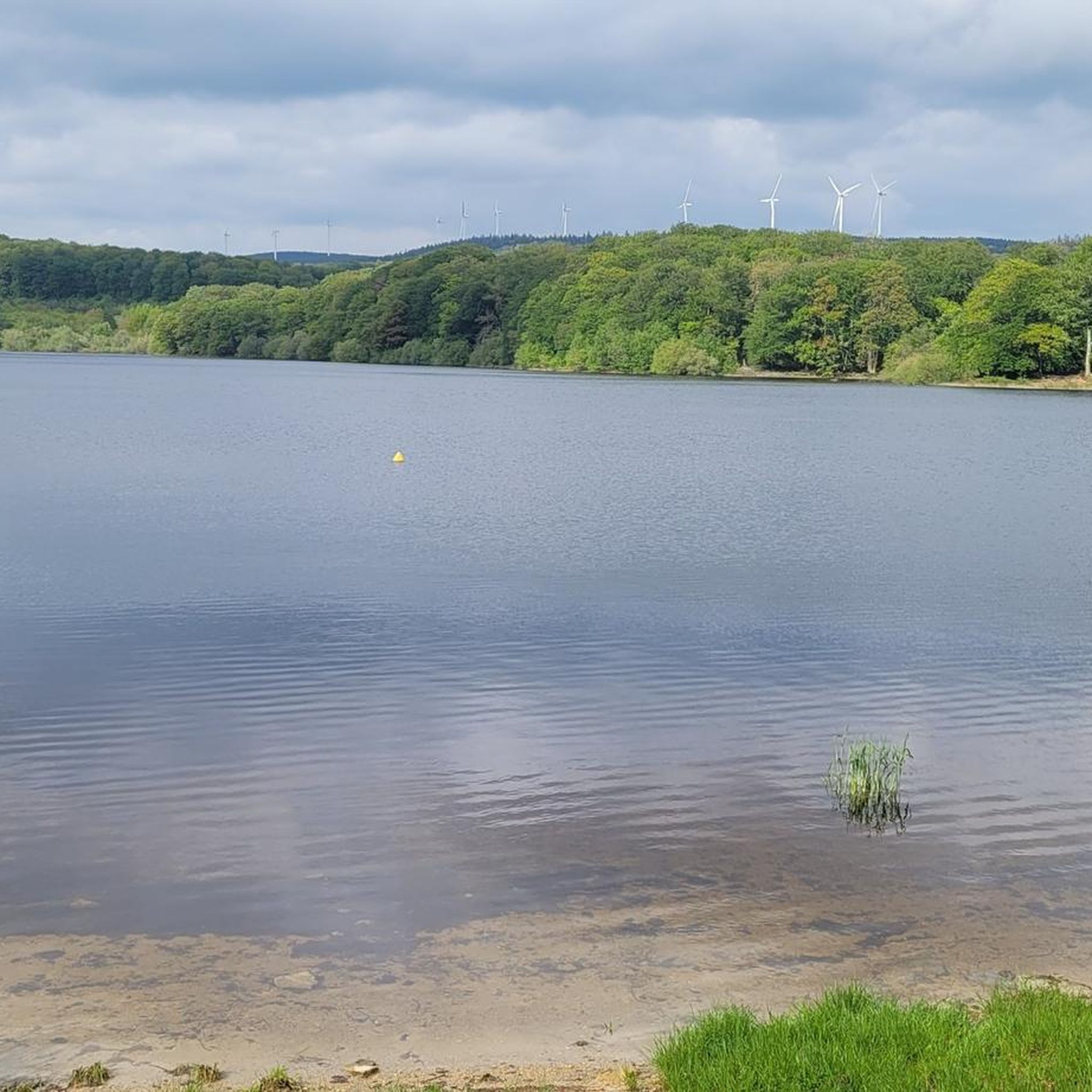
Gravel biking around Bassin du Lampy Neuf offers diverse landscapes within the Montagne Noire region of France. The area features extensive forested paths, including beech and oak, providing varied terrain for cyclists. Routes range from relatively flat sections along the historic Rigole de la Montagne Noire to more challenging paths with significant elevation changes within the surrounding hills. The Bassin du Lampy Neuf itself is a central feature, with its reservoir and the broader Lampy Valley recognized for its rich…
Last updated: July 10, 2026
3
riders
28.8km
02:00
430m
430m
Moderate gravel ride. Good fitness required. Mostly paved surfaces. Suitable for all skill levels.
3
riders
40.8km
02:34
760m
760m
Hard gravel ride. Very good fitness required. Mostly paved surfaces. Suitable for all skill levels.

Sign up for free
8
riders
32.8km
02:03
360m
360m
Hard gravel ride. Good fitness required. You may need to push your bike for some segments of this route.
1
riders
28.3km
01:56
430m
430m
Moderate gravel ride. Good fitness required. Mostly paved surfaces. Suitable for all skill levels.
Our route recommendations are based on thousands of hikes, rides, and runs completed by other people on komoot.
Start today with a free account
Your next adventure awaits.
Login or Signup
Tips from the Community

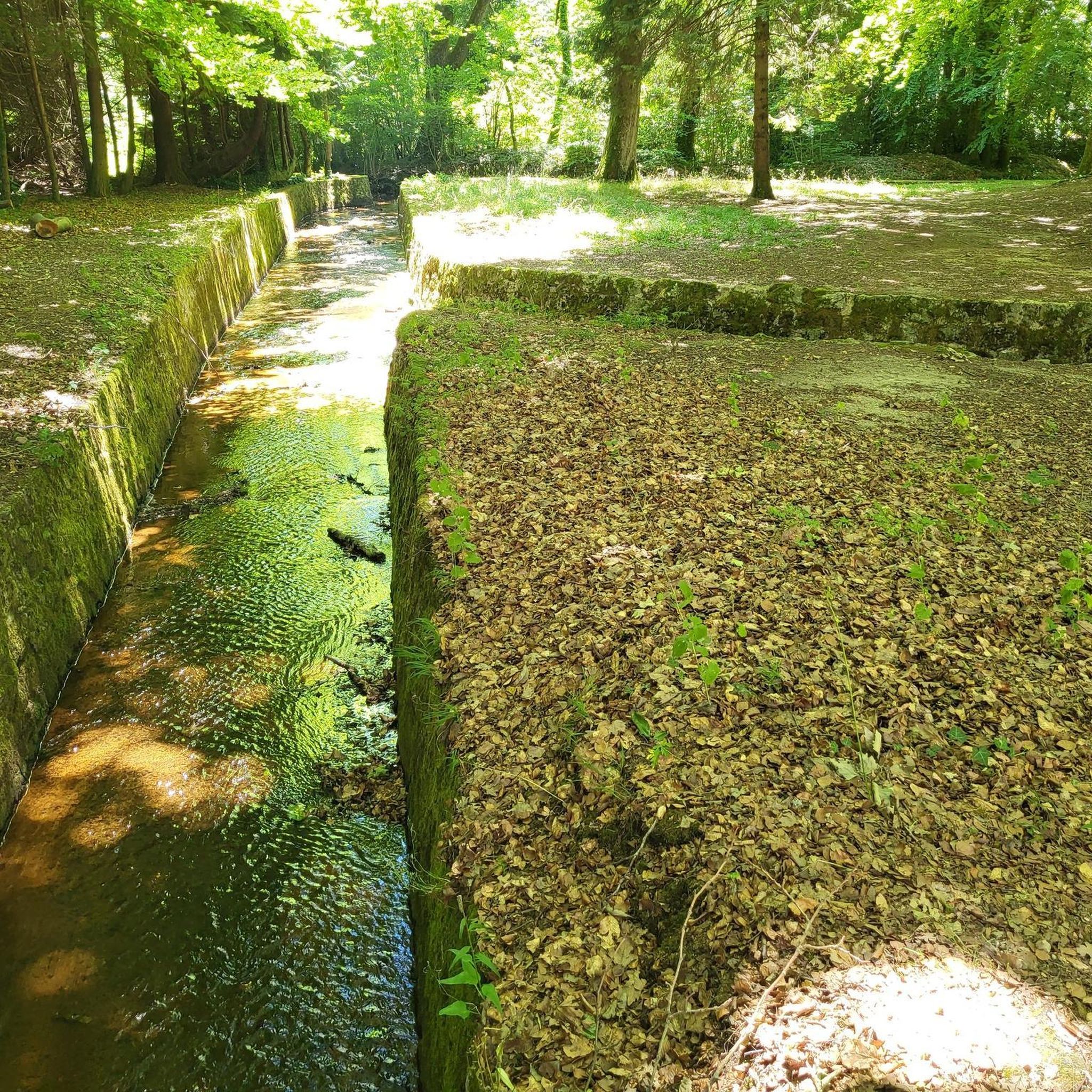
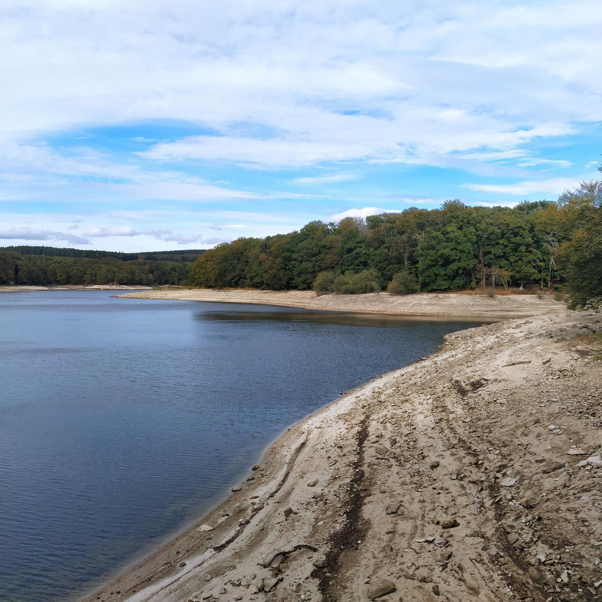
The Alzeau dam (or d'Alzau[1]), located in the commune of Arfons, in the Tarn[2], is the starting point of the rigole de la Montagne, which then feeds the Canal du Midi. It is located on the border with the Aude department, and is accessible via the commune of Lacombe. (Wikipedia)
0
0
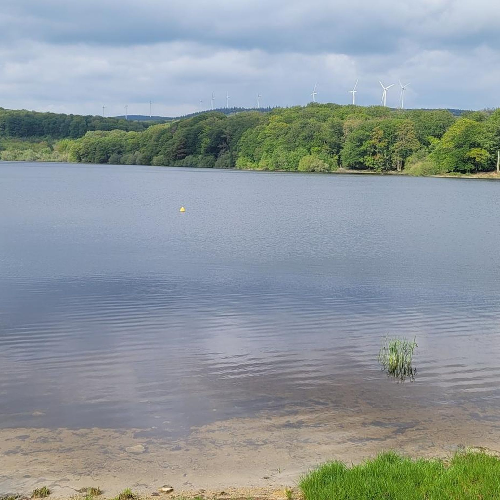
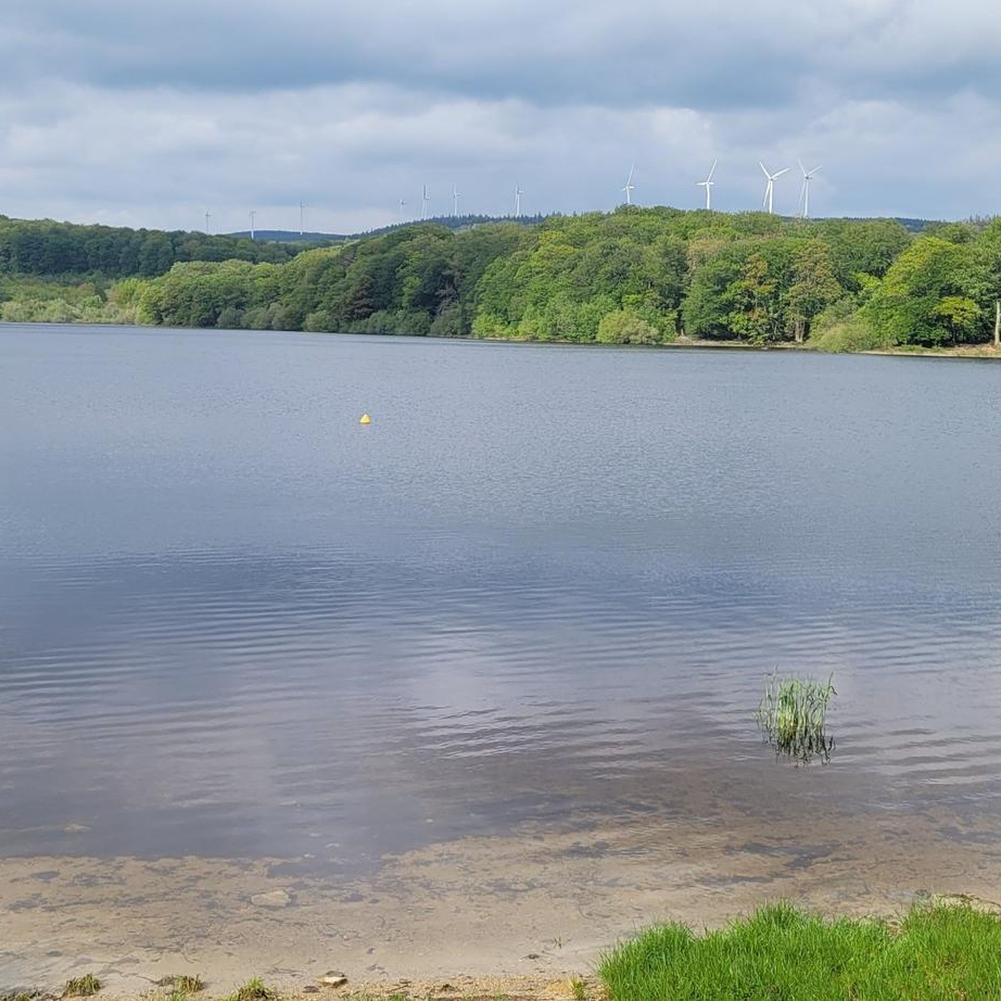
The Cammazes Dam is located in the Montagne Noire massif in the Tarn department. It provides a drinking water reserve for the municipalities around Revel. Built between 1954 and 1957 and commissioned in 1958, the Cammazes Dam is located on the Sor River, between the municipalities of Cammazes and Sorèze in the Tarn department, and the municipality of Saissac in the Aude department. It forms Lake Cammazes, which also receives excess water from the mountain channel via the Conquet spillway. The structure is intended for drinking water supply and irrigation. It supplies 200 municipalities, representing over 170,000 inhabitants. The surface area of the body of water is approximately 90 hectares. Its reservoir volume is 18.8 million cubic meters; the watershed area is 30 km². The operator is the Montagne Noire Water Institution. The water is piped to the Picotalen treatment plant. It also serves as a reserve for the Canal du Midi via a water intake feeding the mountain channel (water rights of 4 million cubic meters) (Wikipedia)
0
0

Very beautiful pass, not very difficult but very shaded for the great summer heat.
1
0


8.5 km, 2 hours of pleasant, shaded hiking
0
0

A place full of history! A stop is a must.
2
0
Frequently Asked Questions
What kind of terrain can I expect on gravel bike trails around Bassin du Lampy Neuf?
The region offers a diverse mix of terrain. You'll find extensive forested paths, including beech and oak forests, providing shade and varied surfaces. The historic Rigole de la Montagne Noire offers relatively flat and smooth sections, while the surrounding Montagne Noire features more challenging routes with significant elevation changes and unpaved segments, ideal for gravel bikes.
Are there gravel routes suitable for beginners or those looking for an easier ride?
While the guide features several moderate to difficult routes, the paths along the Rigole de la Montagne Noire are generally smoother and flatter, making them suitable for a more relaxed gravel ride. For a moderate challenge, consider the Lac de la Galaube – Fontbruno Pass (880 m) loop from Arfons or the Lampy – Lampy Basin loop from En Dardé.
What historical sites or natural attractions can I see along the gravel bike trails?
The area is rich in attractions. You can explore sections of the Rigole de la Montagne Noire, a UNESCO World Heritage site and crucial feeder system for the Canal du Midi. Other points of interest include the Vauban Vault at Les Cammazes, the Arboretum at Domaine du Lampy Neuf with its remarkable trees and 'Fables de la Fontaine' trail, and remnants of old watermills along the Lampy river.
When is the best time of year for gravel biking around Bassin du Lampy Neuf?
The region is enjoyable throughout much of the year. During warmer months, the extensive forested paths, particularly those with beech and oak trees, provide welcome shade. The coolness of the undergrowth along these paths is especially appreciated in summer. Spring and autumn offer pleasant temperatures and vibrant scenery.
Are there circular gravel bike routes available?
Yes, many of the gravel routes in the area are designed as loops. For instance, the Lac de la Galaube – Fontbruno Pass (880 m) loop from Arfons and the Lampy – Alzeau Water Intake loop from Lacombe are popular circular options, allowing you to start and finish in the same location.
Can I swim in Bassin du Lampy Neuf?
Yes, the Bassin du Lampy Neuf reservoir is a central feature that offers opportunities for water-based activities. Swimming is permitted and lifeguards are present during the summer months. You can find more information on local tourism sites like tourisme-montagnenoire.com.
Are there any challenging gravel bike routes for experienced riders?
Absolutely. The Montagne Noire offers routes with significant elevation changes for those seeking a greater adventure. The Col de Dourgne via Sorèze – Saint-Martin Church of Sorèze loop from Arfons is a difficult 25.4-mile (40.8 km) path with substantial climbing, exploring historical sites along the way. Another challenging option is the Alzeau Water Intake – Lampy loop from Lacombe.
Is there parking available near the gravel bike trails?
While specific parking areas are not detailed in the route descriptions, the villages and popular starting points like Arfons and Lacombe typically offer parking facilities for visitors accessing the trails. It's advisable to check local signage upon arrival.
Are the gravel bike trails around Bassin du Lampy Neuf family-friendly?
The region offers a range of difficulties. While some routes are challenging, the flatter sections along the Rigole de la Montagne Noire are generally more accessible and could be suitable for families, depending on their experience level. The Arboretum at Domaine du Lampy Neuf also features a 'Fables de la Fontaine' trail which might appeal to families.
What makes Bassin du Lampy Neuf a good destination for gravel biking?
Bassin du Lampy Neuf is considered a 'paradise for all hiking practices,' including gravel biking, due to its diverse landscapes within the Montagne Noire. It combines the historical significance and relatively flat paths of the Rigole de la Montagne Noire with the varied terrain and challenging climbs of the surrounding forests. The extensive network of paths and scenic beauty make it highly appealing to gravel enthusiasts.
How many gravel bike trails are featured in this guide for Bassin du Lampy Neuf?
This guide features several highly-rated gravel bike trails around Bassin du Lampy Neuf, offering a range of distances and difficulties to suit different preferences.
Most popular routes around Bassin du Lampy Neuf

Get inspired with the komoot mobile app


Explore more
Browse the best Gravel rides in other regions.
