The best road cycling routes around Katsdorf
4.4
(61)
1,594
riders
32
rides
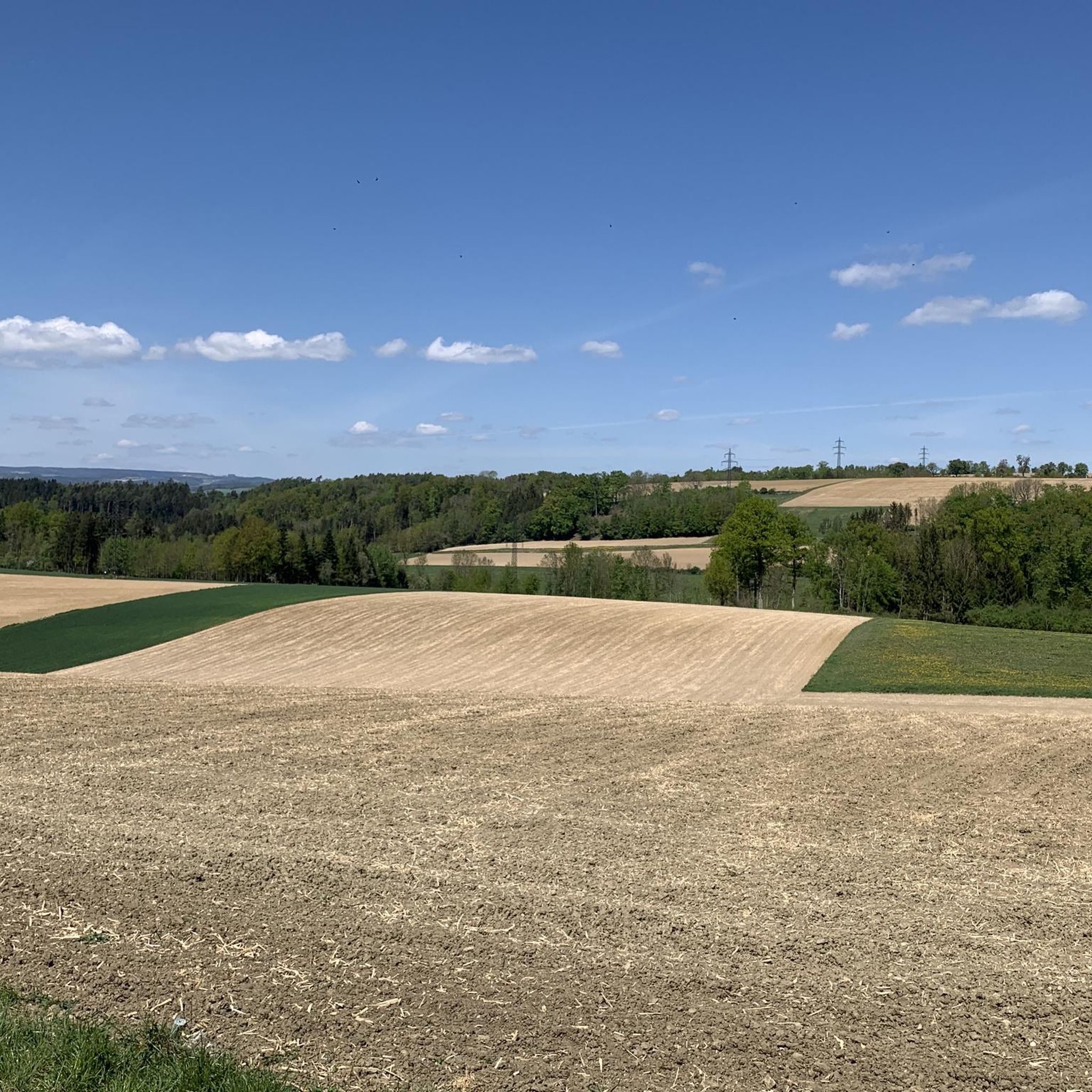
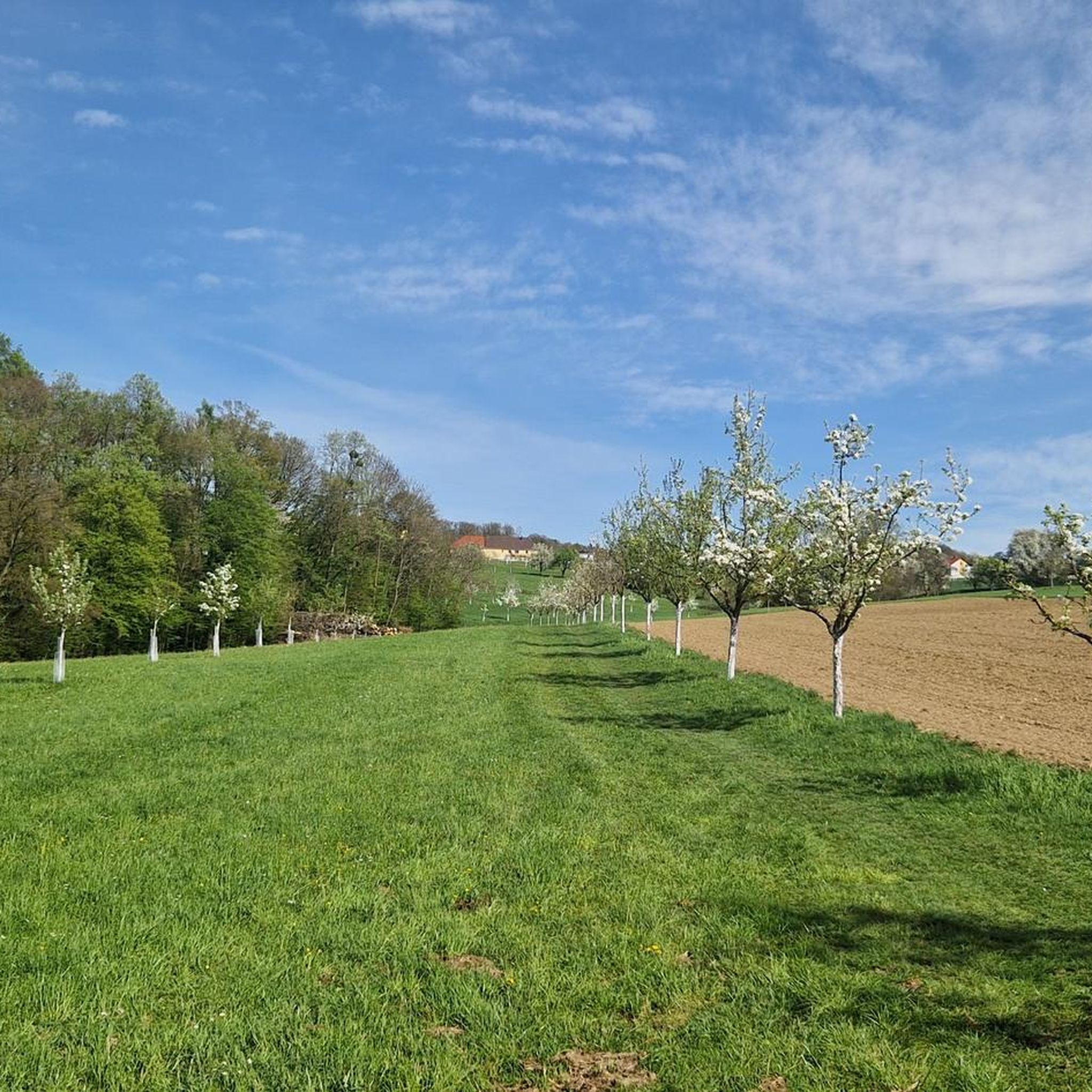
Road cycling around Katsdorf, situated in the Mühlviertel region of Upper Austria, offers diverse landscapes for cyclists. The area features rolling hills, extensive farmland, and forested sections, creating varied terrain. Its undulating topography provides panoramic views from elevated points, while proximity to the Danube Cycle Path offers routes along the river. This mix of natural features supports a range of cycling experiences.
Best road cycling routes around Katsdorf
- The most popular road cycling route is Lower Gusental – railway bridge…
Last updated: July 8, 2026
4.5
(50)
1,032
riders
47.5km
01:58
280m
280m
Easy road ride. Great for any fitness level. Mostly well-paved surfaces and easy to ride.
4.7
(3)
77
riders
108km
04:47
690m
690m
Moderate road ride. Good fitness required. Mostly well-paved surfaces and easy to ride.

Sign up for free
57
riders
94.6km
04:43
1,290m
1,290m
Hard road ride. Very good fitness required. Mostly well-paved surfaces and easy to ride.
4.0
(1)
26
riders
184km
07:49
1,300m
1,300m
Hard road ride. Very good fitness required. Mostly well-paved surfaces and easy to ride.
5.0
(1)
38
riders
25.3km
01:30
160m
160m
Easy road ride. Great for any fitness level. Mostly well-paved surfaces and easy to ride.
Get access to more routes and recommendations from other explorers.
Sign up for free
Already have an account?
Our route recommendations are based on thousands of hikes, rides, and runs completed by other people on komoot.
Start today with a free account
Your next adventure awaits.
Login or Signup


Tips from the Community

The Austrian Danube Cycle Path (Donauradweg) is practically the „gold standard“ of cycle path infrastructure in Europe. As it is part of the European EuroVelo Route 6, the signage is extremely well-developed, but at first glance, it can appear a bit complex due to the different logos. At bridges or power plants, there are special signs („Donauquerung“) that show you how to get to the other side, if the route is more beautiful or shorter there.
1
0
Aschach an der Donau is one of those places that you visit and immediately feel like you are in a postcard. It is one of the oldest and most charming market towns in Upper Austria (Eferding district) and is located directly on the great Danube loop. For centuries, Aschach was an important hub for shipping and trade. This is still reflected in the townscape today. The row of houses directly on the Danube promenade largely dates from the 16th century (Renaissance and Baroque). The facades are magnificently restored and a popular photo motif.
0
0

Refill water bottles again before going home!!!!!
1
0

A lovely spot for a break when the weather is nice.
5
0

Ottensheim-Wilhering Power Plant and Lock! This impressive facility on the Danube plays an important role in energy generation and shipping. Here are some interesting aspects: ### General Information - **Location**: The power plant and lock are located in the municipality of **Wilhering** in **Upper Austria**. - **Year of Construction**: The power plant was built from **1970 to 1975** and is a run-of-river power plant. ### Technical Features 1. **Lock**: - The lock has **two lock chambers** measuring **230 × 24 m**. - It allows ships to pass through and overcomes the height difference in the river. 2. **Power Plant**: - The power plant has an **capacity** of approximately **30 MW** and uses the current of the Danube to generate electricity. - It is part of a project with **72 million euros** being invested to ensure the lifespan and efficiency of the power plant for another **50 years**. 3. **Water level**: - The river dam length is **16 km**, and the dam target is at an altitude of approximately **250 m**. ### Significance - **Energy generation**: The power plant contributes significantly to the region's electricity supply and is an important component of renewable energy sources in Austria. - **Shipping**: The lock is a central point for inland navigation on the Danube, enabling the transport of goods and passengers. ### Summary The **Ottensheim-Wilhering power plant and lock** are not only technical masterpieces, but also crucial elements for the energy supply and shipping in the region. A visit to this facility offers exciting insights into the world of hydropower and engineering! ✨
2
0

Great rest area with swimming and refreshment options on hot days on the Danube Cycle Path.
3
0
Many cafes and restaurants along the Danube, perfect for a break on your bike tour.
1
0

Frequently Asked Questions
What kind of terrain can I expect on road cycling routes around Katsdorf?
Road cycling around Katsdorf offers diverse terrain, characterized by rolling hills, extensive farmland, and forested sections. The region's undulating topography provides panoramic views from elevated points. You'll find a mix of easy, mostly paved paths and more challenging rides with significant elevation gains, catering to various skill levels.
How many road cycling routes are available in Katsdorf?
There are over 30 road cycling routes available around Katsdorf, offering a wide range of distances and difficulty levels. This includes 3 easy routes, 14 moderate routes, and 15 difficult routes, ensuring options for every cyclist.
Are there any easy road cycling routes suitable for beginners in Katsdorf?
Yes, Katsdorf offers several easy road cycling routes perfect for beginners. An example is the Lower Gusental – railway bridge loop from Katsdorf, an easy 29.4-mile (47.4 km) trail that follows the Gusental valley, offering pleasant views of the agricultural landscape.
What are some challenging road cycling routes for experienced riders?
For experienced riders seeking a challenge, routes like the Alte Linzer Straße – In the Rodl Valley loop from Katsdorf offer significant elevation gains over its 94.5-mile (94.6 km) distance. Another demanding option is the Aschach on the Danube – Enns–Mauthausen Bicycle Ferry loop from Katsdorf, which covers nearly 170 km with substantial climbing.
What is the best time of year for road cycling in Katsdorf?
The best seasons for road cycling in Katsdorf are spring and autumn. During these times, the weather is mild, and the natural scenery is at its most vibrant, making for ideal riding conditions. While some routes may be accessible in winter, spring and autumn offer the most pleasant experience.
Are there any circular road cycling routes around Katsdorf?
Many of the road cycling routes around Katsdorf are designed as loops, allowing you to start and end in the same location. Examples include the Lower Gusental – railway bridge loop from Katsdorf and the Lower Gusental – View of Scharten loop from Katsdorf, which provide varied terrain and panoramic views.
What natural features or landmarks can I see along the road cycling routes?
Road cycling routes around Katsdorf often feature scenic views of the Mühlviertel landscape, including farmland and forested sections. You can also find routes that run along the Danube River, offering views of the valley and its infrastructure. Notable natural attractions include the Pfenningberg Summit Cross, which offers beautiful views over Linz on a clear day, and the Mouth of the Traun-Danube.
Are there any castles or historical sites accessible by road bike?
Yes, the region around Katsdorf features several historical sites and castles. For instance, Riedegg Castle is a picturesque landmark that can serve as a starting point for tours through the scenic Mühlviertel. Other castles in the vicinity include Reichenstein Castle and Pragstein Castle.
What do other cyclists say about road cycling in Katsdorf?
The road cycling routes in Katsdorf are highly rated by the komoot community, with an average score of 4.5 stars from over 40 reviews. Cyclists often praise the varied terrain, from rolling hills to scenic river sections, and the panoramic views available from elevated points.
Can I access the Danube Cycle Path from Katsdorf?
Yes, Katsdorf's proximity to the Danube Cycle Path is a significant draw for cyclists. You can easily access sections of this well-known route, which offers breathtaking views along the Danube River. Some routes, like the Lower Gusental – Abwinden-Asten Danube Power Plant loop from Katsdorf, feature sections directly along the Danube.
Are there options for refreshments or breaks along the routes?
While specific cafes or pubs are not detailed for every route, the Danube Cycle Path, which is accessible from Katsdorf, is known for having many rest stops along its length. Additionally, larger centers like PlusCity, though primarily for shopping, offer amenities and are accessible from some cycling routes.
Most popular routes around Katsdorf
Most popular attractions around Katsdorf

Get inspired with the komoot mobile app


Explore more
Browse the best Road cycling routes in other regions.
