The best walks and hikes in the Hazelton Mountains
4.6
(21)
188
hikers
18
hikes
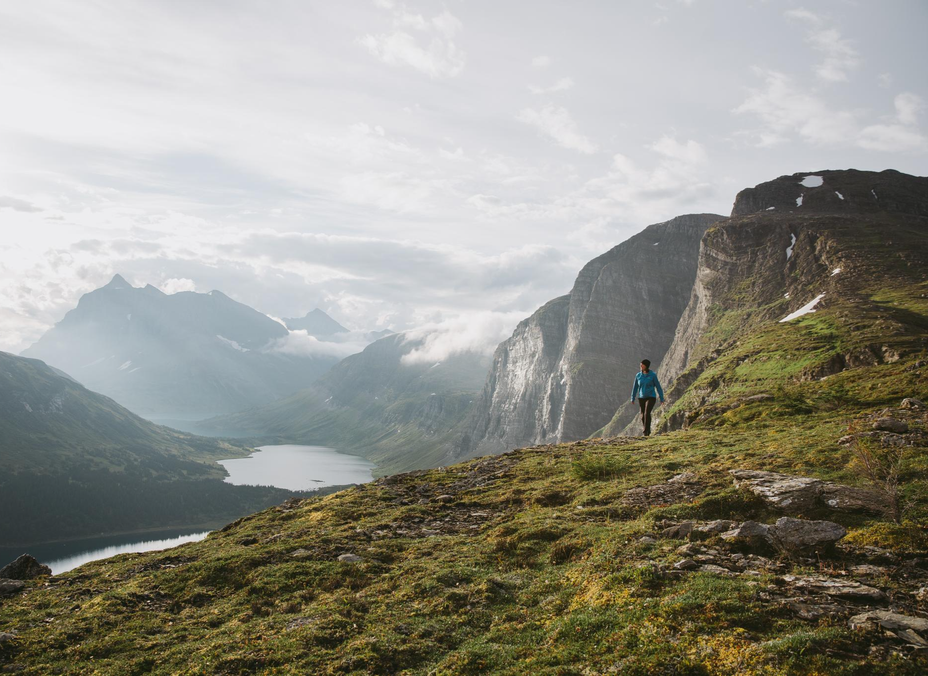
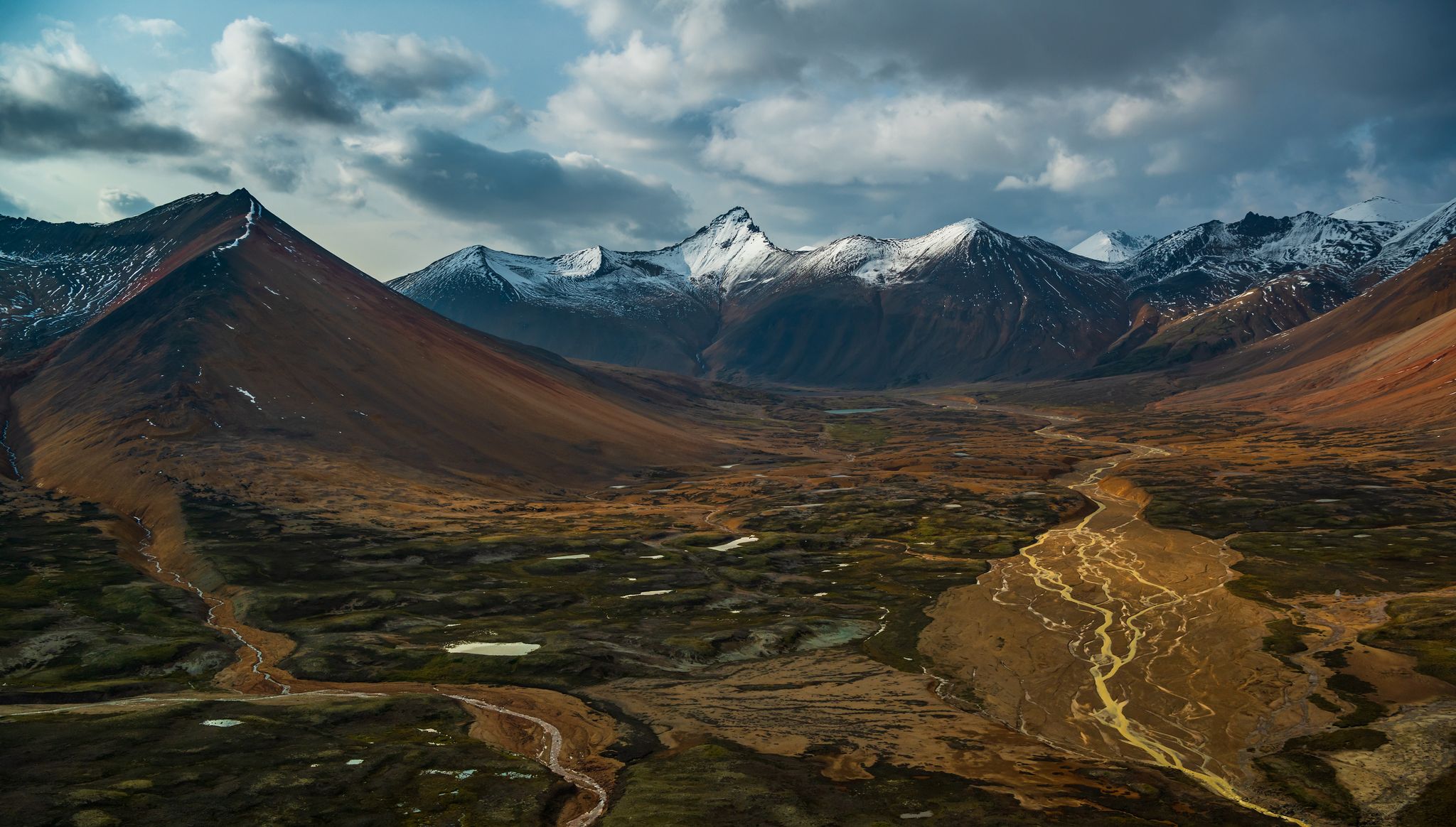
Hiking in the Hazelton Mountains offers access to a rugged landscape characterized by towering peaks, deep river valleys, and diverse geological formations within the Roche de Boule Mountain Range. The region features major subranges like the Kispiox, Nass, and Bulkley, with elevations reaching over 2,000 meters. Hikers encounter glacial cirques, volcanic features, and a network of rivers including the Bulkley and Skeena. This terrain provides varied opportunities for outdoor exploration.
Best hiking trails in the Hazelton Mountains
- The most popular hiking route is Blue Lakes Trail — New Hazelton, a 10.4 miles (16.7 km) trail that takes 5 hours 45 minutes to complete. This challenging path features significant elevation gain and leads to alpine lakes.
- Another top favourite among local hikers is Twin Falls Trail and Glacier Gulch Trail, a moderate 2.6 miles (4.3 km) path. This route offers views of waterfalls and glacial features.
- Local hikers also love the Whiskey Creek Trail, a 4.5 miles (7.3 km) trail leading through varied forest and creek crossings, often completed in about 2 hours 15 minutes.
- Hiking in the Hazelton Mountains is defined by rugged peaks, river valleys, and diverse geological features. The network offers options for different ability levels, from easy walks to challenging multi-day treks.
- The routes in Hazelton Mountains are highly rated by the komoot community with an average score of 4.5 stars from more than 15 reviews. More than 100 hikers have used komoot to explore Hazelton Mountains's varied terrain.
Last updated: October 16, 2026
5.0
(5)
61
hikers
5.85km
01:57
300m
300m
Moderate hike. Good fitness required. Easily-accessible paths. Suitable for all skill levels.
5.0
(2)
29
hikers
3.71km
00:58
30m
30m
Easy hike. Great for any fitness level. Easily-accessible paths. Suitable for all skill levels.

2
hikers
4.25km
02:21
610m
610m
Moderate hike. Good fitness required. Easily-accessible paths. Suitable for all skill levels.
3.0
(1)
11
hikers
16.7km
05:45
940m
940m
Hard hike. Very good fitness required. Easily-accessible paths. Suitable for all skill levels.
5.0
(1)
2
hikers
7.25km
02:13
260m
260m
Moderate hike. Good fitness required. Easily-accessible paths. Suitable for all skill levels.
3
hikers
6.25km
02:00
270m
270m
Moderate hike. Good fitness required. Easily-accessible paths. Suitable for all skill levels.
11.4km
03:41
500m
500m
Moderate hike. Good fitness required. Easily-accessible paths. Suitable for all skill levels.
1
hikers
12.1km
04:15
680m
680m
Moderate hike. Good fitness required. Easily-accessible paths. Suitable for all skill levels.
1.46km
00:24
20m
20m
Easy hike. Great for any fitness level. Easily-accessible paths. Suitable for all skill levels.
13.5km
03:32
100m
100m
Moderate hike. Good fitness required. Easily-accessible paths. Suitable for all skill levels.
Get access to more routes and recommendations from other explorers.
Already have an account?
Our route recommendations are based on thousands of hikes, rides, and runs completed by other people on komoot.
Start today with a free account
Your next adventure awaits.


Tips from the Community

Beautiful trail on an island that has a very nice campground too.
0
0

This is a great spot where the trail opens up to a sweeping vista over the Lakelse Lake valley. It’s considered one of the best lookouts in the area, reachable after navigating the longest, hilly stretch of the trail. It’s the perfect place to catch your breath and soak in the scenery before continuing on your journey.
0
0
Moose Highway is the longest trail in the Onion Lake network, stretching 13 kilometres through hilly terrain. It’s a favourite among locals for its views, with the western stretches offering some of the best lookouts in the whole trail system. Along the way, it passes the Moose Hut, a rustic cabin used by club members for overnight stays during the winter season.
0
0
Onion Lake Ski Trails Stadium Recreation Site sits about halfway between Kitimat and Terrace, just off Highway 37 on a plateau south of Lakelse Lake. Managed by the volunteer-based Snow Valley Nordic Ski Club, it includes more than 32 kilometres of maintained cross-country ski trails and a dedicated dog-friendly loop. In the summer months, the same trails open up to hikers, mountain bikers, and horseback riders, where you can explore the rolling hills and, on the longer routes, enjoy beautiful views over the Lakelse Lake valley.
0
0

One of British Columbia's great salmon rivers, the Skeena flows more than 570 kilometres from the Coast Mountains to the Pacific Ocean. From Ferry Island, the broad river channel provides a sense of the scale of this watershed, which supports some of the largest wild salmon runs in North America. Watch for eagles, ravens, and other wildlife that depend on the river throughout the year.
0
0
This easy trail winds through mature cottonwood forest and riverside habitat at the heart of Ferry Island. The mostly level route passes beneath a canopy of large trees while offering occasional glimpses of the Skeena River through the vegetation. Interpretive signs along parts of the trail help explain the island's ecology and its connection to the river system.
0
0
Located between channels of the Skeena River, Ferry Island Park protects a mix of cottonwood forest, wetlands, and riverside habitat just minutes from downtown Terrace. More than ten kilometres of easy trails crisscross the island, providing opportunities for wildlife watching, birding, and seasonal salmon viewing. The flat terrain and peaceful setting make it one of the most accessible natural areas in the region.
0
0

Robinson Lake Trail is a steady climb to Robinson Lake through thick forest and over wetlands and streams. In warmer months, the trail can get buggy, so bring bug spray along and good shoes and trekking poles for muddy spots after rain.
0
0
Frequently Asked Questions
How many hiking trails are available in the Hazelton Mountains?
The Hazelton Mountains offer over a dozen distinct hiking trails, catering to various skill levels. You'll find a mix of easy, moderate, and challenging routes to explore the region's diverse landscapes.
What types of hiking trails can I find in the Hazelton Mountains?
The region provides a wide range of hiking experiences. You can find easy walks, such as the Call Lake loop, moderate trails like the Whiskey Creek Trail, and more challenging treks like the Blue Lakes Trail, which features significant elevation gain.
Are there family-friendly hiking options in the Hazelton Mountains?
Yes, several trails are suitable for families. The Watson Lakes Trail in Seven Sisters Provincial Park is an easy 3 km walk passing three small lakes. The Seymour Lake Trail, part of the Bluff Recreation Site, also offers a family-friendly loop through thick woods.
Can I hike with my dog in the Hazelton Mountains?
Many trails in the Hazelton Mountains are dog-friendly, but it's always best to check specific park regulations or trail signage before you go. Ensure your dog is on a leash and you pack out all waste to protect the local wildlife and environment.
Are there any trails that feature waterfalls or unique geological formations?
Absolutely. The Twin Falls Trail and Glacier Gulch Trail offers views of impressive waterfalls and glacial features. Additionally, Nisga'a Memorial Lava Bed Provincial Park showcases unique volcanic landscapes, including lava features like tree casts and lava tubes.
What are some notable landmarks or viewpoints to see while hiking?
Hikers can enjoy spectacular views of the Bulkley Valley from the Bluff Recreation Site trails. The New Hazelton Waterfall and Lookout Trail provides views of New Hazelton and the surrounding mountain ranges. The Hagwilget Canyon Bridge, a historic suspension bridge over the Bulkley River, is also a popular scenic attraction.
Are there any circular hiking routes in the Hazelton Mountains?
Yes, there are several circular routes available. For example, the Broken Axe Loop is a moderate 11.4 km trail. The Twin Falls loop from Twin Falls Recreation Site is another easy option.
What is the best time of year to go hiking in the Hazelton Mountains?
The best time for hiking in the Hazelton Mountains is typically from late spring through early autumn (May to October) when trails are clear of snow and weather conditions are most favorable. Some higher elevation trails may remain snow-covered into early summer.
Do I need a permit to hike in the Hazelton Mountains?
Generally, permits are not required for day hiking on most trails in the Hazelton Mountains. However, for specific provincial parks or overnight backpacking trips, it's advisable to check with BC Parks or local tourism offices for any current regulations or backcountry permit requirements.
Where can I find parking for hiking trails in the Hazelton Mountains?
Many popular trailheads, especially those within provincial parks or near communities like New Hazelton, Smithers, and Terrace, offer designated parking areas. It's recommended to check specific trail information or local tourism resources for details on parking availability and any potential fees.
What do other hikers enjoy the most about hiking in the Hazelton Mountains?
The area is highly rated by the komoot community, with an average score of 4.5 stars from over 15 reviews. Reviewers often praise the rugged peaks, deep river valleys, and diverse geological features that define the hiking experience, along with the variety of trails for all abilities.
Are there opportunities to see wildlife while hiking?
The Hazelton Mountains are rich in wildlife. Hikers often have the chance to spot various animals, including deer, bears, and a wide array of bird species. The Bulkley and Skeena Rivers are also known for salmon and steelhead trout, making the region a significant habitat for aquatic life.
Most popular routes in the Hazelton Mountains
Most popular attractions in the Hazelton Mountains

Get inspired with the komoot mobile app


Explore more
Browse the best Hikes in other regions.
