The best road cycling routes around Padre Ranchitos
5.0
(5)
23
riders
4
rides
Road cycling around Padre Ranchitos features routes that traverse urban areas, dedicated bikeways, and scenic parklands. The terrain is generally flat, with minimal elevation changes, making it suitable for various skill levels. Routes often follow linear paths alongside canals or explore downtown districts. The region offers accessible cycling experiences through developed areas and natural riverfront settings.
Best road cycling routes around Padre Ranchitos
- The most popular road cycling route is Palo Verde Bikeway to Downtown Yuma loop, a 31.3…
Last updated: July 7, 2026
5
riders
50.5km
02:00
70m
70m
Easy road ride. Great for any fitness level. Mostly well-paved surfaces and easy to ride.
7
riders
24.2km
01:15
110m
110m
Easy road ride. Great for any fitness level. Mostly well-paved surfaces and easy to ride.

Sign up for free
5.0
(2)
5
riders
19.4km
00:56
60m
60m
Easy road ride. Great for any fitness level. Mostly well-paved surfaces and easy to ride.
5.0
(3)
6
riders
19.0km
00:52
50m
50m
Easy road ride. Great for any fitness level. Mostly well-paved surfaces and easy to ride.
Our route recommendations are based on thousands of hikes, rides, and runs completed by other people on komoot.
Start today with a free account
Your next adventure awaits.
Login or Signup
Popular around Padre Ranchitos

Tips from the Community

Main Street running North-South through Downtown is now a slow street of stores and restaurants, framed by a gateway arch on either side
0
0

Downtown Yuma, Arizona, features several well-preserved buildings that date back to the late 19th and early 20th centuries. Along Main Street, you can explore a variety of shops and galleries, and eat out at a variety of local restaurants. The Colorado River, which runs alongside downtown, provides scenic views and opportunities for outdoor activities like riverside strolls or rides down any one of the several greenways.
0
0

Constructed in 1915, the Yuma Project built canals to help irrigate homes and farms in the desert area of Yuma. Later, this trail was created for outdoor enthusiasts to enjoy the views and sounds of water meandering along the canal for nearly 6-miles.
0
0
The Colorado River State Historic Park, located in Yuma, Arizona, preserves the area's rich history tied to the Colorado River. Formerly known as the Quartermaster Depot Historic Park, it encompasses the historic Yuma Crossing, a vital river crossing point historically used by Native American tribes, Spanish explorers, and pioneers traveling westward. The park features restored adobe buildings, including the iconic Yuma Quartermaster Depot, which served as a supply base for frontier military posts. Exhibits and guided tours offer insights into the region's role in transportation, communication, and military operations during the late 19th and early 20th centuries.
1
0
The Yuma Crossing Bike Path, also known as the Colorado River Levee Multi-Use Path runs along the Colorado River just north of downtown Yuma and passes through several parks and historic sites. Key points of interest include West Wetlands Park, a 110-acre area with fishing ponds, hiking trails, picnic spots, and the highly inclusive Stewart Vincent Wolfe Creative Playground. The path also passes by the Yuma Territorial Prison State Historic Park, which provides a fascinating look into the Old West with exhibits on the lives of prisoners and guards from the late 19th and early 20th centuries. Gateway Park, near the historic Ocean-to-Ocean Bridge, offers beach access, picnic areas, and picturesque river views, making it a popular spot for relaxation and community events. Additionally, the East Wetlands area showcases restored wetland habitats ideal for nature walks and bird watching. The path also traverses the Yuma Crossing National Heritage Area, which features interpretive exhibits and scenic views that highlight the historical importance of Yuma as a crossing point on the Colorado River.
0
0
Constructed in 1915, the Yuma Project built canals to help irrigate homes and farms in the desert area of Yuma. Later, this trail was created for outdoor enthusiasts to enjoy the views and sounds of water meandering along the canal for nearly 6-miles.
0
0

Frequently Asked Questions
How many road cycling routes are available in Padre Ranchitos?
Padre Ranchitos offers a selection of four distinct road cycling routes, catering to various preferences and skill levels.
Are there easy road cycling routes suitable for beginners in Padre Ranchitos?
Yes, the region is well-suited for beginners, with three out of four routes classified as easy. For instance, the Downtown Yuma – Yuma County Court House loop from Yuma is an easy 15.1-mile (24.3 km) path exploring the city's core.
What is the longest road cycling route available in Padre Ranchitos?
The longest route is the Palo Verde Bikeway to Downtown Yuma loop, which spans 31.3 miles (50.5 km). This route connects a dedicated bikeway with urban exploration and typically takes about 2 hours to complete.
Are there challenging road cycling routes for experienced riders in Padre Ranchitos?
While most routes are easy, there is one moderate option for those seeking a bit more challenge: the East Main Canal Linear Path – Riverside Park loop from Yuma. This route covers 11.4 miles (18.4 km) and offers a slightly more demanding experience.
What are common starting points or access points for road cycling routes in Padre Ranchitos?
Routes often begin in urban areas like Yuma or from parks such as Pivot Point Park, offering convenient access to dedicated bikeways and riverside paths. Many routes are loops, making the starting point also the end point.
Are there family-friendly road cycling routes in Padre Ranchitos?
Given the generally flat terrain and prevalence of easy routes, many of the paths in Padre Ranchitos are suitable for families. The Pivot Point Park – Riverside Park loop from Colonia Francisco Santana Peralta, for example, is an easy 12.1-mile (19.5 km) trail through parkland and along riverfronts, ideal for a family outing.
What can I see along the road cycling routes in Padre Ranchitos?
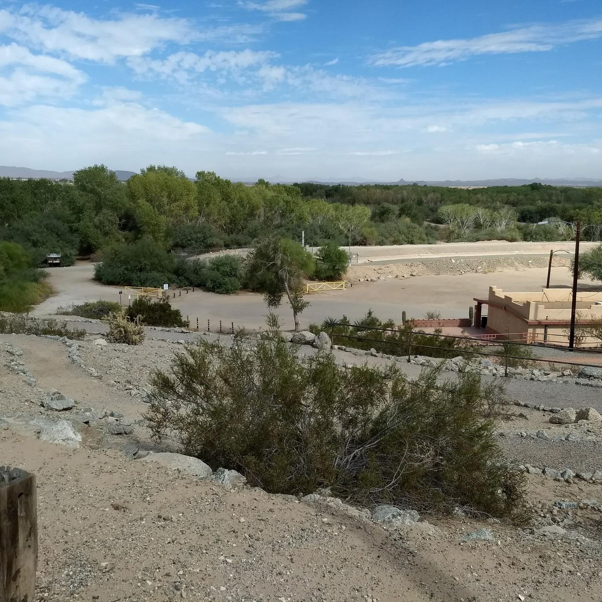
Road cycling routes in Padre Ranchitos often traverse urban areas, dedicated bikeways, and scenic parklands. You can explore historical sites like the Yuma Territorial Prison State Historic Park and the Colorado River State Historic Park, or enjoy natural settings such as the Yuma East Wetlands and West Wetlands Park.
What do other road cyclists enjoy the most about road cycling in Padre Ranchitos?
The area is highly rated by the komoot community, with an average score of 5.0 stars from 5 reviews. Reviewers often praise the varied terrain, which includes urban routes, dedicated bikeways, and riverside paths, offering options for both easy rides and moderate challenges.
What is the best season for road biking in Padre Ranchitos?
Padre Ranchitos generally experiences warm weather. The cooler months from late fall through early spring (October to April) are typically the most comfortable for road cycling, avoiding the intense heat of summer.
What are the typical weather conditions for cycling in Padre Ranchitos?
Padre Ranchitos is known for its arid desert climate, meaning dry conditions and abundant sunshine are common. Temperatures can be very high in summer, so it's advisable to check forecasts and plan rides for cooler parts of the day during warmer months.
Are there any viewpoints along the road cycling routes in Padre Ranchitos?
Many routes, especially those along riverfronts and through parks, offer scenic views of the Colorado River and surrounding natural landscapes. The Pivot Point Park – Riverside Park loop is a good example, providing pleasant vistas along the water.
Most popular routes around Padre Ranchitos
Most popular attractions around Padre Ranchitos

Get inspired with the komoot mobile app


Explore more
Browse the best Road cycling routes in other regions.
