The best gravel rides around Malvalette
3.5
(5)
54
riders
18
rides
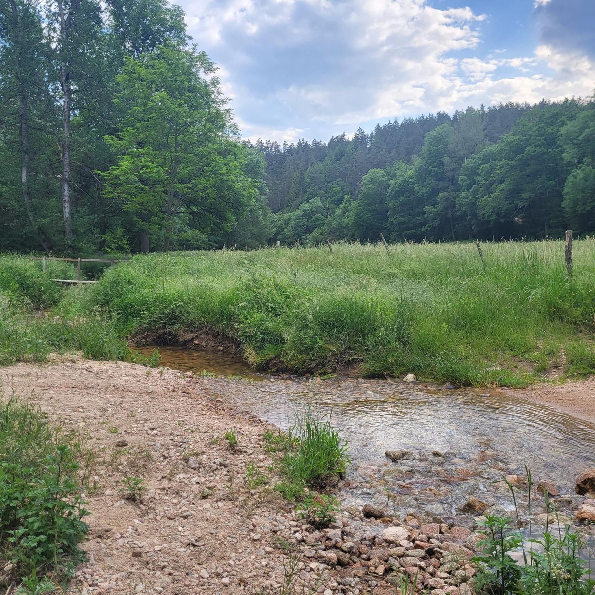
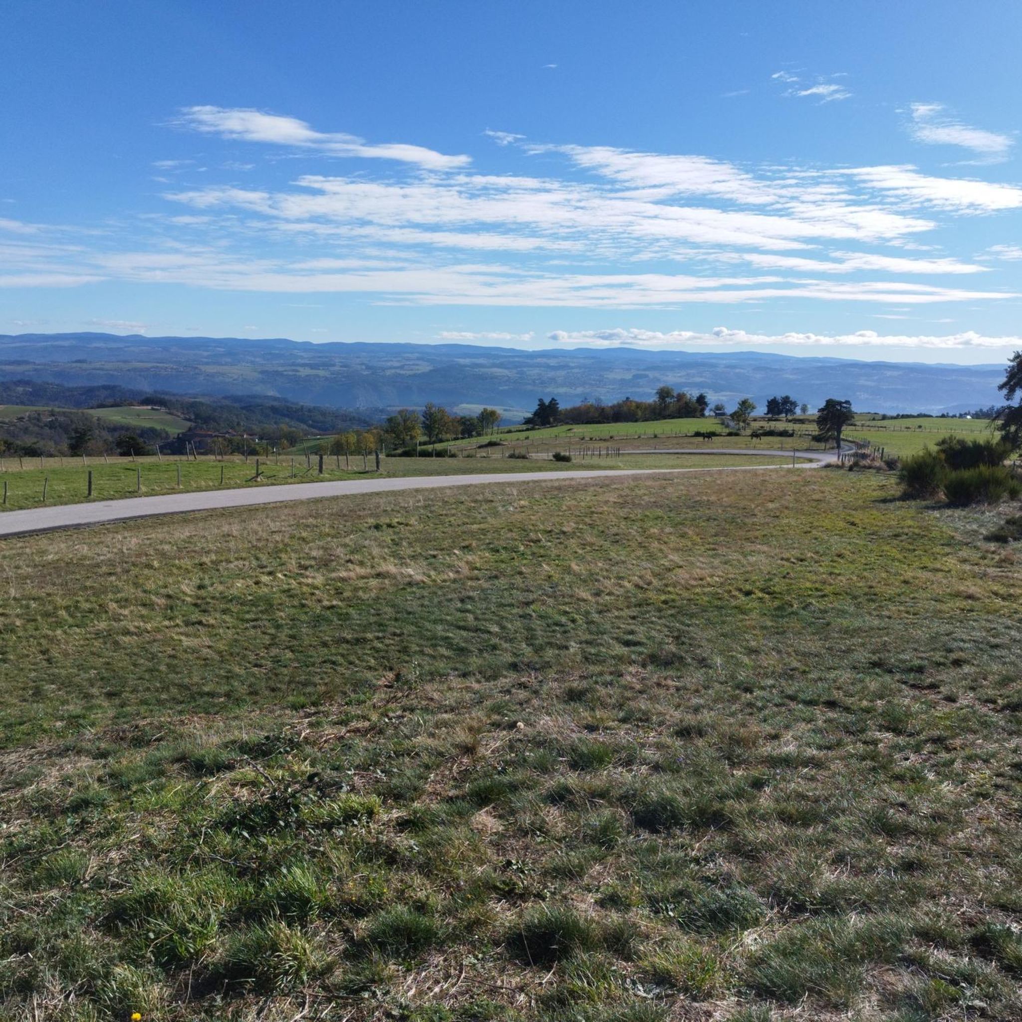
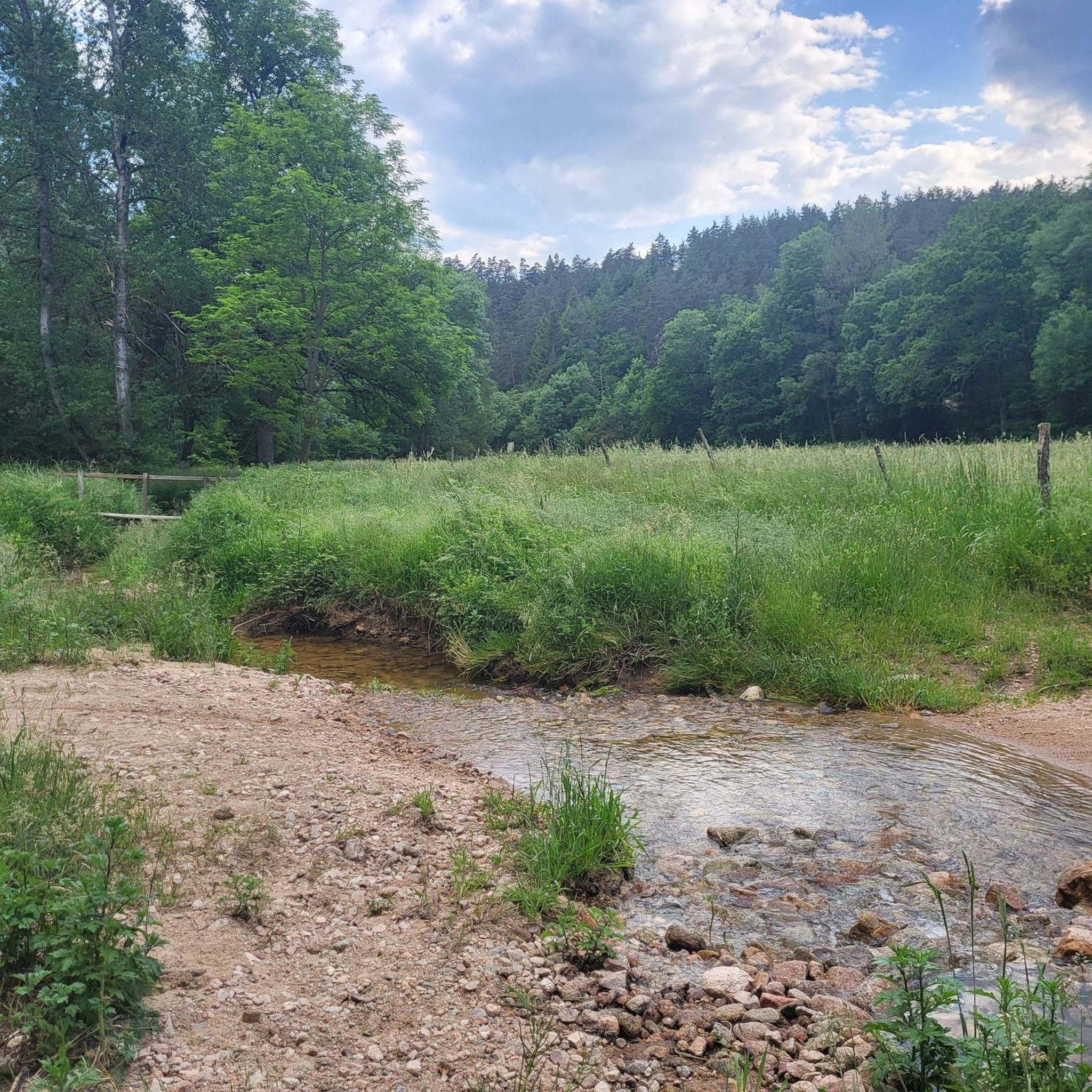
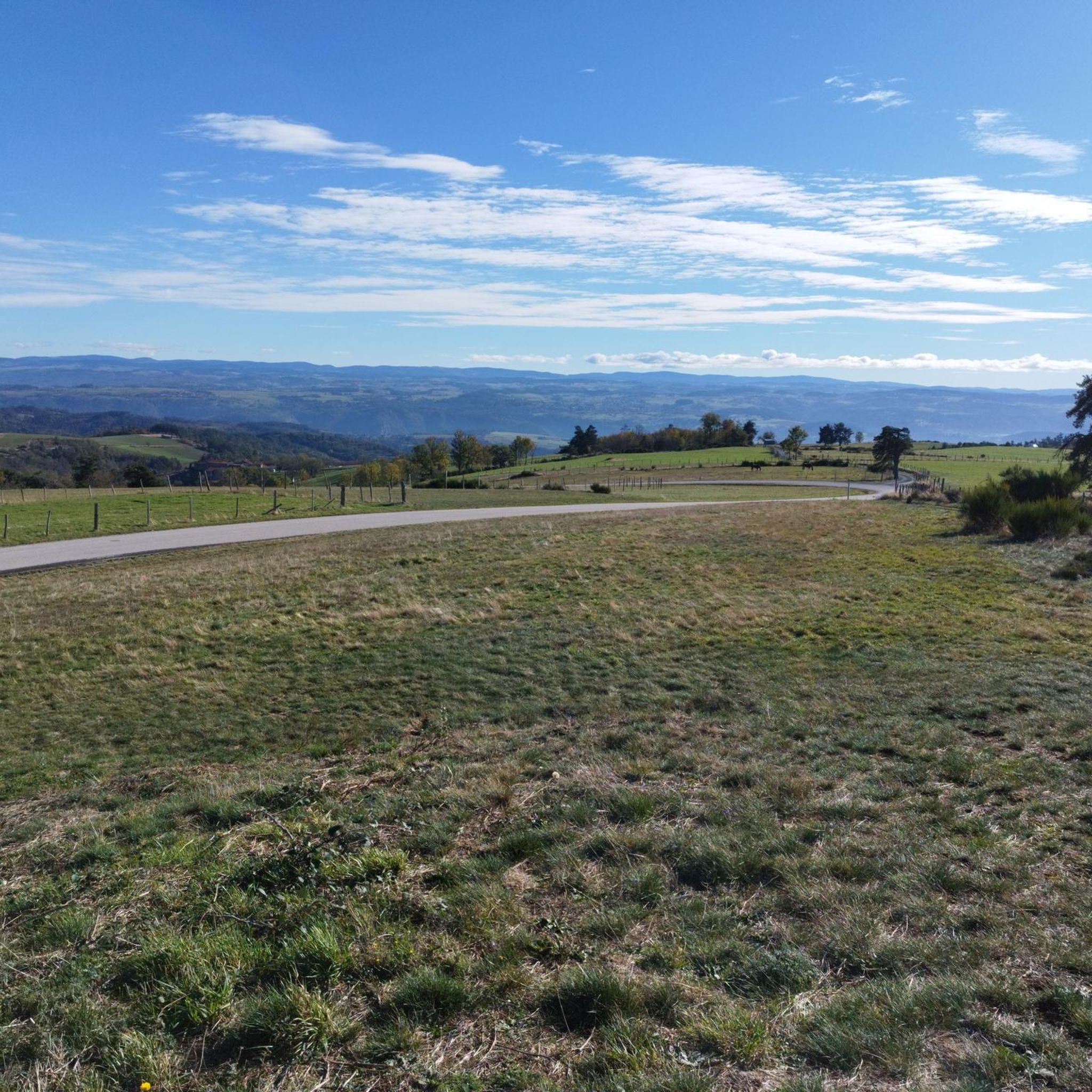
Gravel biking around Malvalette offers a network of routes through varied terrain. The region features an undulating landscape with significant elevation changes, characteristic of areas suitable for challenging gravel rides. Riders can expect to encounter a mix of surfaces, including forest paths, rural roads, and trails that traverse rolling hills and valleys. The routes often involve sustained climbs and descents, providing a demanding experience for gravel bikers.
Best gravel bike trails around Malvalette
- The most popular gravel bike trail is…
Last updated: July 5, 2026
4
riders
46.7km
04:14
1,080m
1,080m
Hard gravel ride. Very good fitness required. Mostly paved surfaces. Suitable for all skill levels.
2
riders
22.5km
02:05
500m
500m
Hard gravel ride. Very good fitness required. Mostly paved surfaces. Suitable for all skill levels.

Sign up for free
3
riders
33.9km
02:58
630m
630m
Hard gravel ride. Very good fitness required. Mostly paved surfaces. Suitable for all skill levels.
4
riders
36.6km
02:56
690m
690m
Hard gravel ride. Very good fitness required. Mostly paved surfaces. Suitable for all skill levels.
2
riders
31.3km
02:40
580m
580m
Hard gravel ride. Very good fitness required. You may need to push your bike for some segments of this route.
Get access to more routes and recommendations from other explorers.
Sign up for free
Already have an account?
Our route recommendations are based on thousands of hikes, rides, and runs completed by other people on komoot.
Start today with a free account
Your next adventure awaits.
Login or Signup
Tips from the Community

The pretty medieval village of Saint-Didier-en-Velay has a beautiful market hall (or Grenette) dating from 1880, a 14th century fortified house and more generally beautiful stones which are worth a little detour.
0
0


beautiful path in the woods, quite steep for a few meters on the Rozet side
0
0

beautiful course even if sometimes we get lost
0
0

Private castle of medieval origin, inhabited by the same family since the 14th century.
2
0


The collegiate Saint-Bonnet is built from May 8, 1400, date engraved in the crypt. It has several chapels, a former convent and a large hall. It is best known for its 15th century wall paintings and for its library containing numerous incunabula.
1
0
Frequently Asked Questions
What is the general difficulty level of gravel biking trails around Malvalette?
Gravel biking in Malvalette is primarily suited for experienced riders. The region features an undulating landscape with significant elevation changes, meaning routes often involve sustained climbs and descents. Out of 21 available routes, 16 are rated as difficult, 4 as moderate, and only 1 as easy.
Are there any easy gravel bike trails suitable for beginners or families in Malvalette?
While most routes in Malvalette are challenging, there is one easy gravel bike trail available. For those seeking a less demanding experience, it's advisable to check the specific route details on komoot to ensure it matches your skill level and preferences. The region's terrain is generally characterized by rolling hills and elevation gains.
What kind of terrain can I expect on gravel bike routes in Malvalette?
You can expect a varied mix of surfaces, including forest paths, rural roads, and trails that traverse rolling hills and valleys. The landscape is undulating with significant elevation changes, providing a demanding experience for gravel bikers.
Are there any circular gravel bike routes in the Malvalette area?
Yes, many of the gravel bike routes around Malvalette are designed as loops. For example, the Clear View loop from Saint-Maurice-en-Gourgois, the Loire Bridge – Lizeron Path loop from Fraisses - Unieux, and the La sambonitaine – Tour of Saint-Bonnet loop from Saint-Bonnet-le-Château are all circular routes offering diverse experiences.
What are some notable landmarks or attractions I might see along the gravel bike trails?
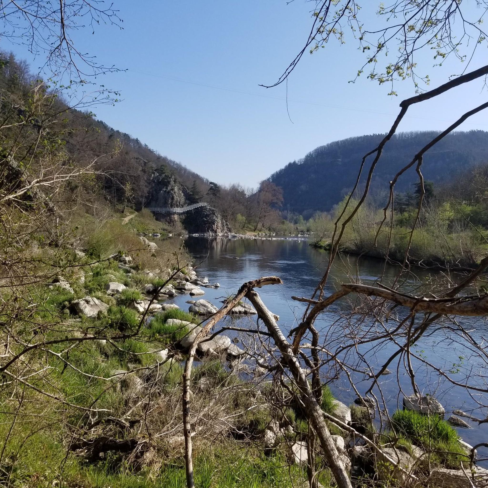
Several routes offer access to interesting sights. You might encounter the Path along the Loire River, the impressive Aurec-sur-Loire Himalayan footbridge, or the historic settlement of St Bonnet-le-Château. Other points of interest include the Valprivas castle and the ancient Roche-Cubertelle Dolmen.
What is the typical distance and elevation gain for gravel bike routes in Malvalette?
The routes vary in length and elevation. For instance, the Marino loop from Bas-Monistrol is about 36.5 km with 685 meters of elevation gain, while the Ponds Tour loop from Le Lavoir covers roughly 30.3 km with 519 meters of ascent. Most difficult routes feature significant climbs.
What do other gravel bikers say about the trails in Malvalette?
The gravel biking routes in Malvalette are highly rated by the komoot community, with an average score of 3.0 stars from over 7 reviews. Riders often praise the varied terrain, the challenging climbs, and the rewarding views across the landscape.
Are there any routes that offer expansive viewpoints?
Yes, the region's undulating landscape naturally provides many opportunities for scenic views. The Clear View loop from Saint-Maurice-en-Gourgois is specifically highlighted for its expansive views across the landscape, making it a great choice if you're looking for panoramic vistas.
How many gravel bike routes are available in the Malvalette area?
There are over 20 gravel bike routes available around Malvalette, offering a diverse network for exploration. The majority of these routes are rated as difficult, catering to experienced riders.
When is the best time of year to go gravel biking in Malvalette?
While specific seasonal recommendations depend on weather, the varied terrain with forest paths and rural roads suggests that spring and autumn could be ideal. Autumn, in particular, might offer beautiful scenery with changing foliage, enhancing the experience on routes through diverse rural landscapes.
Are there any routes that incorporate sections along the Loire River?
Yes, the Loire Bridge – Lizeron Path loop from Fraisses - Unieux is a notable route that incorporates sections along the Loire River, offering a different scenic element to your ride.
Most popular routes around Malvalette
Most popular attractions around Malvalette

Get inspired with the komoot mobile app


Explore more
Browse the best Gravel rides in other regions.
