The best running trails around Saint-Aubin-Rivière
169
runners
20
runs
Jogging routes Saint-Aubin-Rivière traverse a tranquil landscape in the Somme department, characterized by its unique natural features. The region features the picturesque Liger river valley, rolling hills, and distinctive calcareous larris. These areas offer varied terrain for running, from shaded paths along the river to more open trails on hillsides. The blend of natural beauty and accessible routes makes Saint-Aubin-Rivière suitable for outdoor pursuits.
Best jogging routes around Saint-Aubin-Rivière
- The most popular jogging route is Running loop from Saint-Aubin-Rivière,…
Last updated: July 5, 2026
46
runners
10.6km
01:15
220m
230m
Moderate run. Good fitness required. Mostly paved surfaces. Suitable for all skill levels.
43
runners
11.0km
01:17
200m
200m
Moderate run. Good fitness required. Mostly paved surfaces. Suitable for all skill levels.

Sign up for free
4
runners
6.89km
00:43
60m
60m
Moderate run. Good fitness required. Mostly paved surfaces. Suitable for all skill levels.
4
runners
6.40km
00:40
50m
50m
Moderate run. Good fitness required. Mostly paved surfaces. Suitable for all skill levels.
4
runners
11.9km
01:15
100m
100m
Moderate run. Good fitness required. Mostly paved surfaces. Suitable for all skill levels.
Get access to more routes and recommendations from other explorers.
Sign up for free
Already have an account?
Our route recommendations are based on thousands of hikes, rides, and runs completed by other people on komoot.
Start today with a free account
Your next adventure awaits.
Login or Signup



Frequently Asked Questions
How many running routes are available in Saint-Aubin-Rivière?
There are 16 dedicated running routes around Saint-Aubin-Rivière, offering a variety of distances and experiences for joggers. These routes traverse the tranquil landscapes of the Somme department.
Are there running routes suitable for all skill levels?
Yes, the area offers a range of running routes. While most are classified as moderate, there is at least one easy route for beginners or those seeking a gentler run, and two more difficult options for experienced runners looking for a challenge.
What kind of scenery can I expect on the running trails in Saint-Aubin-Rivière?
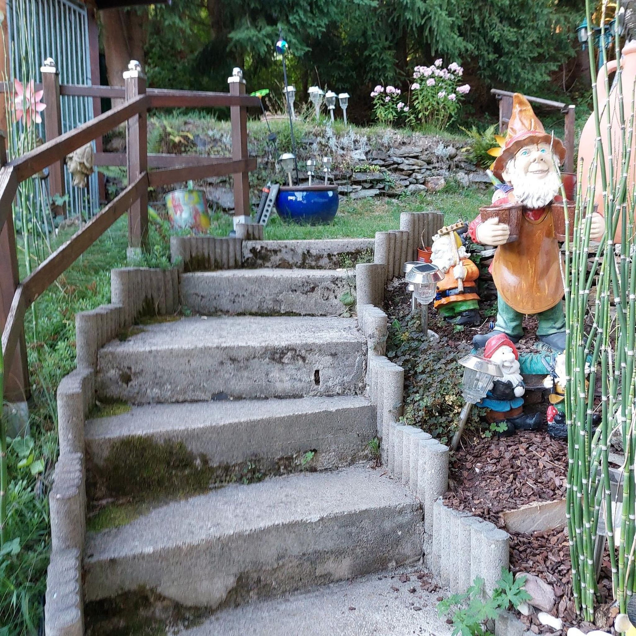
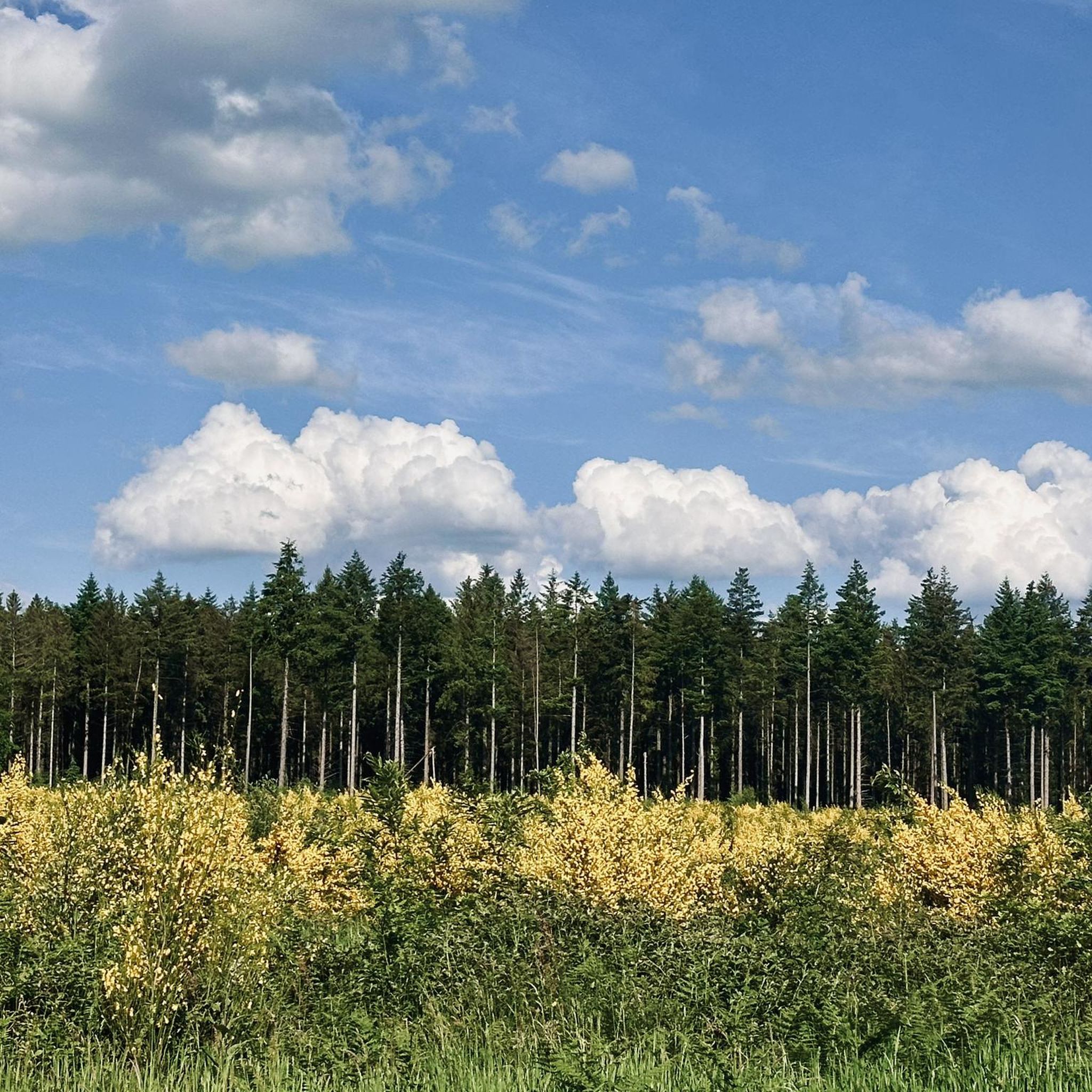
You can expect diverse and picturesque scenery. Many routes feature the unique 'Les larris de Saint-Aubin-Rivière', a calcareous hillside with Mediterranean-like flora and views of the Liger valley, bocage, pastures, and agricultural lands. You'll also find shaded paths along the Liger river and through wooded areas like Argüel and Liomer.
Are there any specific natural sights or landmarks to look out for while running?
Absolutely. The most notable natural feature is Les larris de Saint-Aubin-Rivière, known for its unique flora including pasque flowers and wild orchids. The scenic Liger river valley itself is a constant companion on many routes, offering picturesque views. While there are no specific highlights listed, the natural beauty of the larris and the river are the main attractions.
Are there circular running routes available?
Yes, many of the running paths in Saint-Aubin-Rivière are designed as loops, allowing you to start and finish in the same location. For example, the popular Running loop from Saint-Aubin-Rivière is a great option for a comprehensive circular experience.
Can I bring my dog on the running trails?
While specific restrictions vary by route, generally, many natural trails in rural areas like Saint-Aubin-Rivière are dog-friendly, especially if your dog is well-behaved and kept on a leash. It's always recommended to check local signage or specific route details for any restrictions before heading out with your canine companion.
Are there family-friendly jogging paths in the area?
For families, the easier and shorter routes are ideal. While specific 'family-friendly' designations aren't always present, routes with less elevation gain and smoother terrain would be most suitable. Consider exploring the less challenging sections of the Liger river valley for a pleasant family outing.
What is the best time of year to go running in Saint-Aubin-Rivière?
The region's unique flora, especially in 'Les larris', suggests that spring and early summer would be particularly beautiful, with wildflowers in bloom. Autumn also offers stunning colors in the wooded areas. However, the tranquil setting makes it suitable for running throughout the year, weather permitting.
Are there options for longer distance running?
Yes, if you're looking for longer runs, several routes exceed 10 kilometers. For instance, the Bois de Runeval loop from Ellecourt is an 8.5-mile (13.7 km) trail, and the Running loop from Le Quesne covers 7.0 miles (11.3 km), providing ample distance for endurance training.
Is parking available near the running trails?
Parking availability varies by starting point. Many routes begin in or near villages like Saint-Aubin-Rivière, Le Quesne, or Ellecourt, where public parking is generally available. It's advisable to check the specific starting point of your chosen route for the most convenient parking options.
What do other runners enjoy most about jogging in Saint-Aubin-Rivière?
Runners frequently appreciate the tranquil setting and diverse natural landscapes. The blend of river valleys, rolling hills, and unique larris provides a varied and engaging experience. The komoot community has explored these routes over 120 times, indicating a well-regarded running destination.
How accessible are the running routes by public transport?
Saint-Aubin-Rivière is a rural commune, and public transport options directly to trailheads might be limited. It's generally recommended to access the starting points by car. For detailed public transport information, local bus schedules for the Somme department would need to be consulted, though direct connections to specific trailheads are uncommon.
Most popular routes around Saint-Aubin-Rivière
Most popular attractions around Saint-Aubin-Rivière

Get inspired with the komoot mobile app


Explore more
Browse the best Running Trails & Routes in other regions.
