
The best running trails around Brabant-En-Argonne
4.5
(2)
46
runners
13
runs
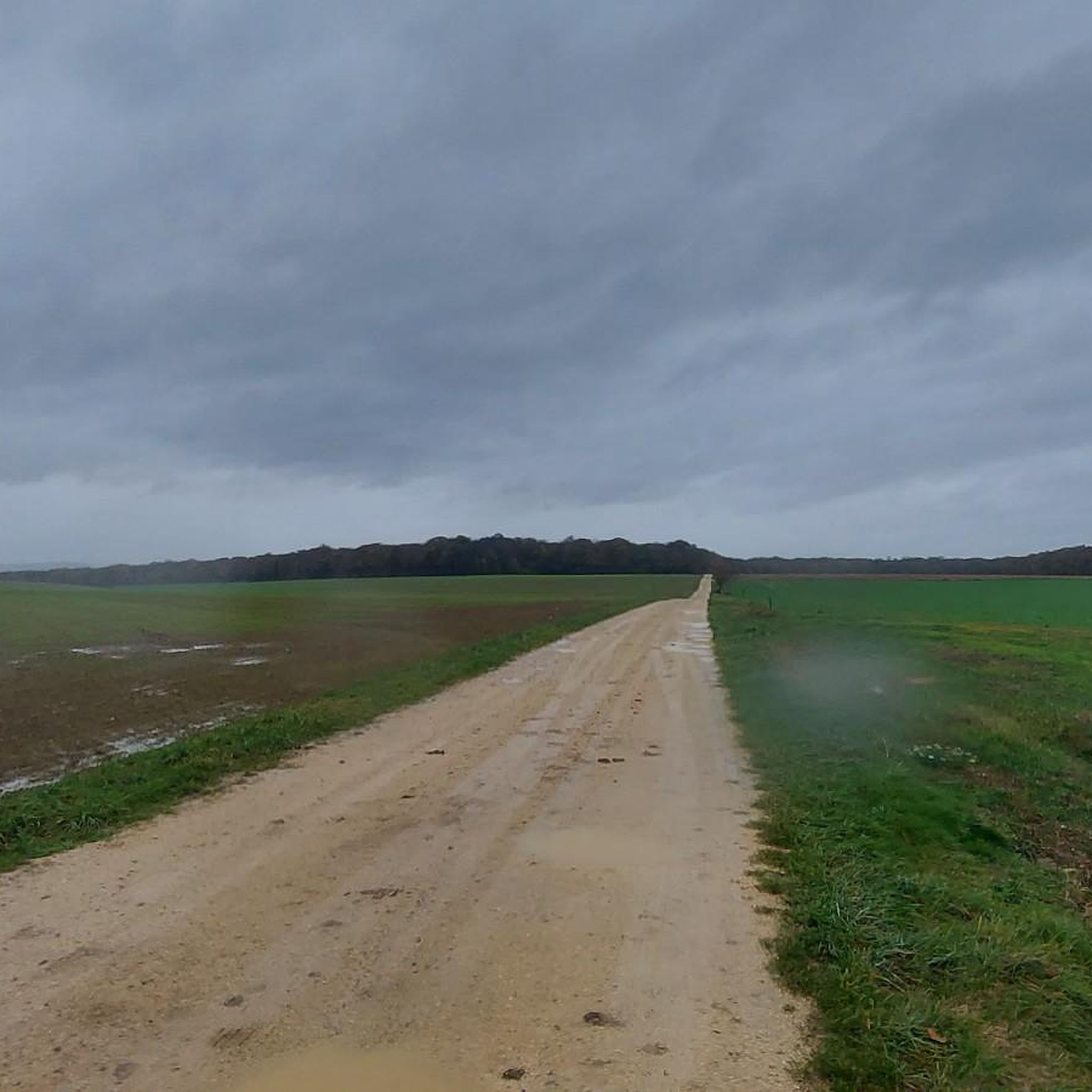
Jogging around Brabant-En-Argonne offers a network of running routes through a landscape characterized by gentle hills and varied terrain. The region features moderate elevation changes, making it suitable for runners seeking a consistent workout without extreme climbs. These running routes often traverse rural areas, providing a blend of open spaces and natural surroundings.
Best jogging routes around Brabant-En-Argonne
- The most popular jogging route is Running loop from Récicourt, a 6.1 miles (9.8 km) trail that takes 1 hour 8…
Last updated: July 5, 2026
5.0
(1)
5
runners
9.85km
01:08
120m
120m
Moderate run. Good fitness required. Mostly paved surfaces. Suitable for all skill levels.
4
runners
8.29km
00:58
90m
90m
Moderate run. Good fitness required. Mostly paved surfaces. Suitable for all skill levels.

Sign up for free
5
runners
10.9km
01:15
130m
130m
Moderate run. Good fitness required. Mostly paved surfaces. Suitable for all skill levels.
4.0
(1)
3
runners
8.84km
00:57
120m
120m
Moderate run. Good fitness required. Mostly paved surfaces. Suitable for all skill levels.
3
runners
11.4km
01:14
140m
150m
Moderate run. Good fitness required. Mostly paved surfaces. Suitable for all skill levels.
Get access to more routes and recommendations from other explorers.
Sign up for free
Already have an account?
Our route recommendations are based on thousands of hikes, rides, and runs completed by other people on komoot.
Start today with a free account
Your next adventure awaits.
Login or Signup



Frequently Asked Questions
How many running routes are available in Brabant-En-Argonne?
There are currently 12 dedicated running routes around Brabant-En-Argonne listed on komoot, all offering a moderate challenge through the region's varied terrain.
Are there any beginner-friendly jogging trails in Brabant-En-Argonne?
All the listed jogging routes in Brabant-En-Argonne are rated as moderate difficulty. While none are specifically categorized as 'easy', the region's gentle hills and varied terrain make them accessible for runners with some experience looking for a consistent workout without extreme climbs. For example, the Running loop from Clermont-en-Argonne is one of the shorter options at 5.5 miles (8.9 km).
What is the typical length and elevation gain for running routes in this area?
Running routes in Brabant-En-Argonne generally range from 5.3 to 7.1 miles (8.6 to 11.4 km) in length. You can expect moderate elevation changes, typically between 118 to 146 meters (387 to 479 feet) of ascent, providing a good workout without overly steep sections.
Are there any circular jogging routes in Brabant-En-Argonne?
Yes, all the featured running paths in Brabant-En-Argonne are circular routes, designed to bring you back to your starting point. This includes popular options like the Running loop from Récicourt and the Running loop from Dombasle-en-Argonne.
What kind of terrain can I expect on the running trails?
The running trails in Brabant-En-Argonne feature a mix of terrain, characterized by rolling hills, open fields, and quiet paths. You'll often traverse rural areas, enjoying a blend of natural surroundings and agricultural landscapes.
What do other runners say about the trails in Brabant-En-Argonne?
The running routes in Brabant-En-Argonne are highly rated by the komoot community, with an average score of 4.5 stars. Runners often praise the region's varied terrain, moderate challenges, and the peaceful, rural atmosphere.
Are there any interesting historical sites or landmarks to see while running?
While the routes themselves focus on natural landscapes, the broader region of Brabant-En-Argonne is rich in history. Notable nearby attractions include Vauquois Hill, a significant WWI site, the Courson Shelter, and the historic Beaulieu-en-Argonne Abbey. You might consider exploring these before or after your run.
Is Brabant-En-Argonne suitable for winter jogging?
The region's terrain, with its gentle hills and varied paths, can be suitable for winter jogging, provided conditions are safe. Always check local weather forecasts for snow or ice, and ensure you wear appropriate gear for colder temperatures and potentially slippery surfaces.
Are there any running routes that pass through or near villages with amenities like cafes?
Many of the running loops start from or pass near villages such as Récicourt, Dombasle-en-Argonne, and Clermont-en-Argonne. These villages may offer local amenities, including small shops or cafes, where you can refuel. For example, the Running loop from Béthelainville begins in a village that might offer such conveniences.
What is the best time of year for running in Brabant-En-Argonne?
Spring and autumn are generally ideal for running in Brabant-En-Argonne, offering pleasant temperatures and beautiful scenery as the landscape changes. Summer can also be enjoyable, especially during cooler mornings or evenings, while winter provides a different, often quieter, experience.
Are the running trails in Brabant-En-Argonne well-marked?
While specific marking details can vary, komoot routes generally follow established paths and tracks. Using the komoot app for navigation is recommended to ensure you stay on the correct trail, especially in areas with varied terrain or multiple intersecting paths.
Can I expect to see wildlife while out on a run?
Given the rural nature of Brabant-En-Argonne, with its open fields and natural surroundings, you have a good chance of spotting local wildlife. Keep an eye out for various bird species, small mammals, and other creatures typical of the French countryside, especially during quieter times of the day.
Most popular attractions around Brabant-En-Argonne

Get inspired with the komoot mobile app


Explore more
Browse the best Running Trails & Routes in other regions.
