The best running trails around Cazarilh
4.4
(19)
850
runners
114
runs
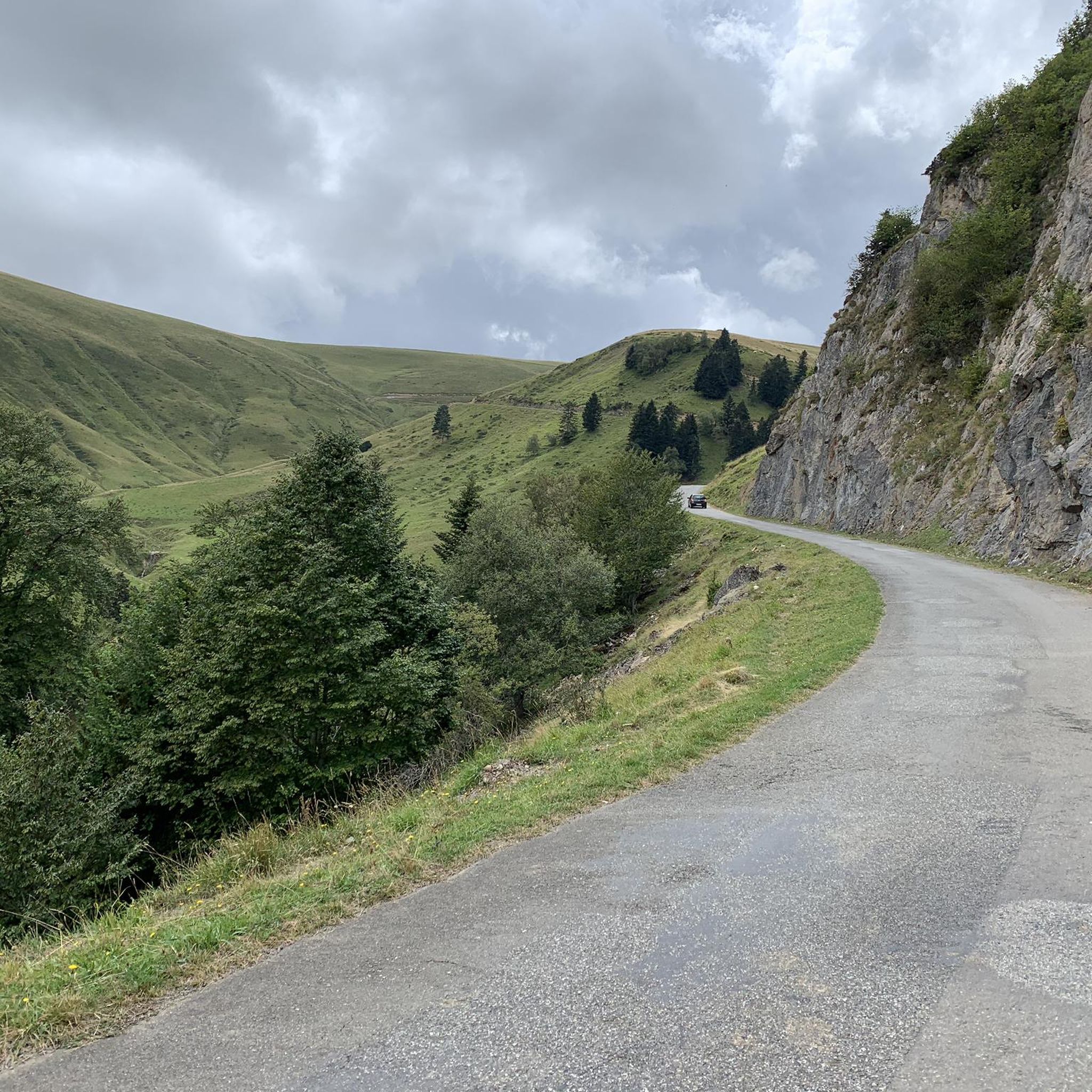
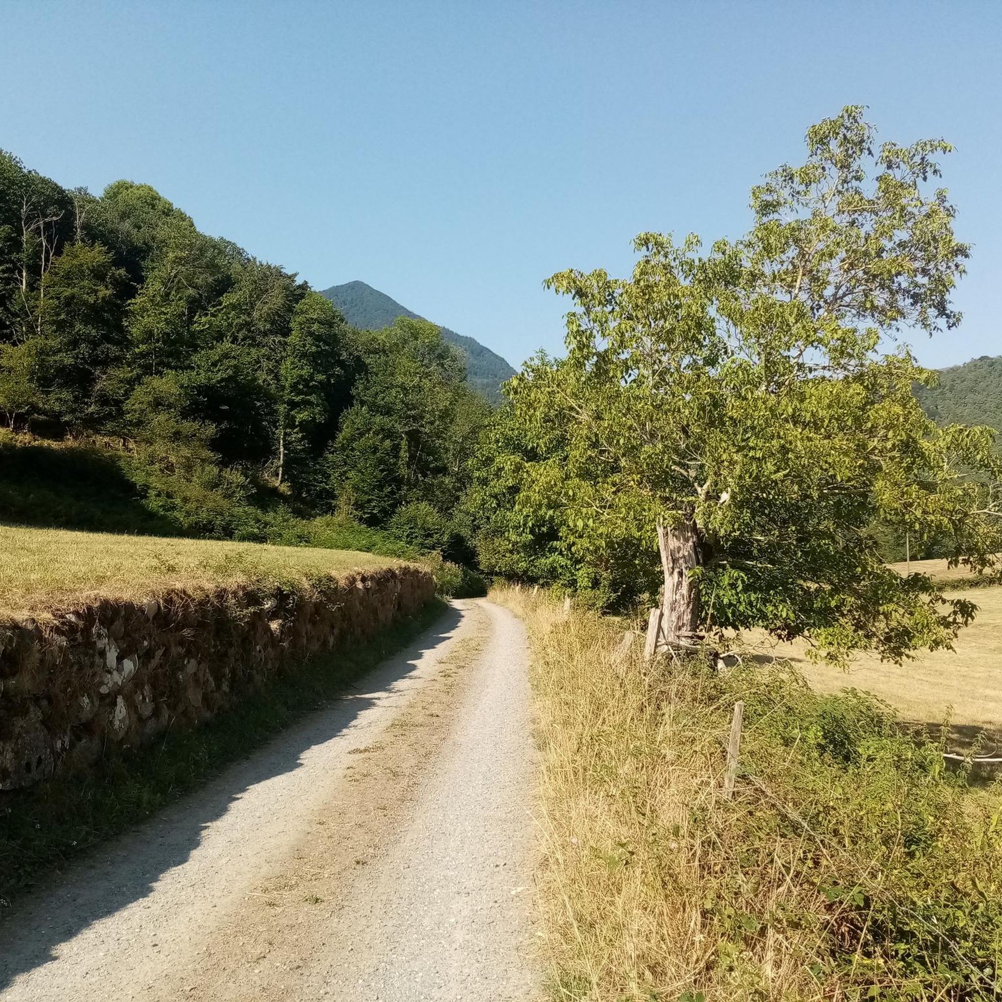
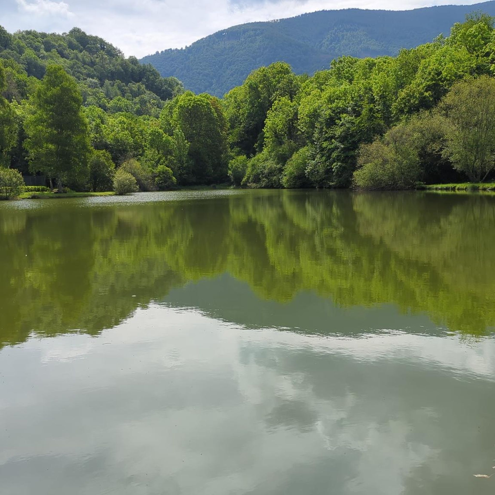
Jogging routes Cazarilh offer a diverse landscape for runners, nestled within the majestic Pyrenean massif. The region features dramatic mountain views, picturesque valleys, and lush forests of old beech trees, providing varied terrain for running. Numerous mountain passes and hills, along with serene lakes, contribute to the area's natural beauty, making it ideal for trail running and exploring.
Best jogging routes around Cazarilh
- The most popular jogging route is Col des Sonères loop from Ferrère, a 19.4 miles (31.3…
Last updated: July 4, 2026
45
runners
13.3km
02:14
940m
940m
Hard run. Very good fitness required. Mostly paved surfaces. Suitable for all skill levels.
5.0
(2)
23
runners
10.3km
01:16
350m
350m
Hard run. Very good fitness required. Mostly paved surfaces. Suitable for all skill levels.

Sign up for free
11
runners
32.7km
05:06
1,900m
1,900m
Hard run. Very good fitness required. Sure-footedness, sturdy shoes and alpine experience required.
10
runners
15.0km
02:38
1,010m
1,010m
Hard run. Very good fitness required. Sure-footedness, sturdy shoes and alpine experience required.
7
runners
18.9km
02:45
940m
940m
Hard run. Very good fitness required. Mostly paved surfaces. Suitable for all skill levels.
Get access to more routes and recommendations from other explorers.
Sign up for free
Already have an account?
Our route recommendations are based on thousands of hikes, rides, and runs completed by other people on komoot.
Start today with a free account
Your next adventure awaits.
Login or Signup
Tips from the Community

A family-friendly hike or mountain bike ride around the world, very easy level. For an exceptional viewpoint.
0
0

Small and very pretty town at the foot of Port Balès. It is worth stopping at the town fountain to take a breather before the climb to Port de Balès.
0
0

The pretty little village of Mauléon-Barousse marks the start of the ascent towards the port of Balès. The climb is 18.9 kilometers long with an average of 6.3%, some of which exceed 14%.
2
0

Nice little village with its stone houses and steep streets. A fountain allows you to fill empty cans.
1
0

Hike worth the detour. Different car parks at different altitudes to make the exit more difficult.
1
0
Mauléon- Barousse marks the end of the first part of the low-sloping pass and the start of the steeper slopes.
1
0


Very helpful then nothing more comes up.
2
0
Frequently Asked Questions
What kind of terrain can I expect on the running routes around Cazarilh?
The running routes around Cazarilh offer a diverse range of terrain, from challenging mountain paths with significant elevation changes to more accessible forest trails. You'll find yourself amidst the majestic Pyrenean massif, with opportunities to run along ridges offering panoramic views, through lush forests of old beech trees, and beside serene lakes. The region's varied landscape ensures options for different fitness levels and preferences.
Are there running routes suitable for beginners or those looking for an easier jog?
Yes, while many routes in Cazarilh are challenging, there are options for easier jogs. Out of over 100 routes, 4 are specifically rated as easy, and 52 are moderate. For a moderate option, consider the Mauléon-Barousse loop from Ferrère, which covers about 8.8 km with less intense elevation compared to the more demanding mountain trails.
What are some of the most scenic natural features or landmarks I can see while running in Cazarilh?
Cazarilh is surrounded by stunning natural beauty. As you run, you can enjoy panoramic views of the Pyrenean massif and picturesque valleys. Notable natural features include several beautiful lakes such as Lac d'Oo, Lac de Bordères, and Lac d'Espingo. You might also encounter impressive mountain passes like Col du Tourmalet or Col d'Aspin, and peaks like Mont Né. For specific points of interest, you could explore areas near Gar Peak or the historic Col des Ares.
Are there any circular running routes in the Cazarilh area?
Yes, many of the running routes in Cazarilh are circular, allowing you to start and finish in the same location. For example, the challenging Col des Sonères loop from Ferrère is a popular circular option, as is the Tourroc Peak loop from Sacoué. These loops offer varied landscapes and return you to your starting point.
What do other runners say about the trails in Cazarilh?
The running trails in Cazarilh are highly regarded by the komoot community, with an average score of 4.5 stars from over 15 reviews. Runners often praise the dramatic mountain views, the variety of terrain, and the opportunity to explore the serene Pyrenean landscapes. The extensive network of trails is appreciated for offering options for various fitness levels.
Can I find running routes that pass by lakes or water features?
Absolutely. The region around Cazarilh is dotted with beautiful lakes that provide serene backdrops for a run. You can find routes near Lac d'Oo, Lac de Bordères (also known as Lac de Bareilles), Lac d'Espingo, Lac du Saussat, and Lac de la Coume de l'Abesque. While specific routes passing directly by all these lakes aren't listed here, the general area offers many opportunities to incorporate water features into your run.
Are there any family-friendly running or walking paths suitable for children in Cazarilh?
While many routes in Cazarilh are geared towards more experienced runners due to elevation and distance, the region's extensive network of trails includes easier paths that can be adapted for family walks or gentle jogs. Look for the 4 routes rated as 'easy' in the guide, which typically have less elevation and shorter distances, making them more suitable for families. The peaceful forest paths can be particularly enjoyable for all ages.
What are the parking options like at the trailheads in Cazarilh?
Parking availability can vary depending on the specific trailhead. For routes starting from villages like Ferrère or Sacoué, there are often designated parking areas. It's advisable to check local signage or use navigation apps for specific parking information when planning your run, especially for less frequented trailheads in the Pyrenees.
Is public transport available to reach the running routes around Cazarilh?
Public transport options directly to every trailhead in the Cazarilh area might be limited, as it's a more rural, mountainous region. However, Bagnères-de-Luchon, a spa town about 19 km south of Cazarilh, serves as a regional hub and may offer more public transport connections. From there, local services or taxis might be available to reach specific starting points. Planning ahead is recommended.
Are there any cafes or places to get refreshments near the running trails in Cazarilh?
Cazarilh itself is a small village, so direct amenities on the trails might be scarce. However, many routes pass through or near small, beautifully restored villages where you might find local cafes or auberges. For more options, the nearby spa town of Bagnères-de-Luchon offers a wider range of cafes, restaurants, and amenities for post-run refreshments and recovery.
What is the best time of year to go running in Cazarilh?
The best time for running in Cazarilh largely depends on your preference for weather and terrain. Spring and autumn offer pleasant temperatures and vibrant scenery, with fewer crowds. Summer is also popular, but higher altitudes can still be cool, and lower areas can be warm. Winter running is possible, especially on lower-elevation paths, but requires appropriate gear for snow and ice, and some higher mountain passes may be inaccessible.
Are there any running routes that offer views of the Pyrenean peaks?
Absolutely. The entire region is characterized by the majestic Pyrenean massif, so many routes offer stunning panoramic views of its peaks. Challenging routes like the Col des Sonères – Mount Né loop from Ferrère are specifically known for extensive views across the Pyrenees. Even moderate trails often provide glimpses of the dramatic mountain scenery.
Most popular attractions around Cazarilh

Get inspired with the komoot mobile app


Explore more
Browse the best Running Trails & Routes in other regions.
