The best MTB trails around Pastricciola
3.3
(12)
96
riders
5
rides
Mountain biking around Pastricciola features challenging trails through mountainous terrain in central Corsica. The region is characterized by dense forests, river valleys, and significant elevation changes, offering demanding climbs and descents. These routes often traverse high mountain passes and lead to natural features like waterfalls and historical ruins. The landscape provides a rugged environment suitable for experienced mountain bikers.
Best mountain bike trails around Pastricciola
- The most popular mountain bike trail is English Falls – Vizzavona Fort ruins loop from…
Last updated: July 4, 2026
4.0
(3)
25
riders
29.4km
03:02
860m
860m
Hard mountain bike ride. Good fitness required. Advanced riding skills necessary. Some portions of the route may require you to push your bike.
5.0
(2)
12
riders
31.1km
02:59
830m
830m
Hard mountain bike ride. Good fitness required. Advanced riding skills necessary. Some portions of the route may require you to push your bike.

Sign up for free
1.0
(1)
3
riders
34.0km
04:20
1,270m
1,270m
Hard mountain bike ride. Very good fitness required. Advanced riding skills necessary. Some portions of the route may require you to push your bike.
4.6
(5)
21
riders
46.5km
03:59
1,300m
1,300m
Hard mountain bike ride. Very good fitness required. Suitable for all skill levels.
2.0
(1)
23
riders
42.5km
05:06
1,370m
1,370m
Hard mountain bike ride. Very good fitness required. Advanced riding skills necessary. Some portions of the route may require you to push your bike.
Our route recommendations are based on thousands of hikes, rides, and runs completed by other people on komoot.
Start today with a free account
Your next adventure awaits.
Login or Signup
Popular around Pastricciola
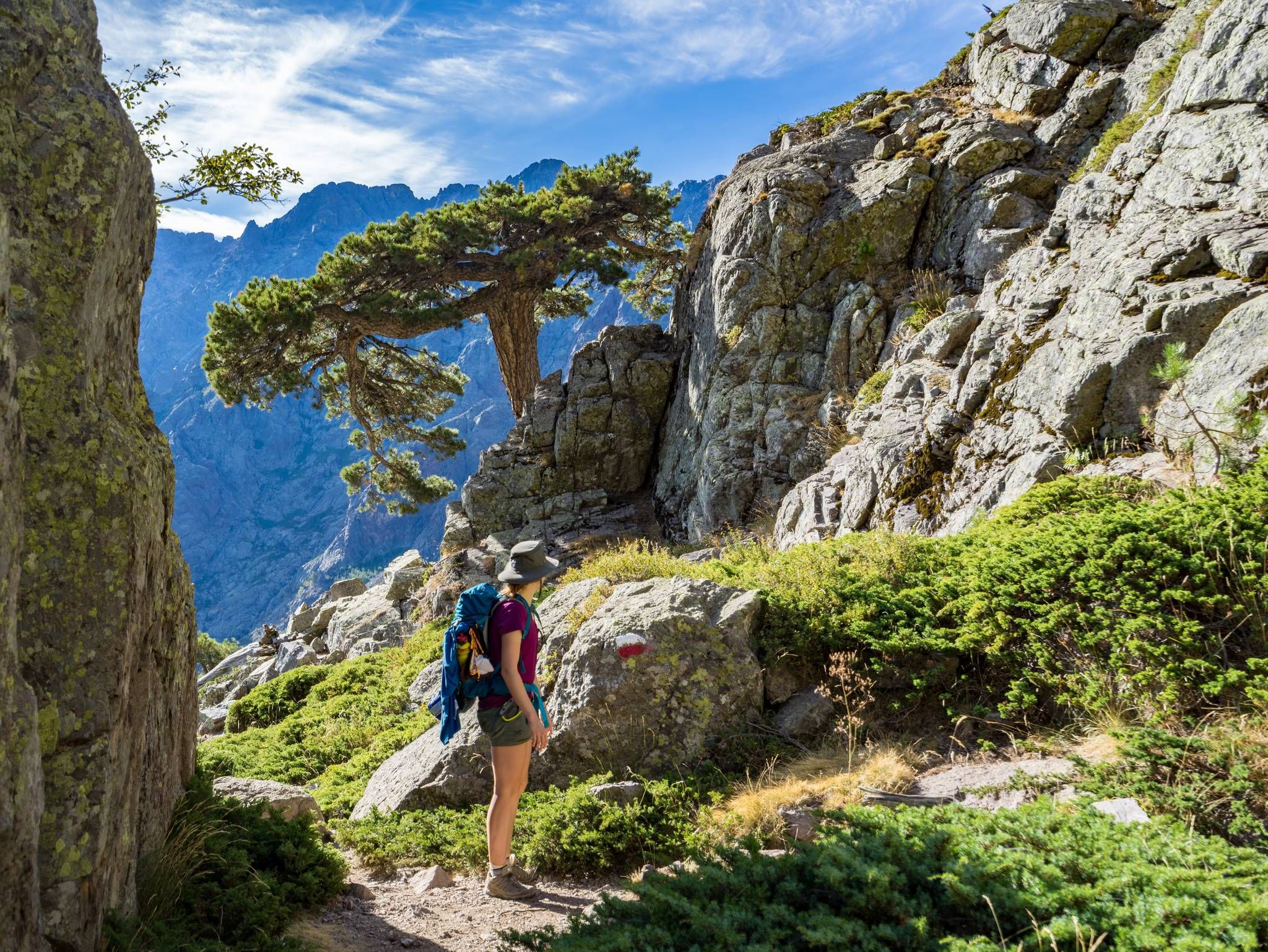
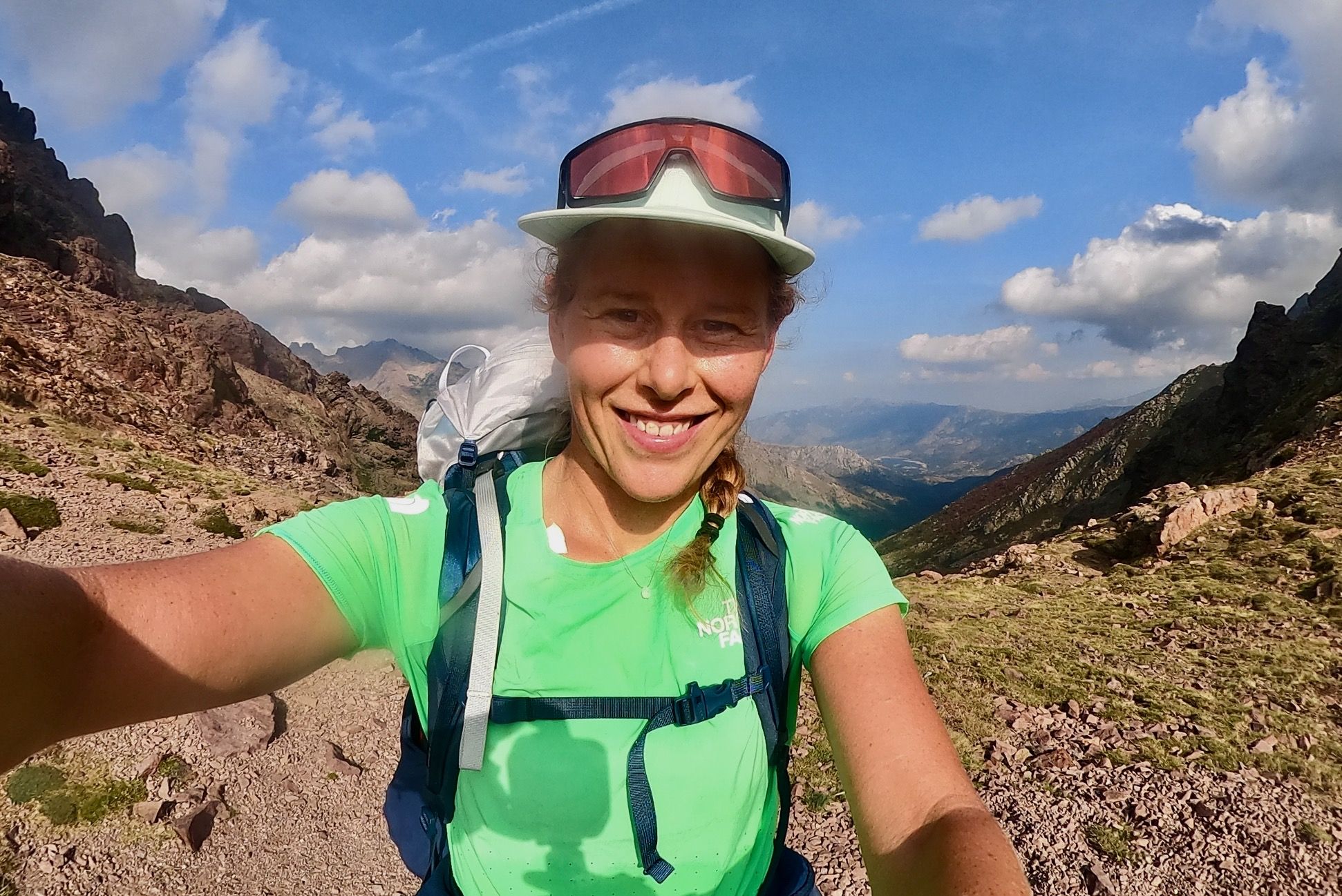
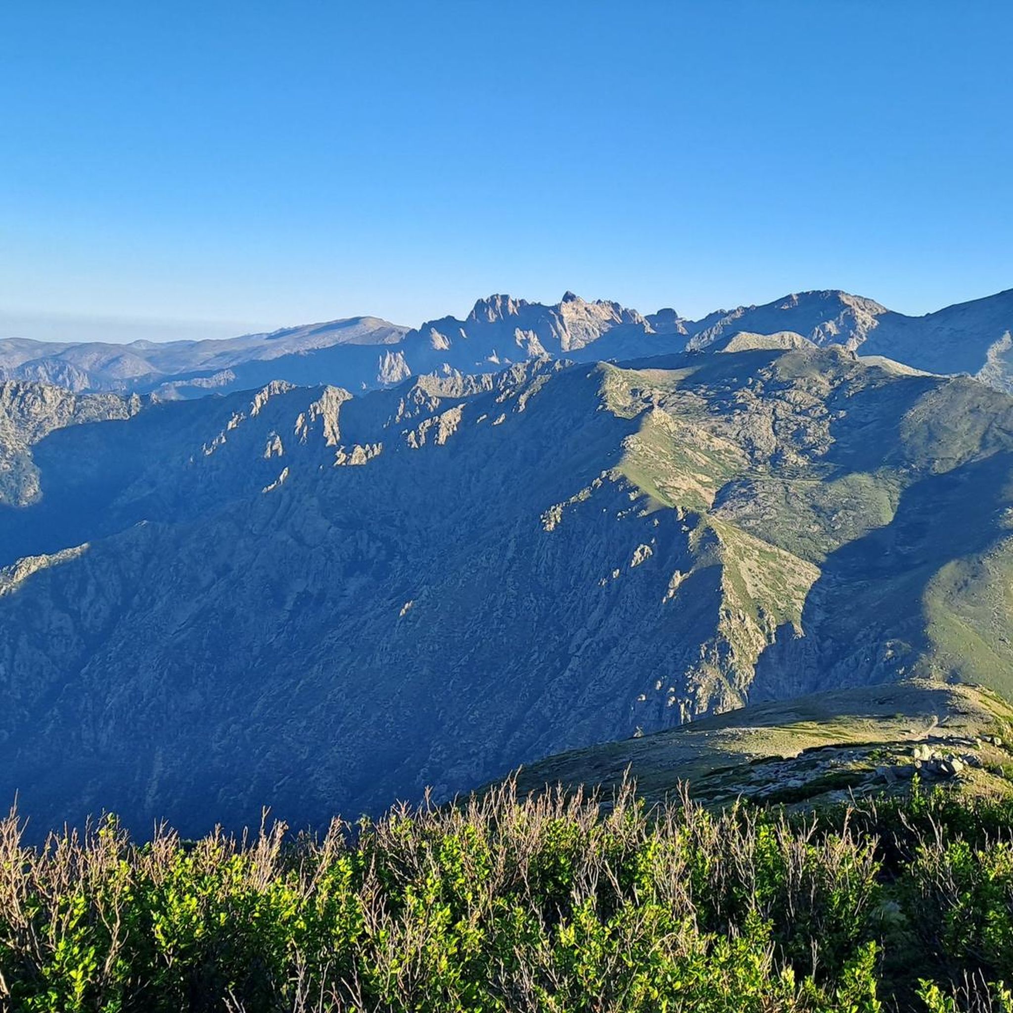
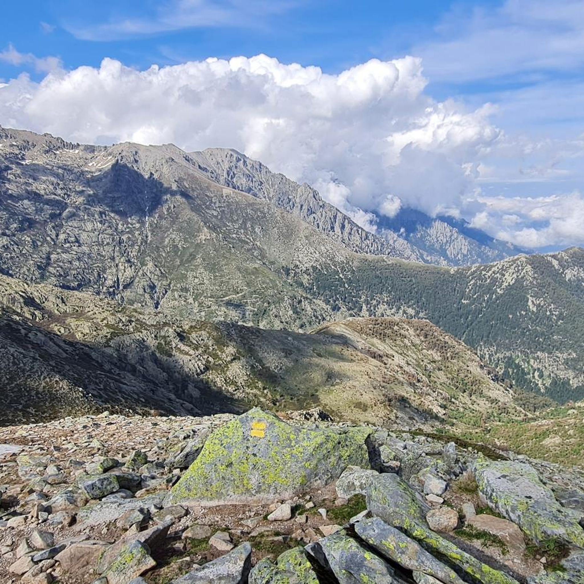



Tips from the Community


The Route Forestière 6 was a road in Corsica established in 1854 by the Décret Imperial 1782. It was built to develop one of Corsica's forests for the timber industry. Operated by the state, it had the status of a national road. The F6 branched off from the National Road 198 south of Aléria and led to Vivario. It was 45 kilometers long. It was downgraded in 1973.
1
0
The Vecchio rises on the Monte d'Oro and is initially called Agnone. This river is best known for its Cascades des Anglais, which attract hundreds of tourists every day in high season. From the hamlet of Vizzavona onwards, the river is called Vecchio and you only meet very few people. Shortly after entering Canaglia, it joins the Manganello. Here the Vecchio valley becomes very lonely. On the right-hand side, far above the riverbed, the railway line winds its way along the hills, barely visible. You don't notice the busy T20, which lies behind the hills. You only see it when you get off at the Ponte Vecchio. High above us, it crosses the Vecchio valley on the new bridge. Later, the Vecchio flows into the Tavignano, which reaches the sea near Aléria.
1
0

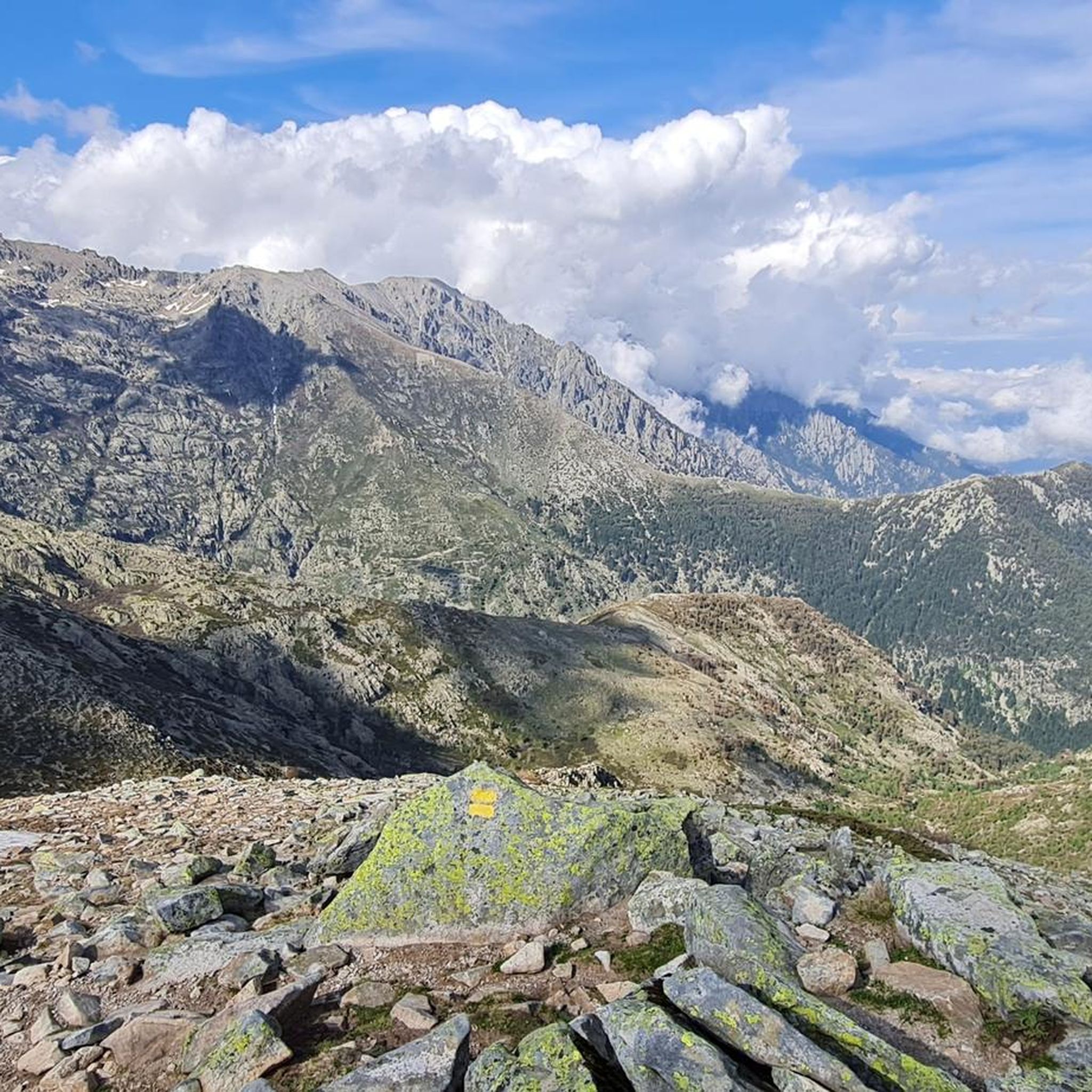
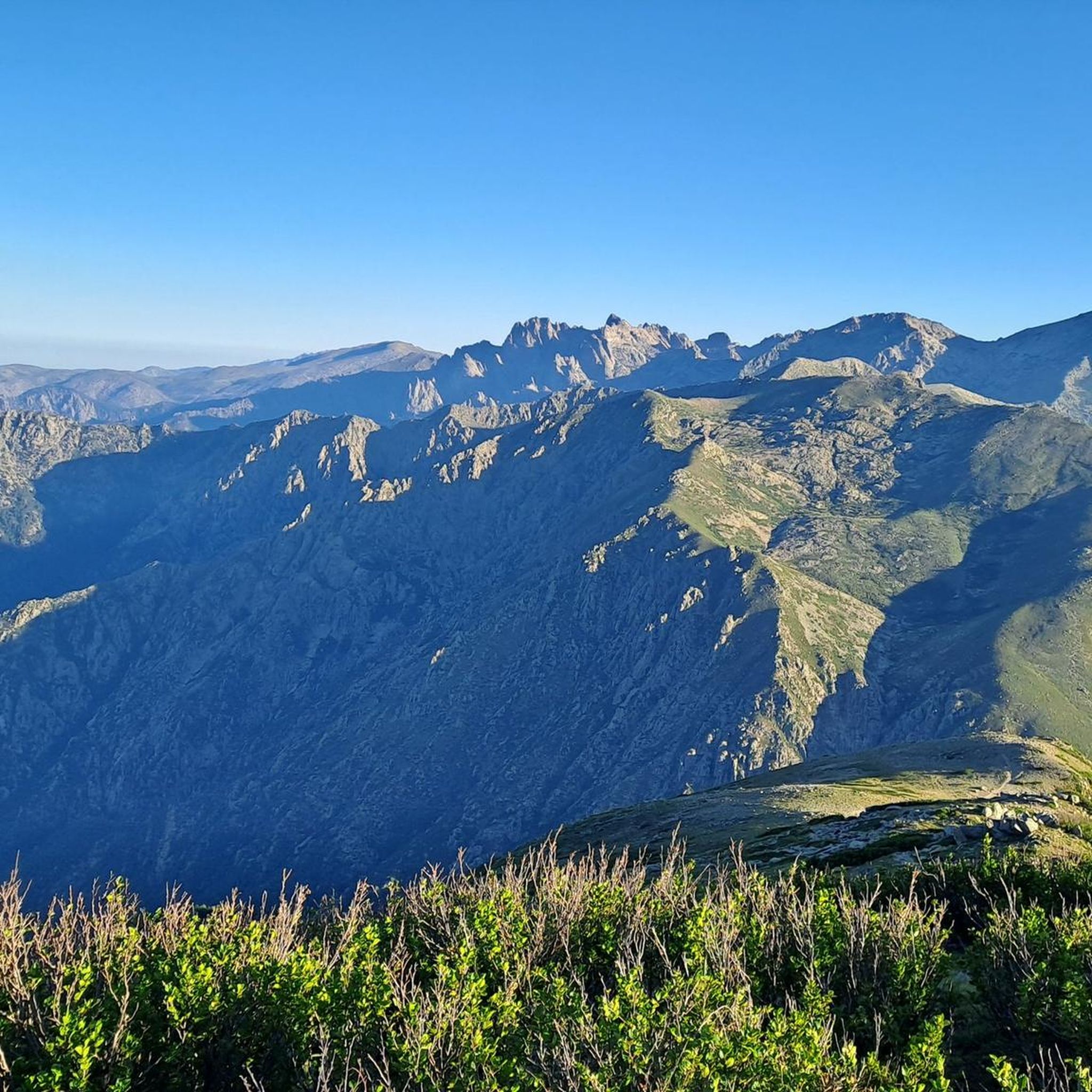
On the tour there are always views of the magnificent mountain world
0
0
Frequently Asked Questions
What is the general difficulty level of mountain bike trails around Pastricciola?
Mountain biking around Pastricciola is primarily suited for experienced riders. The terrain is characterized by challenging climbs, significant elevation changes, and rugged forested singletracks. Most of the routes listed, such as English Falls – Vizzavona Fort ruins loop from Col de Vizzavona and Vizzavona – Meli Waterfall loop from Vivario, are graded as difficult.
Are there any family-friendly mountain bike trails in Pastricciola?
Given the challenging nature of the terrain and the prevalence of difficult routes, Pastricciola is not typically recommended for beginner mountain bikers or families with young children seeking easy trails. The region's routes are designed for more experienced riders.
What is the typical length of mountain bike trails in this area?
The mountain bike trails around Pastricciola vary in length, generally ranging from approximately 18 miles (29 km) to over 40 miles (65 km). For example, the English Falls – Vizzavona Fort ruins loop from Col de Vizzavona is 18.3 miles (29.4 km), while the U Fium'Orbu – Cardo Pass loop from Tattone extends to 40.9 miles (65.8 km).
What kind of natural features or landmarks can I expect to see on the trails?
The trails often traverse dense forests, river valleys, and high mountain passes. You can encounter natural features like waterfalls, such as the one on the Vizzavona – Meli Waterfall loop from Vivario, and historical ruins. The region also features stunning mountain peaks like Monte Renoso and Monte Rotondo Summit, and beautiful lakes like Lac de Creno.
Are there any circular mountain bike routes available?
Yes, many of the mountain bike routes around Pastricciola are designed as loops. Examples include the English Falls – Vizzavona Fort ruins loop from Col de Vizzavona, the Vizzavona – Col de Sorba loop from Vizzavona, and the Erbajo Pass (920 m) – Stone Tower on Hilltop loop from Tattone.
What is the best time of year for mountain biking in Pastricciola?
The best time for mountain biking in Pastricciola is typically from late spring through early autumn (May to October). During these months, the weather is generally more stable, and the higher mountain passes are free of snow. Always check local weather forecasts before heading out, especially for routes at higher elevations.
What are the parking options for accessing mountain bike trails?
Parking for mountain bike trails in Pastricciola is generally available at the start points of routes, often in or near villages like Vizzavona or Tattone, or at specific mountain passes like Col de Vizzavona. As the region is mountainous, designated parking areas might be limited, so it's advisable to plan your starting point and check for available space beforehand.
What do other mountain bikers say about the trails in Pastricciola?
The mountain bike trails in Pastricciola are highly rated by the komoot community, with an average score of 3.6 stars from over 10 reviews. More than 70 mountain bikers have used komoot to explore the varied and challenging terrain, often praising the rugged environment and the rewarding climbs and descents.
Are there any trails that pass by cafes or places to refuel?
While the trails themselves often traverse remote, natural areas, some routes start or pass near villages like Vizzavona, which may offer cafes or small shops. It's always recommended to carry sufficient water and snacks, as amenities can be sparse along the more isolated sections of the trails.
Can I expect to see wildlife while mountain biking in Pastricciola?
Yes, as the trails wind through dense forests and mountainous terrain in central Corsica, there is a good chance of encountering local wildlife. Keep an eye out for various bird species, wild boar, and other native animals. Maintaining a respectful distance and not disturbing their natural habitat is important.
How many mountain bike trails are available around Pastricciola?
There are several mountain bike trails available around Pastricciola, with komoot featuring 6 distinct routes. These routes primarily cater to experienced riders due to their challenging nature and significant elevation changes.
Most popular attractions around Pastricciola

Get inspired with the komoot mobile app


Explore more
Browse the best MTB trails in other regions.
