The best gravel rides around Bombon
14
riders
4
rides
Gravel biking around Bombon offers routes through a landscape characterized by agricultural fields, river valleys, and sections of woodland. The terrain is generally gently rolling, with moderate elevation gains. Many routes utilize former railway lines, providing consistent surfaces for gravel biking. The region's network of paths allows for exploration of its rural charm and natural features.
Best gravel bike trails around Bombon
- The most popular gravel bike trail is Old railway – The Chemin des Roses loop from Verneuil-l'Étang,…
Last updated: July 3, 2026
4
riders
43.2km
02:24
220m
220m
Moderate gravel ride. Good fitness required. Mostly paved surfaces. Suitable for all skill levels.
4
riders
18.1km
00:59
100m
100m
Easy gravel ride. Great for any fitness level. Mostly paved surfaces. Suitable for all skill levels.

Sign up for free
1
riders
44.0km
02:35
300m
300m
Moderate gravel ride. Good fitness required. Mostly paved surfaces. Suitable for all skill levels.
Our route recommendations are based on thousands of hikes, rides, and runs completed by other people on komoot.
Start today with a free account
Your next adventure awaits.
Login or Signup
Tips from the Community

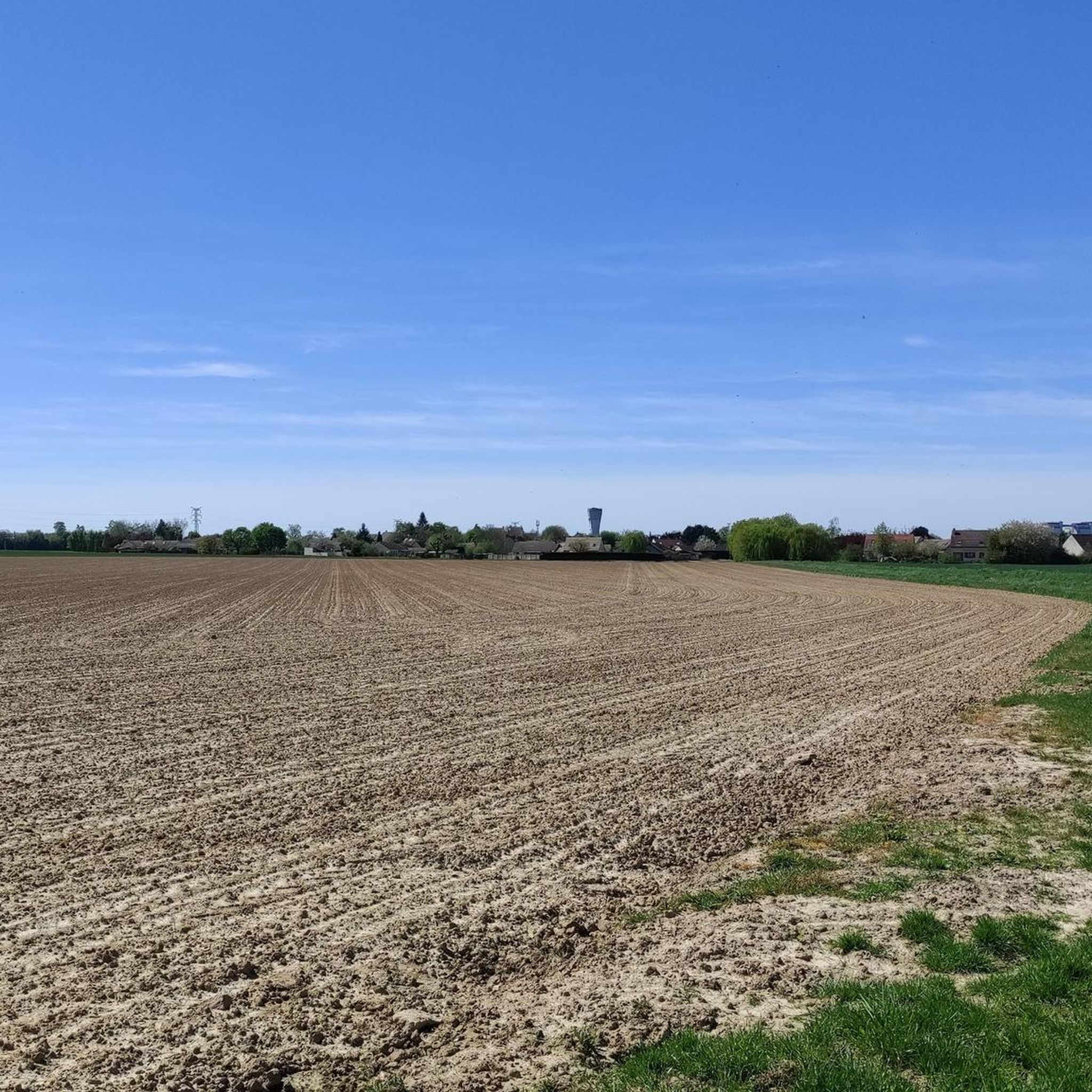
Quite a nice route, with a short stretch of track between the 19th and 22nd km
0
0

The origins of this imposing wayside cross are said to date back to the 17th century. Since then, it has been destroyed several times – including during the French Revolution – but has been rebuilt time and again. The crossing, the intersection of the cross's longitudinal and transverse beams, is designed as a closed circle, and the transverse beam bears the inscription "Croix de Calvaire." The name refers to Calvary, commemorating the crucifixion of Jesus Christ on Golgotha (this Aramaic word, like the Latin word "calvaire," means "place of skulls") near Jerusalem.
0
0


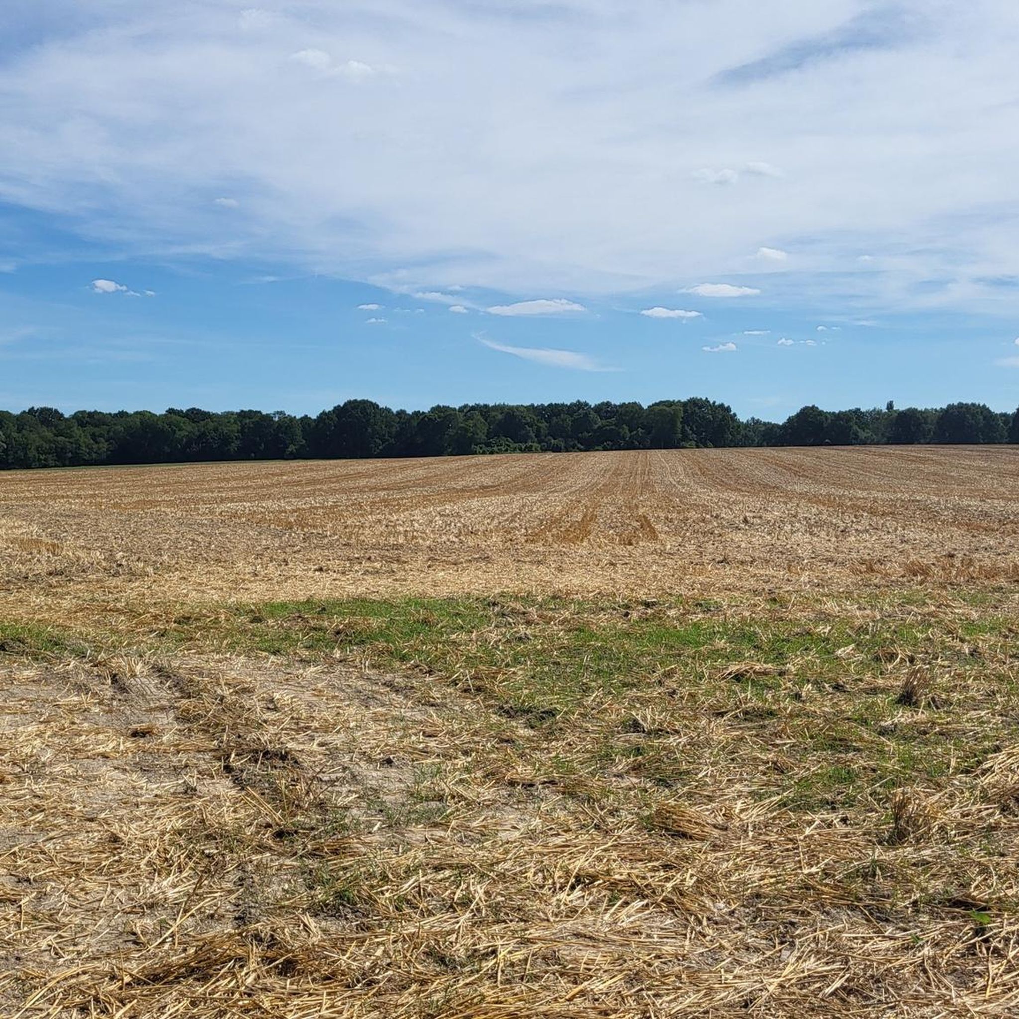
a long and quiet road (except on Sundays in summer when there are more people)
0
0
The origins of this imposing wayside cross are said to date back to the 17th century; it has been destroyed several times since – including during the French Revolution – but always rebuilt. The crossing, i.e. the intersection of the longitudinal and transverse beams of the cross, is designed as a closed circle, the transverse beam bears the inscription „Croix de Calvaire“. The name refers to Calvary Hill, in memory of the crucifixion of Jesus Christ on Golgotha (this Aramaic word means – just like Calvaire, derived from Latin – „skull place“) near Jerusalem.
2
0

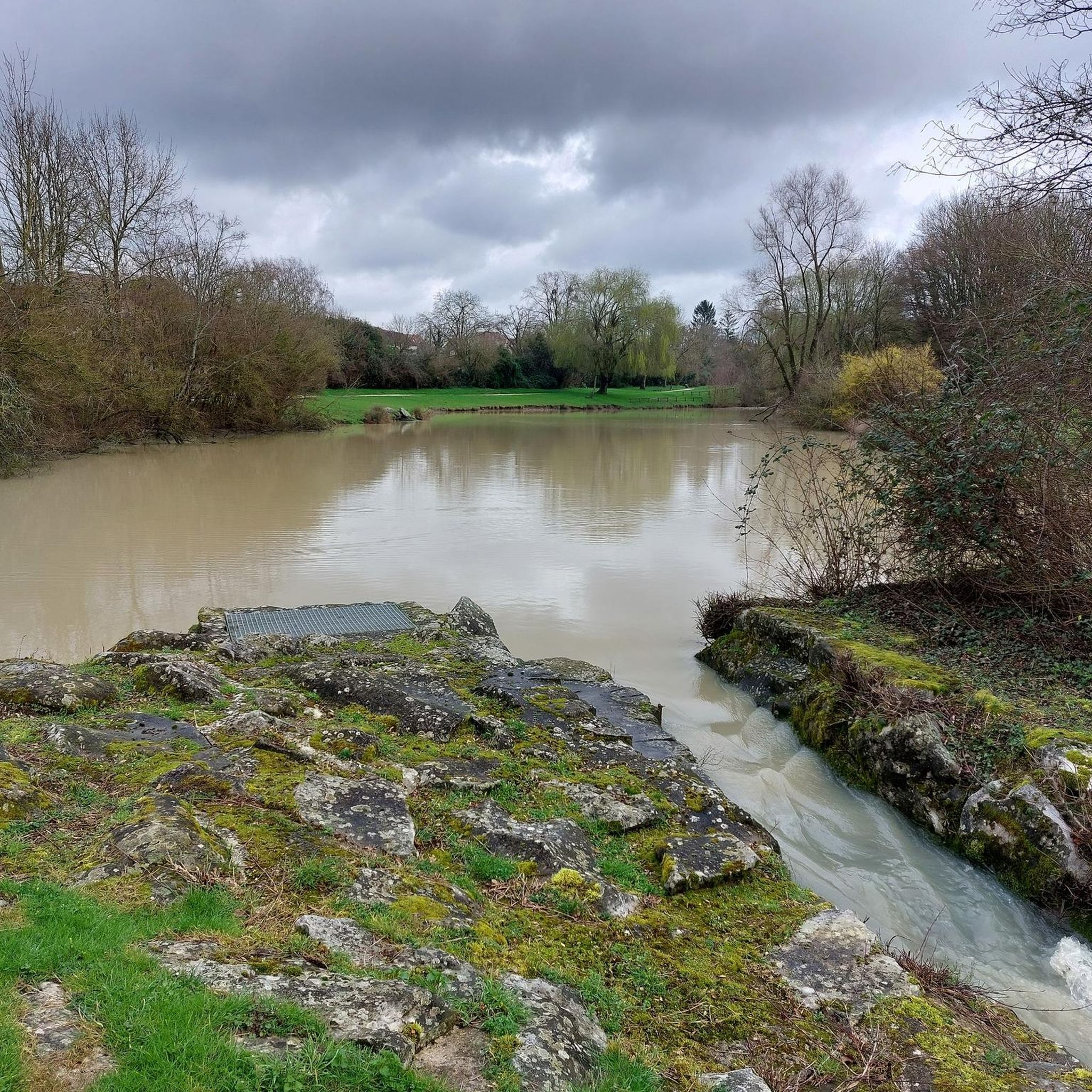
In the Yerres Valley, the Chemin des Roses is an opportunity for cyclists to stroll among walkers and horse riders to discover the region. Here, a bridge allows you to admire the river up close.
0
0

The Gros Fouteau road, in the heart of the managed biological reserve of Mont Ussy and Butte aux Aires, offers an immersion in unspoiled nature. This forest path winds through wild and varied landscapes, where century-old trees, such as the majestic Gros Fouteau, stand proudly. Here, you can discover the richness of the local biodiversity, with green clearings and magnificent viewpoints of the surrounding hills.
1
0

The Calvary Cross, in the Fontainebleau and Gâtinais Biosphere Reserve, is a prominent landmark, located on a high, rugged point, offering stunning views of the surrounding forest and countryside, and marking a historic pilgrimage route.
1
0
Frequently Asked Questions
How many gravel bike trails are available around Bombon?
There are 5 gravel bike routes documented around Bombon, all offering a moderate challenge. These trails provide a good variety for exploring the region's agricultural fields, river valleys, and woodlands.
What kind of terrain can I expect on gravel bike trails near Bombon?
The terrain around Bombon is generally gently rolling, characterized by agricultural fields, river valleys, and sections of woodland. Many routes utilize former railway lines, such as the Old railway – The Chemin des Roses loop from Verneuil-l'Étang, which provide smooth and consistent surfaces ideal for gravel biking.
Are there any loop gravel bike trails in Bombon?
Yes, all the gravel bike routes around Bombon are designed as loops. For example, you can explore the Calvary Cross – Calvary Cross loop from Sivry-Courtry, which takes you through the local countryside, or the Forest Trail Along the Seine loop from Sivry-Courtry for riverside scenery.
What are the typical distances and durations for gravel bike routes in Bombon?
Gravel bike routes in Bombon typically range from about 37 km (23 miles) to 48 km (30 miles). Most can be completed within 2.5 to 3.5 hours, depending on your pace. For instance, the Old railway – The Chemin des Roses loop from Verneuil-l'Étang is a longer option at 48.4 km, while the Pretty road along the Seine – Forest Trail Along the Seine loop from Sivry-Courtry is around 37 km.
What do other gravel bikers enjoy most about the trails in Bombon?
The area is highly rated by the komoot community, with an average score of 4.3 stars. Reviewers often praise the region's rural charm, the consistent surfaces provided by former railway lines, and the varied scenery of agricultural fields and river valleys.
Are there any historical landmarks or castles to see along the gravel bike routes?
Yes, the Bombon area is rich in historical sites. While riding, you might be near impressive landmarks such as Château de Vaux-le-Vicomte or Blandy‑les‑Tours Castle. The Chemin des Roses, a former railway line, is also a notable historical feature that many routes utilize.
Are the gravel bike trails in Bombon suitable for beginners or families?
The gravel bike trails around Bombon are generally of moderate difficulty with gently rolling terrain and moderate elevation gains, making them suitable for various skill levels. While not explicitly labeled 'easy' or 'family-friendly', the consistent surfaces of former railway lines can be more accessible for those new to gravel biking or families with older children.
Are there any challenging gravel bike routes in Bombon for experienced riders?
All listed routes in Bombon are rated as moderate. While they offer varied scenery and decent distances, they do not feature extreme elevation or highly technical sections. Riders looking for a longer, moderately challenging ride might enjoy the 48.4 km Old railway – The Chemin des Roses loop from Verneuil-l'Étang.
What is the best time of year for gravel biking in Bombon?
The region's gently rolling terrain and varied landscapes are enjoyable throughout the year. Spring and autumn offer pleasant temperatures and beautiful scenery, while summer provides longer daylight hours. Winter rides are also possible, though conditions may vary.
Are there any viewpoints or scenic spots along the gravel bike routes?
The routes traverse agricultural fields, river valleys, and woodlands, offering picturesque rural views throughout. The sections along the Seine, such as those found on the Forest Trail Along the Seine loop from Sivry-Courtry, provide particularly scenic riverside perspectives.
Can I access gravel bike trails in Bombon using public transport?
Some routes, like the Old railway – The Chemin des Roses loop from Verneuil-l'Étang, start from towns like Verneuil-l'Étang, which may have public transport connections. It's advisable to check local train or bus schedules to confirm accessibility to specific starting points.
Are there specific starting points for gravel bike trails with parking facilities?
While specific parking details are not provided for each route, trails often start from towns or villages like Verneuil-l'Étang or Sivry-Courtry. These locations typically offer public parking options, making it convenient to begin your ride.
Most popular attractions around Bombon

Get inspired with the komoot mobile app


Explore more
Browse the best Gravel rides in other regions.
