The best gravel rides around Panissières
4.5
(3)
20
riders
9
rides
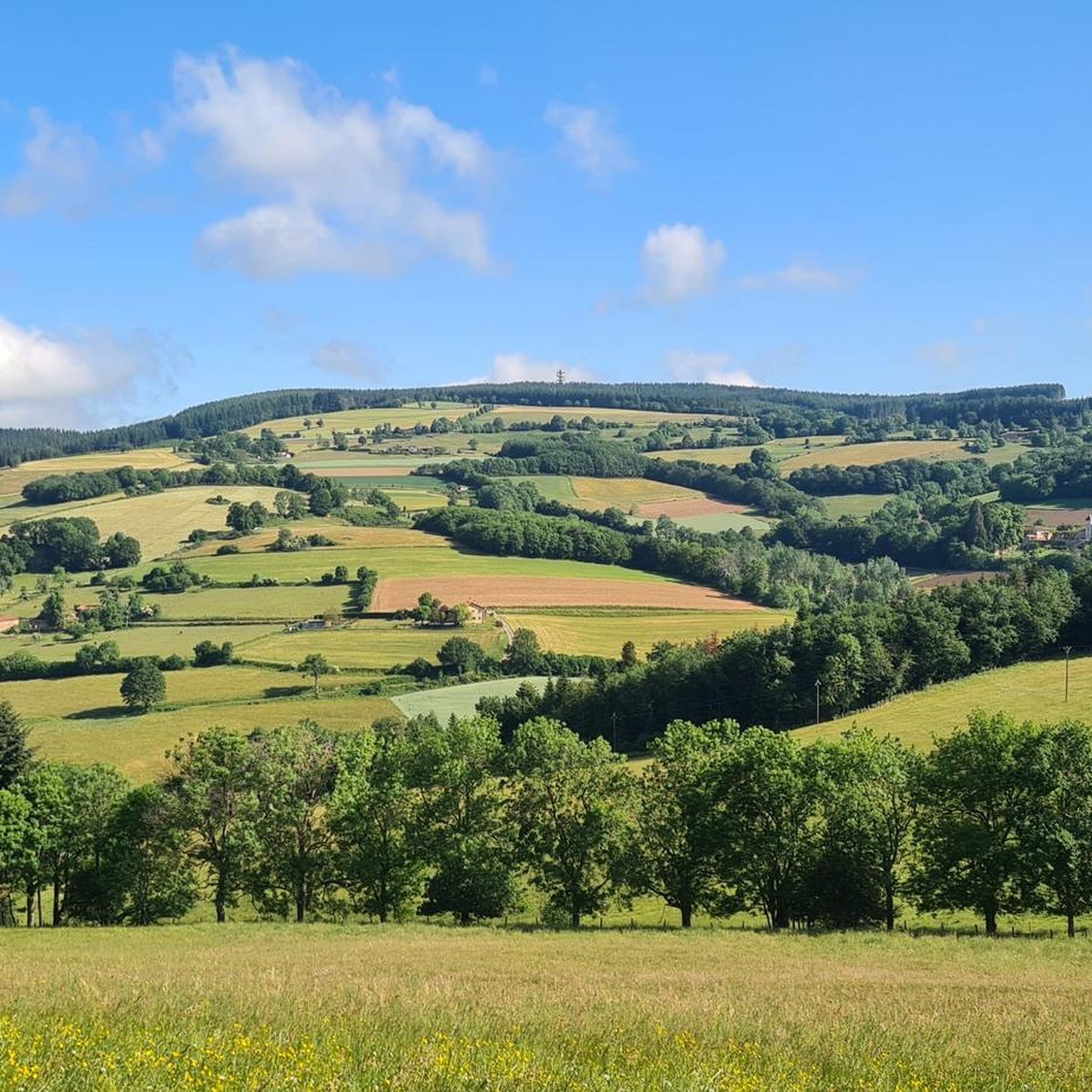
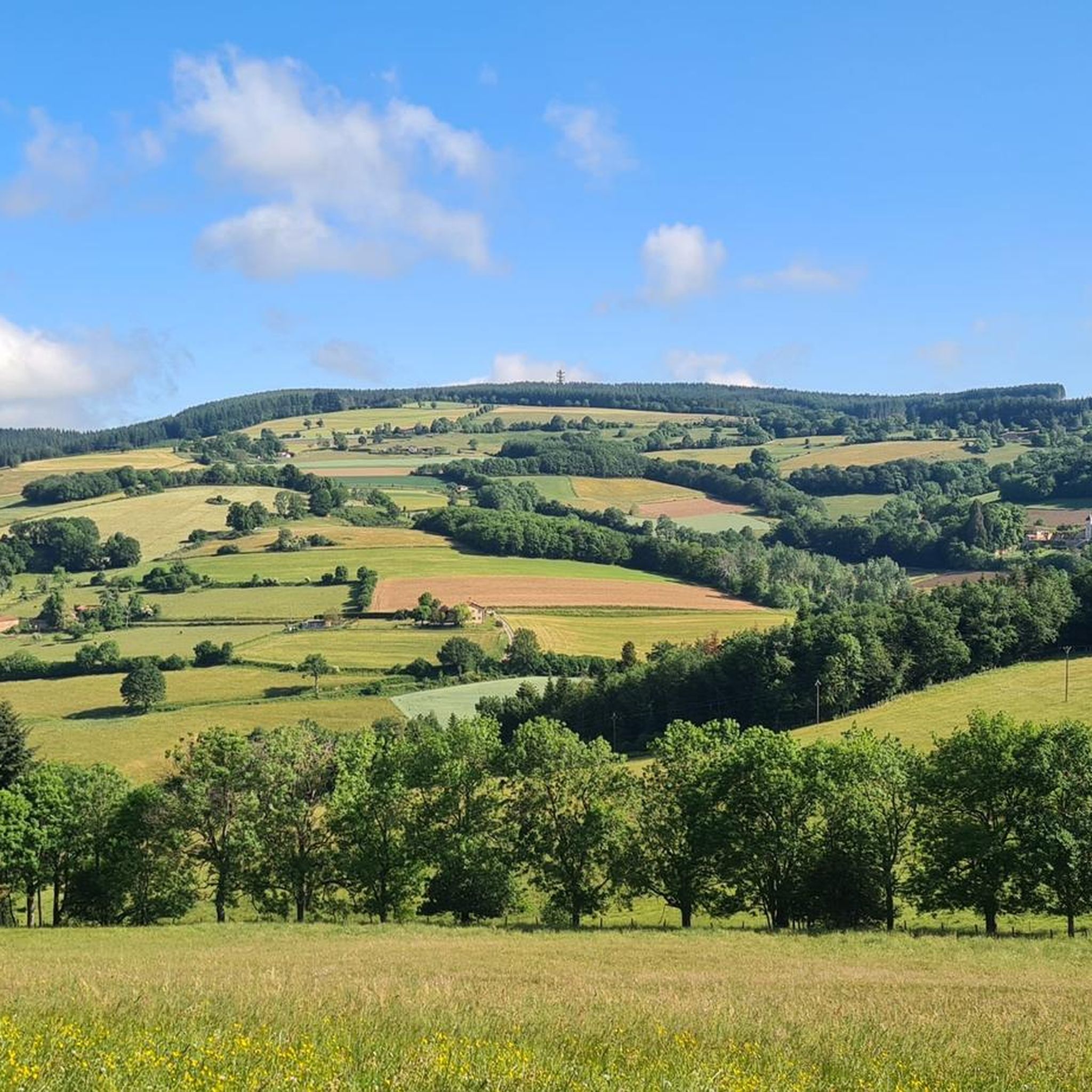
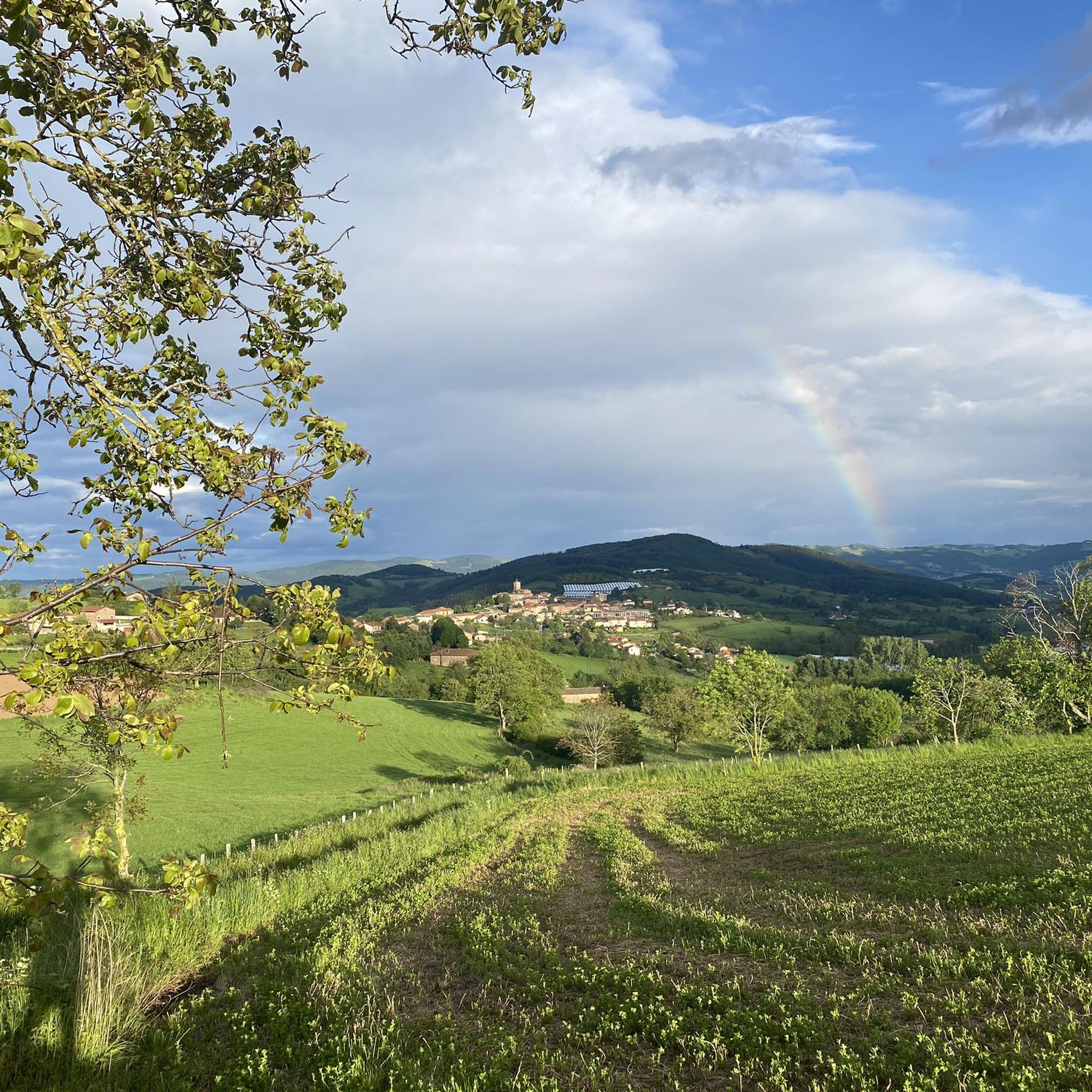
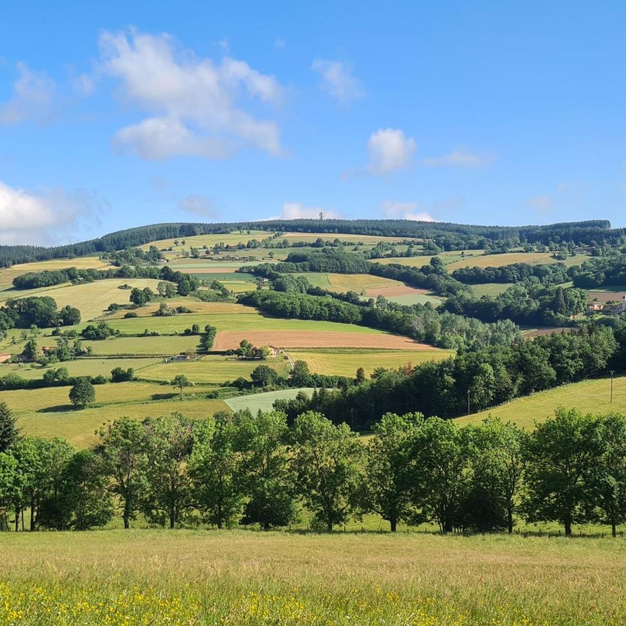
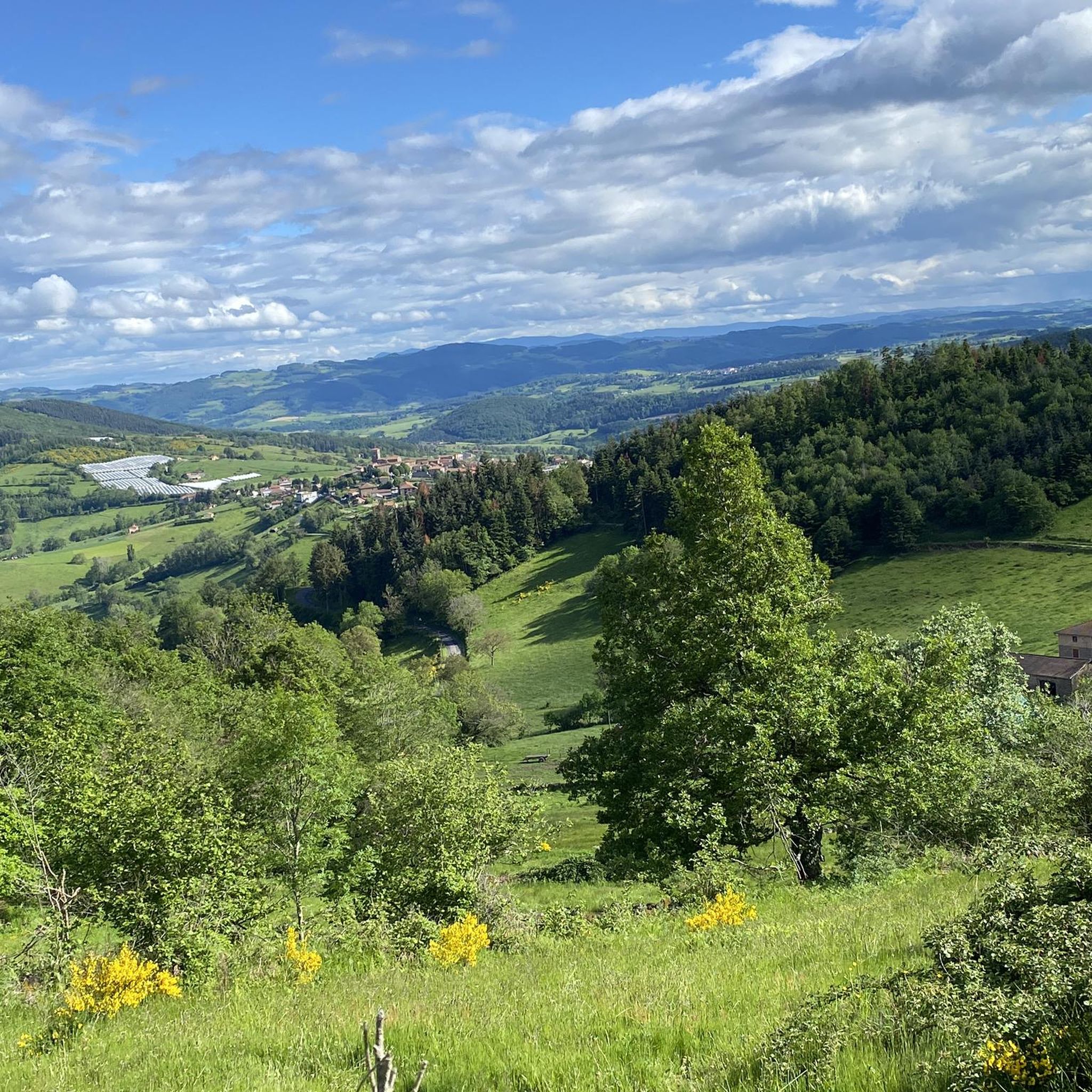
Gravel biking around Panissières offers diverse landscapes within the Forez region of Auvergne-Rhône-Alpes. The area features rolling hills, agricultural expanses, and wooded areas, providing varied terrain for exploration. Cyclists encounter varied elevation, ranging from 600 to 1000 meters, ensuring a dynamic riding experience with numerous climbs and descents. Routes often combine paved surfaces with well-maintained gravel forestry roads and doubletrack sections.
Best gravel bike trails around Panissières
- The most popular gravel bike trail is Matagrin Tower – Matagrin Tower loop…
Last updated: July 3, 2026
4.0
(1)
6
riders
74.4km
05:26
1,240m
1,240m
Hard gravel ride. Very good fitness required. Mostly paved surfaces. Suitable for all skill levels.
1
riders
38.2km
03:02
650m
650m
Hard gravel ride. Very good fitness required. Mostly paved surfaces. Suitable for all skill levels.

Sign up for free
2
riders
26.1km
02:23
680m
670m
Hard gravel ride. Very good fitness required. Mostly paved surfaces. Suitable for all skill levels.
5.0
(2)
2
riders
Hard gravel ride. Very good fitness required. Mostly paved surfaces. Suitable for all skill levels.
1
riders
Hard gravel ride. Good fitness required. You may need to push your bike for some segments of this route.
Get access to more routes and recommendations from other explorers.
Sign up for free
Already have an account?
Our route recommendations are based on thousands of hikes, rides, and runs completed by other people on komoot.
Start today with a free account
Your next adventure awaits.
Login or Signup
Tips from the Community

At the church you can take a wonderful rest and even borrow books to read.
0
0


Explore the Chapelle Saint-Bonnet, a historic treasure located between Saint-Clément-les-Places and Saint-Laurent-de-Chamousset. Dating from the 7th century and dedicated to Saint Bonnet, this captivating site features a unique Carolingian capital. An enriching stop on the Voie d’Aquitaine, ideal for history and hiking enthusiasts.
0
0
circuit with some slightly delicate passages but without great difficulty, a small part on the road but a very beautiful circuit to do.
0
0
very nice circuit with 2 difficult passages (lots of stones in the path) good physical conditions.
0
0
Frequently Asked Questions
What kind of terrain can I expect on gravel bike trails around Panissières?
The Monts du Lyonnais region around Panissières offers a dynamic mix of terrain. You'll encounter small roads, well-maintained gravel forestry tracks, and some doubletrack sections. The routes feature varied elevation, ranging from 600 to 1000 meters, ensuring numerous climbs and descents.
How challenging are the gravel bike routes in Panissières?
Gravel biking around Panissières is generally considered challenging. All five routes listed in this guide are rated as difficult, featuring significant elevation gains. For example, the Matagrin Tower – Matagrin Tower loop from Feurs includes over 1150 meters of ascent.
Are there any scenic viewpoints or landmarks along the gravel trails?
Yes, the region is known for its extensive panoramas and mountain passes. From higher elevations, especially around Mont Boussuivre and the Matagrin tower, you can enjoy far-reaching views that may even include Mont Blanc on clear days. Notable passes you might encounter include Col de la Croix Cazard (865 m) and Col de la Croix Paquet (598 m).
What do other gravel bikers enjoy most about the Panissières area?
The area is highly rated by the komoot community, with an average score of 4.5 stars. Riders often praise the challenging terrain, the rewarding panoramic views, and the mix of rural landscapes and diverse surfaces that make for an engaging gravel biking experience.
What is the best time of year to go gravel biking in Panissières?
The Monts du Lyonnais region is enjoyable across multiple seasons. Spring and autumn offer pleasant temperatures and vibrant scenery. Summer can be warm, but the elevated terrain provides some relief. Winter conditions can vary, with potential for snow or ice at higher elevations, so checking seasonal trail conditions is advisable.
Are there any loop routes available for gravel biking?
Yes, all the routes highlighted in this guide are loops, allowing you to start and finish at the same point. Examples include the challenging Matagrin Tower – Matagrin Tower loop from Feurs and the Gimond Dam – Chapelle Saint-Bonnet loop from Saint-Clément-les-Places.
How long are the gravel bike trails near Panissières?
The gravel bike trails in this guide vary in length. The longest is the Matagrin Tower – Matagrin Tower loop from Feurs at 68.9 km, while shorter options like the Chemin vtt fun – The Inns loop from Saint-Clément-les-Places are around 20.8 km.
Can I find cafes or pubs along the gravel bike routes?
While specific cafes or pubs directly on the trails are not detailed in the route information, Panissières and nearby villages like Feurs and Saint-Clément-les-Places offer amenities where you can find refreshments and places to eat before or after your ride.
Is there parking available at the gravel bike trailheads?
Many routes in the region, particularly those starting from towns like Feurs or Saint-Clément-les-Places, typically have public parking options available. It's advisable to check specific starting points for detailed parking information before your ride.
Are there any easier gravel biking options for beginners or families?
The routes currently featured in this guide are all rated as difficult due to significant elevation gain and varied terrain, making them more suitable for experienced gravel bikers. For beginners or families, it's recommended to look for flatter, less technical routes in the broader Monts du Lyonnais area or consider shorter sections of existing trails if conditions allow.
What are some other interesting places to explore near Panissières?
Beyond the cycling routes, the Monts du Lyonnais region offers charming villages and natural features. You can explore other mountain passes like Col des Cassettes (622 m) or visit the settlement of Montrottier, which offers a glimpse into the local character.
How much elevation gain can I expect on a typical gravel ride here?
The gravel routes around Panissières are characterized by substantial elevation changes. Even shorter routes, such as the Souzy fitness trail – Chapelle Saint-Bonnet loop from Saint-Clément-les-Places (23 km), involve around 450 meters of ascent, while longer ones can exceed 1100 meters.
Most popular routes around Panissières
Most popular attractions around Panissières

Get inspired with the komoot mobile app


Explore more
Browse the best Gravel rides in other regions.
