The best walks and hikes around Saint-Laurent-De-Céris
3.9
(8)
26
hikers
10
hikes
Hiking around Saint-Laurent-De-Céris offers exploration through a landscape characterized by rolling hills, verdant valleys, and extensive wooded areas within the Charente department of southwestern France. The terrain features varied topography, with altitudes ranging from 128 meters along the Sonnette river to a hill peak of 208 meters on a wooded plateau. The commune is part of the Charente river basin, with trails often following waterways like the Charente, Argent-Or, and Sonnette.
Best hiking trails around Saint-Laurent-De-Céris
- The most popular hiking…
Last updated: July 2, 2026
4.5
(2)
10
hikers
9.25km
02:26
80m
80m
Moderate hike. Good fitness required. Easily-accessible paths. Suitable for all skill levels.
4.0
(2)
4
hikers
12.8km
03:22
100m
100m
Moderate hike. Good fitness required. Easily-accessible paths. Suitable for all skill levels.

Sign up for free
5.0
(1)
1
hikers
10.3km
02:44
100m
100m
Moderate hike. Good fitness required. Easily-accessible paths. Suitable for all skill levels.
4.0
(1)
3
hikers
3.54km
00:57
40m
40m
Easy hike. Great for any fitness level. Easily-accessible paths. Suitable for all skill levels.
3
hikers
Moderate hike. Good fitness required. Easily-accessible paths. Suitable for all skill levels.
Get access to more routes and recommendations from other explorers.
Sign up for free
Already have an account?
Our route recommendations are based on thousands of hikes, rides, and runs completed by other people on komoot.
Start today with a free account
Your next adventure awaits.
Login or Signup
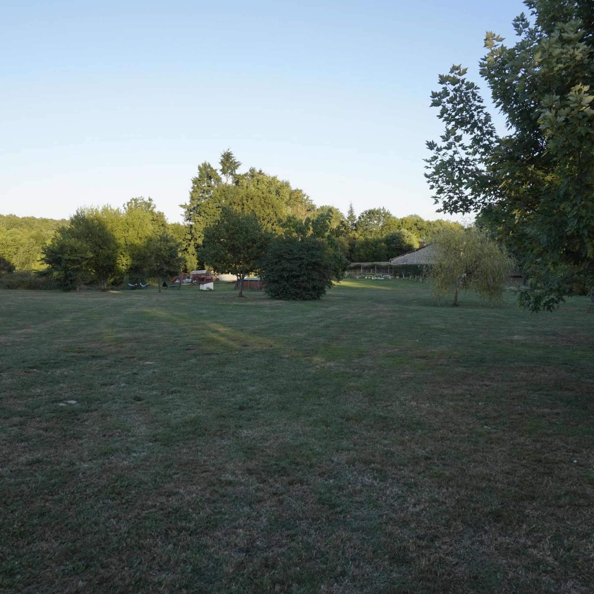

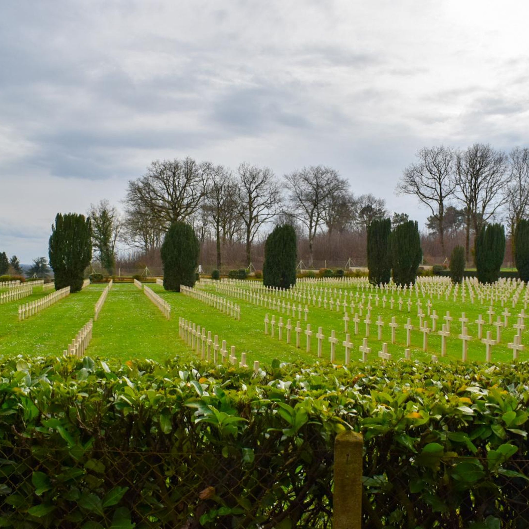

Tips from the Community

A wonderful piece of nature
0
0
Frequently Asked Questions
How many hiking trails are available in Saint-Laurent-De-Céris?
Saint-Laurent-De-Céris offers a selection of 9 hiking trails, ranging from easy strolls to more moderate excursions, providing diverse options for exploring the region's natural beauty.
What kind of terrain can I expect on hikes around Saint-Laurent-De-Céris?
The terrain around Saint-Laurent-De-Céris is characterized by rolling hills, verdant valleys, and extensive wooded areas like the Bois de la Bachellerie. You'll find varied topography, with altitudes ranging from 128 meters along the Sonnette river to a peak of 208 meters on wooded plateaus. Trails often follow riverbanks and wind through prairies and forests, offering a mix of gentle slopes and some more challenging ascents.
Are there any easy hiking options suitable for families or casual walkers?
Yes, Saint-Laurent-De-Céris has several easy hiking options. For example, the Château de Chambes loop from Roumazières-Loubert is an easy 6.4 km trail, and the Fosse de Gâte-Bourse n°5 loop from Cellefrouin is another easy 6.6 km route, both suitable for a relaxed walk through varied landscapes.
Can I bring my dog on the trails in Saint-Laurent-De-Céris?
While specific regulations for dogs on trails are not universally posted, generally, dogs are welcome on most hiking trails in rural France, provided they are kept under control, especially in areas with livestock or wildlife. Always ensure your dog is on a leash and that you clean up after them to respect other hikers and the natural environment.
Are there any circular hiking routes in the area?
Yes, many of the trails around Saint-Laurent-De-Céris are circular, allowing you to start and end at the same point. Examples include the Exercise Bench by the Stream loop from Saint-Laurent-de-Céris and the Château de Chambes – Motte Féodale de Loubert loop, which offer convenient exploration without needing to retrace your steps.
What are some notable natural features or landmarks I might encounter on a hike?
Hikers can discover a variety of features. Many trails lead along the Charente, Argent-Or, and Sonnette rivers, offering scenic views and the chance to find historical fountains. You might also encounter the Château de Chambes or explore the extensive woodlands like the Bois de la Bachellerie, known for its wildlife.
Is there public transport access to the trailheads in Saint-Laurent-De-Céris?
Public transport options directly to specific trailheads within Saint-Laurent-De-Céris can be limited, as is common in many rural French communes. It is generally recommended to travel by car to access the starting points of most hikes. Some routes, like the Château de Chambes – Motte Féodale de Loubert loop, start near a former railway station, but current public transport links should be verified locally.
Where can I park my car when hiking in Saint-Laurent-De-Céris?
Parking is typically available near the starting points of the trails, often in village centers or designated areas. For routes like the Exercise Bench by the Stream loop from Ambernac or the Fosse de Gâte-Bourse n°5 loop from Cellefrouin, you can usually find parking in the respective villages or at specific trail access points.
What is the best time of year to go hiking in Saint-Laurent-De-Céris?
The region is pleasant for hiking during spring, summer, and autumn. Spring offers lush greenery and blooming wildflowers, while autumn provides beautiful foliage. Summer is also suitable, especially for shaded woodland trails, though it can be warmer. The varied topography ensures that trails are accessible for much of the year.
What do other hikers say about the trails in Saint-Laurent-De-Céris?
The trails in Saint-Laurent-De-Céris are highly rated by the komoot community, with an average score of 3.8 stars from over 6 reviews. Hikers often praise the quiet woodlands, the scenic river valleys, and the well-maintained paths that offer a peaceful escape into nature.
Are there opportunities to see wildlife while hiking?
Yes, the extensive wooded areas, such as the Bois de la Bachellerie, are noted for their significant wildlife. Hikers often have opportunities for nature observation, encountering various birds, small mammals, and diverse flora, especially in the quieter sections of the trails.
What is the typical duration for hikes in this region?
Hikes in Saint-Laurent-De-Céris vary in duration depending on the route and your pace. Easy trails like the Fosse de Gâte-Bourse n°5 loop can be completed in under 2 hours, while moderate routes such as the Exercise Bench by the Stream loop from Saint-Laurent-de-Céris might take around 2.5 to 3 hours. Longer routes, like the Château de Chambes – Motte Féodale de Loubert loop, can extend to 4 hours or more.
Most popular routes around Saint-Laurent-De-Céris

Get inspired with the komoot mobile app


Explore more
Browse the best Hikes in other regions.
