The best gravel rides around Moutiers-Sur-Le-Lay
4.5
(4)
29
riders
4
rides
Gravel biking around Moutiers-Sur-Le-Lay features routes primarily through the flat, agricultural landscapes of the Vendée region. The terrain is characterized by river valleys, such as the Lay and Yon, and historic canal paths, offering generally low elevation gains. These routes often connect small towns and rural areas, providing a mix of paved and unpaved surfaces suitable for gravel bikes. The region also includes plains and groves, part of the "bocage vendéen," offering varied scenery for exploration.
Best gravel bike trails…
Last updated: July 15, 2026
4.5
(4)
11
riders
32.1km
01:51
30m
30m
Easy gravel ride. Great for any fitness level. Mostly paved surfaces. Suitable for all skill levels.
4
riders
46.6km
02:49
100m
100m
Moderate gravel ride. Good fitness required. Mostly paved surfaces. Suitable for all skill levels.

Sign up for free
3
riders
46.5km
03:27
390m
390m
Moderate gravel ride. Good fitness required. Mostly paved surfaces. Suitable for all skill levels.
2
riders
39.7km
03:02
330m
330m
Moderate gravel ride. Good fitness required. Mostly paved surfaces. Suitable for all skill levels.
2
riders
34.0km
02:33
290m
290m
Moderate gravel ride. Good fitness required. Mostly paved surfaces. Suitable for all skill levels.
Our route recommendations are based on thousands of hikes, rides, and runs completed by other people on komoot.
Start today with a free account
Your next adventure awaits.
Login or Signup
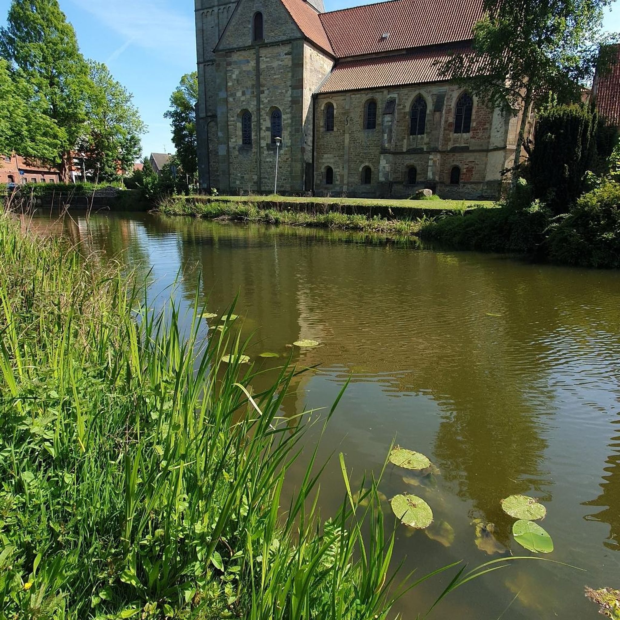
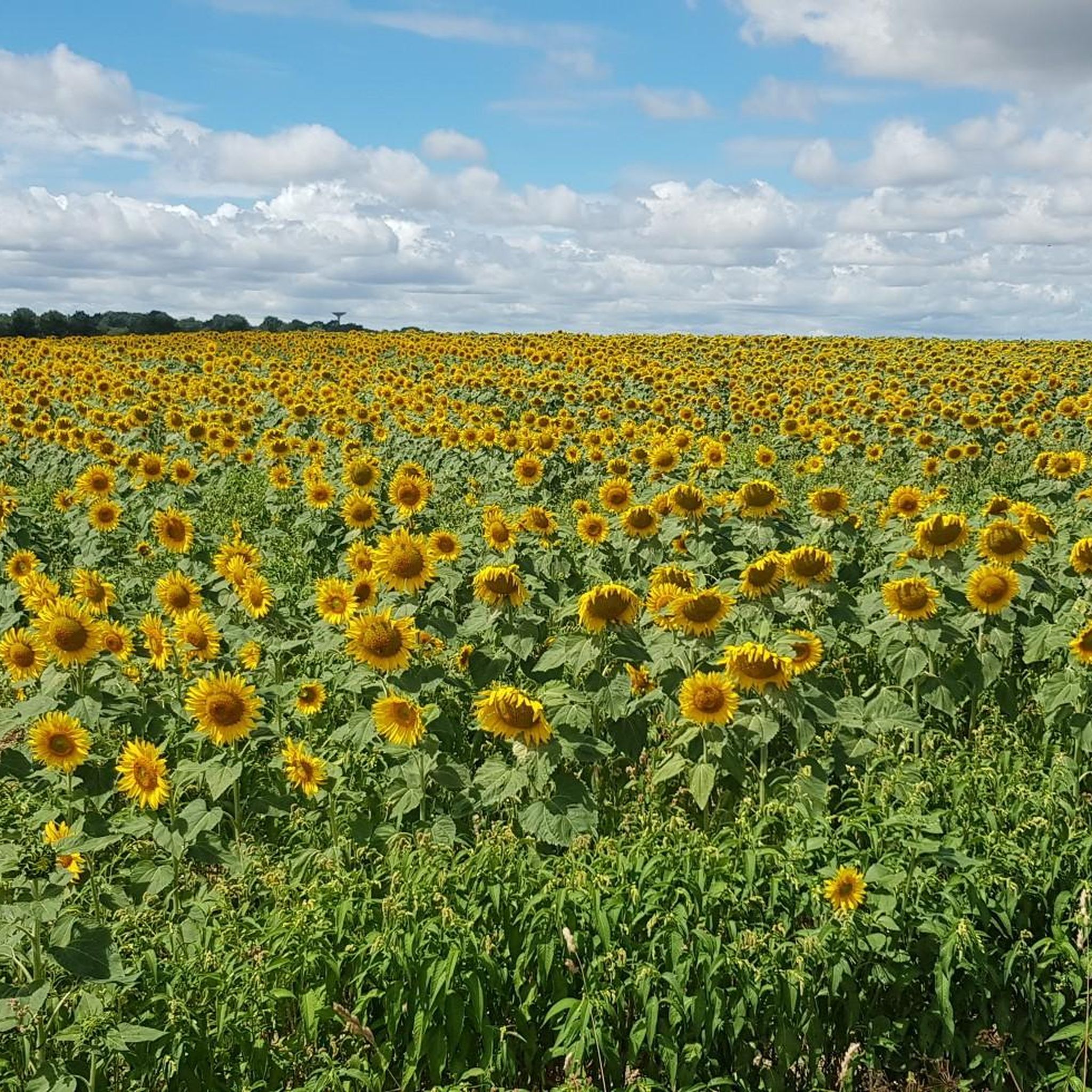
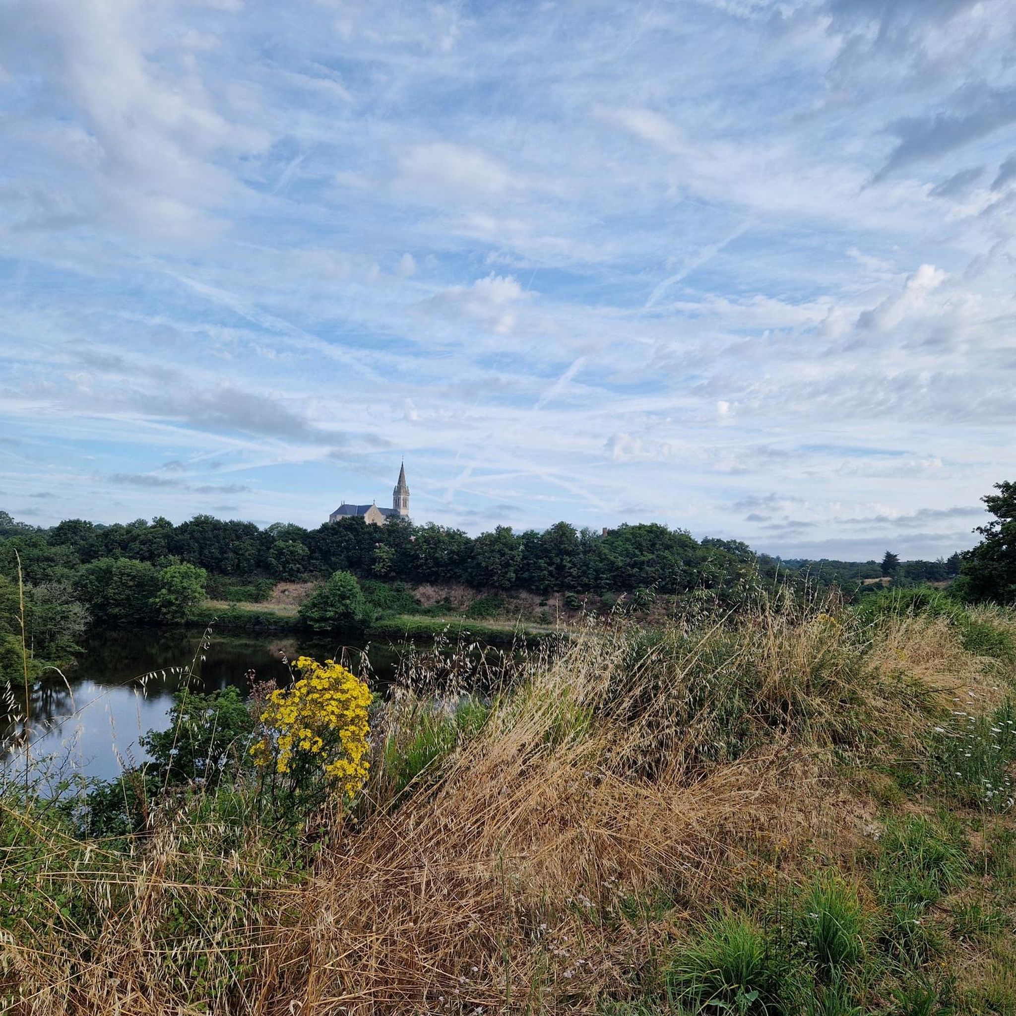

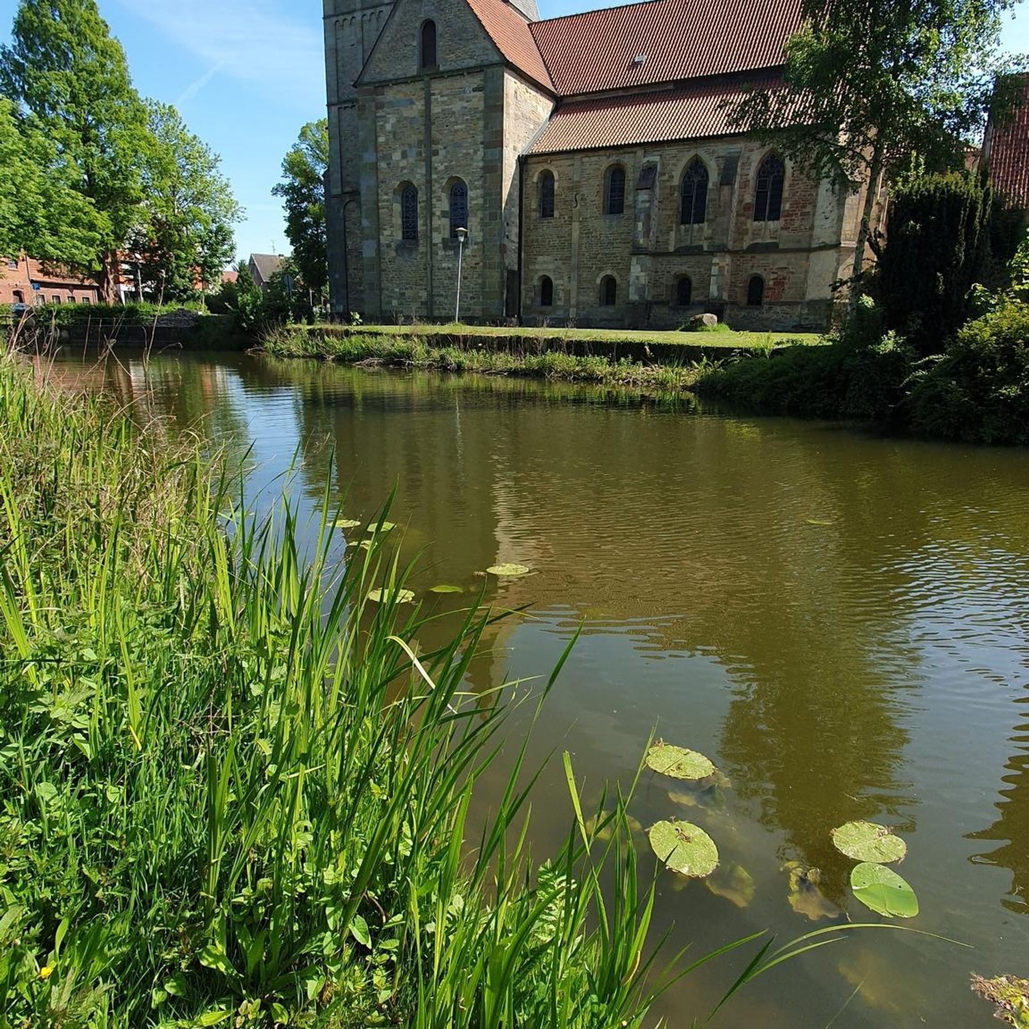
Tips from the Community

I took this trail 2 days ago. The trail is in a deplorable state and borderline dangerous. Impossible to look at the scenery as you have to concentrate so much on the path to avoid falling or getting a wheel stuck in the holes.
0
0

Trail in catastrophic condition. No effort to promote cycle tourism in the region
1
0

The first section of the Luçon Canal, heading south, is uncovered; we are on the dike. The section from Triaize to Luçon is wilder. A country road then a path leads between crops.
0
0

A narrow but sturdy wooden bridge to cross the river, suitable for pedestrians and cyclists, safe and with beautiful views.
0
1
This picturesque village is a perfect place for a break and refreshments. There are several restaurants and a nice café Tea room "Les Rives Enchan'thé just after the bridge. (The café is open every day from 1:30 p.m. to 7 p.m. except Sunday and Monday).
0
0

When the 1st Cavalry Dragon arrived in the town of Luçon ordered by Georges Clemenceau in 1910, the army required a supply of 70 liters of water per day, per man, and per horse, i.e. for 630 men and 750 horses a daily need of nearly 100 m3 of water. Thus, in 1912, at the height of the boom in reinforced concrete construction, a water tower was erected near the barracks. Originally composed of a parallelepiped tank of 110 m3, the work took on a monumental form when an agreement was made between the city and the war administration in order to allow the people of Luçon to also benefit from a distribution of potable water. The capacity of the tank then increases to 500 m3. The water tower measures 25 meters high on a base of 220 m² and even had official accommodation. The water tower with the adjoining electrical factory which made it possible to operate it (factory powered by coal from Faymoreau) made Luçon a city at the cutting edge of modernity with running water and electricity. . However, in 1961 the water tower was decommissioned, and it gradually deteriorated due to lack of maintenance. In 1991, the reinforced concrete monument was threatened with demolition, but by a decree of February 10, 1992 it was automatically classified as a historic monument, in order to allow its preservation. It now stands as a witness to early 20th century architecture consecrated by the appearance of reinforced concrete, and offers a light and astonishing silhouette for a water tower with its late art deco style and ceramic flourishes. . On the main facade, two cast iron lion faces had an orange lamp. This monument was to be supplemented by a lighthouse which was never completed.
0
0
The origins of the city of Luçon are linked to port activity dating back to the early Middle Ages, when the city was located on the edge of the Gulf of Pictons before the drying up of the Marais Poitevin. Luzon was then a fortified town, whose ramparts, protected by water moats, can be seen in the layout of the streets surrounding the town centre. Throughout the 19th century, the commercial activity of the port of Luçon with northern Europe in particular, which for a time even made it the third largest grain port in France, contributed to the enrichment of the city. This activity stopped in the 20th century with the silting of the canal which connected the city to the coast. But Luzon is best known for its religious status. From the 7th century, the foundation of a monastery which was destroyed by the Viking invasions made it the spiritual center of Bas-Poitou and the town became the seat of the bishopric in the 14th century. In 1608, a certain Armand Jean du Plessis was appointed Bishop of Luçon. Noting the sad state of the city ravaged during the Wars of Religion, he described the region as "the ugliest bishopric in France, the dirtiest and most disagreeable" (especially in order to justify his request for subsidies from the ecclesiastical authorities). endeavored from then on to reorganize the diocese which he left in 1623 to put himself at the service of the king, after a long ascent to the throne.This bishop of Luçon, with remarkable intellectual qualities, ended up becoming the principal Minister of Louis XIII, and remains known under the name of “Cardinal of Richelieu.” The history of the city remains intrinsically linked to the figure of Richelieu who officiated in this cathedral. Begun in 1091, the cathedral was initially in the Romanesque style. The portal of the north transept remains from this period. But for the most part, the building (the nave, the choir, the cloister) that we see now was rebuilt several times in the Gothic style. During the wars of religion, the church was repeatedly ransacked. The high openwork neo-Gothic spire is a splendid romantic fantasy according to 19th century taste. It peaks at 85 m and gives the cathedral the silhouette we know today. The city center of Luçon also offers other historical and religious monuments.
0
0
Frequently Asked Questions
How many gravel bike trails are available around Moutiers-Sur-Le-Lay?
There are currently 5 gravel bike routes available on komoot for the Moutiers-Sur-Le-Lay area, offering a variety of experiences through the region's flat, agricultural landscapes and river valleys.
Are there any easy gravel bike trails suitable for beginners in Moutiers-Sur-Le-Lay?
While most routes are moderate, beginners can enjoy the relatively flat terrain. The Luçon Canal – Portes du Chapître loop from Luçon is a good starting point, offering a 19.9-mile (32.1 km) ride along the historic canal with minimal elevation gain.
What are the options for longer distance gravel routes near Moutiers-Sur-Le-Lay?
For those seeking a longer ride, the Tour of Sainte-Hermine loop from La Réorthe is a challenging 38.5-mile (62 km) route. Another excellent option is the PERREAU MILL – Railway Bridge loop from Saint-Florent-des-Bois, which covers 28.9 miles (46.5 km) and offers varied terrain.
Are there any family-friendly gravel cycling routes in the area?
The routes around Moutiers-Sur-Le-Lay, characterized by canal paths and rural roads, are generally suitable for families looking for a relaxed ride. The low elevation gains make many sections accessible, especially those along the canals. Consider the Luçon Canal – Portes du Chapître loop from Luçon for a pleasant family outing.
What kind of terrain can I expect on gravel bike trails in Moutiers-Sur-Le-Lay?
The terrain is primarily flat, traversing agricultural landscapes, river valleys like the Lay and Yon, and historic canal paths. You'll encounter a mix of paved and unpaved surfaces, making it ideal for gravel bikes. Elevation gains are generally low, providing a smooth riding experience.
Are there any circular gravel bike routes around Moutiers-Sur-Le-Lay?
Yes, all the gravel bike routes listed for Moutiers-Sur-Le-Lay are circular loops. This includes popular options like the Canal de Luçon – Porte des Portes loop from Luçon and the Yon Footbridge – Charming town center loop from Mareuil-sur-Lay-Dissais, allowing you to start and finish at the same point.
What are some interesting places to explore or landmarks along the gravel routes?
Many routes pass through or near charming towns and historical sites. You might encounter highlights such as the Saint-Sauveur Church of Mareuil-sur-Lay, the serene Marillet Lake, or the impressive Luçon Cathedral. The Charming town center of Mareuil-sur-Lay-Dissais is also a pleasant stop.
What is the best time of year for gravel biking in Moutiers-Sur-Le-Lay?
The region generally experiences a mild climate. Spring and autumn offer pleasant temperatures for cycling, with less chance of extreme heat or cold. While winters can be damp, the low elevation and well-drained canal paths often remain rideable, though appropriate gear is recommended.
What do other gravel bikers enjoy most about the routes in Moutiers-Sur-Le-Lay?
The komoot community rates the routes highly, with an average score of 4.0 stars. Riders often praise the peaceful rural settings, the well-maintained canal paths, and the opportunity to connect small towns and explore the agricultural heartland of the Vendée at a relaxed pace.
Are there any advanced or difficult gravel bike routes for experienced riders?
Yes, for experienced riders seeking a challenge, the Tour of Sainte-Hermine loop from La Réorthe is classified as difficult. This route covers a significant distance of 38.5 miles (62 km) and features more elevation gain compared to other local trails, providing a more demanding ride.
Is parking readily available near the gravel bike trails?
Given the rural nature of the area and the starting points often being in or near small towns like Luçon, Mareuil-sur-Lay-Dissais, or La Réorthe, you can typically find public parking in village centers or designated areas. It's advisable to check specific starting points for the most convenient parking options.
Most popular routes around Moutiers-Sur-Le-Lay
Most popular attractions around Moutiers-Sur-Le-Lay

Get inspired with the komoot mobile app


Explore more
Browse the best Gravel rides in other regions.
