The best gravel rides around Mons
4.0
(3)
21
riders
5
rides
Gravel biking around Mons offers diverse landscapes, from natural parks to river valleys and forest massifs. The region features varied terrain, including both challenging ascents and panoramic trails, suitable for different fitness levels. Cyclists can explore routes traversing the Parc Naturel des Plaines de l'Escaut and the tranquil Escaut Valley. The vast Raismes-Saint-Amand-Wallers forest massif also provides shaded routes, contributing to the area's natural appeal.
Best gravel bike trails around Mons
- The most popular gravel bike trail is Abbaye de…
Last updated: August 25, 2026
16
riders
74.4km
04:57
610m
610m
Hard gravel ride. Very good fitness required. Mostly paved surfaces. Suitable for all skill levels.
2
riders
61.5km
03:55
420m
420m
Moderate gravel ride. Good fitness required. Mostly paved surfaces. Suitable for all skill levels.

Sign up for free
1
riders
11.7km
00:51
140m
140m
Easy gravel ride. Great for any fitness level. Mostly paved surfaces. Suitable for all skill levels.
3.0
(1)
1
riders
43.9km
02:49
280m
280m
Moderate gravel ride. Good fitness required. Mostly paved surfaces. Suitable for all skill levels.
5.0
(2)
1
riders
43.0km
02:45
170m
170m
Moderate gravel ride. Good fitness required. Mostly paved surfaces. Suitable for all skill levels.
Our route recommendations are based on thousands of hikes, rides, and runs completed by other people on komoot.
Start today with a free account
Your next adventure awaits.
Login or Signup




Tips from the Community

The Chaniers ferry (Charente-Maritime) is one of the last traditional river ferries still in operation in France. It allows crossing the Charente River between Chaniers and Courcoury, a few kilometers downstream from Saintes. A crossing used for centuries History of the Chaniers ferry The ferry crossing at Chaniers is very old: it dates back to the Middle Ages. In the mid-17th century, it was already an important crossing point on the Charente. It was not only used to cross the river: it also allowed residents to access the meadows on the other side, particularly for agricultural activities. In the early 20th century, the Chaniers ferry was part of a much larger network of crossings on the Charente. In 1909, thirteen ferries were still recorded in Charente-Inférieure, including the one in Chaniers. Ferries were essential at the time before the proliferation of bridges. Why "chain ferry"? The principle consists of holding the ferry on a chain connecting the two banks. The ferryman uses this chain to move the boat forward and keep it on its course despite the current. In Chaniers, the current ferry is motorized, unlike the ferry in Dompierre-sur-Charente, which is operated manually. The Tourist Office, however, still describes it as a "chain ferry," and the municipality as the traditional crossing method connecting Chaniers to Courcoury. The ferry today The crossing takes place between Le Communal in Chaniers and the Courcoury bank. It is free and can transport pedestrians, cyclists, and motorized vehicles. Its operation depends in particular on the flow of the Charente River. The municipality of Chaniers officially presents "the port of Chaniers and its chain ferry" as an element of its local heritage. Important point: I am correcting my previous message: the Chaniers ferry is not simply a "19th-century ferry." The crossing has been attested since the Middle Ages; it is its mode of operation and its equipment that have evolved over the centuries.
0
0

Hidden through the alleys are some pretty graphs!
2
0

I really enjoyed this ride. I’m 46, I did it on a 40 year old road bike, it’s more suited to a cyclocross bike!
1
0
Magnificent Graff' seen during a walk.
1
0

Magnificent We can also have a picnic
0
0

A typical village in this region, slightly dilapidated but very charming.
0
0

A must-see visit alongside this abbey on a magnificent circuit
0
0
Very pretty wash house and fountain in a small typical village very renowned for its potters from other times
1
0
Frequently Asked Questions
How many gravel bike trails are available around Mons?
There are currently 5 curated gravel bike trails around Mons available on komoot, offering a range of experiences from easy loops to more challenging long-distance routes.
What kind of terrain can I expect on gravel bike trails near Mons?
The Mons region offers diverse terrain ideal for gravel cycling. You can expect routes traversing natural parks like the Parc Naturel des Plaines de l'Escaut, tranquil river valleys such as the Escaut Valley, and extensive forest massifs like the Raismes-Saint-Amand-Wallers forest. This mix includes both demanding ascents and panoramic trails, with surfaces varying from paved paths to forest trails.
Are there any easy gravel bike trails suitable for beginners or families?
Yes, there is at least one easy gravel bike trail. For a more relaxed ride, consider the Chêne de François 1er loop from Richemont, which is 11.7 km long and takes about an hour to complete. The region also offers moderate routes with predominantly paved surfaces, suitable for various skill levels.
Are there any challenging gravel bike routes for experienced riders?
Absolutely. For experienced riders seeking a challenge, the Abbaye de Fontdouce – Mill on the Antenne River loop from Richemont is a difficult 77.9 km trail with significant elevation gain, typically taking over 6 hours. Some routes, like the 'Borinage and Haut-Pays Loop' mentioned in regional research, are considered 'hard gravel rides' and may require good fitness.
What natural features or landmarks can I see along the gravel bike trails?
Many gravel routes around Mons incorporate scenic natural features and historical landmarks. You might encounter the tranquil Hyon Waterfall and Ponds, explore the Bois de Baudour forest, or ride along the Grand Large of Mons, a 40-hectare artificial lake. Some routes also pass by the impressive Old Canal du Centre Boat Lifts, a UNESCO World Heritage site.
Are there any historical sites or attractions accessible from the gravel routes?
Yes, several historical sites are close to or integrated into the gravel routes. You can find highlights such as Abbaye de Fontdouce, Saint-Brice Church, and Château de Chesnel. The Chêne de François 1er, a natural monument, is also featured on one of the routes.
Are the gravel bike trails around Mons typically circular routes?
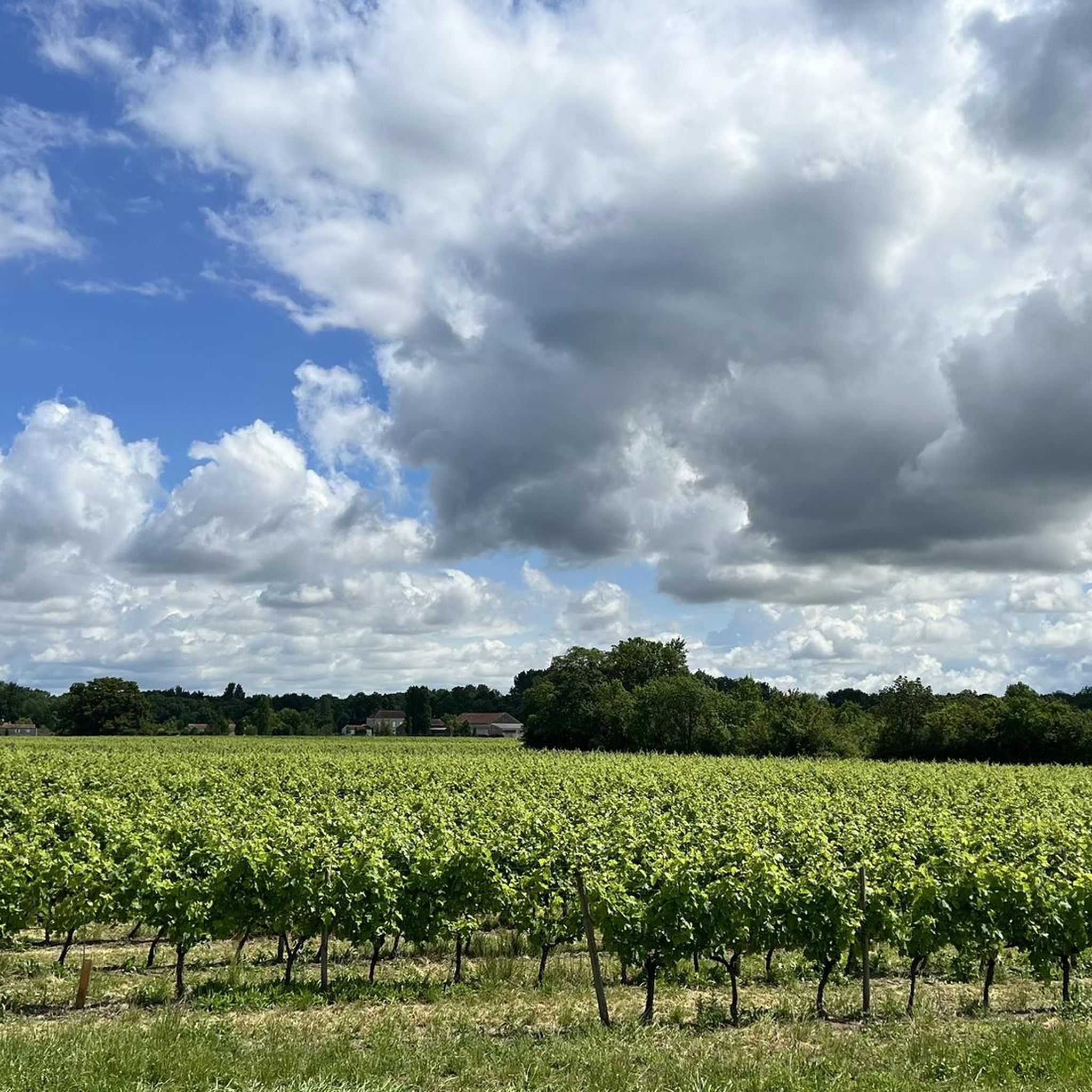
Yes, many of the gravel bike trails around Mons are designed as circular loops, allowing you to start and end at the same point. Examples include the Abbaye de Fontdouce – Mill on the Antenne River loop from Richemont and the Vineyard Trail – Beautiful view. loop from Aujac.
What do other gravel bikers enjoy most about gravel biking in Mons?
While specific reviews are limited, the komoot community appreciates the diverse landscapes and varied terrain for gravel biking in Mons. The region offers a mix of challenging ascents and panoramic trails through natural parks, river valleys, and forest massifs, catering to different fitness levels and preferences.
Can I find routes that pass through vineyards or offer scenic views?
Yes, you can. The Vineyard Trail – Beautiful view. loop from Aujac is a moderate 43.9 km route specifically designed to lead through scenic landscapes, including vineyards, offering beautiful views along the way.
Are there any routes that follow waterways or canals?
Yes, the region is known for its waterways. Several gravel routes utilize the scenic Canal du Centre, which connects Mons to Brussels and France. The Grand Large of Mons, an artificial lake, is also a popular spot for cyclists, with routes like 'The Grand Large of Mons – Canal de Nimy-Blaton loop' specifically incorporating these features.
What is the longest gravel bike trail available in Mons?
The longest gravel bike trail currently available is the Abbaye de Fontdouce – Mill on the Antenne River loop from Richemont, which spans 77.9 km and is classified as difficult due to its significant elevation gain.
What is the best time of year for gravel biking around Mons?
Gravel biking around Mons can be enjoyed in various seasons. The varied terrain, including shaded forest routes, makes it pleasant during warmer months. However, the region's natural features are beautiful year-round, so checking local weather conditions before your ride is always recommended.
Most popular attractions around Mons

Get inspired with the komoot mobile app


Explore more
Browse the best Gravel rides in other regions.
