The best gravel rides around Saint-Sauveur-Des-Landes
4.2
(53)
291
riders
37
rides
Gravel biking around Saint-Sauveur-Des-Landes offers routes through a landscape characterized by rolling terrain, agricultural areas, and sections of woodland. The region features a network of paths, including former railway lines converted into greenways, providing varied surfaces for gravel cyclists. Elevations are generally moderate, with some routes featuring gradual climbs and descents.
Best gravel bike trails around Saint-Sauveur-Des-Landes
- The most popular gravel bike trail is Railroad line to Pontorson – Avenue near Pontorson loop from Fougères, a 55.4 miles (89.2…
Last updated: July 15, 2026
4.4
(10)
45
riders
89.4km
04:44
460m
460m
Hard gravel ride. Very good fitness required. Mostly paved surfaces. Suitable for all skill levels.
5.0
(2)
24
riders
31.5km
02:06
190m
190m
Moderate gravel ride. Good fitness required. Mostly paved surfaces. Suitable for all skill levels.

Sign up for free
3.0
(1)
20
riders
Hard gravel ride. Very good fitness required. Mostly paved surfaces. Suitable for all skill levels.
4.3
(4)
23
riders
58.7km
03:27
340m
340m
Moderate gravel ride. Good fitness required. Mostly paved surfaces. Suitable for all skill levels.
2.5
(2)
22
riders
Hard gravel ride. Very good fitness required. Mostly paved surfaces. Suitable for all skill levels.
Get access to more routes and recommendations from other explorers.
Sign up for free
Already have an account?
Our route recommendations are based on thousands of hikes, rides, and runs completed by other people on komoot.
Start today with a free account
Your next adventure awaits.
Login or Signup
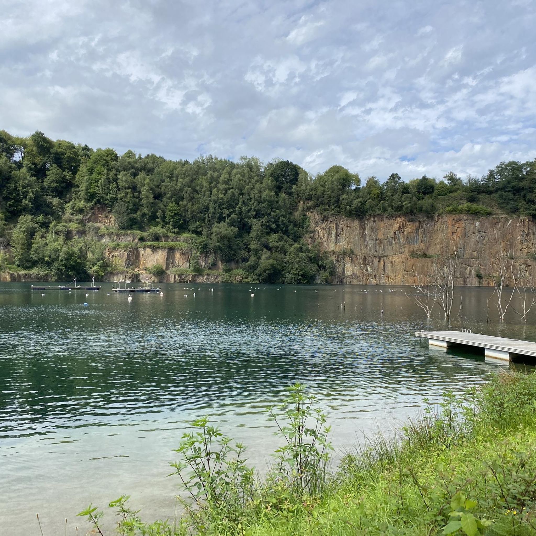

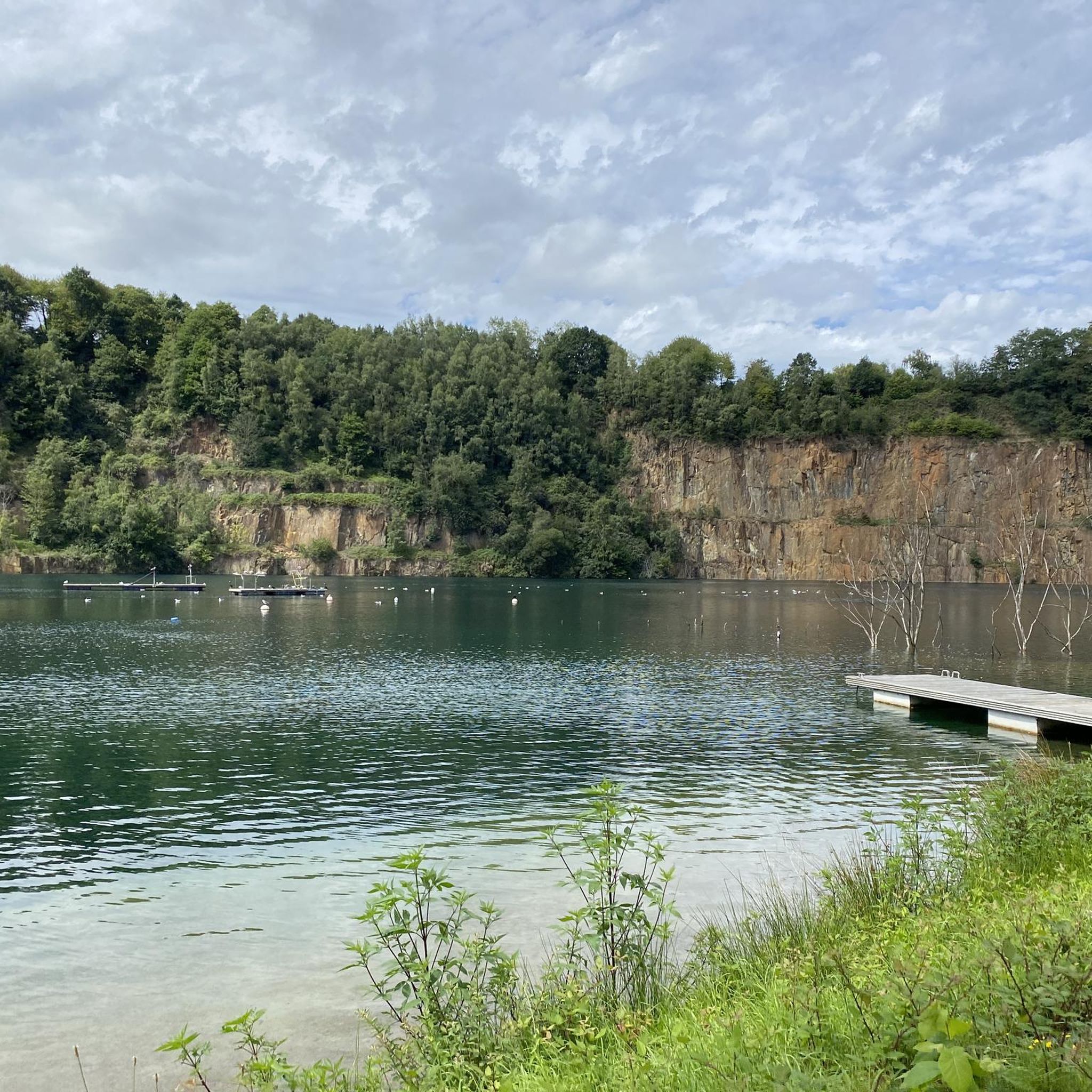
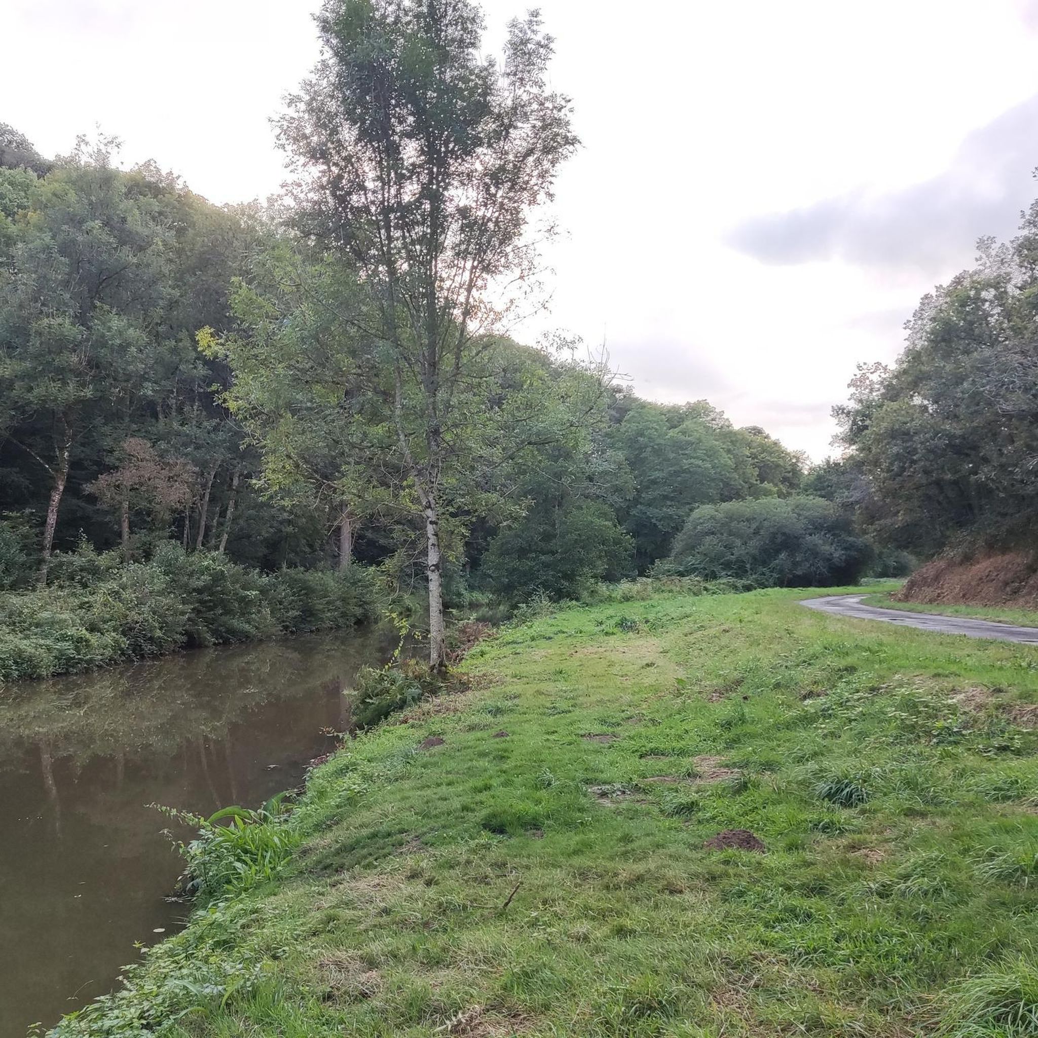

Tips from the Community

From there it looks the strongest !!!
1
0

Lovely route, first along the coast on good cycle paths, then after the large car park via all sorts of narrow roads and villages back to the campsite in Ceaux.
0
0

Parts of the route along the sea do not exist or are forbidden for bicycles
0
0

If there's a remarkable site that's worth a detour, it's Mont St Michel!
1
0

This greenway between Mont Saint-Michel and Pontorson alternates between magnificent stretches with unobstructed views and shaded sections with bucolic charm. Away from road traffic, this section reveals the unique calm of nature.
0
0


Go at low or high tide
2
0

beautiful old town church
1
0
Frequently Asked Questions
How many gravel bike trails are available around Saint-Sauveur-Des-Landes?
There are over 50 gravel bike trails in the Saint-Sauveur-Des-Landes area, offering a diverse range of routes for all skill levels. This includes 4 easy, 27 moderate, and 20 difficult routes.
Are there any long-distance gravel cycling routes in the region?
Yes, Saint-Sauveur-Des-Landes features several long-distance routes. For an extensive ride, consider the Fougères–Vitré Greenway – Railroad line to Pontorson loop from Baillé, which covers approximately 145 km and is rated as difficult. Another challenging option is the View of Mont Saint-Michel – The Couesnon at Beauvoir loop from Fougères, spanning about 124 km with varied terrain.
Where can I find parking for gravel trails in Saint-Sauveur-Des-Landes?
Many routes start from towns like Fougères, Lécousse, or Baillé, where public parking is generally available. It's advisable to check specific starting points of your chosen route on komoot for detailed parking information, as some trails may have designated parking areas.
Are there any beginner-friendly gravel bike trails?
While many routes are moderate to difficult, there are options suitable for beginners. The region's greenways, often converted from former railway lines, provide consistent surfaces that are generally easier to navigate. Look for routes marked as 'easy' on komoot to find the most suitable options.
What are some family-friendly gravel biking options?
For families, routes that utilize the greenways are often the best choice due to their flatter profiles and consistent surfaces. These paths minimize traffic and offer a safer environment for younger riders. We recommend checking the difficulty ratings on komoot and choosing 'easy' or 'moderate' routes that avoid significant elevation changes.
What is the best season for gravel biking in Saint-Sauveur-Des-Landes?
The best seasons for gravel biking are typically spring and autumn, when the weather is mild and the natural scenery is vibrant. Summer can also be pleasant, but it's wise to start earlier in the day to avoid the midday heat. Winter riding is possible, but trails may be muddier, and daylight hours are shorter.
Are there any circular gravel bike routes?
Yes, many of the gravel routes in Saint-Sauveur-Des-Landes are designed as loops. For example, the With Thierry loop from Lécousse offers a moderate 31.5 km ride through rural landscapes. Another popular loop is the Railroad line to Pontorson – Avenue near Pontorson loop from Fougères, which follows a former railway line for about 89 km.
What kind of terrain can I expect on the gravel trails?
The gravel trails around Saint-Sauveur-Des-Landes feature a mix of surfaces. You'll encounter sections of former railway lines converted into greenways, agricultural paths, and wooded trails. The landscape is characterized by rolling terrain with moderate elevations, offering a varied and engaging riding experience.
What can I see along the gravel bike trails in the area?
Many routes pass through picturesque rural landscapes and near historical sites. You might encounter landmarks such as Fougères Castle, the charming Place du Marchix with its half-timbered houses, or the historic Belfry of Fougères. Some longer routes, like the one near the Couesnon river, offer extensive views of the surrounding countryside.
What do other gravel bikers enjoy most about the trails in Saint-Sauveur-Des-Landes?
The area is highly rated by the komoot community, with an average score of 4.4 stars from over 50 reviews. Riders often praise the varied terrain, the peaceful greenways, and the opportunity to explore rural landscapes and historical towns. The network of paths provides options for different ability levels, making it enjoyable for many.
Are there any advanced or challenging gravel routes?
Yes, for experienced riders seeking a challenge, there are several difficult routes. The Fougères–Vitré Greenway – Railroad line to Pontorson loop from Baillé is a demanding 145 km ride with significant elevation. Another difficult option is the View of Mont Saint-Michel – The Couesnon at Beauvoir loop from Fougères, which spans 124 km and offers varied, challenging terrain.
Can I access these trails using public transport?
While Saint-Sauveur-Des-Landes itself is a smaller commune, routes often start from larger nearby towns like Fougères, which may have better public transport connections. It's recommended to check local bus or train schedules to Fougères or other starting points and plan your journey accordingly, considering bike transport policies.
Most popular routes around Saint-Sauveur-Des-Landes
Most popular attractions around Saint-Sauveur-Des-Landes

Get inspired with the komoot mobile app


Explore more
Browse the best Gravel rides in other regions.
